Jump to content

jm1220

Members
  • Posts

    24,805
  • Joined

  • Last visited

Everything posted by jm1220

  1. Looks to me like there’s more of an attempt of the outer eyewall to take over and lightning in the eyewall. That N eyewall still looks fierce. And some wobbles more northerly.
  2. Looks like it’s wobbling back N now if anything.
  3. Curious to see if this new eyewall developing can close. Still looks healthy if a bit ragged on IR. Like others have said it’s pretty dramatically expanding its windfield at the moment.
  4. Interaction with the jet to the NE doing its work. It’s imparting shear as well but helping the hurricane expand and increasing the IKE which unfortunately means more water being moved and worse surge.
  5. The SE ridge has to be kept in check or the Miller Bs etc won’t matter, it’ll be rain here and probably well north too. There has to be some mechanism to get colder here and keep it here for a storm. We can definitely get blasted by Miller B’s and Nina by itself isn’t a kiss of death IMBY but the overall conditions the last couple of winters with the rampaging Pacific jet and SE ridge has to change.
  6. If they get a prolonged SW wind that drives water into Charlotte Harbor, yep-it’ll be bad for Punta Gorda.
  7. Our ACE card up our sleeve turned out to be a Joker pointing to map with another mega cutter to the Lakes.
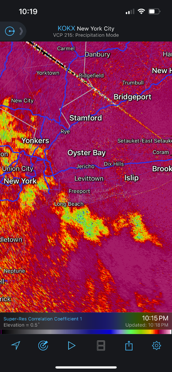
  8. This first band maybe 20 miles offshore will have some rough conditions and definitely some spin-ups.
  9. If it makes the hook to the right sooner, it probably makes landfall sooner. Maybe that would be a little good news in terms of high tide timing since that seems to be overnight. Evening time would be lower tide. Agree about the dry air, it looks pretty potent. Dew points in coastal LA have been in the 40s, so it could have a quite detrimental effect on Milton if it can get wrapped in.
  10. Pointing out that it may be weakening is fine. Saying “bust” or a variation of bust, “overhyped”, or “imagine all this for a Cat 1” is different and doesn’t belong in this thread. Pretty straightforward.
  11. Maybe a bit more of a tug to the north the last few frames?
  12. The highest tornado risk would be to the right of the storm’s path so that would be S FL. That’s where the most favorable conditions exist for supercells and tornadoes.
  13. I wondered this before but for the people hit really hard for this, how many will just decide to leave and not rebuild. There’ll probably be others that move in right behind them but they’ll find it impossible to get insurance.
  14. That far south is probably fine for major impacts but an unlikely outer band or two could mean impacts enough to knock out power maybe. There are also the issues with tornado risk east of the path. It probably exits around Cape Canaveral area, maybe Melbourne/Sebastian if it trends south.
  15. As someone who lived in Long Beach for it and lost almost everything, I can relate. The super high tide from the full moon made it worse along with the timing, so the water level was about 2’ higher along with the 8’ surge making for a 10’ storm tide. My house at the time is about equal to hooralph’s in laws elevation and there was about 3’ of water in the house. It’s an absolute miracle no one in Long Beach died knowing how many refused to evacuate. So yeah, this one will be much more serious for the wrong people who refuse to leave.
  16. Maybe moving more NE again vs ENE. Critical to see how NE it goes and soon for Tampa Bay impact.
  17. Really nasty for the Space Coast. Would cause lots of power outages obviously and minor property damage. Surge as well north of the track.
  18. There’s just a basic mental tendency to want to remain in your supposed safe place-home whenever something is threatening. It’s the opposite of what you should do in this situation but people associate it with safety. People also associated toilet paper with safety during Covid, it’s totally irrational but it’s undeniable. Many people also don’t trust authority figures or the government due to misinformation these days, but I’ll avoid diving further into that rabbit hole.
  19. Sad. And if they get this wrong and it’s 10+ feet, they won’t have time or the means to leave since emergency crews likely won’t be able to get to them. With the storm coming in perpendicular the water will also likely be rising very fast.
  20. If he’s being told to get out he really should get out.
  21. Any place less than 10 feet above sea level and maybe even higher will be absolutely devastated south of the path of the eye in the max surge zone. It’s impacting at a perpendicular angle to the coast which also makes the surge worse. There will probably be new islands altogether since some will have new inlets. Also the surge height is WITHOUT waves on top. It’s the water height above the normal water height.
  22. It's essentially a measure of the hurricane's overall power which is a factor of both its wind speed/central pressure and overall size. So its IKE can still go up as the minimum central pressure does. The surge is influenced by both factors size and wind speed/min central pressure as well, so even if Milton weakens in terms of wind/pressure but expands in size, the IKE can go up and the surge may be worse since more water is being moved overall. If it gets funneled into a bay or inlets it's made even worse.
  23. Thanks and good luck on your search. For MBY I’d say 17-18 was the best of the bunch, close with 10-11 which was an awesome NYC winter but generally serviceable other than 22-23 which was obviously a disaster. That blend would be maybe 25-30” for the winter here, slightly below average but would gladly take at this point. Hope we get the poleward Aleutian ridging which can force the downstream cold/PV further south. Whatever can disrupt the Pacific jet is more than welcome.
×
×
  • Create New...