jm1220
-
Posts
26,142 -
Joined
-
Last visited
Content Type
Profiles
Blogs
Forums
American Weather
Media Demo
Store
Gallery
Everything posted by jm1220
-
These almost always edge back east at the end and the NAM’s the NAM. Otherwise we just watch to see where the best banding sets up.
-
White rain. WTF.
-
It’s worth a New Orleans trumpet lol.
-
12/30/00 was sure as hell no change to sleet and that must've been 4" per hour when it was the once I heard thundersnow. Was literally blinding heavy snow. The rain line wasn't too far east in Suffolk County, Long Beach lucked out for once that day.
-
I have someone else in mind. @Allsnow
-
Mine did pretty well this winter so far! (I'm not doing it lol)
-
For Jan 2016 I remember it raining for about 30 seconds in Austin and getting windy, which was the initiating system to get the HECS going. That was my part in it. It was 50/50ish until the last minute how much would make it to NYC. That day it was gorgeous, 75 degrees there and I just looked at the palm tree next to my swimming pool and laughed.
-
It was planned for a while and worked out with cheap hotels/flights weekend after Mardi Gras.
-
We can be a two man therapy group. Part of the whole evolution of this was the cold front and winds happening here so I guess in some way I’m taking part in it lol.
-
It sucks-no lie. I was in Boston last weekend and I definitely thought that one would edge north at the end because I wasn’t home.
-
Would you consider drowning in rain on 3/14/17 when 12”+ was predicted/blizzard warning as missing it? There will be others. Uuuuuugghh
-
Hour or so ago we had the cold front come through New Orleans, now noticeably chillier and windy as hell. It was 82 today.
-
I missed Jan 2016 when I was living in Austin. Not the first time.
-
I…. yeah. It sucks. But I’m thrilled for everyone and there will be plenty left when I get home.

-
There’s a capture that sorta happens as the storm stacks/starts to occlude.
-
I have a confession to make-I’m missing it too. I’m in New Orleans at a friend’s birthday. I looked into coming back today and it just wasn’t feasible and tomorrow forget it. It sucks lol. I’m supposed to come back Tuesday but who knows about the situation with the airports by then.
-
Maybe the boardwalk in Seaside Heights just croaks under all the snow.
-
Buy a dozen Monsters at whatever store still having anything left on the shelves.
-
My my my.
-
It can’t be the NAM until we have a run that shows 40” ala Feb 2013.
-
Might be very Boxing Day 2010-esque how a death band sets up over NJ.
-
NYC: 18.4" LGA: 19.1" JFK: 20.6" ISP: 23.2" EWR: 18.7"
-
Maybe Long Beach-Allegria Hotel. TWC’s been there in the past.
-
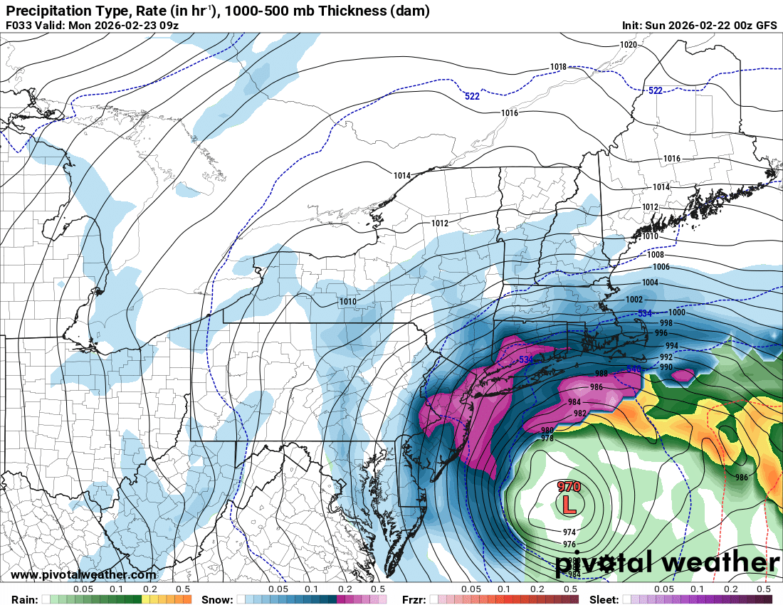
Overnight Monday morning is going to be absolutely insane.
-
I’d go 18-24” for Nassau/Suffolk and coastal NJ, 12-18” everywhere else. It looks completely primed for possibly a historic event. Someone where banding can pivot overhead might get 30”.