

Met1985
-
Posts
16,911 -
Joined
-
Last visited
Content Type
Profiles
Blogs
Forums
American Weather
Media Demo
Store
Gallery
Everything posted by Met1985
-
Post it Dawg!
-
Yeah looks like the front has crossed Crossville TN. A sharp drop off from there to Knoxville. Moisture looks good.
-
Well I'd rate this storm a B-. We rarely get an ice event like this but this morning was a surprise. Looking forward to flow snow tonight on the backend of all this mess. Also if I come across strong with any of yall my apologies. I know this storm tested a lot of us and our friendships on here. Ill admit im an asshole from time to time but I mean well. It was great tracking with you lads.
-

Southern Crippler - Get well soon Jimbo Storm Obs
Met1985 replied to BooneWX's topic in Southeastern States
It's not a big snow but glad most are seeing some decent winter weather. -
Lol not for me. As a hobbyists I want as much access as I can get. If it's on stormvista then I may look into it myself.
-
No I appreciate. We'll see what happens with it in the future.
-
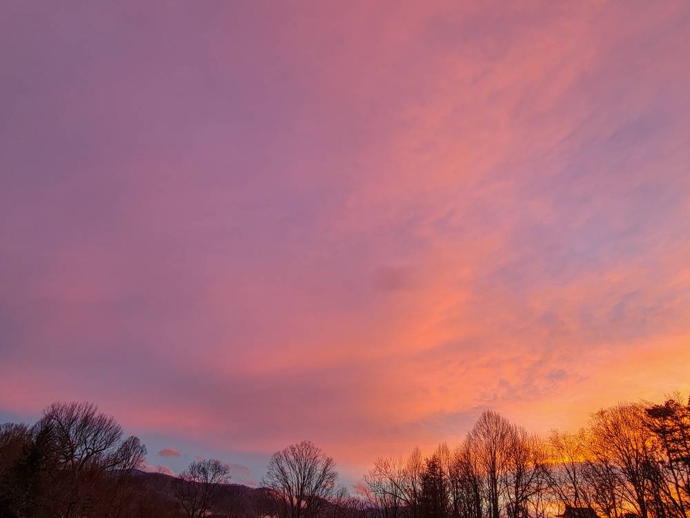
A beautiful sunset this evening. Sent from my SM-G998U using Tapatalk
-
That helps us a lot...
-
Fog setting in and temp steadily dropping. Down to 42 currently.
-
You got a link? Is it on Pivitol?
-
What model is that?
-
Southern Crippler - Get well soon Jimbo Storm Obs
Met1985 replied to BooneWX's topic in Southeastern States
The freezing level for yall is deep. -
A lot of busts with this storm but we are always hard to forecast for especially in dealing with a strong CAD like we have had this weekend. I don't think any model nailed down this storm.
-
I had risen to 53 ironically during that heavy band of rain but have fallen back to 45 currently.
-
Probably the best thing.
-
Does it because your still in it lol.
-
Lol yeah pretty much this.
-
Heavy rain and 48 here. Waiting for the front to blow through here.
-
Reed has been all over it. Looks like a war zone there with ice.
- 618 replies
-
- 1
-

-
- observations
- obs thread
- (and 1 more)
-
Dude good luck.
-
I feel for you man. I've read through some comments and even tried to explain some things to people but they are clueless or don't want to listen.
-
If im not mistaken the front is ahead of schedule.
-
Looking at the GFS, NAM 3K, and the EURO it looks like the snow will move back in tonight actually and the gfs is showing little pulses of flow snow through Monday night.
-
Southern Crippler - Get well soon Jimbo Storm Obs
Met1985 replied to BooneWX's topic in Southeastern States
Yup very true. -
Southern Crippler - Get well soon Jimbo Storm Obs
Met1985 replied to BooneWX's topic in Southeastern States
Yeah very true.
