Met1985
-
Posts
16,970 -
Joined
-
Last visited
Content Type
Profiles
Blogs
Forums
American Weather
Media Demo
Store
Gallery
Everything posted by Met1985
-
Yes sir especially with all the energy we are going to see.
-
Id say right now a conservative 3 to 6 inches. A lot of energy flying around..we've got energy coming down from the PV and then the low. Kind of a 1 two punch possibly.
-

The “I bring the mojo” Jan 30-Feb 1 potential winter storm
Met1985 replied to lilj4425's topic in Southeastern States
It won't. Hopefully just slight movements north with such a strong arctic high. -
The “I bring the mojo” Jan 30-Feb 1 potential winter storm
Met1985 replied to lilj4425's topic in Southeastern States
You shouldn't be surprised. -
Also for the near future we will see a reinforcing shot of cold air and the high elevations may see some flurries tonight.
-
Obviously having the Euro bite is huge for us. A cold ground, a true arctic high building in, high winds. This has all the makings of a fun weekend.
-
Shouldn't be any with the moisture coming from the East.
-
Regardless of if this system throws moisture back our way it looks like we are going to have a few impulses that come through here with the PV lobe. I don't think it will just be flow snow either.
-
The “I bring the mojo” Jan 30-Feb 1 potential winter storm
Met1985 replied to lilj4425's topic in Southeastern States
Doesn't look good fellas. -
The “I bring the mojo” Jan 30-Feb 1 potential winter storm
Met1985 replied to lilj4425's topic in Southeastern States
Are there public records were we can look at the verification scores? -
The “I bring the mojo” Jan 30-Feb 1 potential winter storm
Met1985 replied to lilj4425's topic in Southeastern States
Also on that note I wouldn't believe anything the GFS spits out until about 2 days before the event. -
The “I bring the mojo” Jan 30-Feb 1 potential winter storm
Met1985 replied to lilj4425's topic in Southeastern States
This weathernext needs a bigger sample size than 2 storms. There are a lot of variables and I'd like to see verification scores. Are there any such thing or is this just by word of mouth because some be riding it like it's a perfect model... -
A cold morning out. Current temp is 1°.
-
My coldest last year was 3 degrees I believe. Yeah -6 ain't too shabby.
-
Is that reading colder than all of last year?
-
Down to 7 degrees already.
-
Spring will be delayed this year. We will have multiple chances.
-
Temp down to 8 already.
-
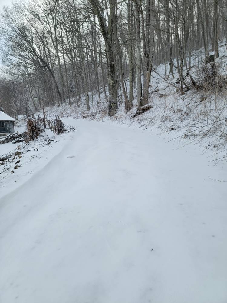
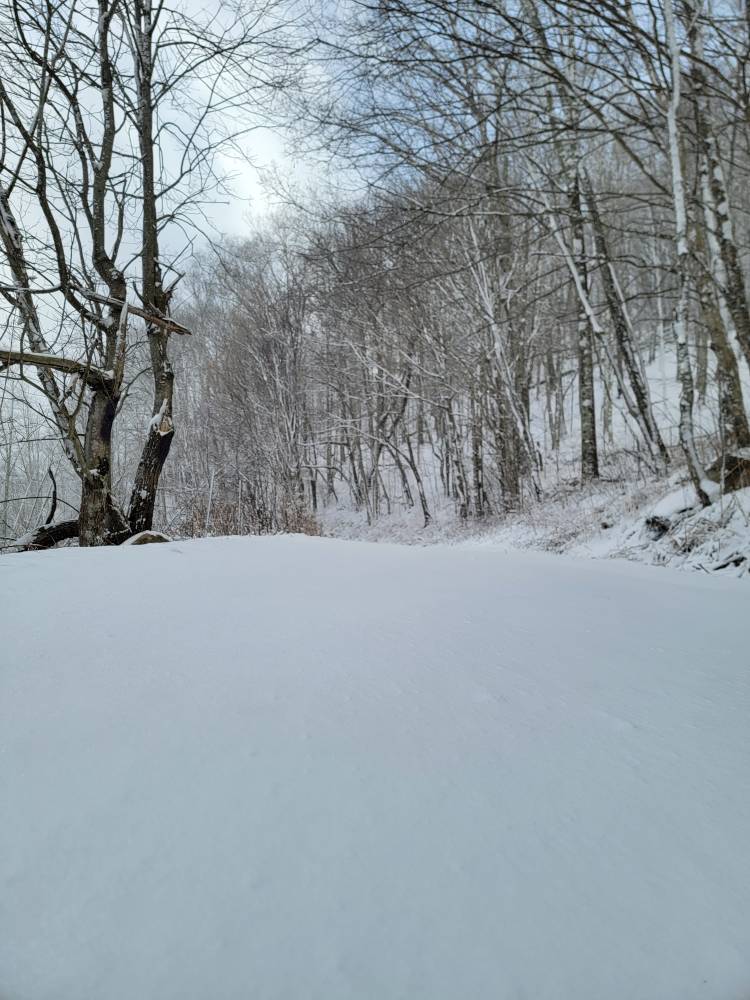
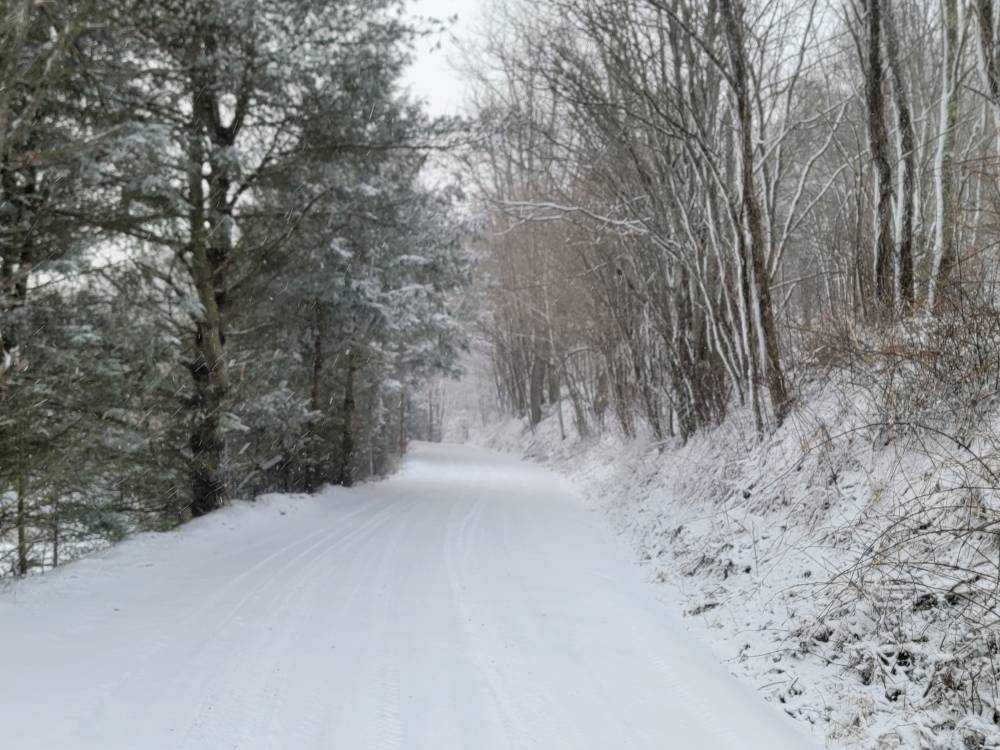
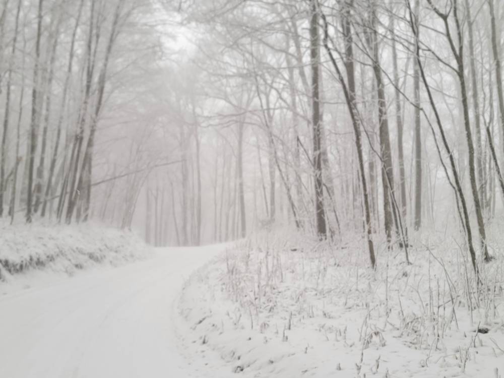
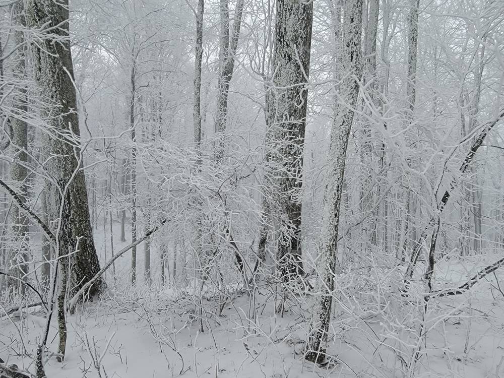
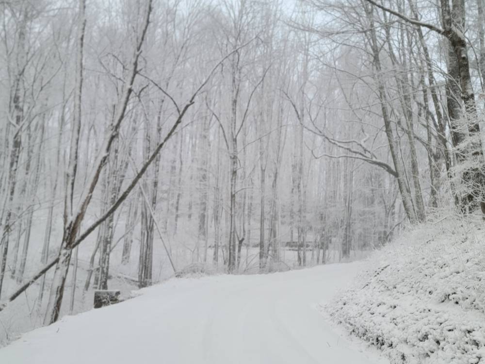
Temp down to 10 degrees here. This stuff looks like your in a snow globe blowing around.
-
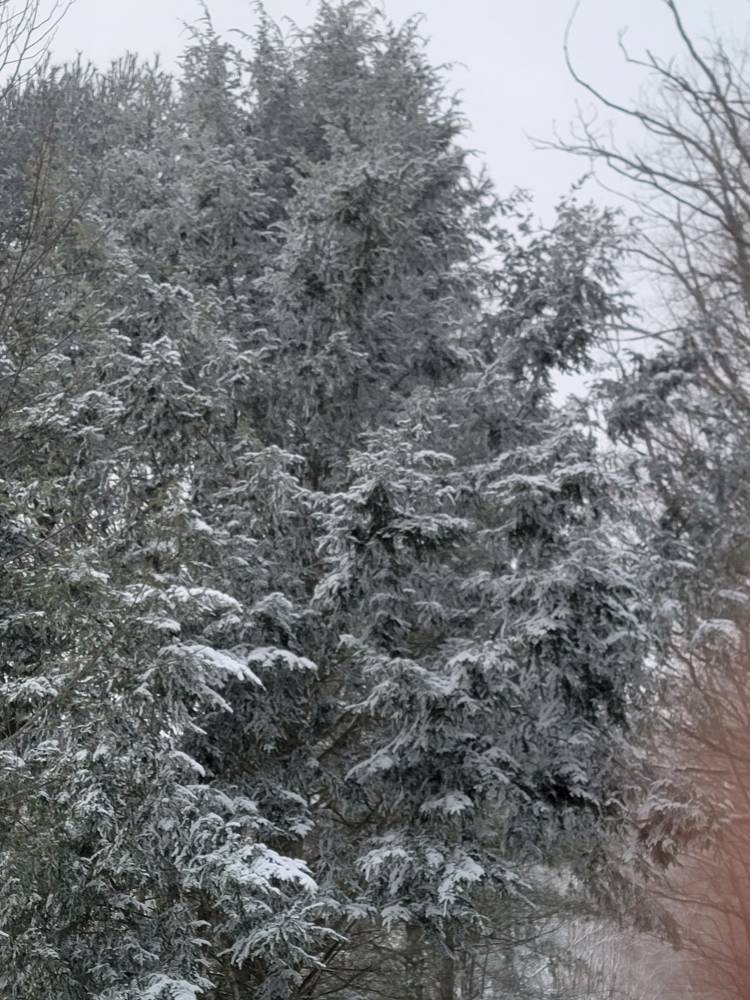
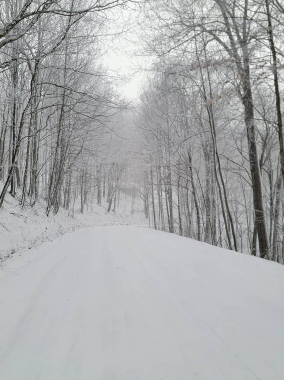
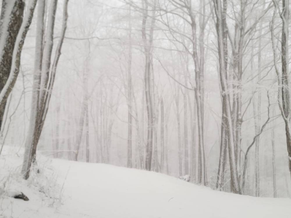
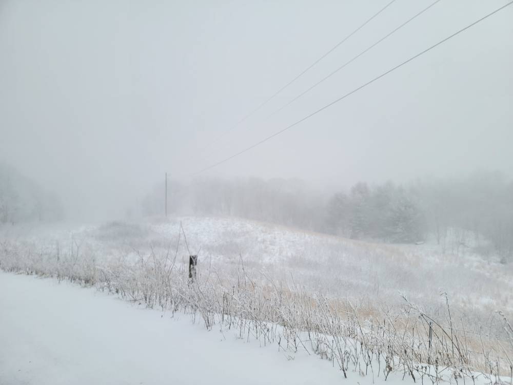
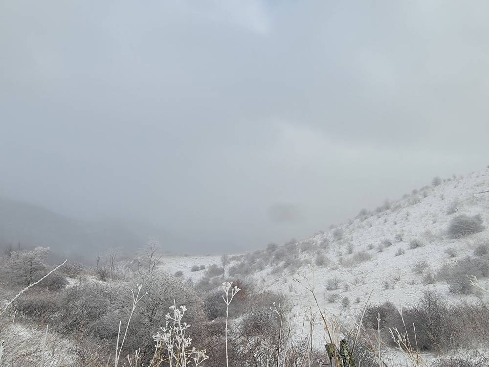
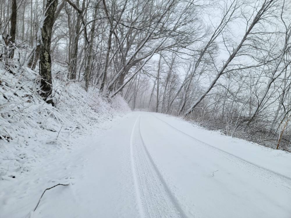
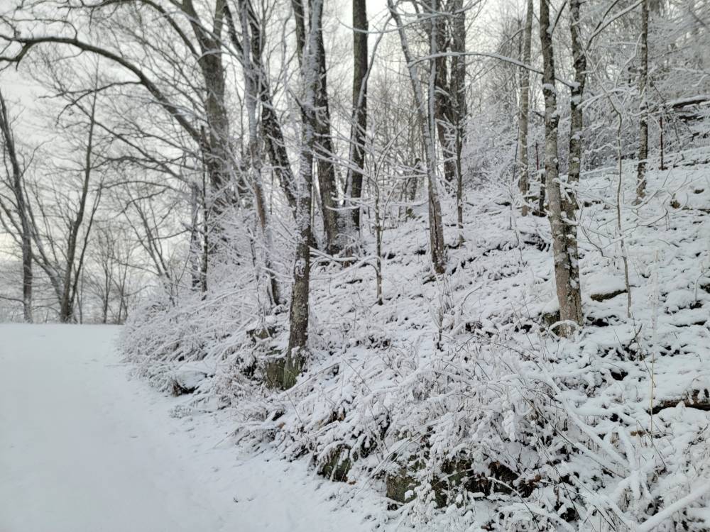
Got a lot of great pictures this afternoon Sent from my SM-G998U using Tapatalk

-
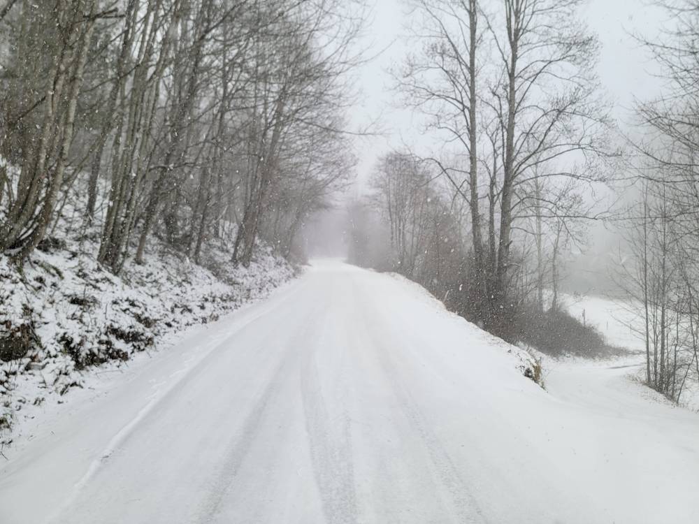
Absolutely smoking it up Fines Creek Sent from my SM-G998U using Tapatalk
-
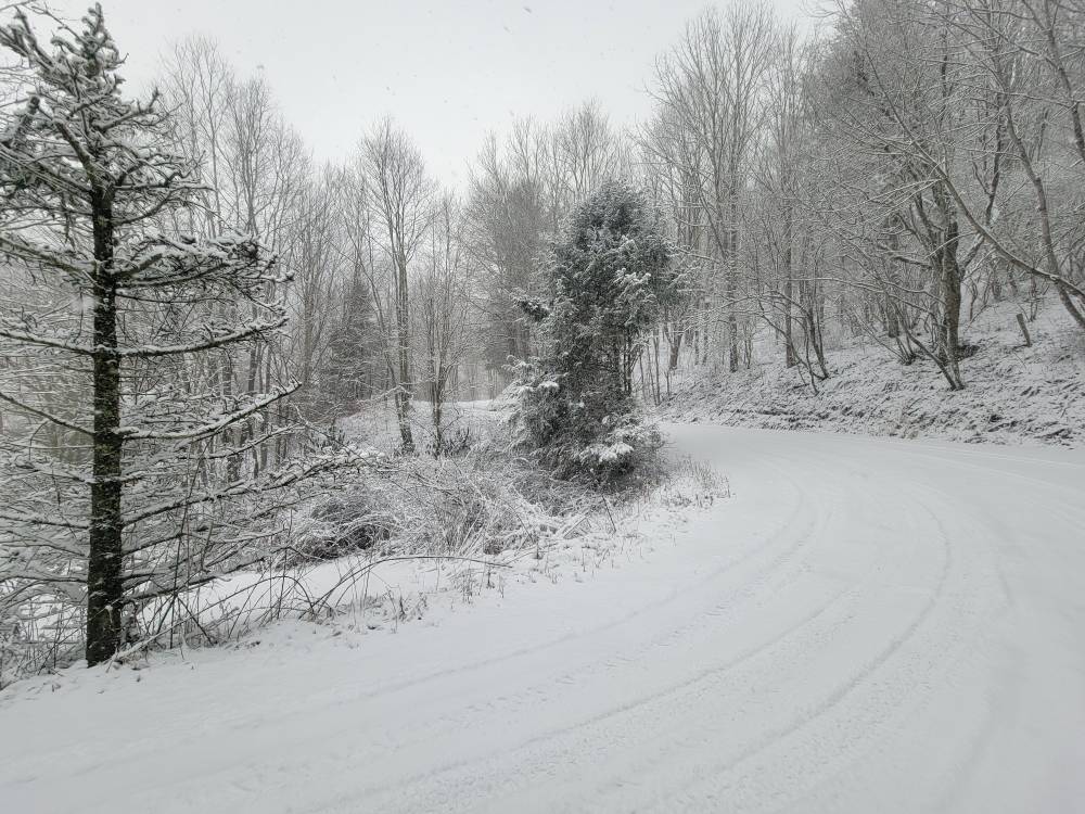
A winter wonderland! Sent from my SM-G998U using Tapatalk


-
Pouring the snow again this evening. My mountain has disappeared and it's hammering.
-
The “I bring the mojo” Jan 30-Feb 1 potential winter storm
Met1985 replied to lilj4425's topic in Southeastern States
Make that 1 day out. -
The “I bring the mojo” Jan 30-Feb 1 potential winter storm
Met1985 replied to lilj4425's topic in Southeastern States
WeatherNext isn't available to the public yet so I really could care less at this point. I'd like to see verification scores myself. The Euro does great at the H5 pattern. Better than any other model. I guarantee you that. But as far as precipitation, thermals, and what not ALL the models have struggled severely this season.