

Met1985
-
Posts
16,911 -
Joined
-
Last visited
Content Type
Profiles
Blogs
Forums
American Weather
Media Demo
Store
Gallery
Everything posted by Met1985
-
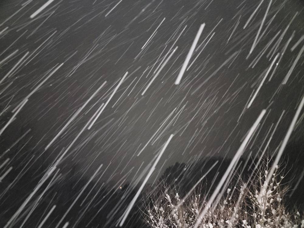
Temps keep dropping. Down to 15 degrees and it's nuking.
-
I think severe have a shot at a foot of snow.
-
About 12 more hours of this fellas!
-
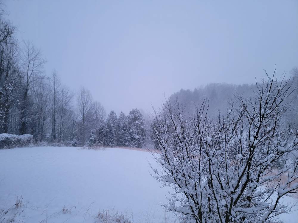
Im like a kid on Christmas morning fellas! Just freaking gorgeous. Sent from my SM-G998U using Tapatalk
-
First light Sent from my SM-G998U using Tapatalk
-
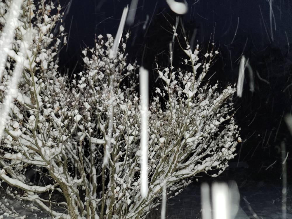
Closing in on 5 inches out pouring currently. Temp down to 16 degrees with excellent snow growth. Sent from my SM-G998U using Tapatalk
-
Down to 18 degrees as well.
-
Hammering out. Sent from my SM-G998U using Tapatalk
-
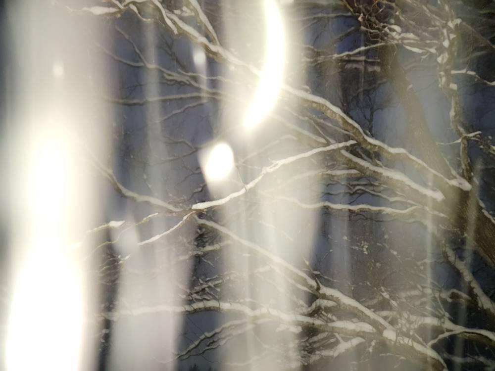
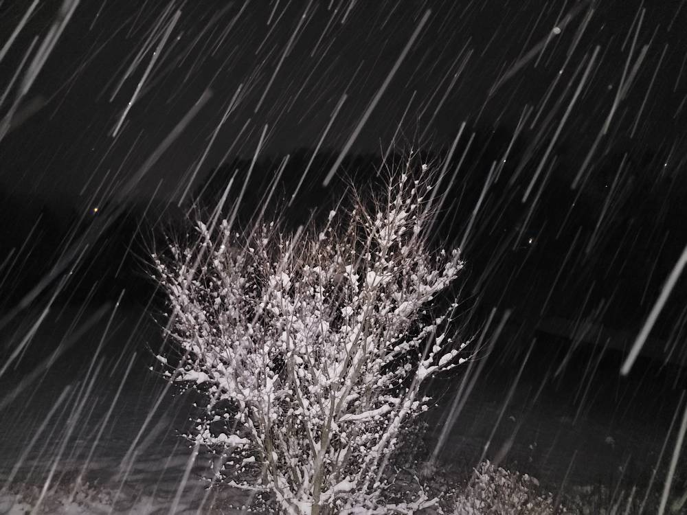
Heavy snow with a current temp of 20 degrees. Got no clue on depth because everything is so uniform looking now.
-
3 inches with moderate snow. This stuff is just beautiful with fatties coming down.
-
2 inches and counting. Temp is 25 degrees with light snow currently.
-
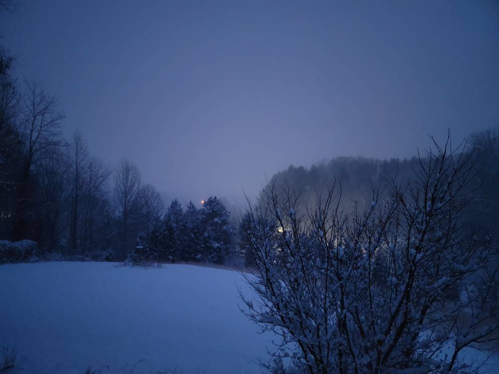
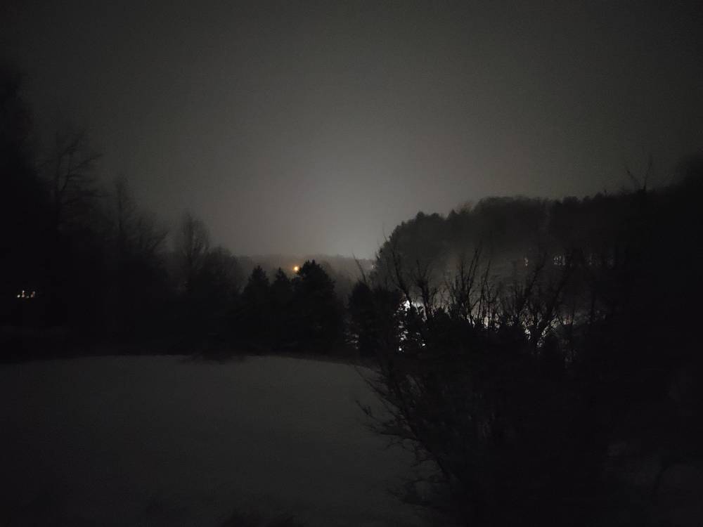
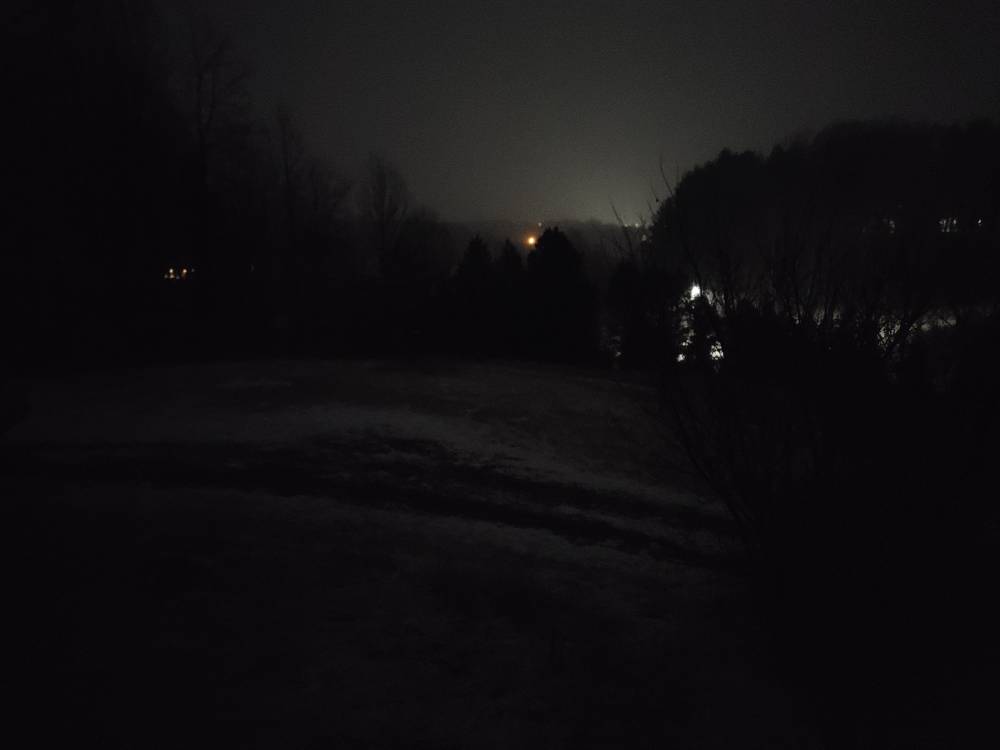
A cool nighttime photo of the snow. Can't hardly see town. Sent from my SM-G998U using Tapatalk
-
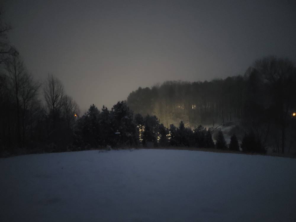
Atmosphere is really saturating now.
-
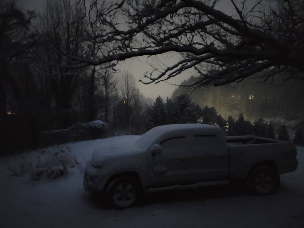
26 degrees, vehicle is covered and steady snow.
-
Yall will start later tonight.
-
28 degrees moderate to light snow currently. Laying immediately.
-
Honestly at this point the models can suck it. It's time to look at the radar returns and what you've got outside. Time to go from model watching to obs watching. We've tracked the heck out of this thing. Now it's time to track how many inches we are getting. Good luck to all. This is one of the best setups we've seen in years Honestly. If you live a busy life then slow down this weekend and enjoy your hobby.
-
Im over in East Asheville. The cloud deck has lowered but that's about it.
-
Best run so far and at the right time.
-
Moisture is banking up along the border now especially the northern mountains.
-
Euro has been rock steady.
-
Yeah Steve and I were talking last night about this being a 3 phase storm. First you have the snow, then the wind then the bitter cold temperatures. This is a dangerous weekend here in the mountains.
-

The “I bring the mojo” Jan 30-Feb 1 potential winter storm
Met1985 replied to lilj4425's topic in Southeastern States
Wrong thread bro. -
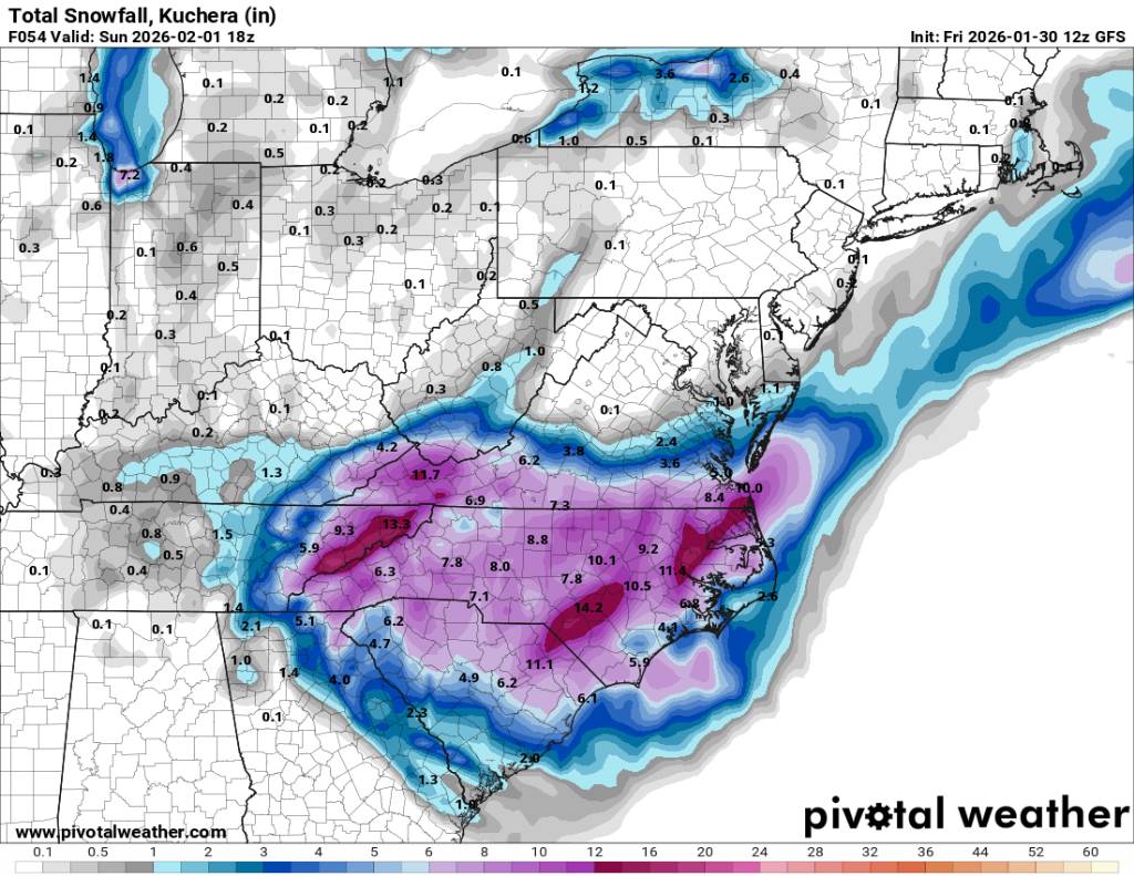
A great run by the 12z gfs and along the border counties I think we see flow snow until Sunday morning. I think the models are cutting the flow off too soon. But a great run in general. Sent from my SM-G998U using Tapatalk

-
12z gfs Sent from my SM-G998U using Tapatalk
.thumb.jpg.3fc6e59a4ec320cd41be2b975b5606e0.jpg)


.jpg.765100952429a98bbde076248a2d819c.jpg)