Met1985
-
Posts
16,963 -
Joined
-
Last visited
Content Type
Profiles
Blogs
Forums
American Weather
Media Demo
Store
Gallery
Everything posted by Met1985
-
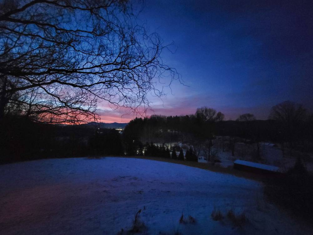
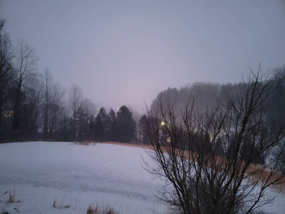
Beautiful sunrise this morning. Sent from my SM-G998U using Tapatalk
-
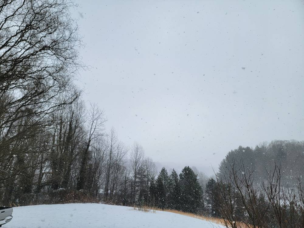
Light flurries this morning still. It's very calm out there currently. Low of 12 degrees with another half inch picked up overnight it looks like. Might have been an inch but the wind was whipping everything around. So my storm total is 7.5 inches. Not too freaking bad at all.
-
Moderate snow just about all evening. Another half inch added to the storm total. Temp at 15.
-
Yeah @Buckethead and I were talking about that today.
-
Temp down to 16 degrees with moderate snow. So far storm total is 6.5 inches.
-
Snow will pick up along the border counties and I wouldn't be surprised so see snow into tomorrow morning right along the border.
-
Ill second that by saying the Euro at most had us getting maybe an inch of snow across the mountains and the gfs was painting a different story. Well we've had anywhere from an inch to 7 plus inches of snow and I've had snow falling now for 19 hours straight and 6 inches on the ground. The Euro missed this badly.
-
I hope they break all kinds of records up there. As a snow weenie this is awesome to watch.
-
Snow hasn't stopped here at all. Still going strong. Sent from my SM-G998U using Tapatalk
-
Yeah this flow snow is an overachiever for sure. Has caught a lot of people off guard. The GFS nailed this. The Euro was horrible with this whole system.
-
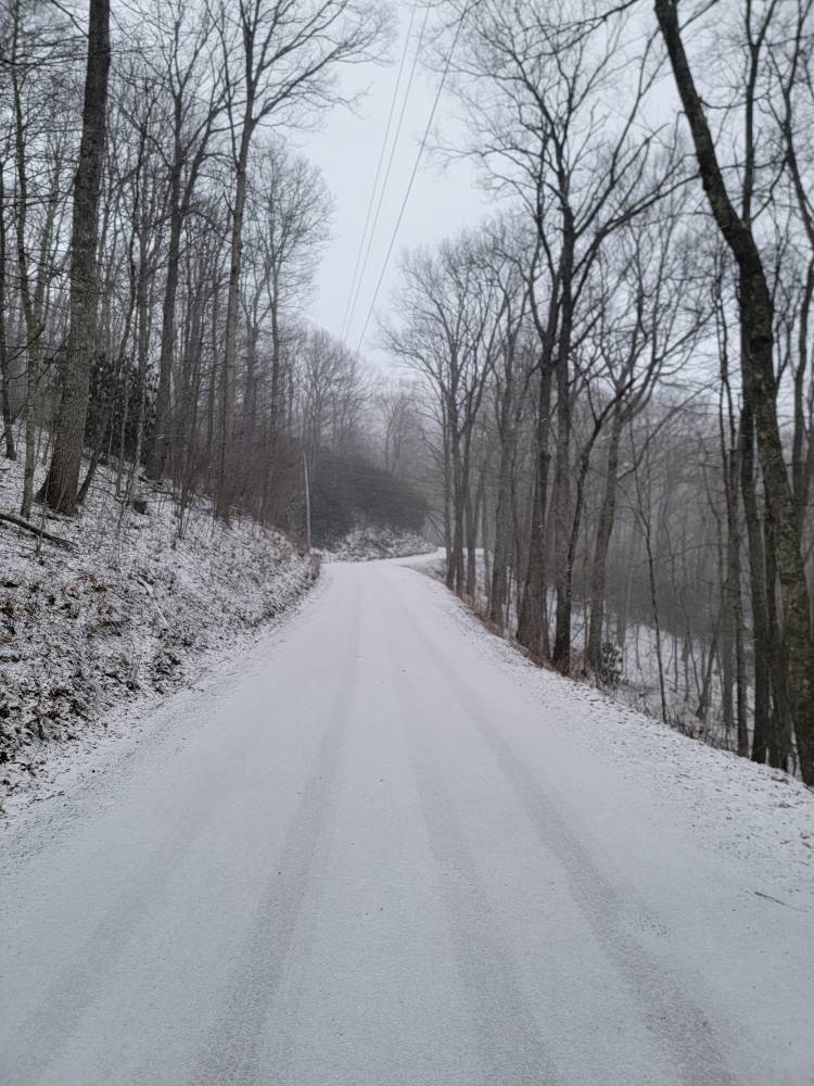
Still hammering here. Don't ever let anyone tell you 4wd can go on ice especially in mountainous terrain. Did a 180 trying to stop on a steep grade because another vehicle was off the bank. It's extremely slick out there this morning. Sent from my SM-G998U using Tapatalk
-
Measured from 5.5 inches to 4.5 so ill call it 5 inches this morning and still snowing. Sent from my SM-G998U using Tapatalk


-
Them and NYC are getting smoked.
-
Still hammering away but no wind. Temp down to 11 degrees. Sent from my SM-G998U using Tapatalk
-
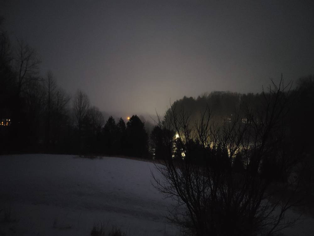
First light this morning. Still pouring the snow. Sent from my SM-G998U using Tapatalk
-
How much you got?
-
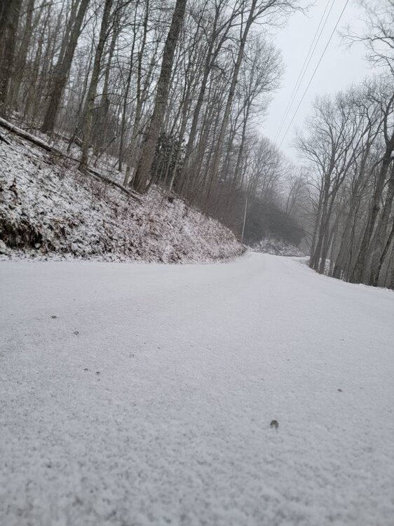
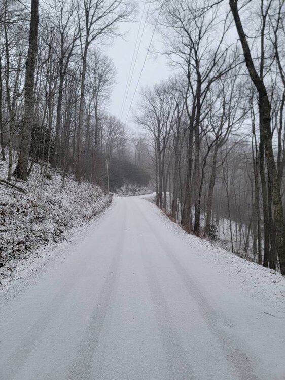
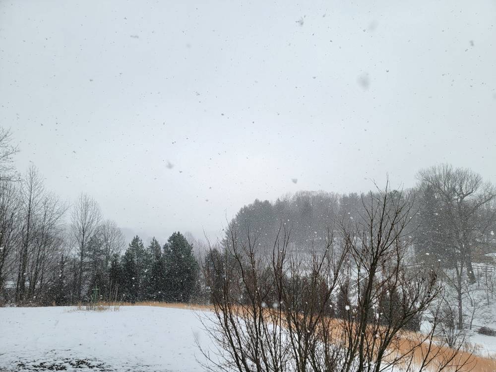
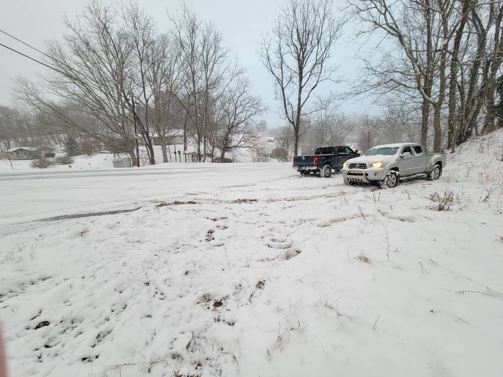
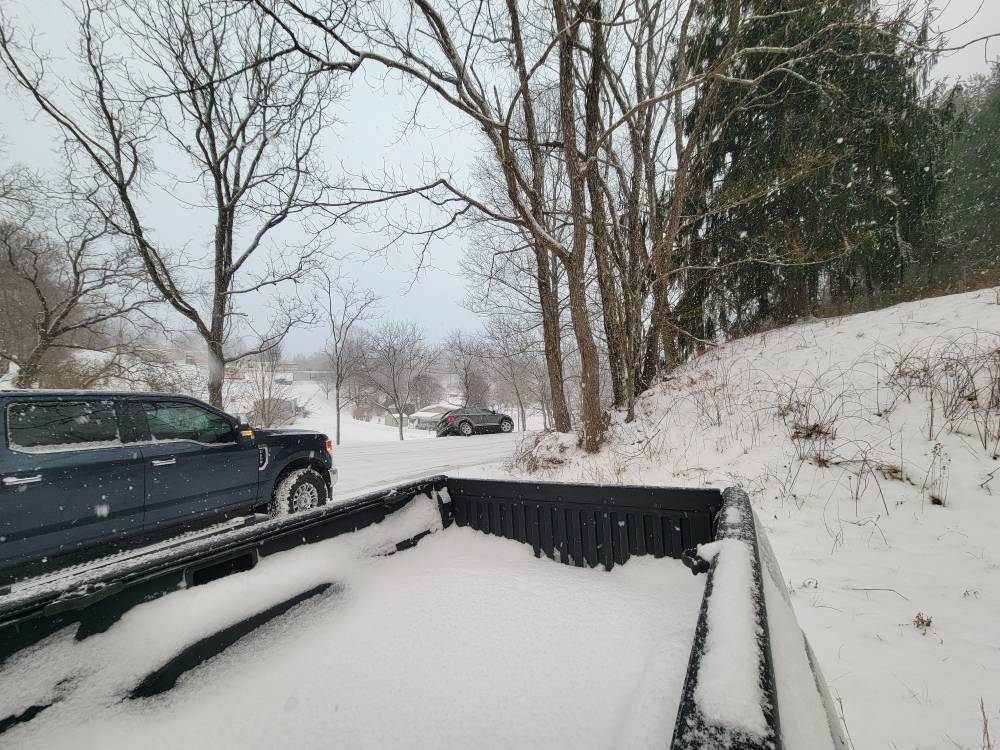
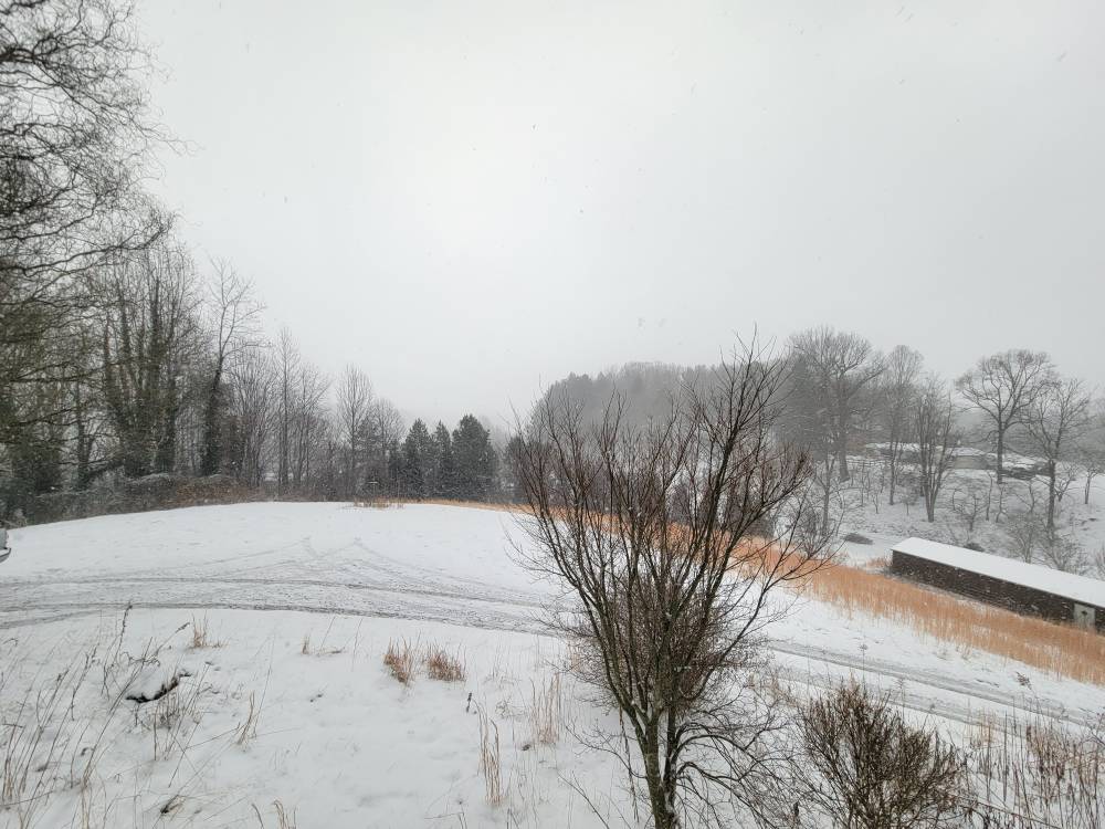
Morning pics Sent from my SM-G998U using Tapatalk
-
It's 12 degrees here and absolutely dumping. Whiteout conditions this morning. Eyeballing about 6 inches but ill go out and measure soon.
-
13 degrees and dumping again.
-
Currently light snow with 2.5 inches and a temp of 16 degrees. That was a fun squall.
-
It's absolutely dumping the snow! 2 inches and counting. Just puking. Sent from my SM-G998U using Tapatalk
-
This evenings squalls are some of the best of the year. Absolutely laying it down with large flakes.
-
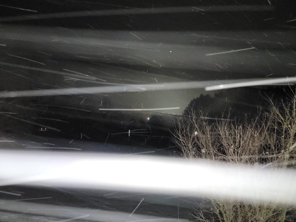
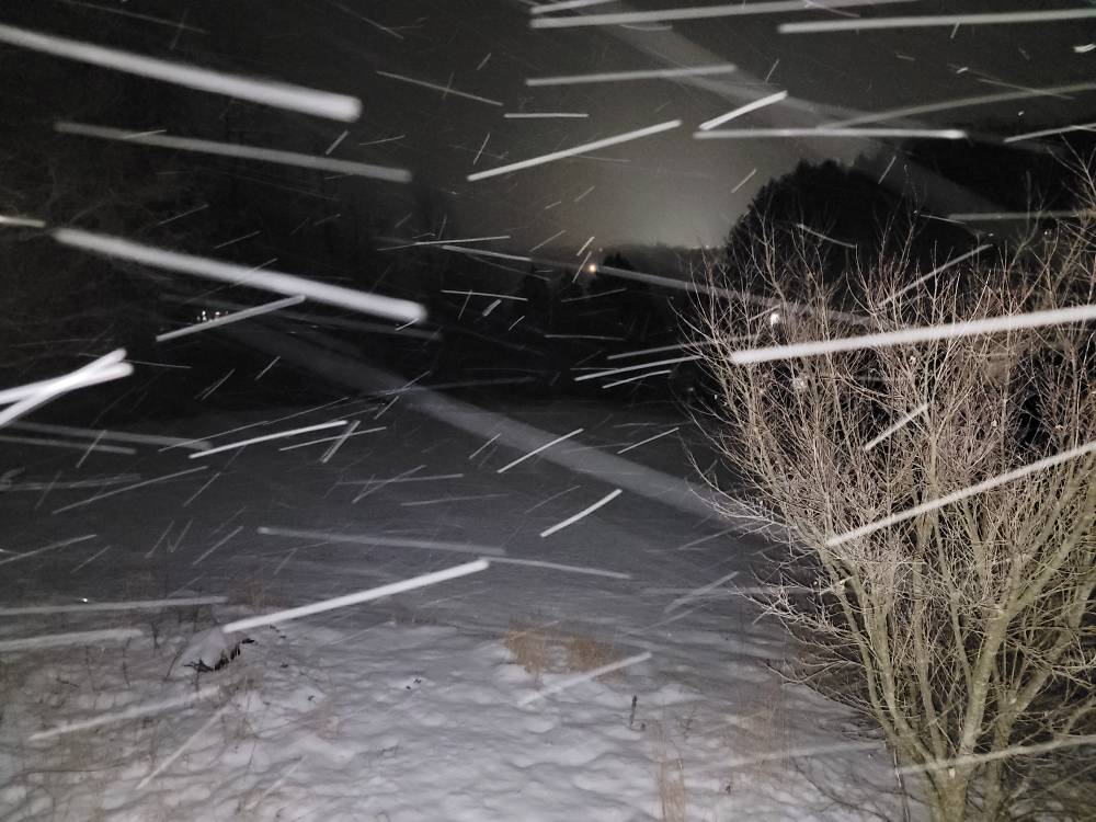
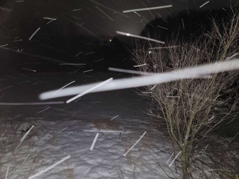
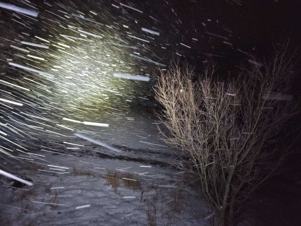
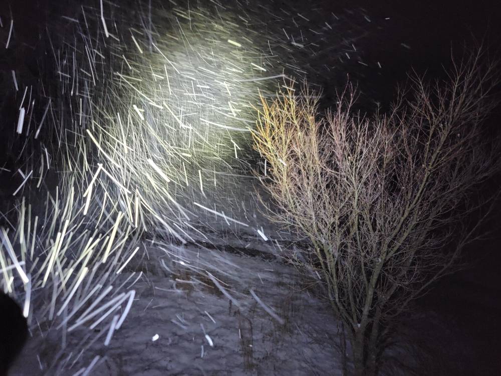
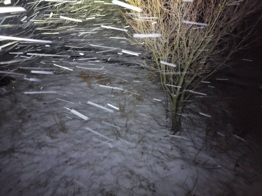
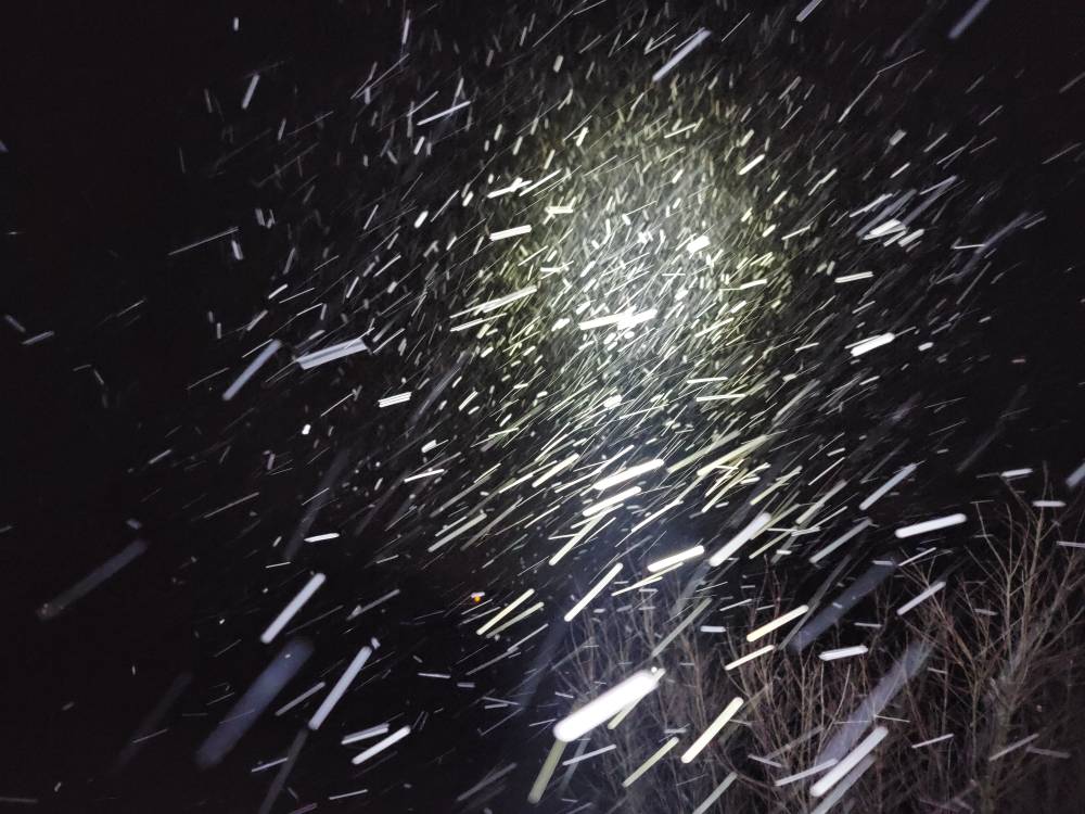
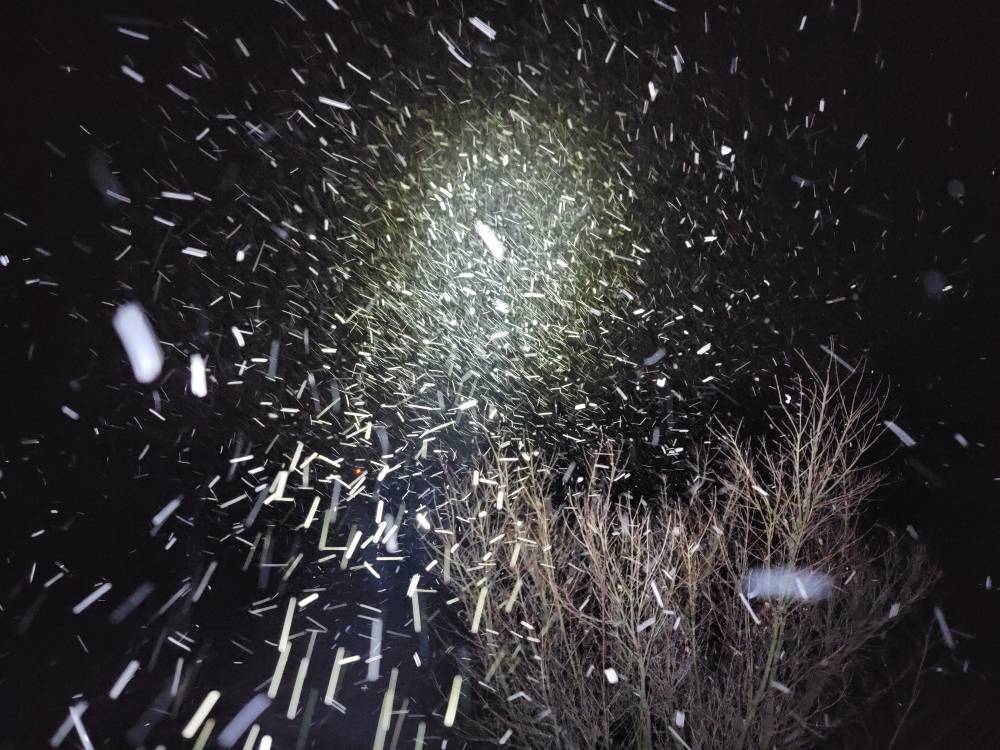
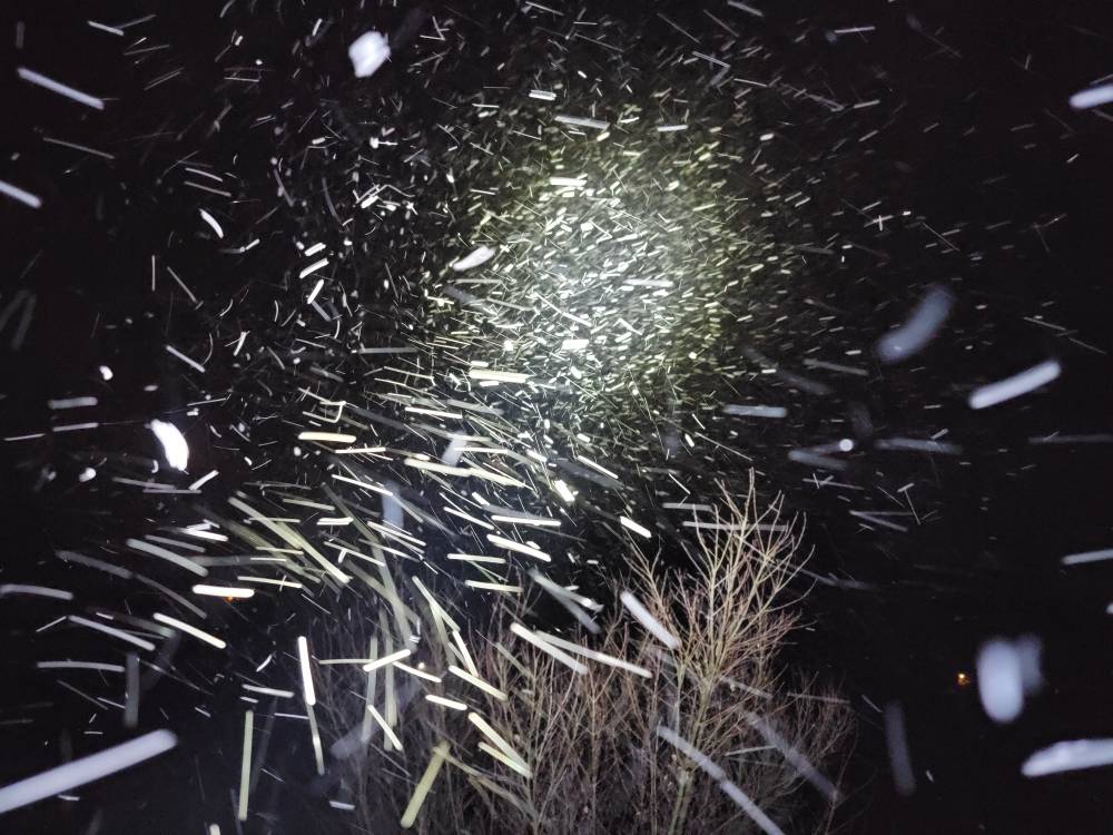
Heavy snow with over an inch so far. Some cool nighttime pics. Sent from my SM-G998U using Tapatalk
-
I'm back at the house with heavy snow, a temp of 19 degrees, and closing in on 1 inch of snow.
-
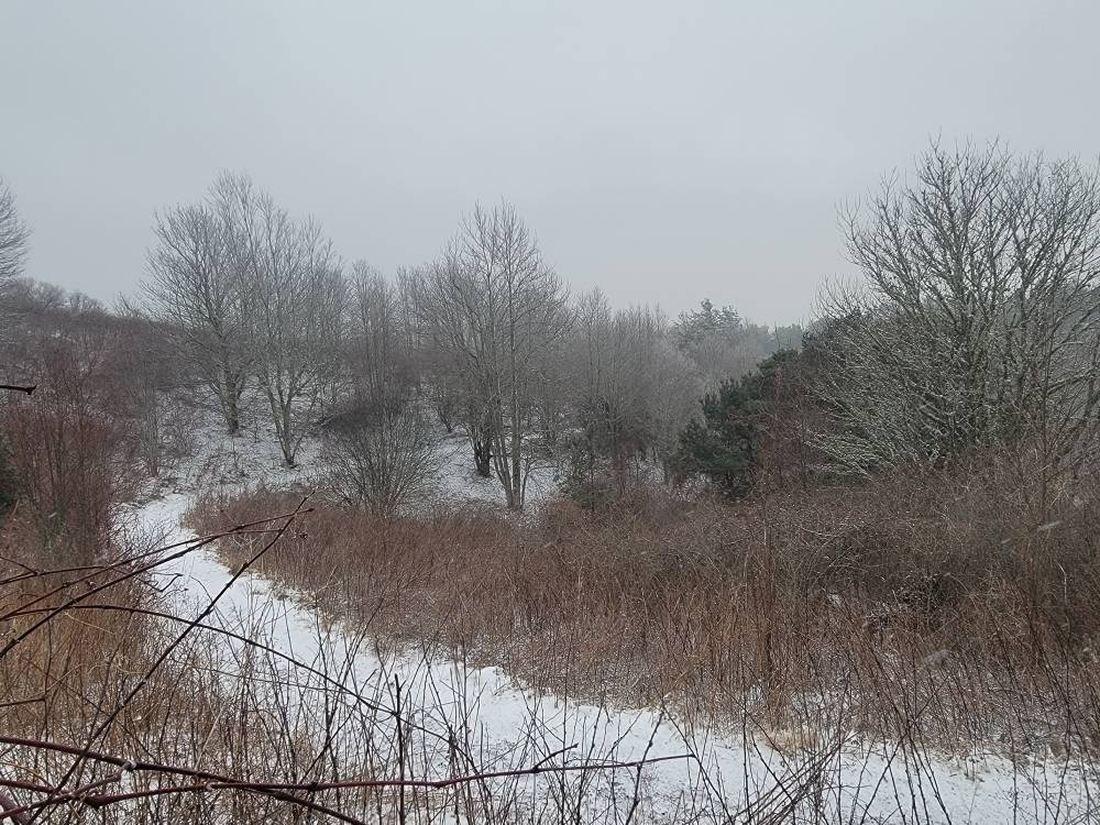
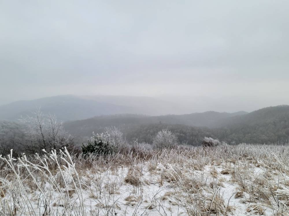
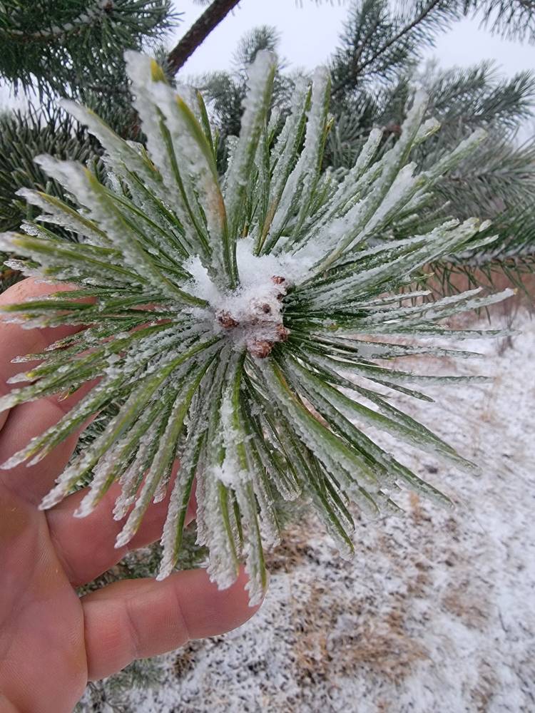
Went up to Max Patch this afternoon. Wasn't a lot of snow really but was beautiful. There was 1/4 inch of snow and the temp up there was 16 degrees. Sent from my SM-G998U using Tapatalk