

RogueWaves
-
Posts
2,256 -
Joined
-
Last visited
Content Type
Profiles
Blogs
Forums
American Weather
Media Demo
Store
Gallery
Posts posted by RogueWaves
-
-
4 hours ago, sbnwx85 said:
Nasty dust storm in Central Illinois south of Springfield has caused a massive pileup on I-55.
holy shit! With all the dust continuing (mixing w/smoke) the scenes are like something out of a day after tomorrow film. Worst travel nightmare right there.
-
On 4/28/2023 at 9:50 AM, Cary67 said:
Looking to plant some stuff by next weekend.
That used to mean WEED
@Jackstraw would be reaching out
-
 1
1
-
 3
3
-
-
Another sh*t spring day but not a UP sh*t spring day. That's tomorrow

-
 1
1
-
-
On 4/25/2023 at 4:33 PM, Chicago Storm said:
data says, learn your climo.
...April 60+/70+/80+ Days & Monthly Average By Year For Detroit...
April Average
60+: 14.3
70+: 5.8
80+: 1.1
Month Average: 48.9April 2023 (Thru 4/24)
60+: 11
70+: 7
80+: 4
Month Average: +3.4April 2022
60+: 9
70+: 4
80+: 1
Month Average: -2.1April 2021
60+: 14
70+: 6
80+: 3
Month Average: +1.7April 2020
60+: 11
70+: 2
80+: 0
Month Average: -2.8April 2019
60+: 13
70+: 4
80+: 0
Month Average: +0.1April 2018
60+: 8
70+: 3
80+: 0
Month Average: -5.9April 2017
60+: 20
70+: 10
80+: 1
Month Average: +5.4April 2016
60+: 11
70+: 4
80+: 1
Month Average: -2.6April 2015
60+: 20
70+: 3
80+: 0
Month Average: +1.1April 2014
60+: 14
70+: 7
80+: 1
Month Average: 0.0April 2013
60+: 11
70+: 4
80+: 1
Month Average: -2.5April 2012
60+: 15
70+: 4
80+: 0
Month Average: +0.5He's off wrt 5th in a row, but only 2017 jumps out as memorably AN in a dozen. So in a way that data set rather backs up his complaint. This may end up 2nd best but after SHSN all week and Freeze Warns in a row, it will be challenging to remember the great week of April.
-
1
-
-
The only upside to this cold spell is that it has stunted the rapid progress of spring at a nice period here in SEMI to extend bloom time which always passes too quickly.
-
1
-
-
19 hours ago, beavis1729 said:
In addition to setting a new seasonal snowfall record, Duluth finished in 2nd place for 1"+ snow cover days. Unless there's an unusual snow event over the next couple of weeks, this season will end with 157 days. The record is 167 days in 1995-96.
And, Duluth finished with 151 consecutive days of 1"+ snow cover (Nov 15th through April 14th). As impressive as this is, it falls quite a bit short of the record 164 days in 1995-96 (Nov 10th through April 21st).
Both of those 1995-96 records will be very difficult to break.

I lived in the Northland then. Was the longest winter ever for me personally and greatest holiday snow depth (40") imby ever. With family up riding sleds at Christmas it was truly the stuff of white dreams. Now, without any of that in play, it would be an absolute nightmare, lol.
-
1
-
-
Bushes and smaller trees getting leafs already today, and we've really only had that one hot day at 77F. Kinda surprised tbh
-
6 hours ago, A-L-E-K said:
It's your moment michigan
Nickels or smaller - don't need my ride dented up
-
3 minutes ago, Lightning said:
I have lived here too long. That doesn't surprise me at all


You remember Palm Sunday of '65? I thought that had an F4 up to E. Lansing area.
-
In S. Haven Sunday pm and noticed an entire front of a home had daffodils in full bloom. Was quite the sight. Meanwhile, not too far north:
And the Yoop keeps getting deeper and deeper. There's always a gradient ofc this time of year, but seems exaggerated this year. Thinking severe season gonna be legit for a change.
-
On 3/24/2023 at 7:55 PM, michsnowfreak said:
I agree that the rating system is kind of silly. But it gives you a feel for how the Winter as a whole was, and its cool to see how the line graph rating the winter changed categories either way as the winter progressed. It rates the entire Cold season. Detroit easily rates as mild and we had 4 winter storms that caused damage. Meanwhile 2017-18 was rated as extreme and we had nothing damaging that year, just a good cold snowy winter.
You can check out buffalo's individual seasons here.
https://mrcc.purdue.edu/AWSSI/chart.html?stn=BUFthr
For detroit the most "mild" winter was 2011-12, just beating out 1952-53 & 1997-98. The most "extreme" winter was 2013-14. That was in it's own time zone, nothing else came remotely close. A far distant second was 1977-78.
The two extremes here and just 2 years apart. Like Christmas '82 vs '83. Just weird how nature likes doing that around this corner of the globe.
-
1
-
-
On 3/22/2023 at 4:44 PM, Powerball said:
As it should be headed into April.
Yeah. Miss north "not stank"
-
1
-
-
On 3/24/2023 at 12:07 AM, michsnowfreak said:
There were incredibly roller coaster winters in those decades.
Very warm winters in the Midwest were
1875-76
1877-78
1879-80
1881-82
1889-90
Interesting. If you add 100 yrs to each, you get a group of some of the colder winters.
-
1
-
 1
1
-
-
On 3/20/2023 at 5:16 PM, Harry said:
The actual total for here is 81.2"!
For March it is at 22.0" I'll check later to see where it ranks.
So the Nina has again delivered for SWMI but with even less staying power than 07-08. Wild how the lake has helped you hit such high totals over there. Across SMI west to east looks like AN->N->BN for seasonal snowfall.
-
20 hours ago, michsnowfreak said:
You're a trip lol. Actually if it's warm I'm fine with it. Only 7 months til the first flakes of '23-24. It's when we get these prolonged spring cold snaps it's hard for a snow weenie to not root snow.
Remembering large piles of fresh white snow contrasted by dark green grass. A very Colorado looking scene on my HS campus in April '82. Large plow piles post green-up is a pretty rare combo for this region.
-
1
-
-
9 hours ago, michsnowfreak said:
Picked up 0.2" of snow today. 15.5" in March, 37.1" season. DTW had 0.1", so 15.8" March and 37.0" season.
It was definitely an interesting day with the in and out squalls in the sky looking ominous as the sun would come out.

Great January day! (smh)
First March afternoon high below freezing. First LES (0.2) since 1/27. Total up to 32.9" for here and that bumps my seasonal LES to an even 4.5" (15.6% of my total). I'm ok if we bust out some warmth tbh. Single digit WC's this time of year suck!
-
1
-
1
-
-
For those tracking:
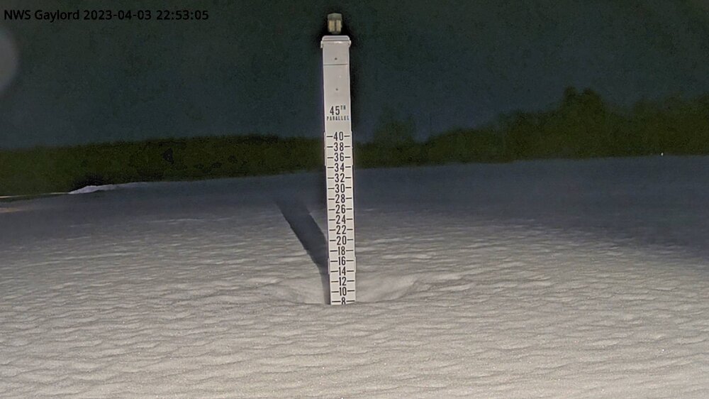
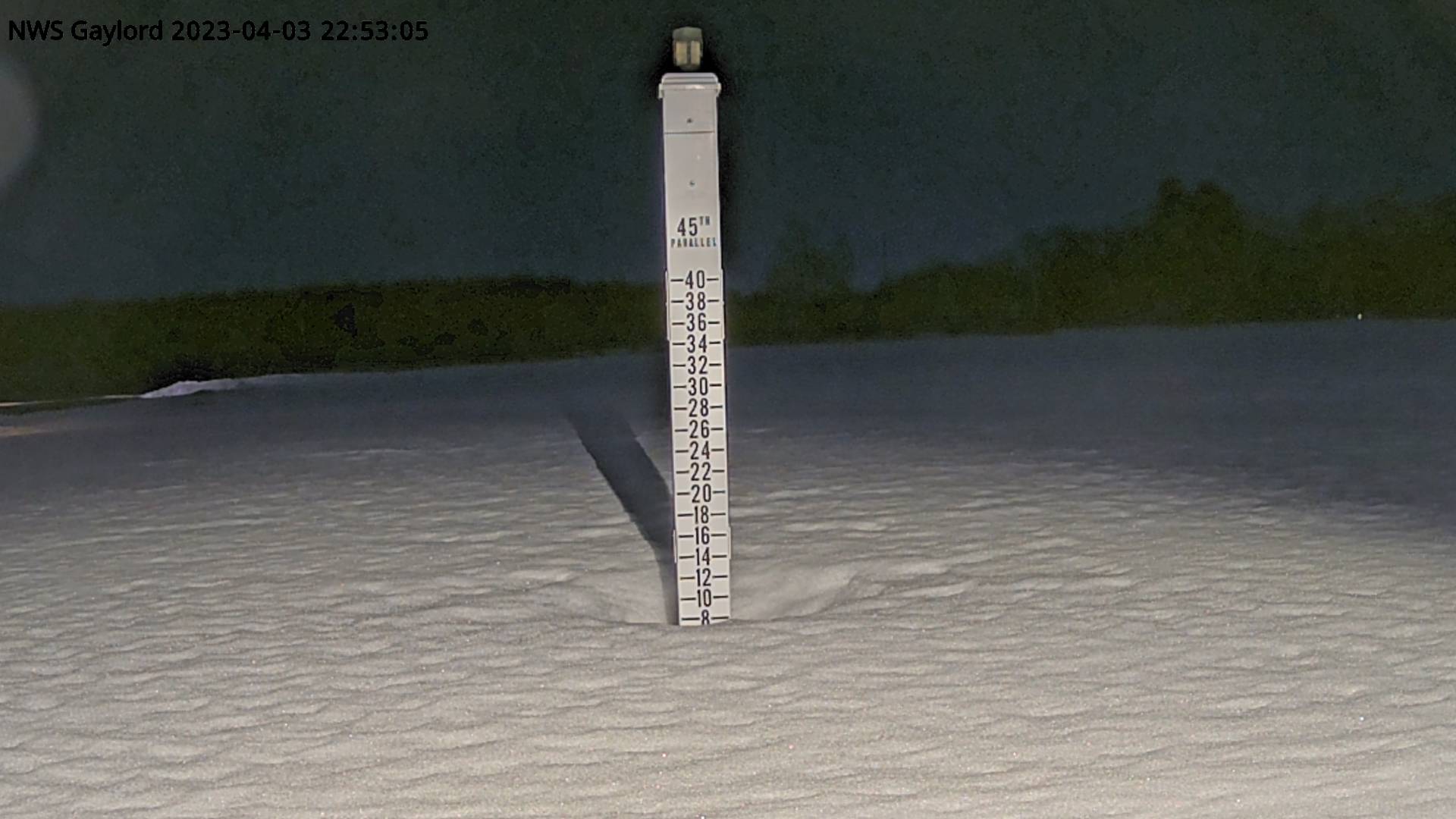
000
NWUS53 KGRR 191116
LSRGRR

PRELIMINARY LOCAL STORM REPORT
NATIONAL WEATHER SERVICE GRAND RAPIDS MI
716 AM EDT SUN MAR 19 2023

..TIME...   ...EVENT...      ...CITY LOCATION...     ...LAT.LON...
..DATE...   ....MAG....      ..COUNTY LOCATION..ST.. ...SOURCE....
            ..REMARKS..

0700 AM     SNOW             EAST GRAND RAPIDS       42.95N 85.61W
03/19/2023  M4.5 INCH        KENT               MI   CO-OP OBSERVER

            APPROXIMATELY A 30 HOUR TOTAL. SNOW
            CONTAINED 0.23 INCHES WATER. SNOW SEASON
            TOTAL NOW 114.1 INCHES.
-
9 hours ago, michsnowfreak said:
I would have gladly made the maps if they would have paid me lol. A truly accurate map would take a lot of Time time because you'd have to analyze individual events each winter and the pns statements that went with them.
These are the sites they report consistent snowfall data:
DTW, FNT, MBS, DTX, ARB. Everything else is relying on coop and cocohras data. While some coop observers are diligent (myself included hehe) others are not. So what you would get is the coop sites that were filled with missing data, or would call a snowfall that had melted or sublimated a trace by their observation time, are going to have much lower totals than other nearby areas. So when you take all those numbers and make a map. You're making all these weird squiggles and circles to try and make it make sense when it doesnt. As stebo said. Nothing is better than somethinh wildly inaccurate data. Coop observer data is often notorious for lowballed snow data, so there's little accuracy to the actual accumulated season total data.
Now they do have an archive for all their event writeups which is great because you can see the haves and have not for individual events.
I get all that and precision suffers ofc. APX finds a way to make it happen. Perhaps they should share their secret with the two SMI offices. I like maps, lol. In your opinion, how far off are they on avg? 6" in a season, or even more in certain regions? And you hint that it is almost always a lower amount of snow. I'd be more concerned if totals were artificially inflated.
-
On 3/15/2023 at 5:25 PM, michsnowfreak said:
Those maps were horrible.They had interns playing around with Co-Op data and the maps were extremely inaccurate. I'm fine with them stopping them.
Better than nothing imho. Unless you have another resource for better maps?
-
9 hours ago, michsnowfreak said:
Today is the first time in two weeks the ground is totally bare. Though plowed piles in parking lots remain. That is a decent stretch for march considering it did not begin with a left over snow pack
The warm RN and 50's took half a month, but finally came along. Nuked "most" of the non-plow piles around here, but surprisingly, north facing slopes (M-14) and shaded places like wooded areas have a 2-3" cover hanging tough. That was some real-deal cement we got 3 headlines ago. Would take a storm like that any chance I could (sans the power outage ofc).
-
2
-
-
9 minutes ago, Chicago Storm said:
dab is <1".
That'd be a double DAB for me, lol
-
1
-
-
2 hours ago, michsnowfreak said:
It was very strange in that it melted in some spots of the grass in the afternoon and not other spots. Wherever old snow was present it did not melt at all. I have bare areas and areas in the shade with 3-5" currently lol.
But the thread title event was for the day before. Dtw also got 0.7 that melted fairly quickly.
"DAB" for me is <1/2". But tbh, @A-L-E-K just uses the term w/o a threshold.
-
1
-
-
1 minute ago, Brian D said:
Just curious, but are we missing a certain someone again?
If referring to @Hoosier yeah. Got banned. All the disco wrt can be seen in the banter thread over the past couple weeks.
-
7 hours ago, Stebo said:
Not here, there is going to be a sharp cutoff and at home it will be a DAB.
Well, thread title was for the weekend and DTW scored a bit more than DAB (depending on your definition ofc) yesterday morning.

Spring 2023 Medium/Long Range Discussion
in Lakes/Ohio Valley
Posted
Which event are you calling the Super Clipper? Nvrmnd, Jan 22 right? Unfortunately I was not in Marshall then and missed it. One of the better storms over here even.