andyhb
-
Posts
20,430 -
Joined
-
Last visited
Content Type
Profiles
Blogs
Forums
American Weather
Media Demo
Store
Gallery
Everything posted by andyhb
-
So the October measurement for the PDO via NCDC was -3.06, which is extremely strong. Last time it was that strong per that calculation was 1955 (precursor to a major drought year on the Plains). Not sure what Mantua's calculation has, but we've clearly transitioned out of the predominantly positive phase that was present since 2013 or so.
-
Nothing about what raindance posted suggested the La Nina is dead.
-

Oct. 23-25 Severe/Heavy Rain (especially Sunday)
andyhb replied to Tim from Springfield (IL)'s topic in Lakes/Ohio Valley
Major tornado damage being reported north of Fredericktown and in St. Mary MO. -
MO maybe into W IL also looks interesting on Sunday, especially closer to the triple point/warm front.
-
That's a nasty looking setup for MO/IA/IL next Tuesday on the 12z GFS, big change from earlier runs.
-
Meanwhile the 12z Euro says nada. Not much of a trough ejection.
-
Already seeing a few checkmarks starting to be ticked off in terms of a fall severe wx potential early next week across recent guidance. Not sure how far north/east it will extend, but it seems there could be a chance for an anomalously large warm sector to exist ahead of whatever ejects eastward from a developing longwave trough in the west. Obviously a lot that could go wrong as with any 8+ day prog, but seeing that moisture available along with a very strong Pacific jet streak making landfall has my eyebrows perked up a bit.
-
Central/Western Medium-Long Range Discussion
andyhb replied to andyhb's topic in Central/Western States
Looking towards the earlier part of next week, I wouldn't be surprised if we see another elevated period of severe potential relative to climatology for the Plains and perhaps eastward. Pattern looks quite conducive to moisture return and potentially quite anomalous moisture return in front of another large scale trough developing in the west on ensemble guidance. -
Also I have quite a bit of concern that Norman is going to take on its second major hailstorm in less than 6 months tomorrow. Soundings near the triple point indicate very large cloud layer shear and plenty of CAPE in the hail growth zone.
-
Regardless of tornado potential, I will be heading to the Wichitas tomorrow to do some hiking in the late morning/early afternoon. That would put me in great position for whatever initiates in the 21-00z window.
-
I still have some very bearish opinions towards Sunday as a whole, mainly from the moisture standpoint. There is not a single model that shows anywhere near the moistening/destabilization that the NAM/NAM 3 km shows, especially pre-00z. Looks to me like most convection should be nocturnal and likely quasi-linear.
-
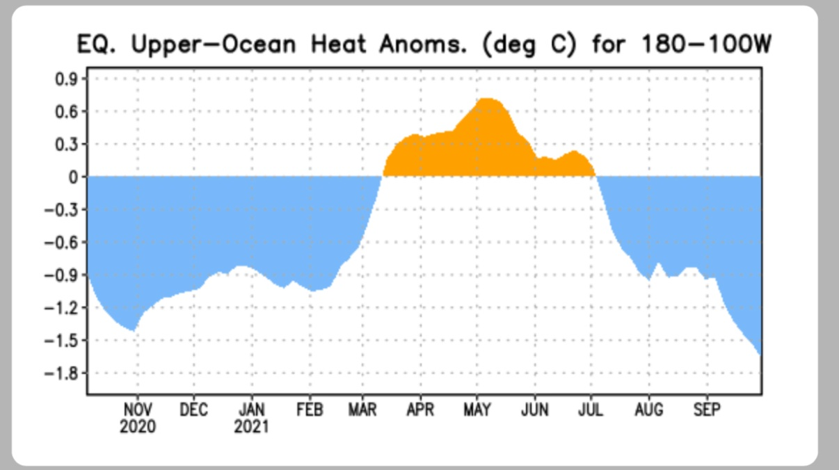
Bottom continues to fall out on the sub-surface readings. This is a pretty stout cooling occurring.

-
That doesn't really say a whole lot about whether there will be storms and of what mode.
-
Holy mother.
-
That's going to be a strong tornado in the northern burbs.
- 487 replies
-
- 1
-

-
- hurricane
- flooding potential
- (and 2 more)
-
I don't like the looks of that supercell near the Chester/Delaware County line.
- 487 replies
-
- 2
-

-
- hurricane
- flooding potential
- (and 2 more)
-
Have seen some damage pictures out of the area that look at least EF2.
-
There's the Edgewater tornado, probably significant given TDS height and peak VROT of 45 kts.
-
70/30 probs on that new watch for E MD/PA/NJ. Pretty stout probabilities for this region.
-
The cell south of Charlottesville has quite a meso on it, but that central VA radar hole is being a giant pain.
-
Have seen some forecast hodographs from this and yeah, things are going to be spinning pretty easily. Outside shot of a sig tor or two given the environment.
-
The eye continues to warm and the pressure continues to fall. It’s not leveling out yet.
-
That phenomenon is called "Cat 4s and 5s are still quite rare".