

GrandmasterB
-
Posts
547 -
Joined
-
Last visited
Content Type
Profiles
Blogs
Forums
American Weather
Media Demo
Store
Gallery
Posts posted by GrandmasterB
-
-
2 minutes ago, paweather said:
Cutters giving us snow.....Interesting but will take it.
State College added in the discussion that the airmass will be dry ahead of the precip which allows that initial slug to fall as snow. Just gotta hope it comes in hot and heavy before the warm air wins out.
-
 3
3
-
-
NWS State College notes that they made significant changes for Wednesday and it reads much more bullish. MAG is the goat!
-
Nice overnight runs. Looks like the trend was just colder overall. I’ll gladly accept my defeat to MAG!
-
1
-
-
3 minutes ago, MAG5035 said:
I do like this storm to target the heart of the CTP region with a decent warm advection snowfall. The other ensemble blends are pretty similar to the Euro’s. Storm is close enough that the Euro’s hourly products (out to 90) can see pretty much the whole event. The hourly was suggestive of a band to 1-2”/hr snowfall to come across C-PA during the late morning/early afternoon Wednesday prior to the mixing/dry slot.
My concern at the moment is for the southern tier LSV. Models like the Euro and NAM (at range) are having the bulk of this WAA snowfall swath roughly turnpike and north there and missing with the best rates at a time when it will easily be cold enough to snow there. Something to watch as this gets more into the short range. I still think everyone in the LSV sees at least 1”+ out of this.
12Z models continuing to trend warmer here in the southeast for Wednesday. I’m going to go against you and say I’m not seeing 1”. I hope I’m wrong and you’re right!!
-
17 minutes ago, Blizzard of 93 said:
Happy hour GFS looks good for both events.
Here is tomorrow into Monday

All of that accum down here is on the backend. Most likely fraudulent but trend is interesting.
-
2
-
-
Yeah, the NAM was noticeable in how much colder it was than 12Z. Also, as others mentioned starting to see some support for the R/S line to crash back to the southeast at some point. Interesting to see if that holds up during the 0Z runs. Feels like we've been tracking this one forever and we still have a full day to go!
-
1
-
-
2 hours ago, Superstorm said:
I think Lanco gets on the board Wednesday.
.Pains me to say it but...I kind of see Wednesday turning into tomorrow's event. Anyone close to that SE edge may see any accumulations march steadily northwest. 12Z Euro already starting that move. Why bet against the seasonal trend at this point?
-
Life on the southeast edge of the snow/no snow cutoff is not a fun one.
-
1
-
-
Just now, canderson said:
So rain and 34 instead of rain and 35?
That’s the something!
-
 1
1
-
-
0Z NAM a tick colder Sunday night. Not a big difference but if you’re a hopeless snow tracker it’s…something?
-
1
-
-
Just now, canderson said:
At this point I am rooting for the major east coast stations to get blanked. Not because I don’t like those users but we need data to show how truly historically shit this is. A dumb 9” late March storm would ruin that.
Yeah I’m torn at this point. We’re just past the halfway point in terms of snow accumulation average. Still a little early to go all in on futility rooting. I would like to see some snow, but if LNS is at 0 by March 1 then let’s go full shutout!
-
2
-
-
My extremely low bar of 1” looking like it won’t happen around my area. Just a crazy poor winter!
-
37 minutes ago, Blizzard of 93 said:
Here is the 18z Euro snow map

First time the 1” line has been to my south and east all winter. That Euro run was acceptable. It’s not a big storm by any stretch but I’d like to at least get on the board!
-
2
-
-
Time for the NAM prediction post 84 hours and my guess is that would be a hit.
-
7 minutes ago, Ruin said:
lol not even gonna get excited over a storm until its less then 24 hours away
Keep us posted!
-
1
-
2
-
-
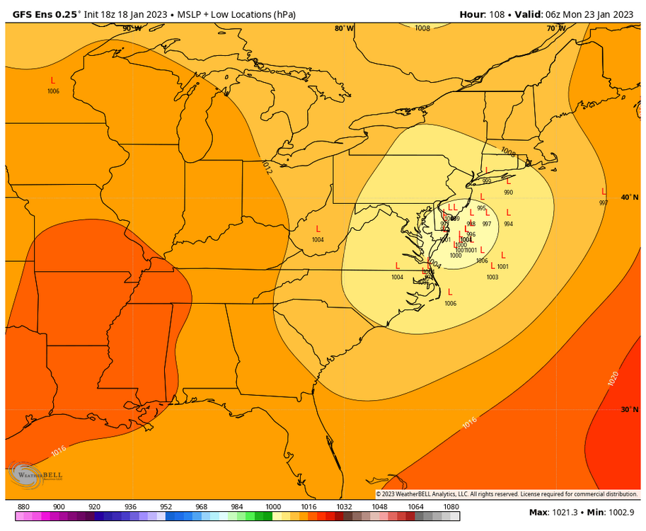
Usually the ensembles are east of the OP (for whatever reason) but there are quite a few lows WELL east of the OP.
-
2
-
-
I’m tossing the GFS simply because I didn’t care for the outcome.
-
1
-
-
6 minutes ago, TheDreamTraveler said:
Well the next week is looking pretty fun. Chances of 2 snowstorms back to back? I actually like those odds. Makes it more likely that at least one of them will happen. We'll still have to see if either will materialize but considering we're within 5 days with one of those storms it definitely has me interested
Yeah, same. Nice to track a tangible threat…well two actually! Hopefully we all cash on one of them.
-
1
-
-
I love to extrapolate the 84hr NAM as much as the next weenie, and the 18Z sure looks good at 84. (Source: am weenie)
-
1
-
-
Low went from right over DC on the 0Z run to just west of Cape May this run. Solidly east.
-
Looks like State College getting it good this run.
-
9 minutes ago, Bubbler86 said:
Surprised there are no 'All Hail King CMC' posts?
12Z Euro looks a lot like the CMC. True central jackpot.
-
2
-
-
46 minutes ago, Itstrainingtime said:
Saw a gorgeous rainbow on my way to work this morning, but had no rain at home nor on my journey to the office.
Same here! I’ve never seen a rainbow so early in the morning. I’m glad I stopped to check it out because it was gone in a few minutes. Really cool to see!
-
2
-
-
Gotta admit that I appreciate reading whatever analysis people post on here. Even if the gist is “sucky for next 2 weeks” or “another pants kick on the over night models”. This is a weather forum and makes me appreciate when times are good and it’s a place to commiserate when they aren’t!
-
7
-


Central PA Winter 2022/2023
in Upstate New York/Pennsylvania
Posted
^or what Bubbler said!!