

weatherwiz
-
Posts
71,434 -
Joined
-
Last visited
Content Type
Profiles
Blogs
Forums
American Weather
Media Demo
Store
Gallery
Posts posted by weatherwiz
-
-
Had a nice lightning show driving from Newtown to Fairfield
-
6 minutes ago, OceanStWx said:
Might actually get gusty here.
no hail reports so far

-
40 minutes ago, RUNNAWAYICEBERG said:
No need to chase out of state when TORs touchdown in our backyards.
true

-
Pretty nice cell in south-central ME
-
2 minutes ago, OceanStWx said:
Golf balls may be tough. Going to need about 50 dBZ to 40 kft.
ehhh yeah that could be a bit tough to do...even if so I would think melting would be a bit of an issue. Maybe we can reach for 1.25''
-
-
I bet there are a few really nice supercells way up in ME today. Wouldn't even be surprised to see something producing near golf ball hail today (even though some ingredients are lacking). Unfortunately it will probably be in the boonies. Hopefully the deer, elk, and moose got their training this year
-
I hope we get one or two more giant severe weather events before summer ends..and classes start. I haven't even chased out of state this year (barely even chased in state) for the first time since 2007. Usually end up going to NY, PA, MA, VT, or NH. Very disappointing. We need a labor day 98 repeat
-
 1
1
-
-
Sunday could be a little fun depending on where the boundary sets up. Wind fields suck and mid-level lapse rates aren't terrible.
-
1 minute ago, OceanStWx said:
ohhh perfect!!! I had found some papers but this one is exactly what I'm looking for. Thanks!!
-
Do you happen to know what the equation/the methodology (or where to find it) behind the calculation of the 12hr/24hr severe weather probabilities from the SPC SREF?
-
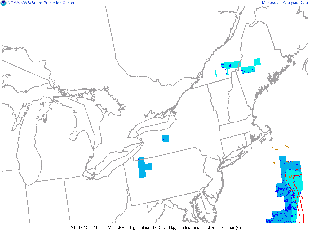
that's gotta be some of the lowest 0-6km shear I've ever seen lol
-
22 minutes ago, Typhoon Tip said:
what are the soundings like ?
just the physical observation (satellite) and sfc obs together give the appearance of CAP/CIN'ed shut tighter than a bull's as at fly time no matter how much CAPE there is...
but, maybe we just need an exceedingly high convective threshold ?
Here is a point-and click from western CT from the 12z NAM NEST:

Here is from one central-ish ME

-
Not as impressed down this way anymore. I think we'll see some storms but a bit of dry air above 850 and just meh wind fields. Ample CAPE though and some inverted-v looks...maybe we can muster up a few stronger storms. we'll see.
Tomorrow night NAM NEST has a decent line move through here though
-
30 minutes ago, OceanStWx said:
Also kudos to the HRRR for nailing the bow echo that blew through The County this morning.
good call on the shear too for up your way...30-40 knots of bulk shear and 0-6km shear. Looks good up your way for some nasty stuff. May even have to watch any discrete storms too.
-
The 18z NAM NEST sounding for Waterbury at 8:00 isn't bad looking. Just over 1700 Cape with 32 m/s of shear
-
Nice sounding from western CT from 18z NAM Nest. too bad shear is meh...not a huge fan of that tiny isothermal-ish layer either...though wondering if that is true...makes the llvl lapse rates weaker a bit

-
What algorithm does bufkit use for it's precipitation generation? I was looking at IXD (Olathe, KS) and NAM bufkit was showing heavy rain like 10:00 PM and completely saturated profile. Looks to me like the best chance for anything was during the morning and then the front moves through and didn't see much for lift overnight. NWS though did have 10% chance for overnight but bufkit was going aggressive. MOS too did have some decent probs I guess. I haven't really used MOS heavily enough to know how good it is with those precip/thunder outputs.
-
2 minutes ago, CT Rain said:
The 12km NAM has somewhat better low level shear which was interesting but it seems like it's on its own with a funky looking 850hpa jet.
that model seems to want to overdo the LLJ at times...or quite a few times. Also sometimes it seems like it goes a bit more aggressive with 700-500 lapse rates
-
9 minutes ago, CT Rain said:
I'm pretty meh for tomorrow around here. Looks pretty blah with very weak wind fields. Looks a lot better for Ekster and Legro.
I'm thinking the extreme western part of the state may be able to get in on some action although hi-res stuff weakens things rather quickly. I'll be in Danbury tomorrow so hopefully something happens. Seems like they have had about 20 thunderstorms this summer.
-
9 minutes ago, OceanStWx said:
I mean they talk about convective debris, but models are pretty meh on convection late today/tonight. HRRR simulated satellite is nearly clear tomorrow morning.
Even if we had some convective debris I would assume it's high level clouds...which at meant at worst means most areas shave a few degrees off their highs. With dewpoints into the lower 70's that won't mean all that much. Models still spitting out about 1500 MLCape. SPC SREF even showing 90=% probs for MLCape to exceed 30% and even some 30% probs for exceeding 2000
-
10 minutes ago, OceanStWx said:
Tomorrow is interesting.
Got the surface environment for higher CAPE. Have the forcing in the approaching shortwave.
Shear is a little meh, but models can sometimes underplay that especially in the northern areas.
CAMs have a well developed squall line, but debatable on whether updrafts are quite organized enough for severe weather (there are some helicity swaths in there).
SPC seems indifferent. I am feeling like I'll be issuing a few warnings though.
yeah I think the SPC is downplaying tomorrow. They seem to think there are uncertainties with the degree of destabilization but I think we'll have plenty of instability. Low-level lapse rates too not very far from super-adiabatic which should help with wind gusts despite the shear...shear looked a bit better a few days ago I thought. Nice inverted-v look too on soundings
-
10 minutes ago, OceanStWx said:
I mean you can drag the mouse to produce cross sections on Tropical Tidbits now. That's pretty slick for a free site. And a handful do point and click forecast soundings too, which is something that used to be a big leg up for AWIPS.
Tropical Tidbits has really become a great site...especially for those cross sections. Coolwx is awesome too...especially for checking SGZ layer and omega within the zone. I still really love cod...excellent website and they're point-and-click soundings are top of the line. I wish tidbits had half the parameters that cod has but they have a few cool parameters too that cod doesn't have...like MLCAPE and wind crossovers.
-
1
-
-
13 minutes ago, OceanStWx said:
I don't know the exact cost, but we paid a pretty good sized contract to Raytheon for it.
The closest thing I've seen online is SimuAWIPS, but that may have changed names now. That's also fee based.
But honestly you can get most everything you could want from free sites plus GR2 and 3.
yeah SimuAwips is not free anymore. I actually visited it last week for the first time in many years. I was going to try and see if our school could get it (not that I would be there to use it probably) but if its cost base its not happening. My works to get the school to get Max Software from the Weather company went unsuccessful...even though everyone I talked to wanted it..of course the answer was "there is no money".
I really love the stuff you can do with AWIPS...there are free sites where you can do similar stuff? If not, I would look into a subscription.
General Severe Weather Discussion 2018
in New England
Posted
I’ve beeb trying to get that book for years but the $$$$ is crazy