

weatherwiz
-
Posts
81,084 -
Joined
-
Last visited
Content Type
Profiles
Blogs
Forums
American Weather
Media Demo
Store
Gallery
Everything posted by weatherwiz
-
Certainly can't rule that out this early in the season
-
I agree with that, however, I think what we'd have to watch for is cloud cover from upstream precipitation/convection...though perhaps shear vectors favor us avoiding this mess.
-
Wednesday could be socked in with clouds, though could be some potential to get some breaks in
-
What a beautiful blue sky today. Have seen several high planes/jet contrails traversing the skies today.
-
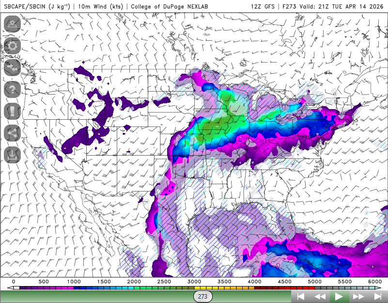
Not a heck of alot of lift around but maybe a chance for a few strong storms Tuesday north and west...been a pretty decent signal for a few days. maybe some sort of weak pre-frontal trough around?
-
this sums up todays thread
-
Pretty gusty with this squall. Seems to be mostly rain but with some graupel mixed in
-
Potential is definitely there for that to happen.
-
Probably can't rule out some snow showers just behind the front but the front is looking pretty weak and not much in the way of colder air with that. This may very well be the final snow for just about everyone except up north.
-
Next week is going to be quite mild out ahead of the front
-
You must live in the greatest climo spot in the region Somehow always able to pull off accumulating snow. Like its mostly sunny here right now and you're ripping snow. There could be like 3 separate snow showers moving through the region, two of them happen to get you and somehow drop 1.5". You also always seem to get crushed with thunderstorms. the weather gods certainly love that area
-
I think a strong EL Nino has some pretty high odds, you have some anomalously warm subsurface sea temperatures in the equatorial PAC and have already significantly weakened the easterlies with some impressive WWBs as of late. We shall see what happens though over the next 6-8 weeks but if the ongoing trends continue through these next 6-8 weeks I think we are definitely headed towards a strong EL Nino.
-
Well that was fun while it lasted. Saw something out of the corner of my eye and looked and it was snow lol. Just enough for a little bit to stick to the grass, not much though. Down to a very light flurry now
-
Snowing pretty good out.
-
That might be a tough ask. Ski areas up north though I could wee getting 2-4...maybe 5".
-
certainly could see some coatings on grassy/colder surfaces
-
Could see some squalls or heavier snow showers moving through right in time for AM rush hour tomorrow
-
Wind is cranking
-
Well spider season is here. Had one of those stupid brownish yellow ones that move really fast crawling on the coffee maker when I was making coffee and there is one of the same type on my office room wall and its a bit too high up for me to get with the device to put it outside. Must be a nest
-
This is more like it. What a difference a few hours can make
-
Seeing some patches of blue now
-
Let's get dirty
-
Even if we get some breaks of sun I don't think we are going to see any sufficient mixing. Forecast soundings (both NAM/GFS) are overly enthused with mixing potential. Obviously if we are able to break and mix (maybe happens locally) temperatures will jump quickly.
-
Precisely, there is a delicate balance and that needs to be understood.
-
These next 10-15 years will be critical in the CC aspect and exactly how much of an influence CC has had. So much has been talked about regarding the lack of Arctic ice cover, the abundance of active Atlantic hurricane seasons and increasing number of storms undergoing RI, the western/mid-western droughts and excessive heat waves...all of these are also a result of the PDO/AMO state we have been in. So the question is, did CC just further exacerbate the intensities? But what happens once we get the PDO/AMO to flip? If we're continuing to see these recent trends continue with a flipped ATL/PAC that could speak volumes. Even though we are barely into spring, it is definitely encouraging looking at some of the very early analogs for the upcoming winter. Would much rather be seeing looks similar to the 1957-1958, 1969-1969, 2002-2003 versus something along the like of a say 1997-1998 or 2015-2016. Obviously those were in the super category but the point is...the very early signs at least yield some encouragement TBH, if any of the early signs pointed to one of those years I'd probably just not even bother doing any digging for the upcoming winter lol


