weatherwiz
-
Posts
79,820 -
Joined
-
Last visited
Content Type
Profiles
Blogs
Forums
American Weather
Media Demo
Store
Gallery
Everything posted by weatherwiz
-
65+
-
No
-
Most humid summer on record?
-
I am itching to start a thread for strong thunderstorm potential later next week. Someone pinch me
-
Today blows. Was just thinking to myself...it looks like 7:00 AM out there.
-
Can we pop an early EML event?

-
I don't think the GFS is that terrible
-
Some lightning strikes northwest of Pittsfield!
-
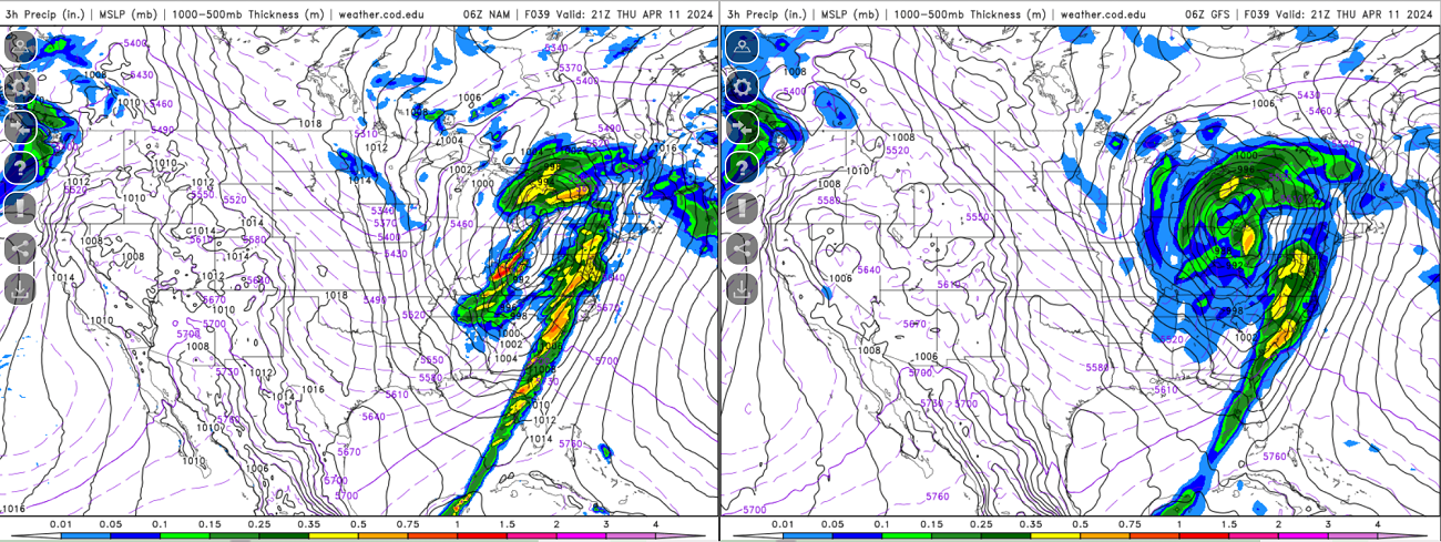
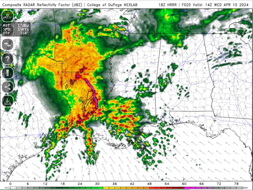
Nice model difference tomorrow within the Ohio Valley/Great Lakes region Some pretty drastic differences at H5 across the country tomorrow.

-
In another 5 days the 384 HR GFS will be into May!
-
Thinking wind damage may be the greatest overall threat. Greatest tornado threat probably on the southern flank but it may turn out the southern flank is right along the coast or just off. We'll see how far north the warm front/greatest moisture return can get which should influence northern periphery of the bow/mcs
-
Hopefully we can get something like this in the next few months
-
how about this instead
-
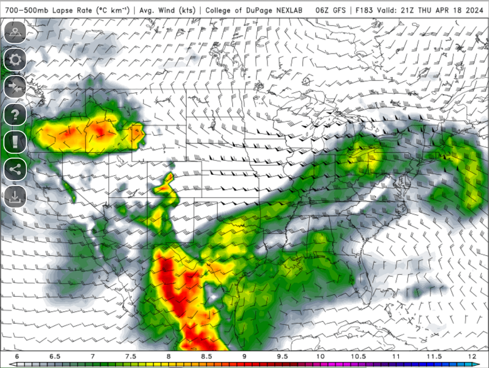
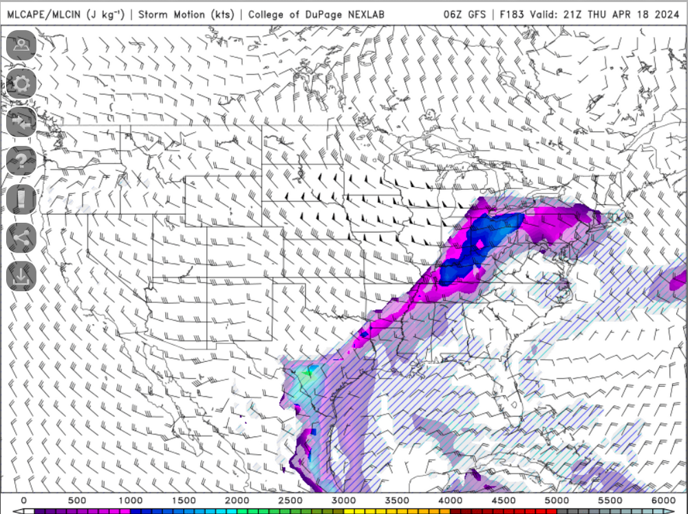
I know its like 3 or 4 weeks too early but I can't help but toggle through the CAPE maps through 384 hours. Its depressing seeing some big CAPE values within the Ohio Valley and sneak into portions of Pennsylvania and then just get poo pooed away but our time is coming.
-
Are you sticking around Dallas for the severe wx?
-
I actually may need to make some hot chocolate now. I was only wearing a short-sleeved shirt and a very light jacket. I'm cold now.
-
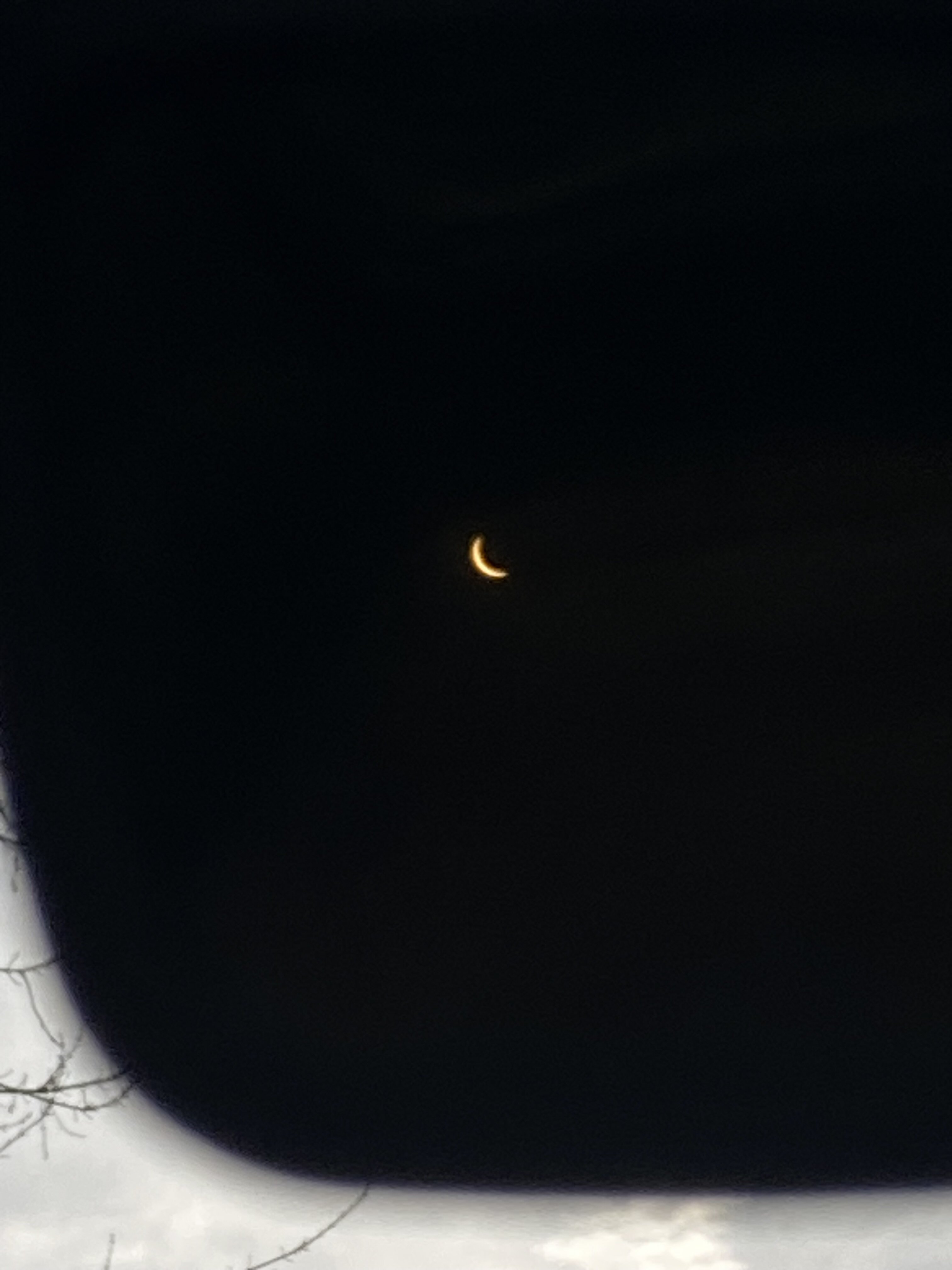
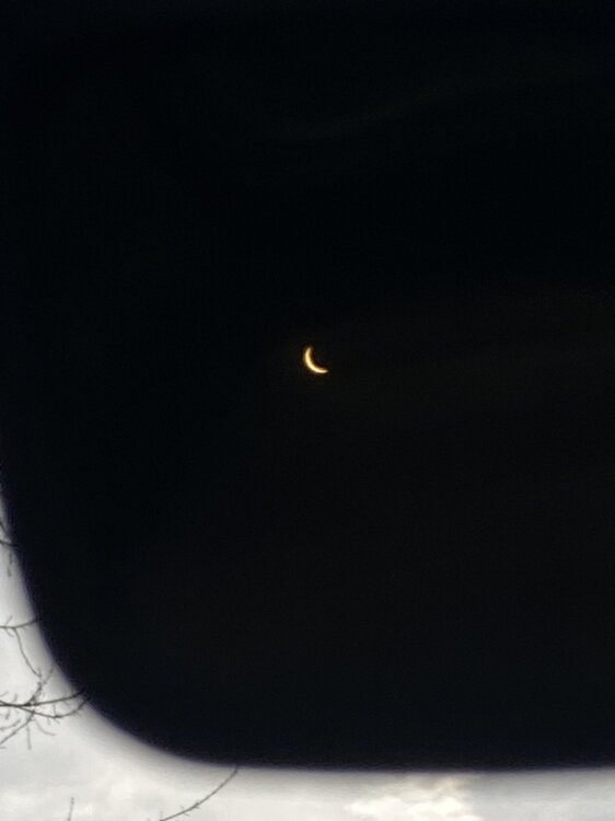
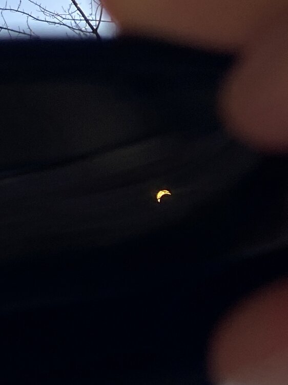
Taken at 3:30 PM EDT from Springfield
-
Had to lay in my back to be able to make this work
-
All this satellite watching and hoping for full Sun has me geared up for severe wx season.
-
Just went outside with glasses and can see it!
-
Thankfully not the same folks that are in charge of rebuilding the Mets
-
Agreed, only source that matters is USGS.
-
The magnitude estimates are all over the palce right now...
-
I didn't feel anything in Springfield but my I just told my girlfriend about it and she felt something. I was in the zone working though.
-
 Isn't the Hurrell NAO method a bit better overall than the CPC's method?