weatherwiz
-
Posts
81,160 -
Joined
-
Last visited
Content Type
Profiles
Blogs
Forums
American Weather
Media Demo
Store
Gallery
Everything posted by weatherwiz
-
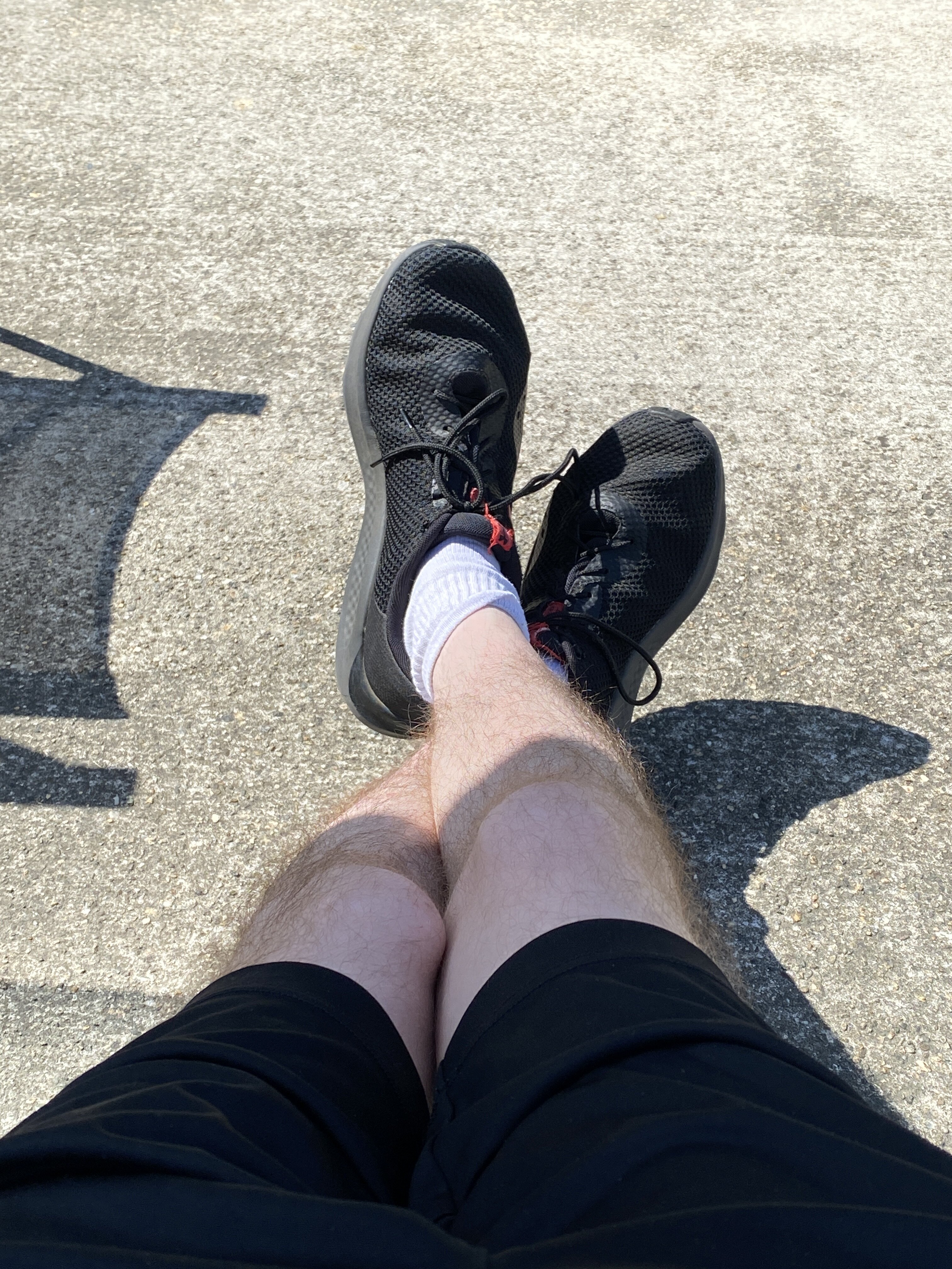
Here’s your shorts @CoastalWx
-
We have our marginal for Monday!!!
-
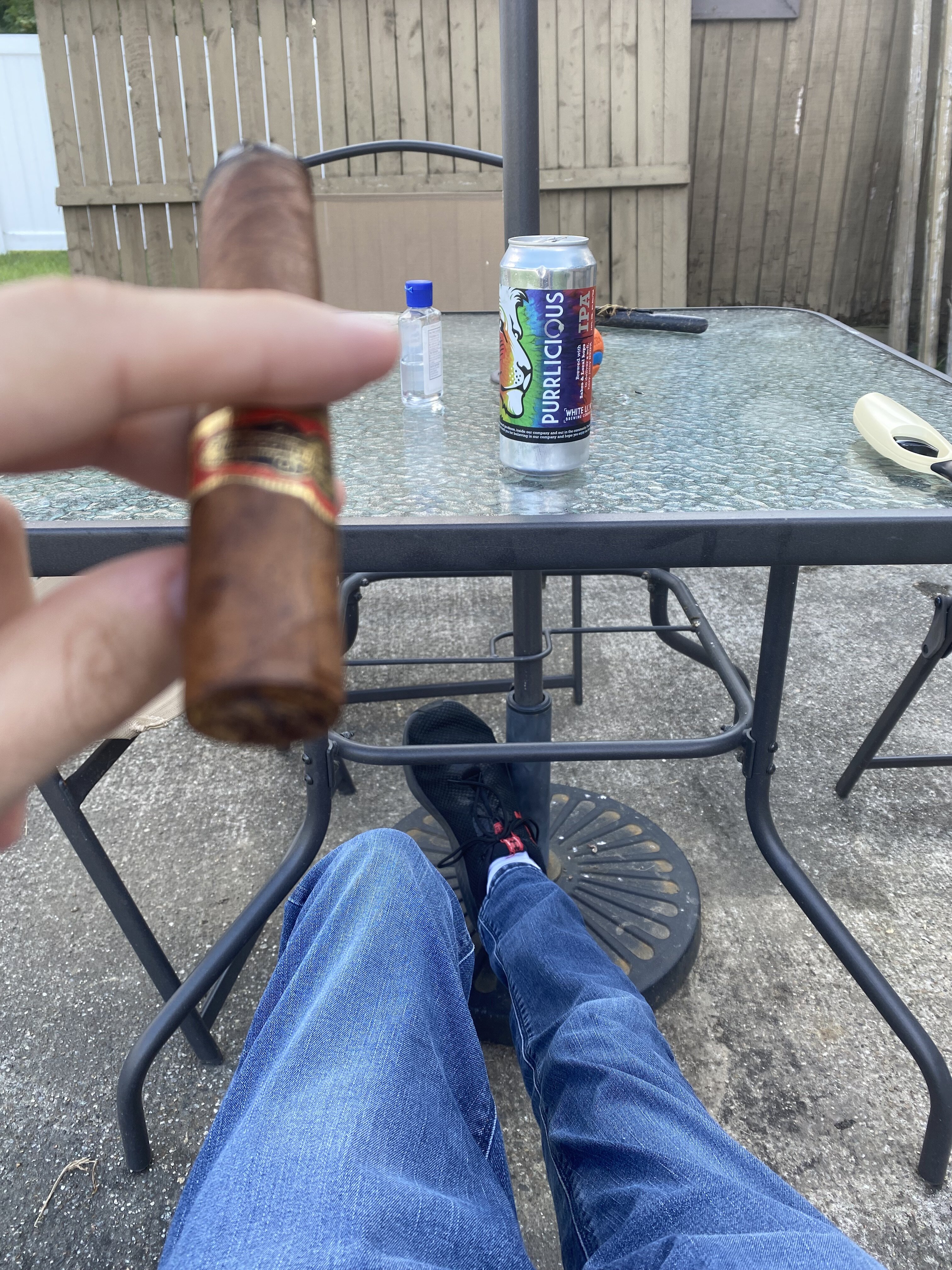
it’s hand sanitizer. The dogs recovery is super slow so we still have to help pee him so I wore gloves then put hand sanitizer on after instead of running inside to wash my hands and leave the dog outside because then he tries to jump up on the step towards the house but can’t make it.
-
Not a bad beer. I bought a 4 pack like a month ago and this is the final one. Don’t really drink much these days but when I do I’ve really grown on the High Noon’s. When the Bruins start up I’ll be switching to high noon for games. Past few years I would have a voodoo ranger for games (either the imperial or juice force) but both those are 9.5%. Can’t really do those high content beers anymore. High Noon is perfect.
-
I only wear shorts if it’s above 90 and dews are above 70. Unless I am going to be doing activity outside then I’ll wear shorts. But even now with the sun going behind the trees it’s getting a cool feel
-
Probably back to Canada
-
It is pretty stellar out

-
It's like those models don't exist in the summer
-
pretty soon we'll be getting posts from metfan at 3:48 PM while he's on his break posting a 384 JMA map that shows some blue on the ptype maps and get all aroused thinking there is a chance for snow. Or him coming in at 4:05 to tell us the EPS looks good even though we've been discussing it for 2 hours
-
I'm not sure Not even sure why I said CMC there since it was the CFS that was posted.
-
I also want to be clear that wasn't a jab towards the OP, but moreso a jab at the good ole Twitter (or X but I will never call it X). But I always find it funny as we move through the fall and winter all of a sudden everyone is posting all these different models as if they're searching around for whatever model shows a snow threat or cold shot and then doing what they can to hype it up and create potential just because its something a model shows.
-
why does the cmc only come out when it shows cold or snow?
-
This is certainly possible.
-
have to remember to give this a read today
-
Either the second half of September/October are going to be historic or at least when it comes to the number of named storms, this will be a big dud. But, given what we've seen develop, especially with Beryl, I guess it shows what kind of potential was in place.
-
Supercells, typically strong/more mature supercells tend to move to the right of the mean wind, however, its highly dependent on the wind profile. If you have good veering of winds with height you're more likely to get right movers. It can be difficult to get classic looking right movers because of the challenges to get that perfect wind profile. I don't believe the wind profile that day probably favored right moving supercells.
-
ohhhhh yeah

-
The supercell which spawned that tornado came down from Albany too! About as classic of a right mover as you'll ever see. That's some wild storm motion
-
Monday could be a fun day actually. Shear is pretty poor and it's not the most impressive of cold pools, however, GFS has ~-14C 500mb temperatures with 6.5-7 C/KM lapse rates atop of dewpoints well into the 60's. That's pretty good moisture for those values. The weak shear will limit organization and prevent good updraft/downdraft separation but could be a few decent hail producers.
-
IIRC correctly, we saw a similar pattern earlier in the summer and it turned out to be quite above-average for that week. Even if we have a bit of an onshore flow, the flow doesn't seem particularly much to greatly impact temperatures (except for maybe right along the immediate coast). I would just like to look at some of the soundings for fun but I would be willing to bet guidance is cool because they are struggling to mix. But the Sun angle is still plenty strong enough to where we will not need much heating of the sfc or boundary layer to mix sufficiently.
-
Gotcha, I know from a few of the papers I've read, it sounds like there will likely be updated methodologies behind the definition over time. When I'm doing stuff with ENSO I am using Eric Webb's ENS-ONI, ONI, and now incorporating the RONI. I'm defining events based on the definitions of each method and doing a comparison. In terms of the RONI. However, I am not sure if I want to create a list of ENSO events using the traditional ONI method or using the RONI as a means to gauge the strength of an event. I am leaning towards a blend of these two as the studies have shown that the traditional ONI has missed a few La Nina events (or downplayed the strength) and the traditional ONI has also overstated the strength of some EL Nino events.
-
There is one thing I can't find, however, I am assuming this is the case. Does the RONI still use a similar definition of +/- 0.5C for 5 consecutive trimonthly periods to classify an event?
-
yeah there are some hints for something quick to spin up
-
Next week will be humid regardless, however, there is definite concern with temperatures and whether we're looking at 70's or something more well into the 80's. However, it is looking pretty warm in the llvls so it won't take much heating/mixing for temperatures to jump into the 80's. Next week will probably be a product of cloud cover greatly influencing temperatures.
-
Just about everytime there is potential to build in big heat here it gets shunted away. It's been a big theme these last several years. Obviously there have been some occasions we've been able to do it. But this has me thinking about winters. We've clearly been in a major rut with winter and it seems no matter the ENSO phase or what, we keep getting the same crap patterns. Obviously this will change at some point, but I wonder if we'll need to see changes with how patterns evolve during the second half of summer first (and when that happens that will be a precursor for better winters). The entire global circulation needs a major shakeup. Something has to happen somewhere to get the bowling ball rolling. I know there is a ton of research coming out on this (which I haven't dug into much yet) but you really have to wonder exactly how much of an influence the increased wildfire smoke/recent volcanic eruptions are factoring into this. During the transition seasons, there are major chemical processes which undergo in the upper atmosphere with ozone and this is when the stratospheric polar vortex begins to take shape. But if you're throwing all this smoke and particulates into the upper atmosphere, this has to elicit/change chemical reactions which are occurring and it must impact pressure circulations.