weatherwiz
-
Posts
81,150 -
Joined
-
Last visited
Content Type
Profiles
Blogs
Forums
American Weather
Media Demo
Store
Gallery
Everything posted by weatherwiz
-
Saturday will also be a southwest wind...better than those northwest winds. But with how warm llvl temps are away from the cost could easily spike well into the 70's with enough sun.
-
Getting some good work done outside! Went and grabbed a high noon.
-
Not sure what it’s like elsewhere but deposits the recent rains (and snow) the ground is very dry here.
-
True...we are definitely trending better for Saturday at least. Sunday we probably get saved from downsloping but its probably going to be on the breezy side. But Saturday has potential to overperform in a big way with temps.
-
Same here...I was just outside with the dog and thinking how great it would be to get a few dry weeks with sun and temps pushing into the 70's. Today is fantastic but its going to make tomorrow and especially Wednesday feel even worse lol. Wednesday is going to feel miserable with that WNW/NW wind gusting.
-
We know how this will go. We may get like a week of Spring but we'll probably jump right into upper 70's and 80's and start increasing the dewpoints.
-
yeah should be some thunder around with those steep lapse rates and weak instability
-
Ski areas up north (Vermont) may get another several-plus inches of snow between tomorrow night and Wednesday.
-
I believe the 384th hour on the 0z GFS tomorrow will end at 0z of May 1st
-
It actually isn’t bad out today…and that’s comparatively speaking. If being able to call today “not bad”…that shows how awful it’s been. I understand though it’s a different tune farther east.
-
That actually would be worth it
-
A day line today has to be the floor for shittiest April days. I mean it can’t get any worse than today, can it?
-
I was thinking 2018 but I forgot about the 2021 April event...that may have actually been a bit later on the calendar in 2018. But I remember in 2018 we had multiple accumulating snow events and I think manty even had snow showers as late as April 21?
-
We just did
-
The last time all of us got accumulating snow this late in the season we had a major severe outbreak weeks later
-
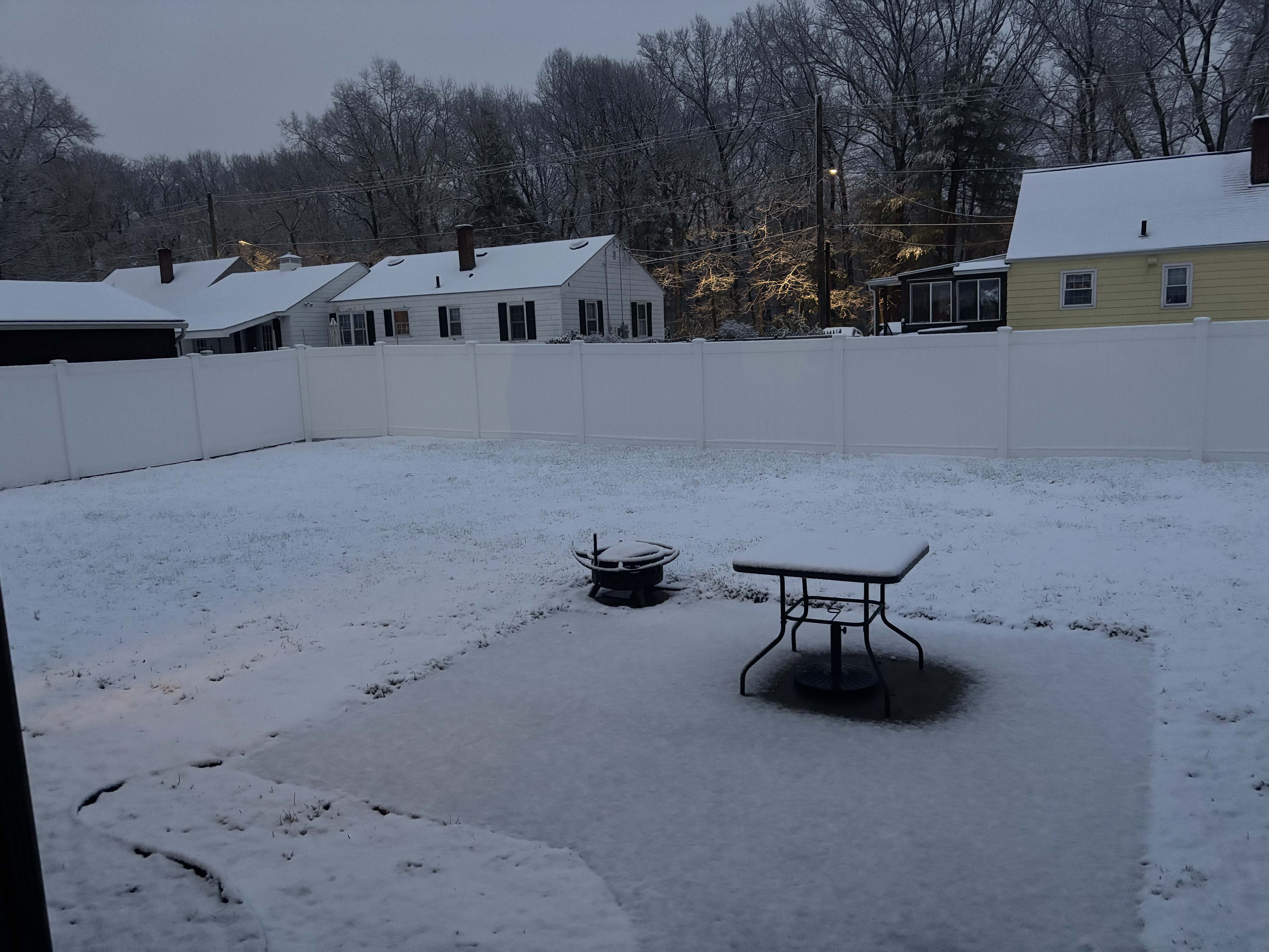
Woke up to this around 6 or so. Was snowing moderately too.

-
That is an ugly evolution on both the GFS/Euro within the Great Lakes region mid-week. I hope to hell the GFS is wrong but that would advertise several-plus days of having a closed upper-level low parked overhead which becomes cut-off. Is this unlikely...probably but it's not something we haven't seen before in the spring. If anything though, there seems to be an increasing signal for troughing in the West so if we can avoid any cutoff or closed off crap we would more than likely be on the warmer side.
-
Had some white residue on the lawn when I woke up so it definitely snowed here. All but gone now. Still some snow though on roofs.
-
Next Tuesday (particularly second half of the day) and Wednesday is going to blow. Strong CAA through the day Tuesday and windy. Wednesday will suck much worse than Tuesday though...who knows, maybe Tuesday isn't terrible temperature wise.
-
That is entirely possible, absolutely can't be ruled out. Guidance really is all over the place with the pieces and exactly how this evolves.
-
At least there seems to be some shed of light at the end of the tunnel. If it isn't light at least we have climo in our favor.
-
I haven't paid much attention to this but I wonder if the recent SSW event (did it actually occur?) played a big role here. I know it's not too uncommon to get one final major SSW event between like late February and mid-March so maybe the years where that occurs and it does so to enhance block potential in our hemispheric domain...if that is what leads to these tendencies? But its wild how common this is or can be during April...almost like a delayed response to whatever is going on during the month of March.
-
Why couldn't we get this evolution 2 months ago ughhhhh. oh well hopefully its on to EML tracking soon
-
Agreed. Tomorrow night or Saturday morning could drop a few inches in spots, even in the lower elevations...with the exception of Connecticut (any accumulation or even snow will be the hills). But I think I could even sneak out an inch of snow early Saturday.
-
This could be pretty intriguing, especially considering a pretty decent dynamic cooling signal. GFS is more robust but this is something to watch. The southern Greens though continue to look like they are going to get smoked, especially with the upslope.