weatherwiz
-
Posts
81,150 -
Joined
-
Last visited
Content Type
Profiles
Blogs
Forums
American Weather
Media Demo
Store
Gallery
Everything posted by weatherwiz
-
Wind sucks today ughh.
-
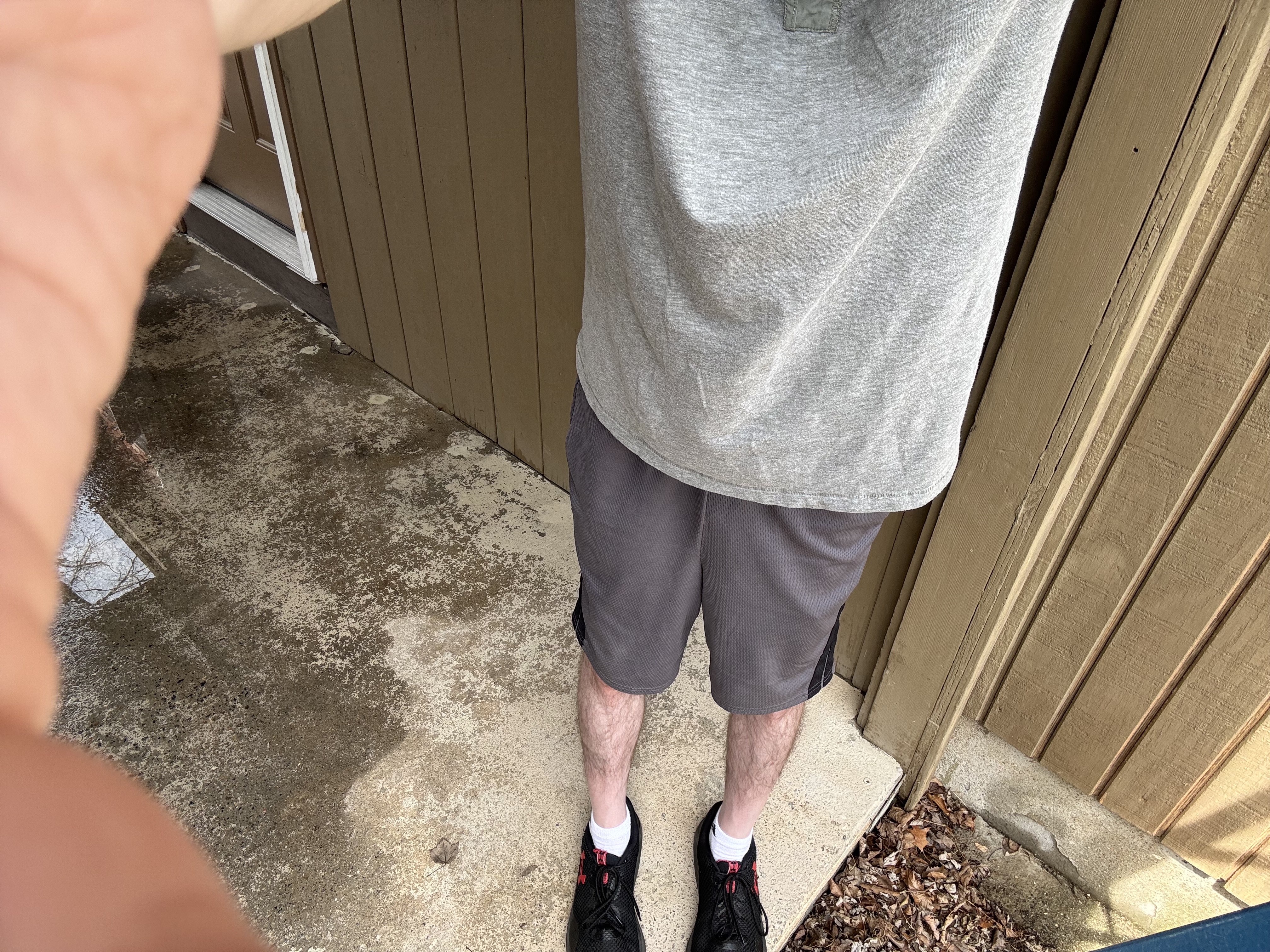
And I did go into shorts

-
Today feels like a severe day. Let’s rip a few strong storms after sunset
-
What a call by Scott. Clouds eroding quickly, milky blue skies now. Temps soaring
-
About to clean the gutters though, hope lightning doesn’t develop inside these showers
-
Sun coming out, clothes coming off. I can feel the vitamin D being produced already
-
Don’t even need a jacket outside. Even with the clouds here.
-
Next week should see an explosion of buds
-
Going to be a great day going into Hartford for the Wolf Pack home/season finale. What a difference a week makes, last Friday was miserable in Hartford...brutally cold and windy with rain. This week you could walk naked.
-
This is what we like to see

-
It's coming...we're almost there
-
Unbuttoned is best
-
I'll definitely wear jeans but probably a short-sleeve shirt. Don't think I will need my light jacket though, especially since I'll be doing work.
-
Saturday would have been a perfect day to sit outside naked watching Bruins playoff hockey So I'll just compromise and clean the gutters.
-

New England Winter 2024-25 Bantering, Whining, and Sobbing Thread
weatherwiz replied to klw's topic in New England
Off the charts in the Arctic
-
There will be breaks of sun Sunday. Only thing that sucks is we'll be getting CAA but with any sun and decent mixing temperatures will be quite pleasant.
-
Well outside of any backdoor potential, stalled fronts, or some mesoscale phenomena, looks like we're turning the corner and will be entering much warmer times.
-
Got gusty here along the leading edge. Really surprised it is not raining though...been under heavy echos for a bit and nothing falling. This happened a few times last year too...odd.
-
5/15/18 was a beast of an event, granted it was pretty much Connecticut into northwest Rhode Island for SNE impact but that was a serious wind event from PA through NW RI.
-
True, but mainly because that is on a much smaller-scale than winter weather. Even on high risk days in the Plains...there are probably plenty of locations within the risk that probably don't even see a drop of rain.
-
eh...same thing happens going into winter season
-
Let's get an EML train going

-
Some trees uprooted too!
-
That one cell had prompted some earlier warnings near Elmira.
-
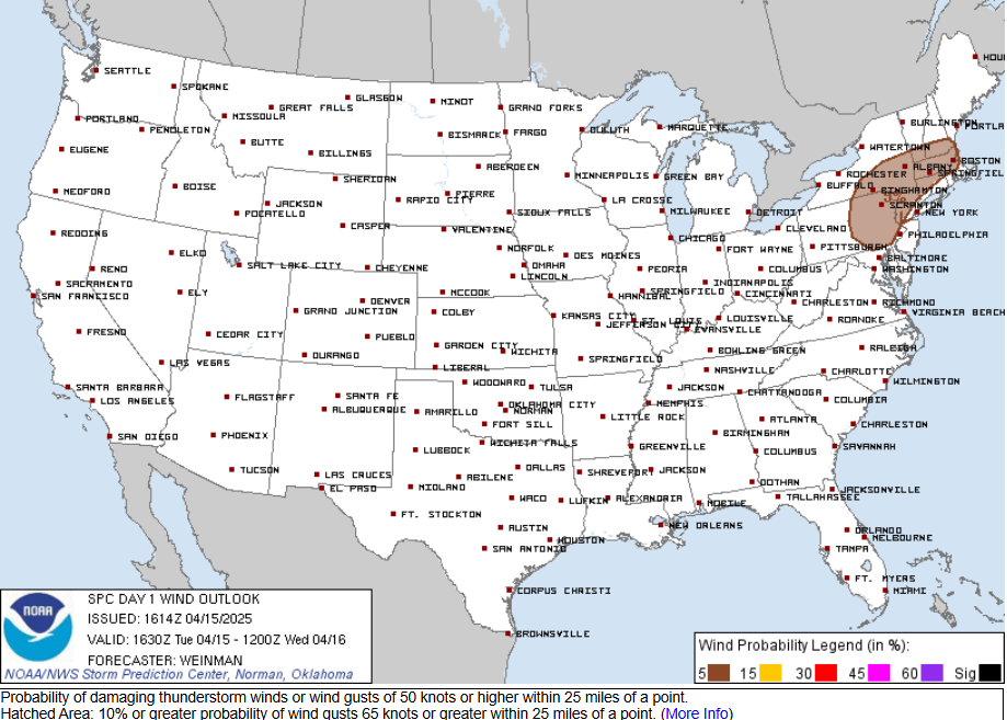
Marginal risk expanded!!! Maybe I'll lose power and won't have to watch the Bruins tonight