CT Rain
-
Posts
26,253 -
Joined
-
Last visited
Content Type
Profiles
Blogs
Forums
American Weather
Media Demo
Store
Gallery
Everything posted by CT Rain
-
Yeah that's glaze but it does transition to pingers a few hours later.
-
That seems way overdone to me based on the soundings.
-
GFS is a ton of sleet down this way.
-
Yup
-
It's the Euro
-
3km NAM did seem a bit colder/farther south than its 12km counterpart.
-
Yeah - pretty good surge of warmth to the Pike.
-
That's a torch.
-
Great to see the Euro jump south. For a higher end event like the GFS I noticed that the GFS winds up with a stronger band of convergence/warm advection at 850mb that lingers for quite some time. Just north of that you get quite a snow dump. The Euro is far more transient with that best zone of lift so you wind up with less forcing and more subdued precip totals. I imagine a combo of a stronger southern stream and a bit more confluence to the north could get it done.
.png.75e63640e5457bf3d476488a27117fb3.png)
-
I would like to see at least some support on the Euro here.
-
Even for N CT the GFS is a lot of snow. Just kiss 0c around 800mb for most of the storm.
-
Enjoy the pingers on the Pike. Kevin gets his damaging ice storm here.
-
Yeah who knows. It's had a decent winter so have to keep an eye on it I guess.
-
Whoa GFS. What a mess that would be.
-
To illustrate the uncertainty for the Friday deal... the NBM 25th and 75th percentile high temperature forecast for BDL is 30F and 48F lol
-
The Euro/GFS have totally different evolutions in the northern stream and where to set up the confluence. To Will's point the high on the GFS is able to develop over QC with enhanced confluence at H5... while the Euro is far more amplified with the jet and the entire thing goes north and the high never presses into New England. Tough forecast.
-
Was thinking the same thing. That high to the north is a beaut.
-
Coop observer in Staffordville
-
Yeah Steve is getting croaked.
-
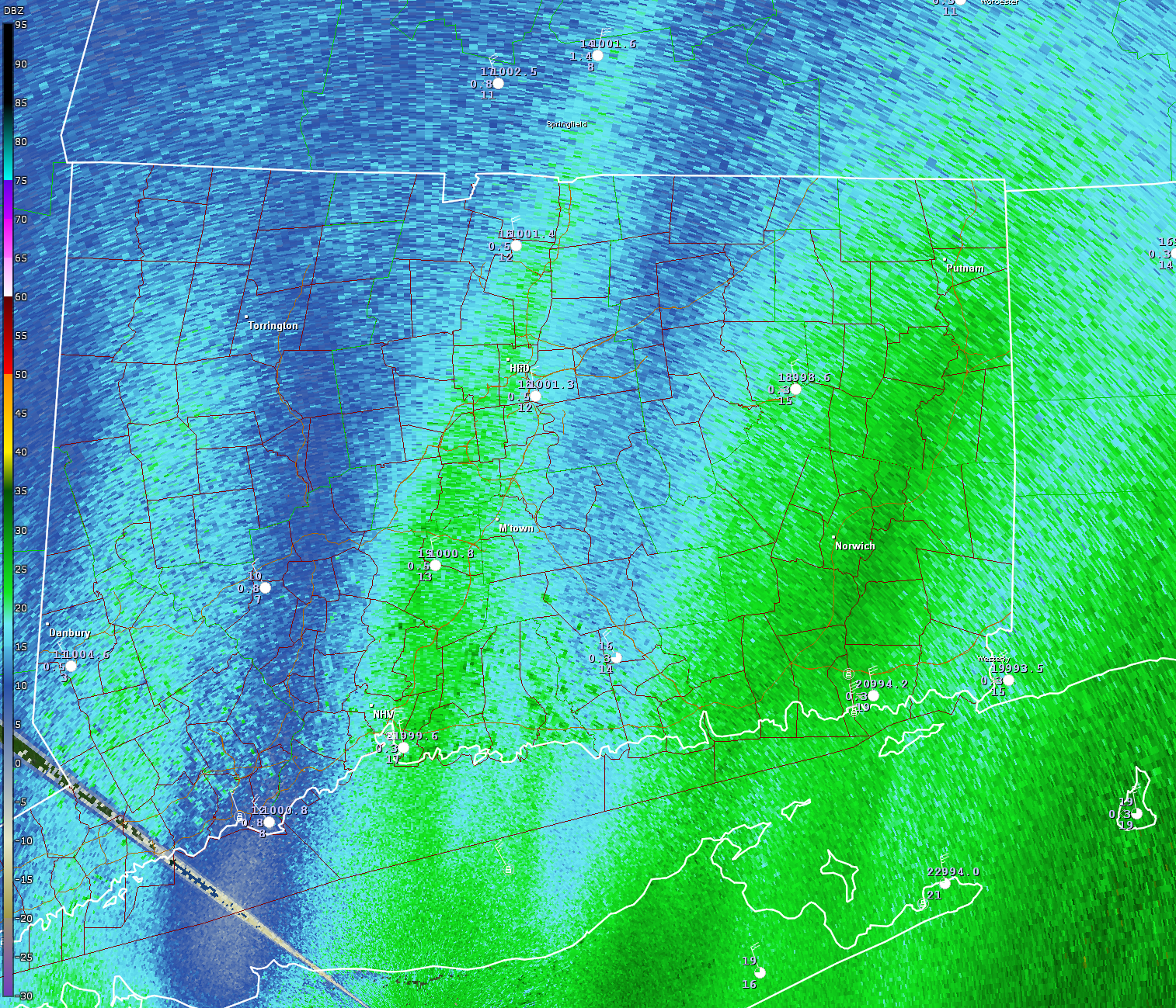
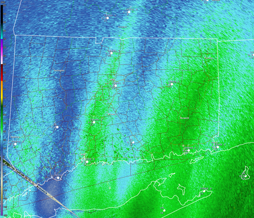
Posted for no particular reason and without comment.
-
Every storm.
-
We are actually!
-
 There are a lot of people in CT expecting 2 feet. I think they'll be a bit disappointed lol
 -
Always looked a lot better out your way