CT Rain
-
Posts
26,257 -
Joined
-
Last visited
Content Type
Profiles
Blogs
Forums
American Weather
Media Demo
Store
Gallery
Everything posted by CT Rain
-
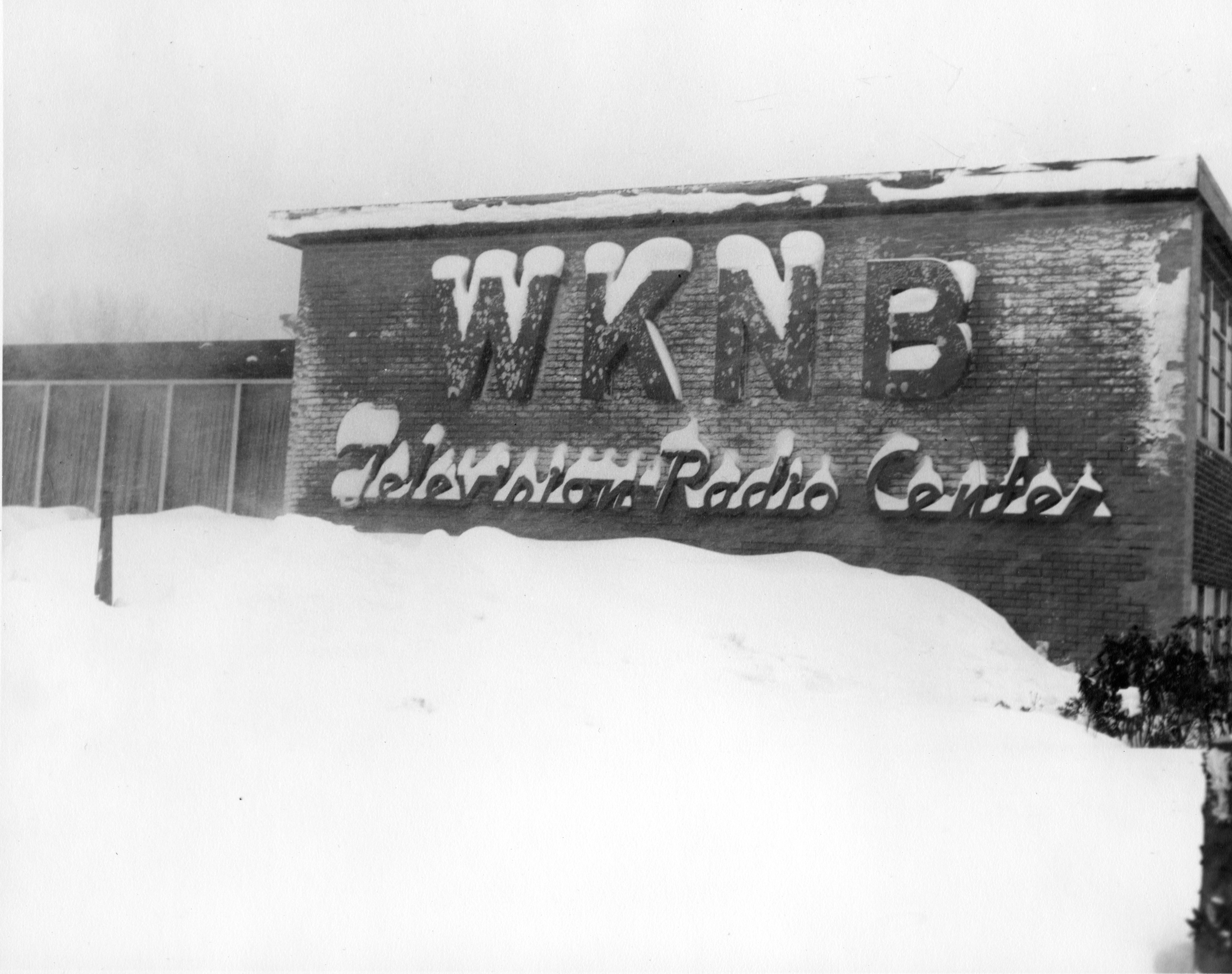
So funny - someone at work this morning asked me to figure out approximately when this picture was taken from the 50s.

-
Interesting. Unfortunately for them NCEI has the final say. I wonder what the deal is with the disconnect.
-
The wind on the BUFKIT soundings looks even worse today. 50-60 knots at the top of the mixed layer. Man cold.
-
And interesting Vermont and Maine also have -50F for the record. New York's record is -52F at Old Forge.
-
-50F from January 22, 1885. https://www.ncei.noaa.gov/access/monitoring/scec/records
-
Let's see if they can get to -51F to break the all-time record.
-
GFS gets Boston to -34C at 850 by 6z Saturday. Very impressive.
-
Euro not backing down with the cold. -37C for Boston at 850.
-
D10 Euro is a nice tucked stemwinder.
-
-35C at 850 for Logan Friday night. Not bad.
-
Fake Cold.
-
Looks like the plug has been pulled on tonight's flurries lol
-
And it's also not your typical fire hose LLJ/warm advection push backing in. Seems like it's some low level frontogenesis and some upper level support getting it done.
-
Hopefully the pope weighs in soon on this storm.
-
Develops into a hybrid kind of system over the Gulf Stream with a bit of a warm core.
-
Very Winter '22/'23. Lock it in.
-
At least it snows in Vermont!
-
Wow the Euro is really close to an epic solution. Going to be fun to track.
-
Any thoughts on how Sunday will be? Was thinking about either Mount Snow or Okemo?
-
Temps are pretty borderline south of the Pike. Not too excited.
-
EPS looks a little bit better for the Monday deal.
-
Stowe was really good this morning. Snow was super soft and not terribly heavy and slushy. Fun to ski on with a total March vibe (sun was out quite a bit this morning). That said, they need snow badly. Not sure how much more of a beating they can take. Went in to drink by 1.
-
Blah. How bad will it be tomorrow? haha
-
Heading to Stowe for Saturday and Sunday. Every New Year's ski trip I take is a disaster
-
 Looks like 43.0" at the Airport. https://nwschat.weather.gov/p.php?pid=202212251442-KBUF-NOUS41-PNSBUF