CT Rain
-
Posts
26,272 -
Joined
-
Last visited
Content Type
Profiles
Blogs
Forums
American Weather
Media Demo
Store
Gallery
Everything posted by CT Rain
-
It looks pretty good to me for a D8/9 threat. Not sure what all the hand wringing is about.
-
The KFS was so traumatized by the halftime performance it's been shut down for a bit.
-
When will KFS flip from warm to cold again?
-
I thought about not including it because of the way this winter has been but it looked decent for a D9 event.
-
I had a mix in the forecast for Day 9 and Day 10 in the 10-day forecast. It was crazy how long it had been since I've even had something like that pop up on the graphics.
-
Might be a scalping too based on the soundings.
-
hahah I can't wait
-
The Hamden coop didn't have >10" from either December 1945 storm. Seems like Hartford really lucked out for those 2.
-
Yeah February 83 is up there but falls short of 2013. 1888 & 1978 for sure and 2011 for a different reason. Anything pre-1950?
-
I see 0F in New Milford and 9F in Greenwich so 4F is reasonable there. There's definitely a gradient with the core of the cold over eastern New England and less the farther SW you go.
-
NW wind blowing right off the harbor will keep Tweed warning. For Sikorsky and Groton-New London and NW wind is offshore.
-
56 knots PYM
-
0F here at the station.
-
50 knots PSF
-
56 knots KSCH and 47 knots KALB. No problem mixing to the top of the boundary layer around Albany.
-
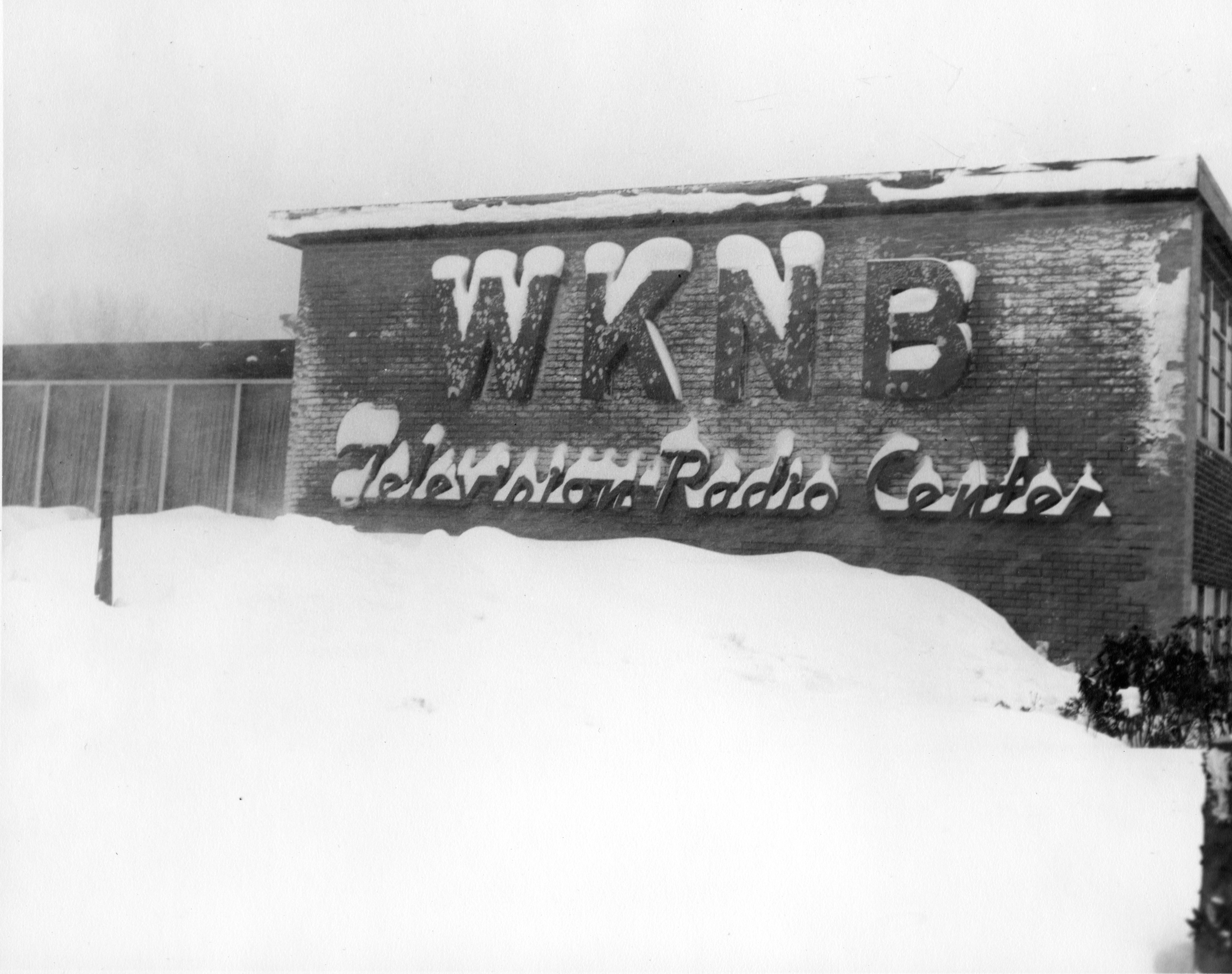
So funny - someone at work this morning asked me to figure out approximately when this picture was taken from the 50s.

-
Interesting. Unfortunately for them NCEI has the final say. I wonder what the deal is with the disconnect.
-
The wind on the BUFKIT soundings looks even worse today. 50-60 knots at the top of the mixed layer. Man cold.
-
And interesting Vermont and Maine also have -50F for the record. New York's record is -52F at Old Forge.
-
-50F from January 22, 1885. https://www.ncei.noaa.gov/access/monitoring/scec/records
-
Let's see if they can get to -51F to break the all-time record.
-
GFS gets Boston to -34C at 850 by 6z Saturday. Very impressive.
-
Euro not backing down with the cold. -37C for Boston at 850.
-
D10 Euro is a nice tucked stemwinder.
-
-35C at 850 for Logan Friday night. Not bad.