

mreaves
-
Posts
14,906 -
Joined
-
Last visited
Content Type
Profiles
Blogs
Forums
American Weather
Media Demo
Store
Gallery
Everything posted by mreaves
-
My dad did HVAC for 30+years and always said baseboard hot water was the best until radiant in-floor technology advances made that more practical but hot water is still the most comfortable.
-
I get it, we can't change it so enjoy what you can with what we get but it just highlights my entire disdain for the two months of mud season. Maybe it will mean that I won't have to go in to the office for work Monday.
-
Hope and pray for what? That it misses? That is what I would be hoping for. I really don't want 22" and yes, I know it wouldn't play out like that but now that I've melted out, I want the progression towards the warm season to continue unabated.
-
I get his point though. It’s a subjective combination of multiple factors. Losing a month has to negatively impact the overall score.
-
I drove home from northern Maine towing a snowmobile trailer yesterday. We delayed leaving Presque Isle due to poor road conditions and wind. Finally got on the road around 2:00. Everything was smooth sailing all the way through Bangor so I decided to go through the White Mtns. on Rt. 2. Worked fine all the way to Gorham, NH. At Gorham the wind was absolutely ripping and it was snowing and even though we saw a couple of state trucks coming down the mountain, I knew it was going to be sketchy. And I was correct. The wind was howling and it was near white out conditions. The snow was starting to accumulate on the road and combined with the salt made it pretty slushy. It was a white knuckle drive all the way to Twin Mountain. The road was fine most of the rest of the way until a mini repeat through Groton, Topsham and Orange. Pulling the big trailer in the wind was worse thing. It made me feel like I would get pushed around on the slippery road surface. o was pretty happy to get home.
-
Snowing up here in Presque Isle. Delaying my drive home.
-
@tamarackI took Rt.2 to Bangor today. Thought of you as I drove through New Sharon
-
I'm thinking B- or maybe a B. It was a consistent winter but I'm still 10"-15" below normal for snow. We did get just about wiped out a week or so before Christmas. It never got down to completely bare ground but set back the start of snowmobile season. The cold was consistent, somewhat low grade. We didn't have any truly low minimums but had a lot of low maximums. If we could have held out with winter for another week or so, the grade might be a bit higher.
-
Mud season is in full swing in my driveway and the parts of the yard I keep snowblowed. 51° and mostly sunny.
-

Meltdown's R Us. What's Buried Is Seen Again...
mreaves replied to Cold Miser's topic in New England
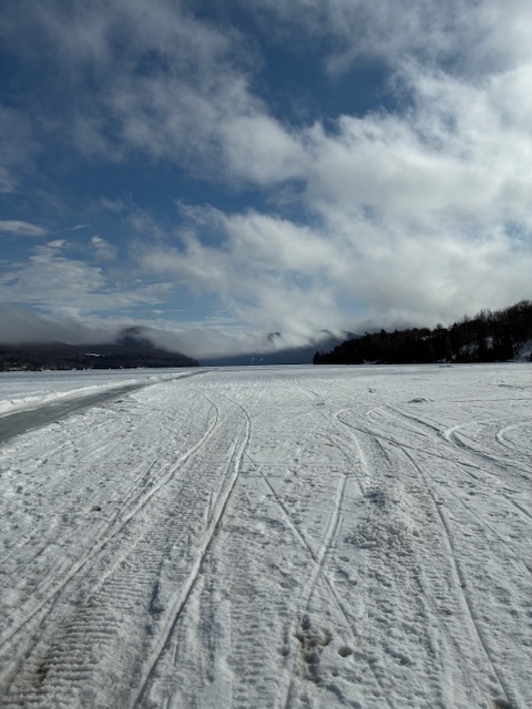
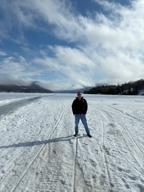
Not much melting on Lake Willoughby yet.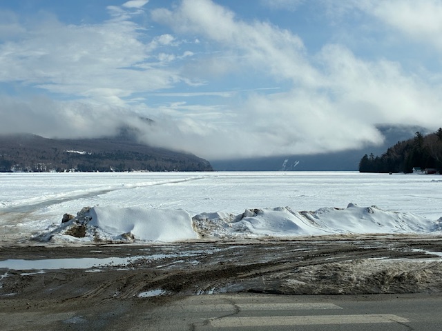
-
Am I reading that correctly? It looks like a relatively warm month with the coldest high temp being 19°
-
Now you're seeing the issue I have with early warm ups and melt outs up here. Regardless of what happens, you can't do anything outside until mid to late April so losing the pack early just prolongs mud season.
-
My dad was a HVAC tech for 30+years and he always said everything was tied to the price of oil. When heating oil goes up, wood goes up, natural gas goes up, propane goes up. It’s all based on oil.
-
2.5"
-
The trailer too but that was found in time for me to bring it back with me last weekend.
-
Somewhere in Canada. One of them is at a fenced in lot after being recovered by the police and I don't know where the other one is. If that one doesn't show up this week, the insurance company will pay up and I'll go up and get the found one in New Brunswick.
-
We have poster who has a home at 1800’ there. He hasn’t been posting much this winter.
-
I have tomorrow off and will be riding. Not my sled but am lucky to be able to access one.
-
Looks like about an inch of snow overnight. I guess I missed that in the forecast.
-
40.8°/30.7° here.
-
If that’s it, it was sprinkles mixed with flurries.
-
Glad you had a god time. I was in New Brunswick riding last week and had a great time. Until Friday morning when I went out to start packing the truck and found no trailer. The trailer and sleds were stolen overnight. The recovered the trailer later that day and have since recovered one of the sleds. Luckily the sleds were fully insured but its a bit of a pain in the ass.
-
How was the Gaspe? I've heard the north shore is excellent right now and while the south shore is fine, there is a noticeable difference in snow amounts this year.
-
I’d like to see what @powderfreakgets for liquid equivalent in a core sample. Until Friday night, there just hadn’t been much for qpf in the pack. Not that a warm Rainer wouldn’t cause issues, especially with the amount of ice on the rivers but I think we have some liquid storage capacity right now.
-
Similar here. The intangible for me is the lack of qpf. Until last Friday/Saturday there wasn’t much meat in the pack.


