mreaves
-
Posts
14,917 -
Joined
-
Last visited
Content Type
Profiles
Blogs
Forums
American Weather
Media Demo
Store
Gallery
Everything posted by mreaves
-
I thought so too but they said in the article that VT was one of 12 states without a mesonet?
-
Currently 45° off a midnight high of 55°. .80 of rain too. It's one of those special New England spring days.
-
Vermont is getting a mesonet! New Advanced Weather Station Will Be Part of Vermont’s ‘Mesonet’
-

-
The format sucks and is nearly incomprehensible.
-
You weren't warmed by the thoughts of the Canadiens advancing in the Stanley Cup playoffs?
-
Played my third nine tonight. Chilly but nothing too terrible. Shot a 43.
-
Yeah even had a few flurries spitting here.
-
54.5° for the high here. You torched comparatively.
-
.56 here
-
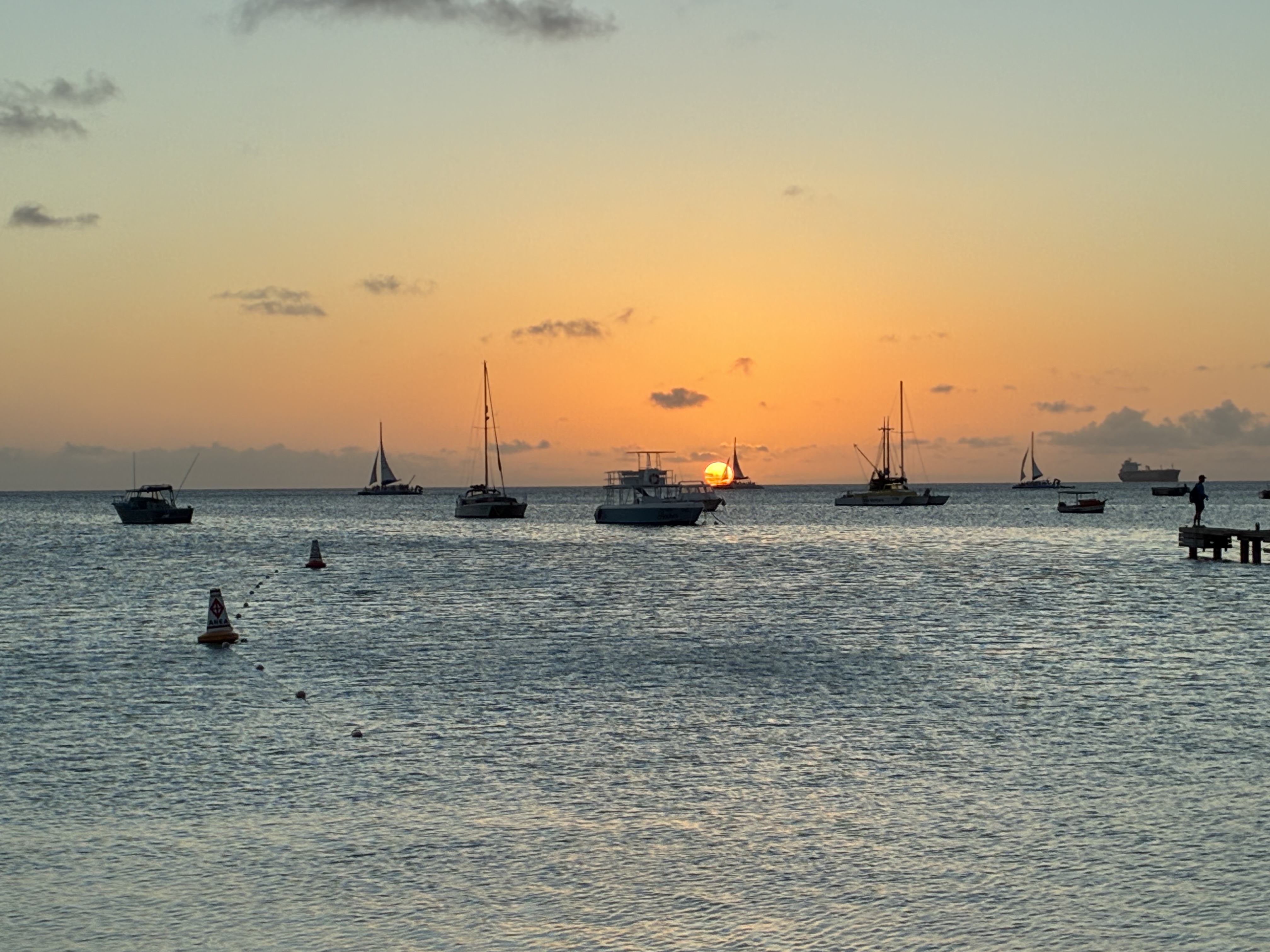
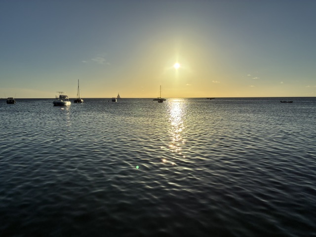
Currently 87°/75° as we get ready to leave Aruba.
-
Closing time, you don’t have to go home but you can’t stay here.
-
WTF? Maybe we are just giving Europe the win in exchange for basically neutering their tour?
-
I’m a SiriusXM subscriber. I don’t remember the last time I tuned in a terrestrial radio station.
-
Wow. Looks like the high back home was only 53°.
-
Are the scars as deep as the ones you have from a series of failed winters?
-
My guess is the Pope’s tomato plants got fried with a low of 27°
-
Seems nice where I am.
-
I don’t feel like I’m missing out.

-
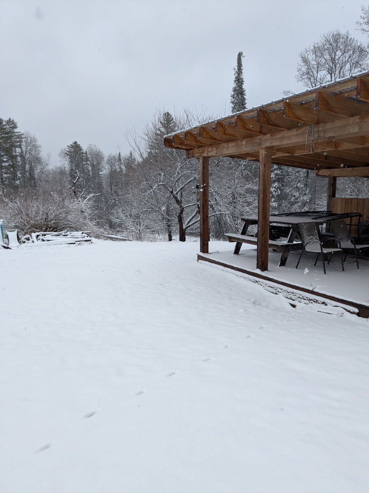
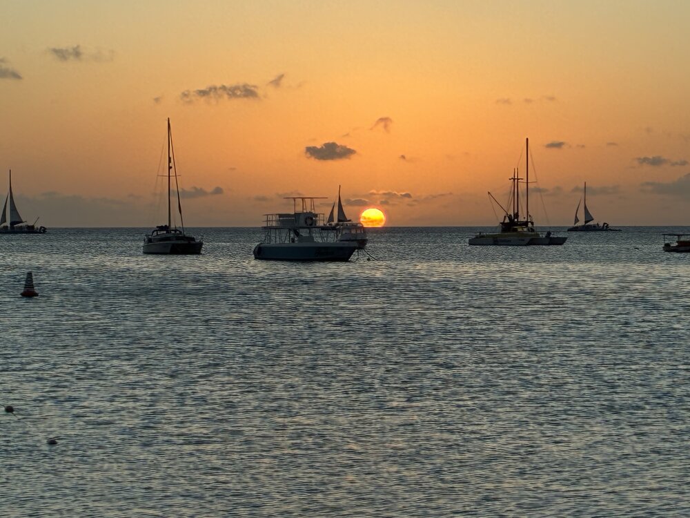
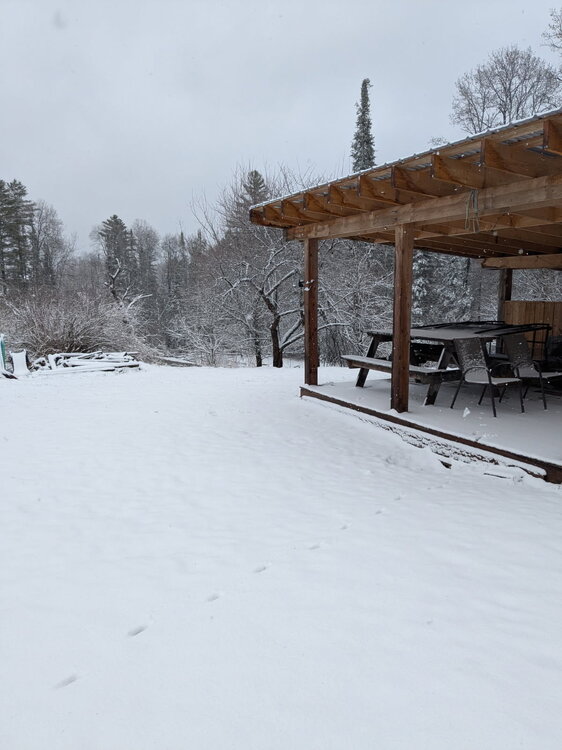
This is my friend’s place in Chelsea. Meanwhile it’s 86° here in Aruba.
-
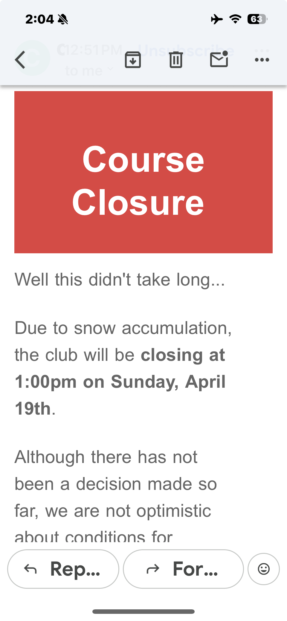
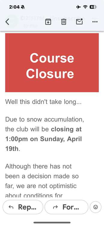
Thank god I’m in the Caribbean. Look at this notice from my golf course.
-
And get arrested for child abuse?
-
Good luck. Will it have to spend any time in the NICU? Our son was born 5-6 weeks early and they kept him there for a week.
-
We spent part of the day driving to Montreal as we are flying to Aruba at 7:00 am. The high at home looks to be 64° but it was sunny and 75°-77° on the car thermo once we got to Richmond.
-
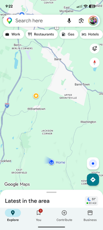
The blue dot is where my friend lives and I live in Upper Graniteville. The track was through the area labeled Jackson Corners.