Juliancolton
-
Posts
8,593 -
Joined
Content Type
Profiles
Blogs
Forums
American Weather
Media Demo
Store
Gallery
Everything posted by Juliancolton
-
Same as it ever was.
-
Radar is not looking too hot to my south. I wouldn't be surprised to end up with less than a tenth once again.
-
Most interesting atmospheric event since the Tonga pressure wave imo
-
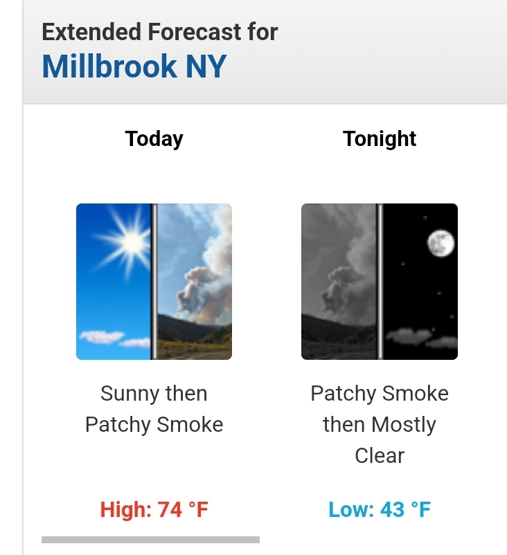
Solar radiation is climbing here which has improved the doomsday look a little, but still very smoky at the surface.
-
Yeah, can't buy a downpour anymore. Even with thunder and small hail earlier I only picked up 0.06. The shower really seemed to intensify the campfire scent... not sure if it mixed down thicker smoke or just made it more perceivable with the higher humidity.
-
41/86 today
-
I've never seen this before

-
Lo 40/hi 82 today. It's fun when you can just overshoot the entire range of human comfort in a few hours.
-
36 here with a couple 34 spots in the neighborhood. I got anxious in the wee hours and stuck some fans and patio heaters in my gardens.
-
Looks like upper 30s again tonight.
-
.70" according to the Ambient. Hopefully it's not another 3 weeks before the next one.
-
 Can't wait to mark myself safe on facebook
 -
28 will probably do it here. Annoying and rather impressive for the date.
-
41/25 here, with a 38 just up the road at slightly lower elevation. Still the lightest of breezes preventing the bottom from falling out just yet.
-
Luckily, my windows were already closed on account of the pollen. It's a wonder anyone can breathe this time of year.
-
34 this morning. Thursday morning looks like a lock for 30-31 imby
-
35 for a low. Had to head out early and hoping no issues with the annuals I've already planted. 35 can get dicey at ground level.
-
90 here already. It's a shame we couldn't extend this one more day for a first half of April heat wave in spots.
-
Summerlike temps perfectly coinciding with peak flowering bulbs and trees has really been an experience. Almost makes a person reconsider their disdain for spring as a concept.
-
And touched 90.0 before back down to 89. It still feels reasonably comfortable thanks to the breeze and low dews.
-
89.4 so far...
-
Ended up with a slightly smaller swing than yesterday (33/73 today), despite the launch sequence in the first couple hours after sunrise. Lousy afternoon clouds. Had to water my garlic today
-
30-degree diurnal swing already achieved for the day.
-
75 here!