Juliancolton
-
Posts
8,593 -
Joined
Content Type
Profiles
Blogs
Forums
American Weather
Media Demo
Store
Gallery
Everything posted by Juliancolton
-
So, I'm at 22.35" for met. summer so far. There's an outside chance that tonight's convection gets me close to 25" - the NAMs look pretty juicy.
-
53, meh. Feels refreshing, but not quite PSL weather yet.
-
It's pouring again, thank god. We really needed it.
-
The torrential rain just does not quit this summer. Another 1.75+
-
Anyone seeing any changing leaves yet? Even with record rains there's gotta be some stressed tree in some highway median somewhere that's starting to blush
-
Should get into the upper 40s here without too much trouble. Currently 62/54 and tanking. I'd rather have warm nights for another few weeks to keep my gardens rolling.
-
I got rained on in Poughkeepsie, but nothing at the house. Watering resumes tomorrow I guess
-
 Kp notifications lag behind by hours and are generally pretty useless. Gotta check real-time solar wind data
 -
Low 53
-
I just thought to myself that it feels kinda chilly, then saw it was 73/67. I feel like a grandparent visiting from Florida.
-
July has arrived ... the Meteorologically defined mid summer month
Juliancolton replied to Typhoon Tip's topic in New England
He's one of the best. I was lucky enough to see him in a solo acoustic show last year, was awesome -
No idea what they are, but just get some Sevin insecticide and they'll be gone. While I try not to use the potent stuff until it's absolutely necessary, any oils/natural solutions are hit-or-miss at best for established infestations. Also...
-
Exactly in the areas that needed it the least. I'm finally getting into some steadier showers and up to about a quarter inch for yesterday and today.
-
I'm gonna get lambasted for this but my gardens could actually use some showers tonight, lol. Breezy sun is turbo-drying everything.
-
We got nailed up here with the second round overnight. Tipper has me at almost 6" storm total. Some flooding in the neighborhood, but nothing too extreme. What nobody needs now is a tropical system over the next several weeks.
-
This is insane for this area.
-
91/75 is the real deal!
-
We're actually sneaking in an acceptable holiday up here. Only a couple sprinkles early this morning. Cookouts saved for the most part.
-
Most places to your north and west will remember this as a wet early summer period.
-
I think it's raining, but who can really tell at 73/73?
-
Really need lawn to dry out so I can mow.
-
This has been one of the stormier days in recent memory. I enjoyed it. One more round coming through now. edit: best storm of the day, and year. Tons of gorgeous spider lightning. I'm sitting under the porch just taking it all in.
-
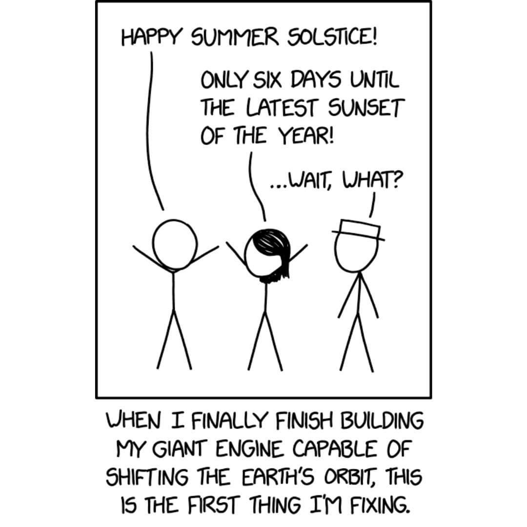
Today's xkcd comic for @IrishRob17

-
The 2023 Lawn, Garden, Landscape Party Discussion
Juliancolton replied to Damage In Tolland's topic in New England
About 1/4 of my tomato plants have started showing early blight lesions in the past day or two, in spite of my usual pruning regime and weekly Daconil treatments. Usually I can make it to July before foliar diseases show up. It'd be hard to invent a more favorable weather pattern for continued disease pressure than the one coming up. -
Coming up on half an inch at home. Not too shabby. It's hard to overstate how much plants prefer rain vs hand-watering, so this is very welcome.