RitualOfTheTrout
-
Posts
3,693 -
Joined
-
Last visited
Content Type
Profiles
Blogs
Forums
American Weather
Media Demo
Store
Gallery
Everything posted by RitualOfTheTrout
-

Pittsburgh/Western PA WINTER ‘25/‘26
RitualOfTheTrout replied to Burghblizz's topic in Upstate New York/Pennsylvania
Glad to see some LES lottery winners! Only about a half inch here, but may briefly get a piece of that band before it dissipates / drifts north. -
Pittsburgh/Western PA WINTER ‘25/‘26
RitualOfTheTrout replied to Burghblizz's topic in Upstate New York/Pennsylvania
Definitely a signal for a storm around that period. Trough looks a little to far East as depicted for us, but it will all be different in 12 hours anyways. -
Pittsburgh/Western PA WINTER ‘25/‘26
RitualOfTheTrout replied to Burghblizz's topic in Upstate New York/Pennsylvania
NWS mentioned some decent upper level support as well. Another relative lull in snow is possible Wednesday afternoon, before a more significant shortwave trough and reinforcing cold front drop in from the Great Lakes for New Years Eve into New Years Day. Renewed cold advection and WNW flow will likely add lake and upslope influences. There may even be upper support from the left exit region of an upper jet diving into the Middle Ohio Valley. Along with better moisture, this sets the stage for an accumulating snow across the region Wednesday afternoon into Thursday. Current first- guess snow totals would have 6-7 inches in the ridges from Fayette County on south, and 2-5 inches elsewhere. Given these totals and the potential impact to holiday festivities, a Winter Storm Watch is being issued for the ridge zones from Wednesday afternoon into Thursday morning. Snow would then begin to taper off Thursday afternoon as lingering lake effect/upslope snow showers. -
Pittsburgh/Western PA WINTER ‘25/‘26
RitualOfTheTrout replied to Burghblizz's topic in Upstate New York/Pennsylvania
Nice, just a coating here, but getting steady light snow atm. -
Pittsburgh/Western PA WINTER ‘25/‘26
RitualOfTheTrout replied to Burghblizz's topic in Upstate New York/Pennsylvania
Things look to start getting interesting again as we head into the new year. January shaping up with blocking and some hints of stj too. Much better looking than what models were showing a week ago. Hope it holds. Otherwise will be watching tomorrow for any snow bands. -
Pittsburgh/Western PA WINTER ‘25/‘26
RitualOfTheTrout replied to Burghblizz's topic in Upstate New York/Pennsylvania
These squalls mean business. Combined with the wind and flash freeze roads are bad. Big wreck inbound on the highland park bridge. It was basically a sheet of ice. -
Pittsburgh/Western PA WINTER ‘25/‘26
RitualOfTheTrout replied to Burghblizz's topic in Upstate New York/Pennsylvania
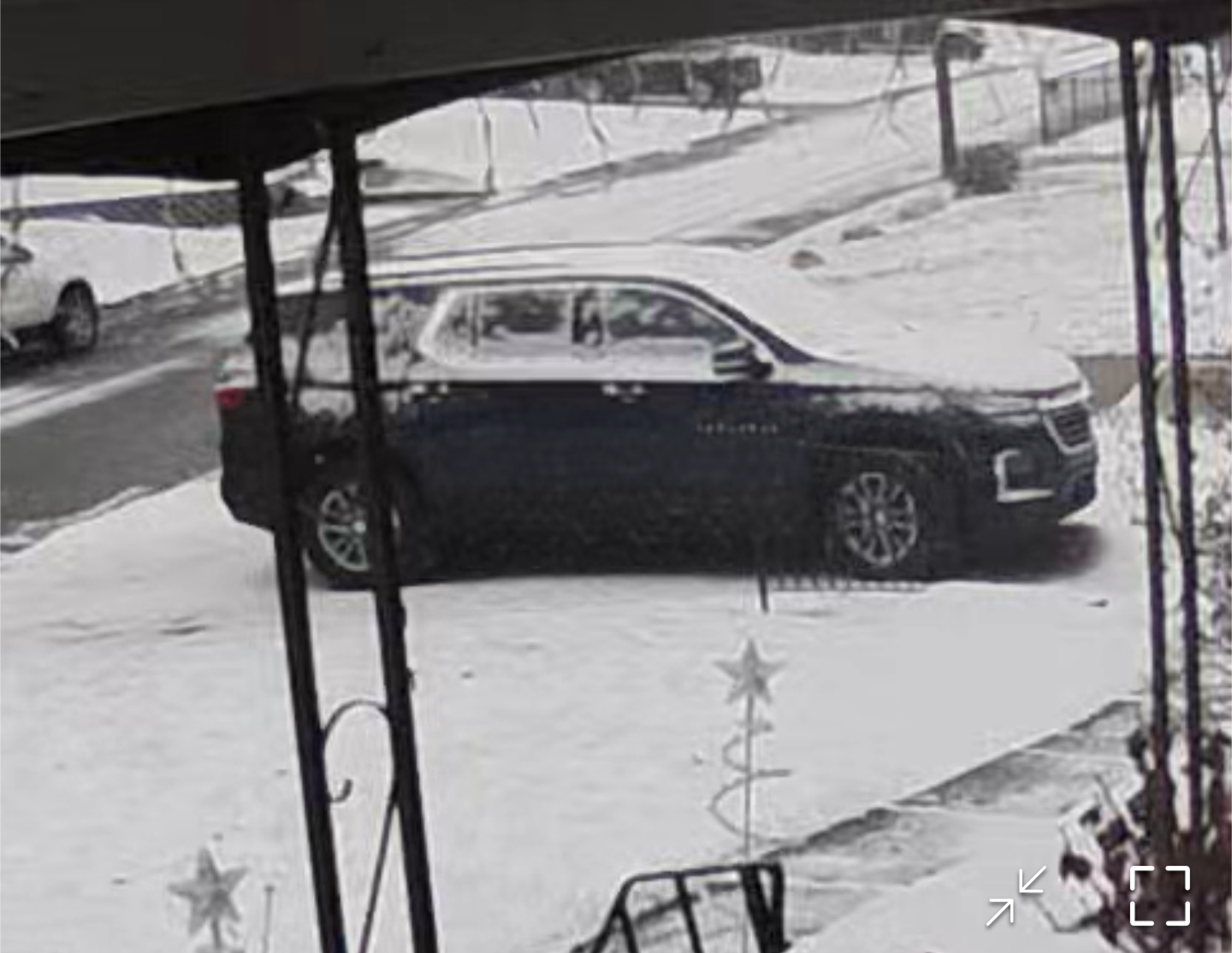
Yeah, this caught me off guard. I only caught the end of the heavy burst around 11:15 coming up from the basement. Probably laid down a quick quarter inch that flash froze to everything. Had to go into the city so Im missing the good stuff back home. Ring camera looks like at least an 3/4 to an inch. Driving down 28 my car was completly encased in snow and ice, while all the other vehicles were clean around me. Felt like I was in the delorean a time traveling stint lol.
-
Pittsburgh/Western PA WINTER ‘25/‘26
RitualOfTheTrout replied to Burghblizz's topic in Upstate New York/Pennsylvania
Yes, at least one I remember actually happened on Christmas Eve. Wave developed along a front, front went through, temps dropped and rain turned to snow as the developing wave stalled the front. -
Pittsburgh/Western PA WINTER ‘25/‘26
RitualOfTheTrout replied to Burghblizz's topic in Upstate New York/Pennsylvania
That's probably how we will have to get snow with a -pna over the next couple weeks. Cold front goes through then you time a follow up wave while you have the cold, then it warms back up, rinse and repeat. -
Pittsburgh/Western PA WINTER ‘25/‘26
RitualOfTheTrout replied to Burghblizz's topic in Upstate New York/Pennsylvania
This event checked a lot of boxes, long duration, daytime, cold during and after. Measured close to 6. -
Pittsburgh/Western PA WINTER ‘25/‘26
RitualOfTheTrout replied to Burghblizz's topic in Upstate New York/Pennsylvania
It keeps pivoting / breaking up over me. Mainly just on and off light snow, but adds to the scene. -
Pittsburgh/Western PA WINTER ‘25/‘26
RitualOfTheTrout replied to Burghblizz's topic in Upstate New York/Pennsylvania
Heavy snow. Kicking back with a couple mad elf beers and watching A Christmas Carol. -
Pittsburgh/Western PA WINTER ‘25/‘26
RitualOfTheTrout replied to Burghblizz's topic in Upstate New York/Pennsylvania
Same... Keep coming up with reasons to go out. Oh garbage bags almost full Ill get those. Better shovel the walk.. lol -
Pittsburgh/Western PA WINTER ‘25/‘26
RitualOfTheTrout replied to Burghblizz's topic in Upstate New York/Pennsylvania
Best rates of the event imby right now. Looks like a heavier band moving in now. Took the dogs out for a walk and pulled the boy around on the sled. Roads are pretty bad. -
Pittsburgh/Western PA WINTER ‘25/‘26
RitualOfTheTrout replied to Burghblizz's topic in Upstate New York/Pennsylvania
Nice. I think you are in a great spot for this one. Wind is starting to pick up some now it seems. -
Pittsburgh/Western PA WINTER ‘25/‘26
RitualOfTheTrout replied to Burghblizz's topic in Upstate New York/Pennsylvania
It was an unmitigated disaster in the last 10 minutes. I'm sure Rust will be reliving hitting the post with an empty net, but up 2 goals still at that point it shouldn't have been necessary to score anyways. -
Pittsburgh/Western PA WINTER ‘25/‘26
RitualOfTheTrout replied to Burghblizz's topic in Upstate New York/Pennsylvania
Closing in on 1.5 inches. Snow is wet, not dry powder like I expected. -
Pittsburgh/Western PA WINTER ‘25/‘26
RitualOfTheTrout replied to Burghblizz's topic in Upstate New York/Pennsylvania
Glad we are getting some of this during the daylight hours too. -
Pittsburgh/Western PA WINTER ‘25/‘26
RitualOfTheTrout replied to Burghblizz's topic in Upstate New York/Pennsylvania
Anyone in that band and to the South (outside higher elevations) has the best shot at warning criteria. Some flurries starting to fall here. Looks like light snow is on the door step. -
Pittsburgh/Western PA WINTER ‘25/‘26
RitualOfTheTrout replied to Burghblizz's topic in Upstate New York/Pennsylvania
Glad you are back! -
Pittsburgh/Western PA WINTER ‘25/‘26
RitualOfTheTrout replied to Burghblizz's topic in Upstate New York/Pennsylvania
I would be pretty excited if I lived between the Mason Dixon line and I-70. Im thinking 2-4 for the city north. Don't get me wrong, it should be fun, cold powder is my favorite. Sunday may also feature some robust lake bands (looks like maybe a lake Huron connection) so that might add a lottery jackpot and add to the wintry feel of the day. -
Pittsburgh/Western PA WINTER ‘25/‘26
RitualOfTheTrout replied to Burghblizz's topic in Upstate New York/Pennsylvania
Anybody under this band? Curious if its putting down anything. Its only a few miles north of my yard, hoping it drifts south a bit. Contemplating going for a drive..gif.4fe604a8eff20048166680bd9e0529ca.gif)
-
Pittsburgh/Western PA WINTER ‘25/‘26
RitualOfTheTrout replied to Burghblizz's topic in Upstate New York/Pennsylvania
If we mange at least 3 inches I may try to take the boy sled riding, might be the last opportunity for a couple weeks. Sunday should look and feel like winter. Should have NNW flow and lake streamers / snow showers. Certainly looks warm after mid week. There should be at least a few "colder" periods after a cutter or something for a day or two mixed in, might be able to thread the needle but otherwise not a great look. Hopefully by Christmas we see some favorable looks on the ensembles for a return to winter. -
Pittsburgh/Western PA WINTER ‘25/‘26
RitualOfTheTrout replied to Burghblizz's topic in Upstate New York/Pennsylvania
We could actually use a little bit of a north adjustment, and it wouldn't really hurt anyone else in the region, just spread the wealth a little further north.
-
Pittsburgh/Western PA WINTER ‘25/‘26
RitualOfTheTrout replied to Burghblizz's topic in Upstate New York/Pennsylvania
Got a quick coating of snow, roads are covered. Might be some pretty icy conditions out there tonight.