mob1
-
Posts
2,794 -
Joined
-
Last visited
Content Type
Profiles
Blogs
Forums
American Weather
Media Demo
Store
Gallery
Everything posted by mob1
-
If you have a to miss a storm, this is the one. Not exactly anything to write home about.
-
Will be interesting to see what they do. They obviously always sucked at measuring, but I wonder if now that people can bet on snowfall totals (which is pretty dumb IMO) if they'll be sued by some disgruntled gambler who felt cheated and be more on top of it in the future (unlikely, but it adds a different dynamic to it).
-
The probably added enough in this last band since 1 to get to 20, but I doubt they'll count it.
-
That's awesome! So many 2' reports (mine among them).
-
I will be beyond shocked if they come below that.
-
Going out with a bang
-
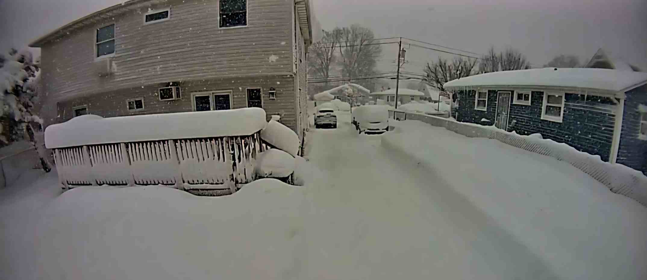
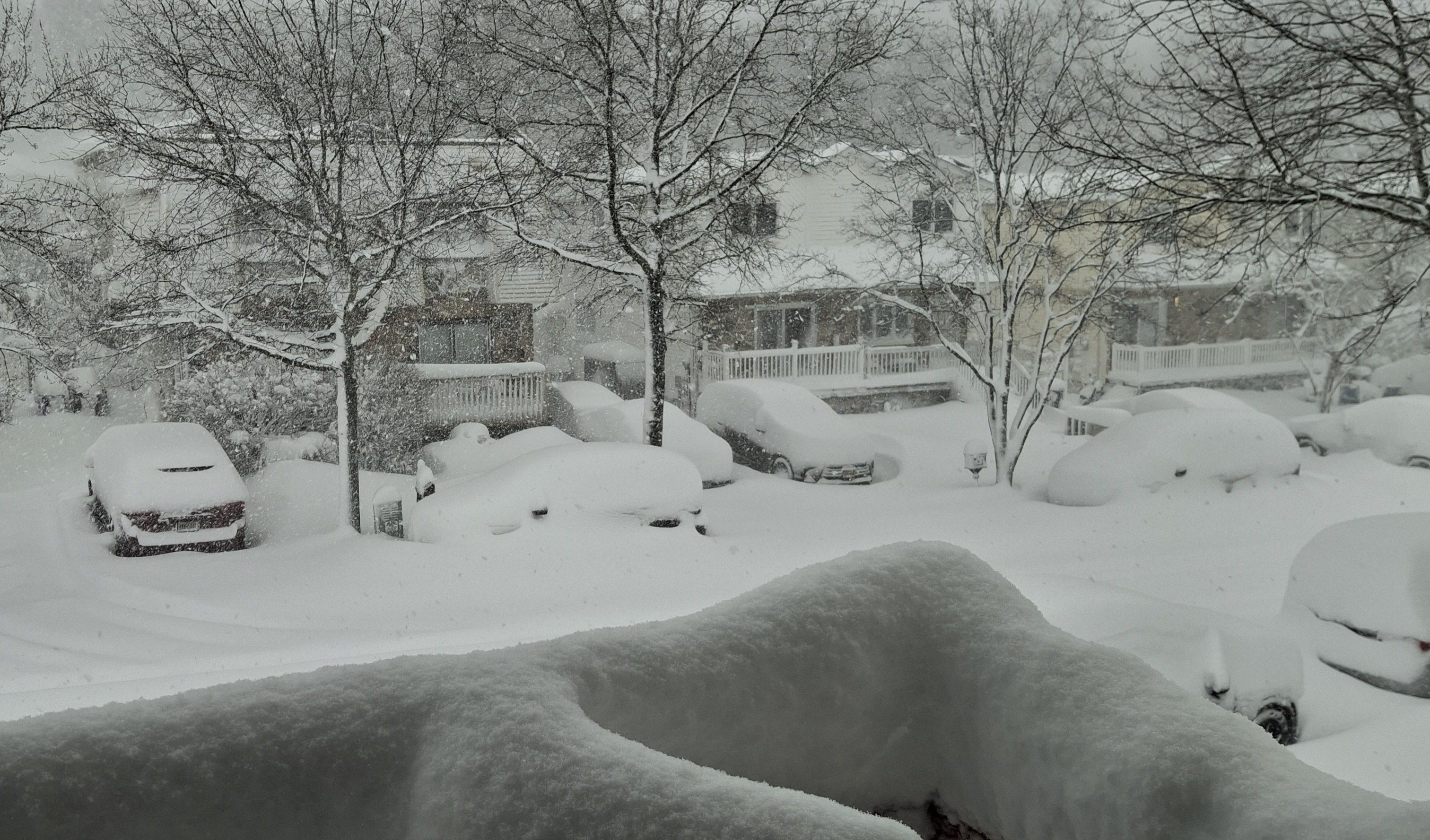
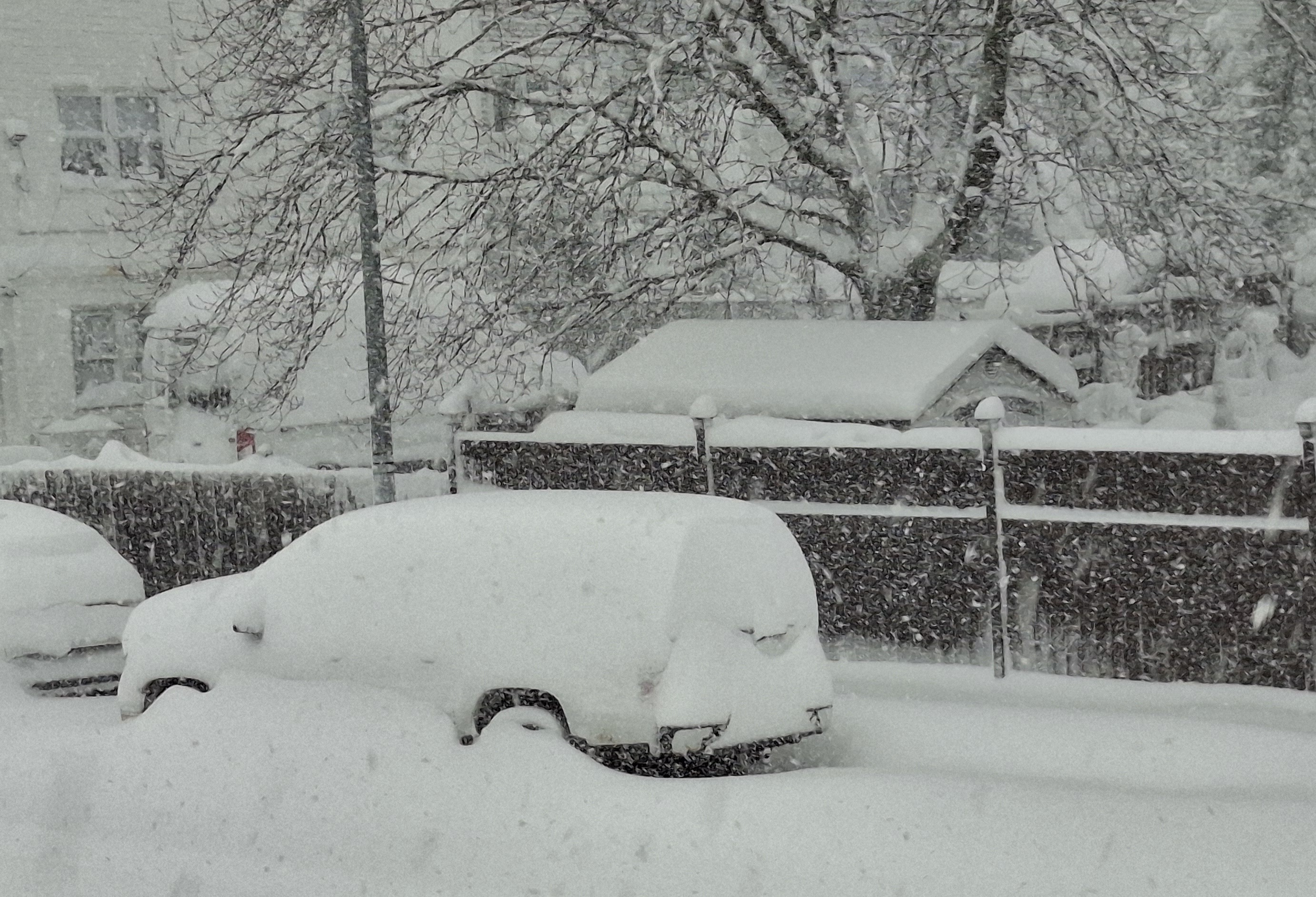
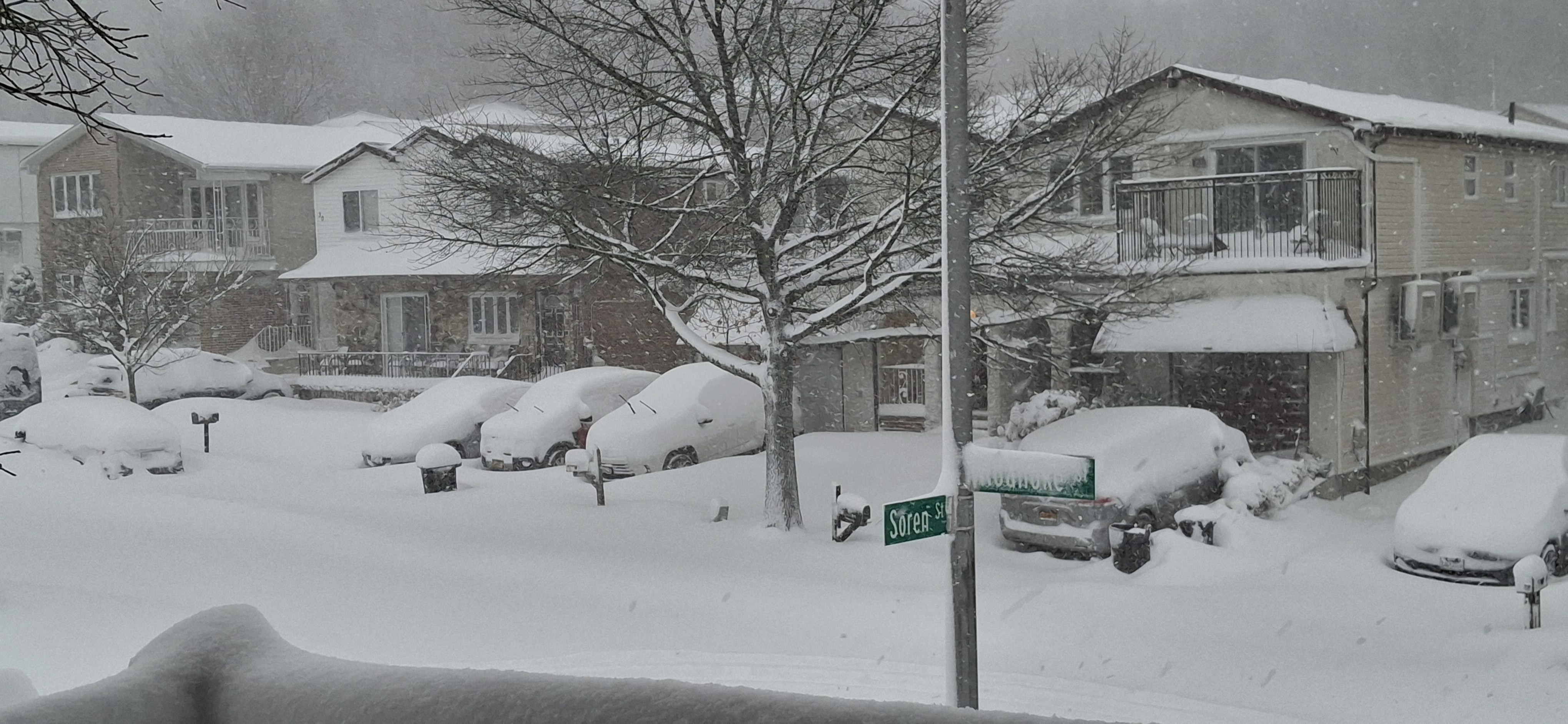
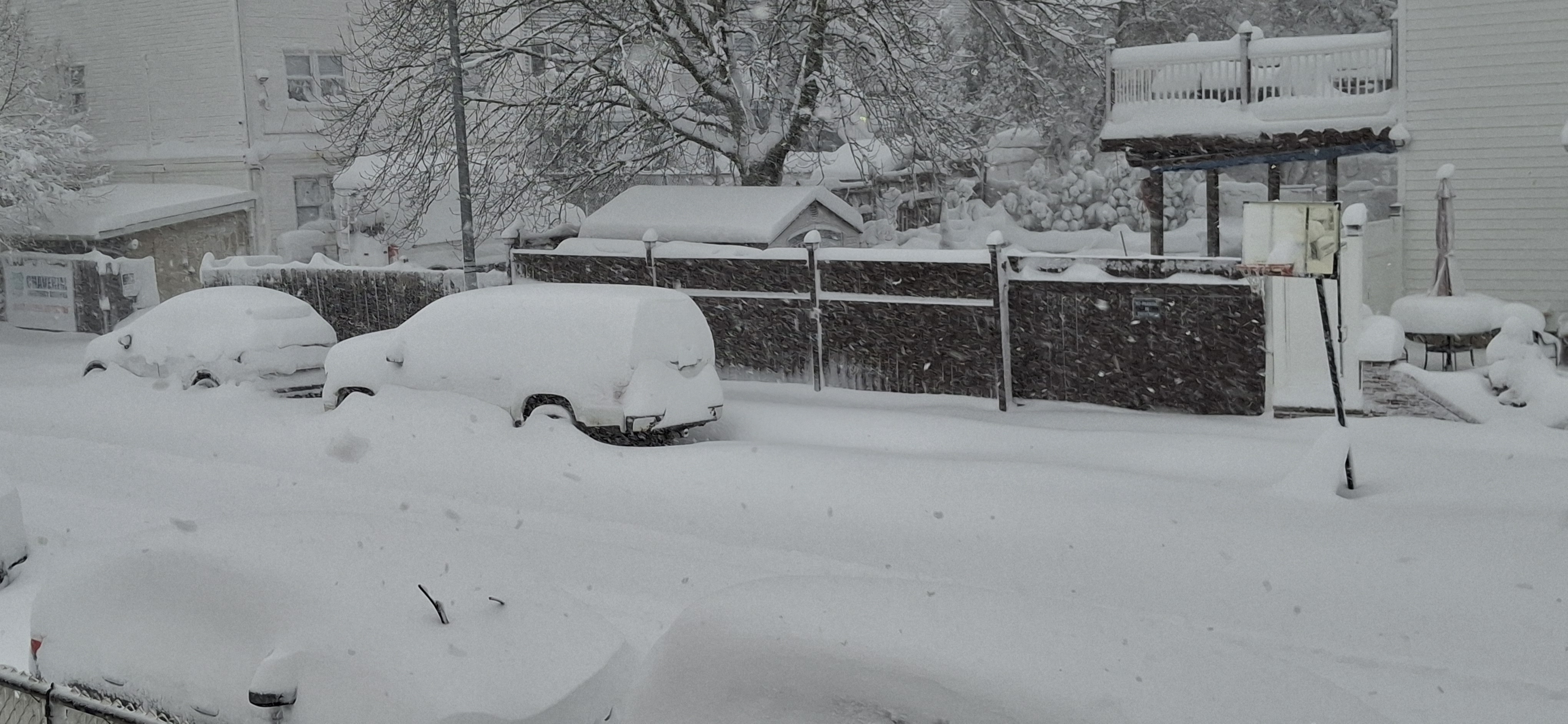
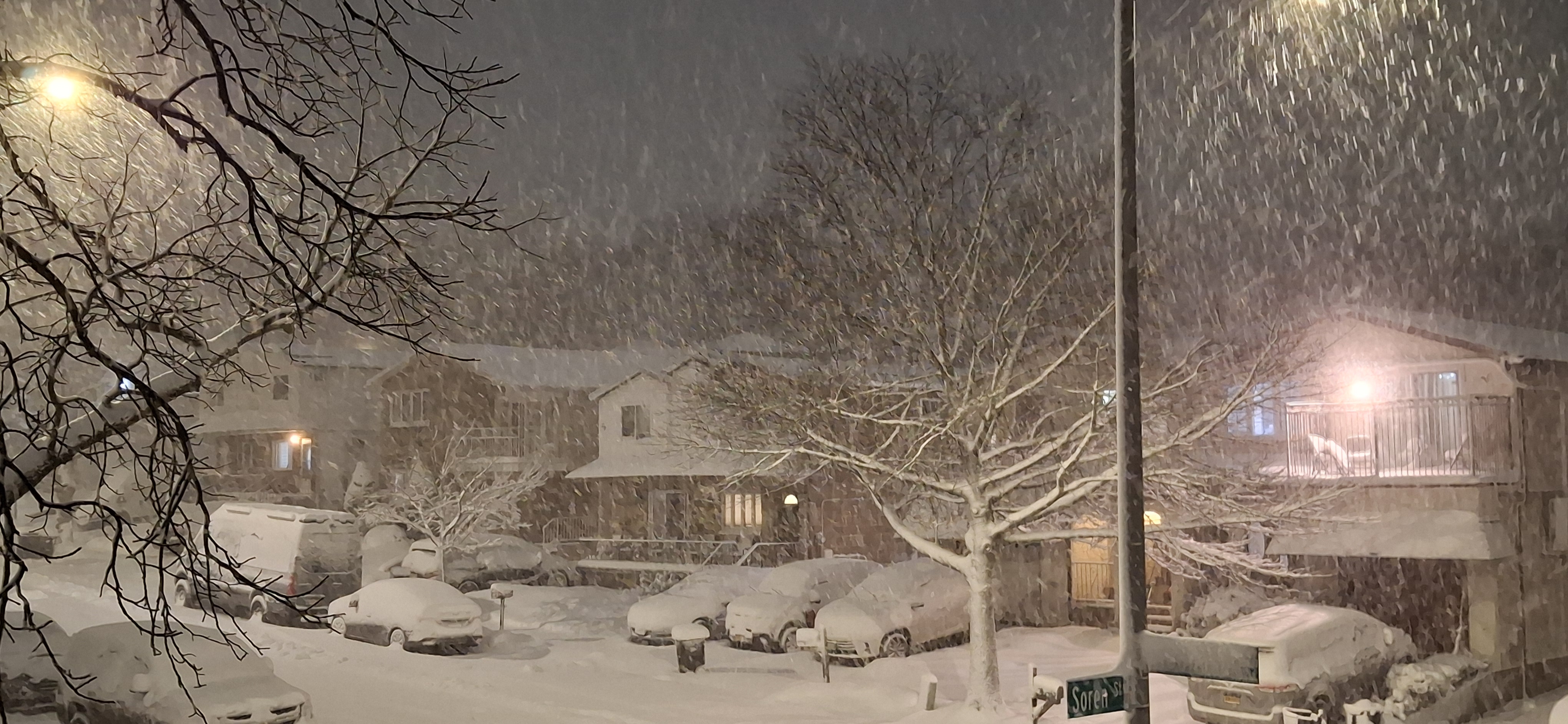
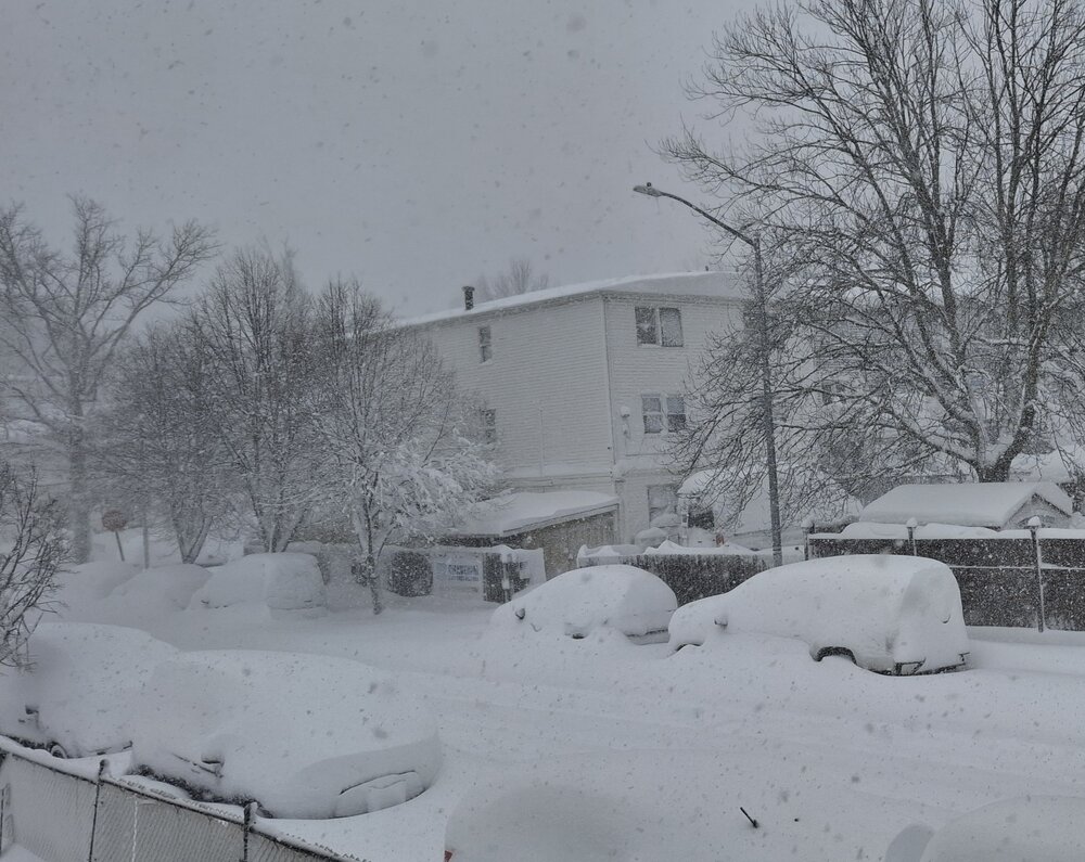
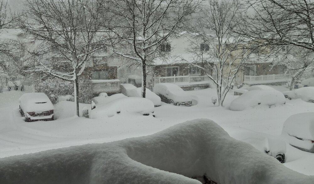
Cars are now disappearing under the snow

-
Should be doable if that last band holds together nicely for a while as it slowly drifts east and disappates.
-
It's good ratio snow (at least in the heavier banding) so it would be pretty surprising if they don't hit 20 by 1 o'clock.
-
"Don’t do it" 2026 Blizzard obs, updates and pictures.
mob1 replied to Ginx snewx's topic in New England
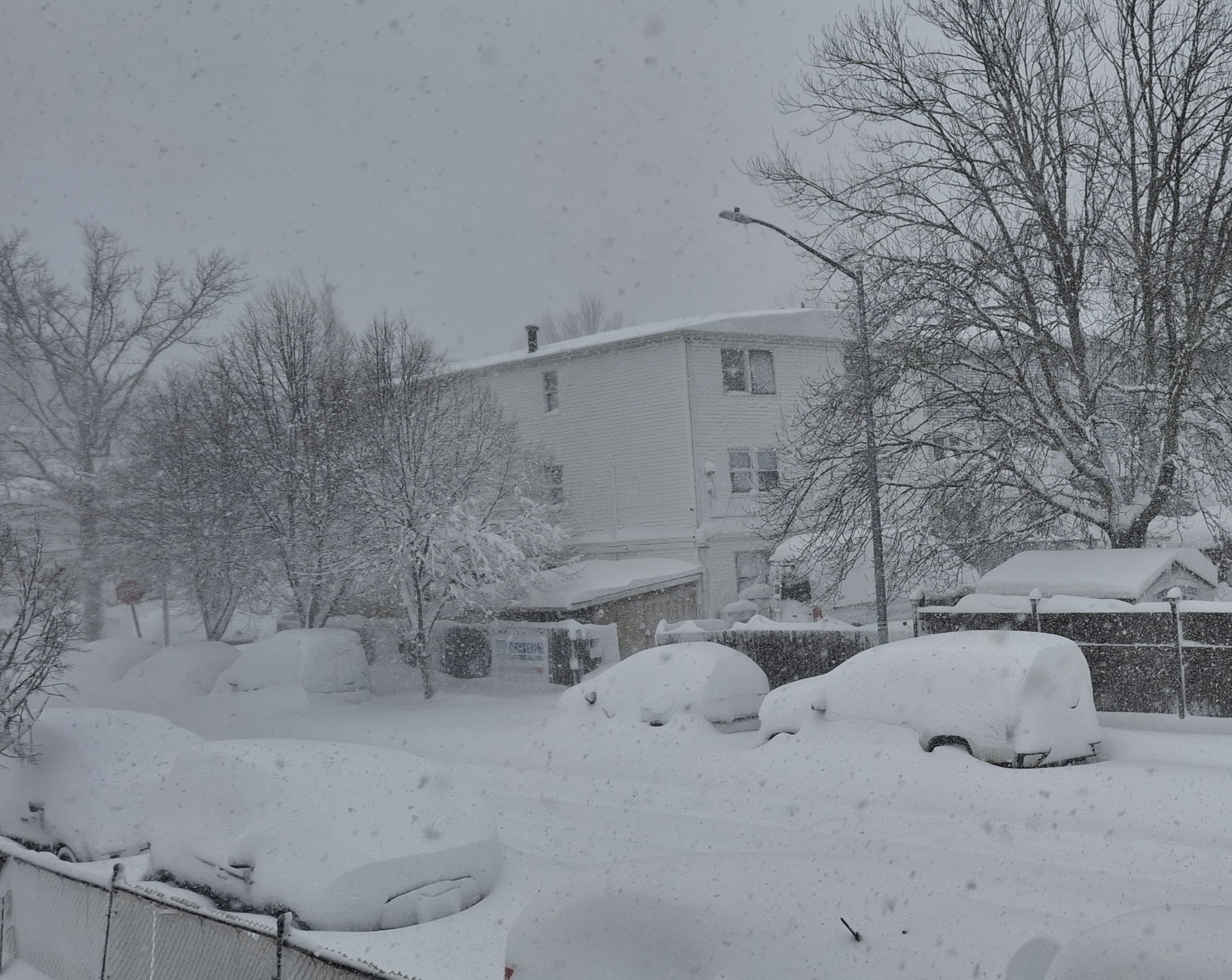
Have about 2 feet here. Not quite the beatdown that parts of southern New England got, but close enough. -
Love it
-
That was at the 7 am observation, they're 18-20 now.
-
What is Philadelphia up to so far? That training band over them last night was something else.
-
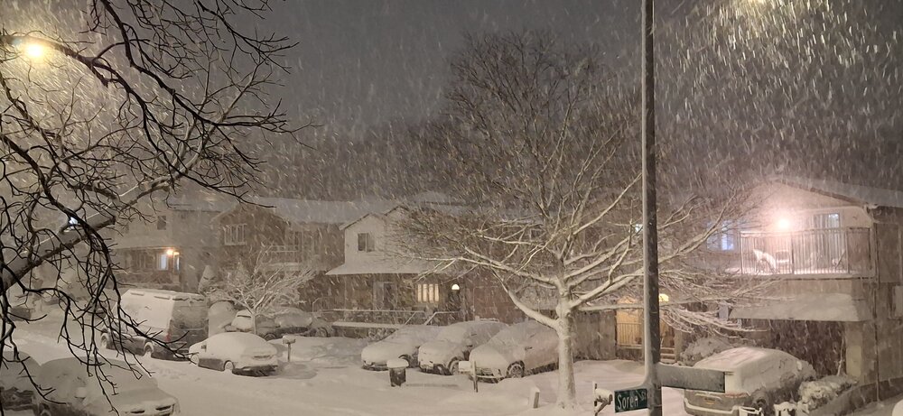
Some insane totals. 20 here and still puking snow.

-
Just incredible
-
We're in that same band and it's probably the heaviest snow of the event.
-
Relentless

-
Just gave it a shot and came up with an average of 16.2". Should easily get to 18.
-
Nice! I'm probably close to 11 now.
-
If you want to live vicariously through me, I have about 8" in the last 4 hours (Staten Island in NYC) and am under one of the heaviest snow bands I've seen in a while.
-
This is wild. Closing in on 8 inches.
-
You should be under that crazy band now, how is it? I'm next in line.
-
I might reach double digits after this band moves through (at 6 now)