
Jonathan
-
Posts
1,466 -
Joined
-
Last visited
Content Type
Profiles
Blogs
Forums
American Weather
Media Demo
Store
Gallery
Posts posted by Jonathan
-
-
2 minutes ago, Queencitywx said:
Ha! Still shows 6-7” from Clemson to Gaffney. With all the hemming and hawing, I would’ve thought opposite.
I just thought overall it was a little more amped and warmer than we'd like to see. It definitely doesn't slide west to east, noticeable north jump this go round. Onto the ensembles...
-
-
I guess overall, this is probably more realistic. Fantasy playtime is over outside of the mountains.
-
4 minutes ago, BIG FROSTY said:
Any snow at all in NC on this run?
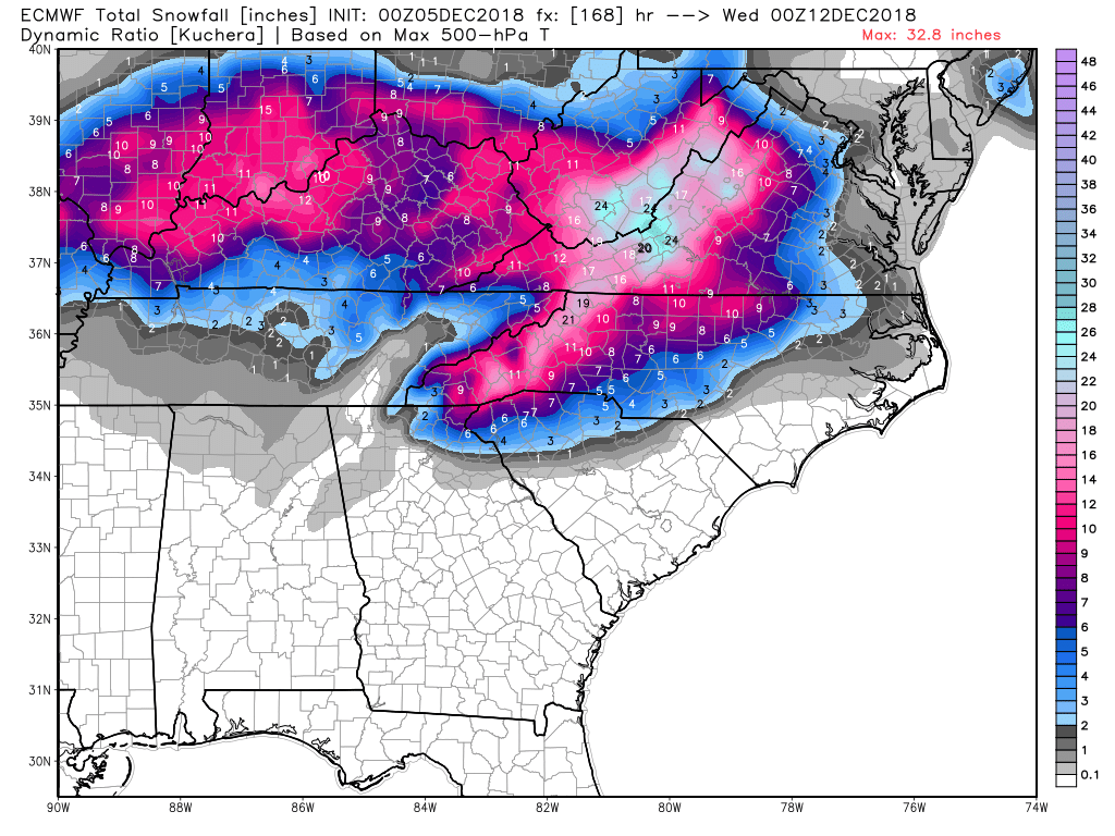
Sent from my iPad using TapatalkVerbatim with Kuchera ratio still 12"+ in the mountains, 20"+ near Roanoke VA, only 6-8" in the foothills, 2-6" Piedmont, 0-1" for Raleigh.
EDIT: an additional 1-3" on the back side for the Piedmont, gets Raleigh to 2-5"
-
*turns on lights, starts coffee maker*
Ah, this morning should be a doozy! Gonna be DEFCON 1 in the SE forum in a few hours!
-
 1
1
-
 3
3
-
-
Just now, oconeexman said:
The low is pretty close to the same track just a little slower and the High is gone by that point. This thing has to be timed just right to work out like 99% of our systems
At that particular hour, sure. I'm on wxbell and the low tracks from SC off the VA coast...yuck
-
The low is just north of Hatteras at 132...was near Wilmington on the 12z.
Even Virginia rains. That high pressure gets broken down like a double barreled shotgun.
-
Yikes...the euro is WAY north...HUNDREDS OF MILES north...ouch
-
1
-
-
I see Brandon @HKY_WX lurking. Interested in your current thoughts sir.
-
It's ok, it's just the crazy 6z...

-
1
-
-
The euro is an entire day slower than the GFS/FV3. That's a pretty striking difference in the model suites and guessing that's why the EURO is warmer, even though it improved a tick this morning.
-
HP 1mb weaker on GFS...THAT'S been a trend we don't want to see.
-
So when do we start looking for trends in the NAM past 60hr? Never? lol
-
6 hours ago, Disc said:
I'm under the 30" of snow on the Euro. I'll rent my house out to the board.
Heck, at this point, I'm beginning to worry about mixing down this way. Really need that FV3 to show us why it's replacing the GFS with this one.
-
Just now, griteater said:
500mb looked good and normal thru 141 on the GFS, then it pulls in the northern stream from the NE trough at the end....weird run, no need to sweat that one
Upper air pattern way more important that what the models paint at the surface. If we're similar at 500mb maybe stray away from the cliff for now.
-
3
-
-
0z runs are gonna be a BIG YIKES across the board. Confetti rains in the MA forum...
-
 1
1
-
-
Here we go...
 everything north so far. After a day of miller A's, miller B is back on the table.
-
1 minute ago, BIG FROSTY said:
Yeah buddy! You know you got this, And I'll be sitting here watching the wheels go round and round! I'll have to wait till later in the winter........ You look to be bulls eye in the southward shift, it may come back north a bit. That's all I need is a slight shift north and we both happy!
And I'll take your north shift and raise you one more. Just don't tell @Buddy1987 or @Disc !

-
1
-
 1
1
-
1
-
-
Total whiff for everyone north of Raleigh and GSO. Congrats, guys! You finally get your big one! Long overdue for so many. Glad to see you boys score!
-
 2
2
-
1
-
-
1 minute ago, Buddy1987 said:
@Jonathan I gotta agree with @WidreMann on that one it really isn’t that hostil meteorologically speaking. You have a low that traverses across the country in the southern stream with confluence up top basically dictating how far north and south this thing goes. The models have moved away from the miller b scenario and are honing in on a miller a scenario in its place. The trend over the next few days is to see if the confluence is modeled too weak or too strong. I am beginning to get that sense as others have alluded to that regardless a good majority are going to get a healthy front end thump, which I’m more than ok with, as that is when we have our best storms. Comes in like a darn wall.
I wouldn't be concerned either if I were in Salem!
") I worded that wrong. I guess what I was trying to say was instead of a hostile WEATHER PATTERN, it's a hostile timeframe on the models. It's almost time for them to drop it completely, cause mass panic and pick it back up in 24 hours.
I worded that wrong. I guess what I was trying to say was instead of a hostile WEATHER PATTERN, it's a hostile timeframe on the models. It's almost time for them to drop it completely, cause mass panic and pick it back up in 24 hours. ")
-
1
-
-
1 minute ago, WidreMann said:
Of course the Norwegian would give all snow. What else would it give?
Damned Vikings!
As Jeremy mentioned folks, we've lost several storms in the 5-7 day range that never came back. Even me in SW VA. We have a LONG way to go in a fairly hostile pattern.
-
1
-
-
1 hour ago, griteater said:
It will trend weaker and you and Frosty will be crying woe is me in here, then it will end up nuking you in the end and Orangeburg will be crying woes is me in here
That's not very nice, grit!
What comes will come, and we will take it. I will chase if need be.
-
Gonna go ahead and get the heat running here in the sanitarium. Gonna be a packed house soon!
-
1
-
-
35 minutes ago, griteater said:
EPS Mean is slightly weaker with the wave and sfc low compared to its last run. Still plenty of precip, but the overall precip output shifted south with the totals (a good thing in my mind from a temperature standpoint). Sfc low track is similar and it's a slightly colder at the sfc. 32deg contour on the mean runs roughly from Burlington to Charlotte to Spartanburg as the bulk of the precip rolls thru.
The GEFS and EPS Means tonight both moved a little south and a little colder thru our forum areas.
Trivial at this point grit, but I noticed the Euro Ensembles had much less snow tonight at 0z than at 12z. (The 6"+zone really shrunk a lot) Do you think this is the result of more mixing being shown, lighter precip or a weaker system altogether?
December 8-10, 2018 Winter Storm
in Southeastern States
Posted
It was 4-5 degrees warmer hours 132-144 for my area and lots of others. That stinks.