

Terpeast
-
Posts
6,591 -
Joined
-
Last visited
Content Type
Profiles
Blogs
Forums
American Weather
Media Demo
Store
Gallery
Everything posted by Terpeast
-
Good points, and yes both ens have -ao/-nao in spades
-
Gefs still has it, a bit weaker but still ridgy over AK. Eps may be trying to lose the epo ridge too quickly, but we shall see with couple more days.
-
Looking ahead on the overall pattern including the EPO, the GEFS has actually been doing better in the last 2 weeks and should be the favored model until verification scores flip.
-
Folks, we are getting into less than 1 week out for the Feb 12 system. GFS and Euro are in good agreement for now.
-
You're joking, right? That's a HECS signal
-
Ain't she a beaut. Let's enjoy for the next 6 hours.
-
The onset is only 1 week away almost to the hour!
-
Wow! #lockitin
-
Euro was having some issues so they’re releasing on the old schedule this run
-
Just fell short of 60 before temps got smacked back down into the low 50s
-
Totally fine with this. We all know it won't pan out this way verbatim. Good spot to be in actually at this range.
-
Also thinking the impacts will be moderate (maybe major) in the favored far NW places, especially in the valleys. Here? Maybe more like a nice glaze on trees to pretty things up for a couple of hours, and then it'll melt off pretty quick. Still be careful out there, all it takes is one little slick spot to break a hip. Thinking 2 hour delay for Fairfax Co. Loudoun will be a tough call because we span way out west towards the blue ridge where things could get bad in the morning.
-
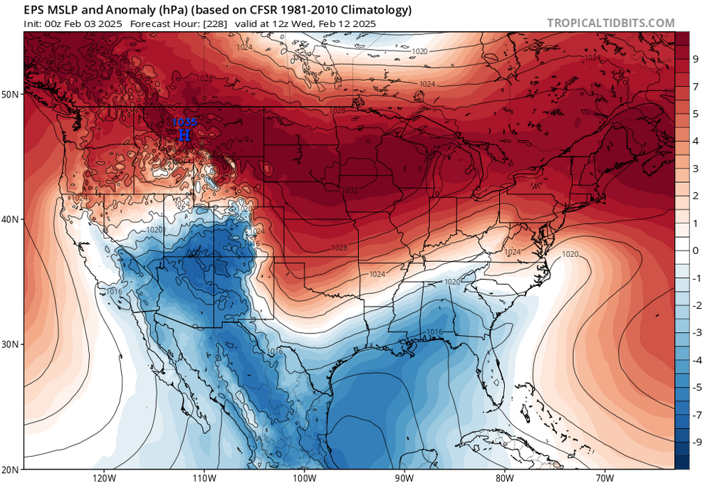
Looks like a temporary blip. The feb 11-12 storm is there on the means, and milder air comes right after as the cold high moves offshore, then another cold air push in the 14-15 day range
-
Ice ice baby
-
Forecast low of 46. I’m at 36 now. Temps have been underperforming for 3 days now
-
So fun to get a FOLKS in here, whether it pans out or not!
-
Usually we see 3/50 members WITH a hit, and that's when we get interested in tracking. But 47/50? Geez
-
This is the best ensemble signal I have seen in a long time, if ever, for gulf/coastal low development at 9-10+ days out.
-
High of 36, lower than forecast
-
Don’t have much to add to the commentary about the ensemble snow means between feb 10 and 17. Big signal. But don’t have a well defined threat yet. It’s like blurry double vision from afar, and then as it gets closer, it’ll congeal into a single big threat and then maybe a smaller follow up that can’t be seen this far out. And that doesn’t even include what happens past the 17th, for which the euro weeklies have gotten colder.
-
The only other case I can think of is 1972-73, which It had a more negative PDO than any other analogs.
-
Stuck at 32
-
Paging @Bob Chill
-
Again, I’d rather be on the north side of a storm at range than riding the fall line. Like Aldie says
-
Hard to tell with the main line because its so noisy. But the group of yellow lines show more forward progress in the new run


