Terpeast
-
Posts
6,687 -
Joined
-
Last visited
Content Type
Profiles
Blogs
Forums
American Weather
Media Demo
Store
Gallery
Everything posted by Terpeast
-
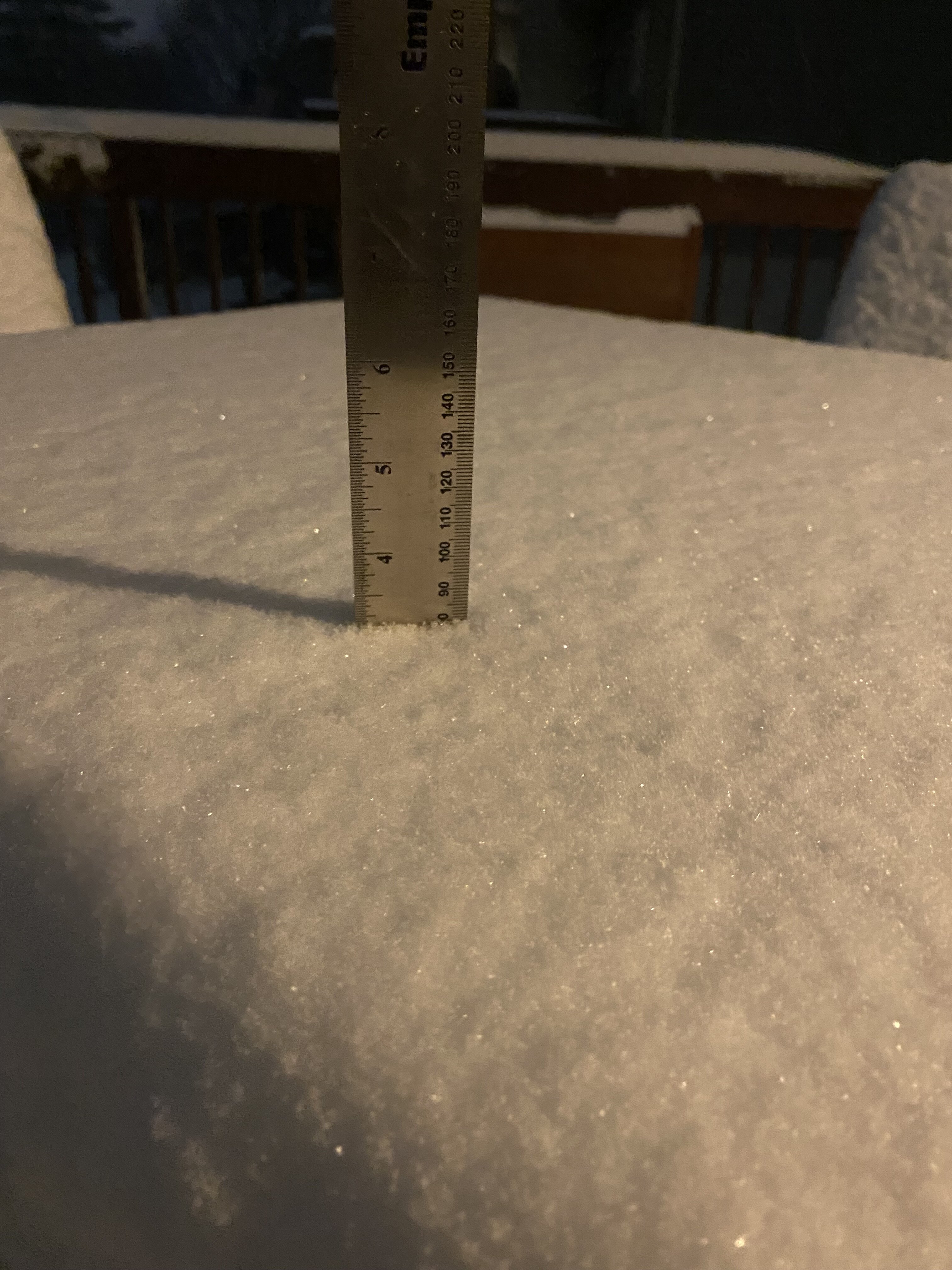
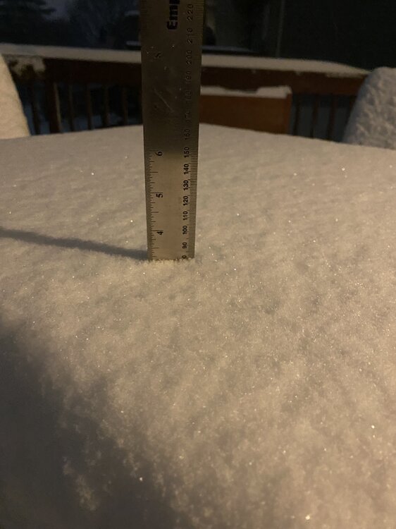
You’re about 0.5” ahead of me. I was just inside the northern edge of the mod-heavy bands. Still snowing steadily here It looks great out there!
-
Just over 3” and still snowing decently. Radar to the west tells me its not quite over yet.
-
Still coming down good in ashburn. Almost 3”
-
Haha how much you got so far?
-
The GFS was onto something when it insisted on a 12”+ jack. Hopefully I get to 6” in ashburn. I’m almost halfway there. 5” may be more realistic
-
Hopeful sign on radar - some backfilling out at front royal heading right up this way. Maybe that helps me hold the rates more or less at least through midnight or early morning hours
-
You’ll probably get another round when that batch from KY/WV comes through. But dunno about the rates.
-
2-2.5” already on the deck (eyeballing it)
-
Grass is completely covered, no blades sticking out. Probably an inch and a half or maybe more. Dark green pushing north of me slowly but surely.
-
Nah, I think we're gonna go till at least 06z
-
According to HRRR, the batch from KY/WV may keep things going for N VA for a while longer
-
Over an inch now, just came back from a jebwalk with my daughter. Fun times! Everything is white, streets caved a while ago
-
Bring it up here. Not that far
-
Street is about to cave. 3/4” now. Looks like an inch an hour already. Small flakes cold smoke. We’ll see how long this lasts.
-
Yeah I’m seeing that back edge pressing SE, not sure if it will slow down or backfill. So idk
-
1/2” now, sidewalks caving
-
Yeah I was surprised to see myself inside the meso being in eastern loudoun. What do you think they saw in order to extend that up here and further north?
-
1/4” so far
-
Coming down harder, everything except roads are whitening up. 30.9
-
But surprised I'm in the meso 1-2"/hr area, too. Despite light returns, it's coming down good here. Borderline moderate. 31.3
-
grass beginning to cave
-
Mulch about to cave. 31.8
-
18z HRRR wetter for DC metro! 4-5". Sharp cutoff right over me though.
-
solid light snow, road is wet and no stickage yet. 32.9/25.9
-
Light snow 34/22