

Terpeast
-
Posts
6,687 -
Joined
-
Last visited
Content Type
Profiles
Blogs
Forums
American Weather
Media Demo
Store
Gallery
Everything posted by Terpeast
-
You're joking, right? That's a HECS signal
-
Ain't she a beaut. Let's enjoy for the next 6 hours.
-
The onset is only 1 week away almost to the hour!
-
Wow! #lockitin
-
Euro was having some issues so they’re releasing on the old schedule this run
-
Just fell short of 60 before temps got smacked back down into the low 50s
-
Totally fine with this. We all know it won't pan out this way verbatim. Good spot to be in actually at this range.
-
Also thinking the impacts will be moderate (maybe major) in the favored far NW places, especially in the valleys. Here? Maybe more like a nice glaze on trees to pretty things up for a couple of hours, and then it'll melt off pretty quick. Still be careful out there, all it takes is one little slick spot to break a hip. Thinking 2 hour delay for Fairfax Co. Loudoun will be a tough call because we span way out west towards the blue ridge where things could get bad in the morning.
-
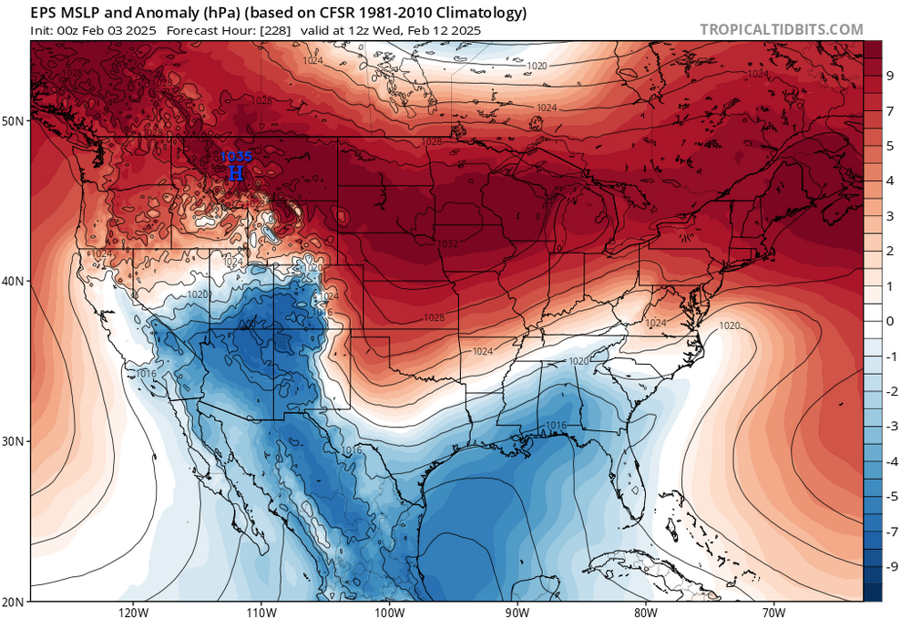
Looks like a temporary blip. The feb 11-12 storm is there on the means, and milder air comes right after as the cold high moves offshore, then another cold air push in the 14-15 day range
-
Ice ice baby
-
Forecast low of 46. I’m at 36 now. Temps have been underperforming for 3 days now
-
So fun to get a FOLKS in here, whether it pans out or not!
-
Usually we see 3/50 members WITH a hit, and that's when we get interested in tracking. But 47/50? Geez
-
This is the best ensemble signal I have seen in a long time, if ever, for gulf/coastal low development at 9-10+ days out.
-
High of 36, lower than forecast
-
Don’t have much to add to the commentary about the ensemble snow means between feb 10 and 17. Big signal. But don’t have a well defined threat yet. It’s like blurry double vision from afar, and then as it gets closer, it’ll congeal into a single big threat and then maybe a smaller follow up that can’t be seen this far out. And that doesn’t even include what happens past the 17th, for which the euro weeklies have gotten colder.
-
The only other case I can think of is 1972-73, which It had a more negative PDO than any other analogs.
-
Stuck at 32
-
Paging @Bob Chill
-
Again, I’d rather be on the north side of a storm at range than riding the fall line. Like Aldie says
-
Hard to tell with the main line because its so noisy. But the group of yellow lines show more forward progress in the new run
-
Low of 19
-
Great sign that major ensembles are beating the se ridge down while linking the scandi and AK ridges for -AO at the end My guess is that we flirt with the boundary for light mix/rain over the next 10 days, then we get colder
-
0.53” so far have not recorded a 60 degree day this January. Average temp will finish 38/22 with a mean of 30F this month. Very decent
-
There it is, come to papa That little vortex hugging the AK coast gonna ride over the ridge down into the middle US and dig… that’ll be our threat if this pans out verbatim


