Terpeast
-
Posts
6,687 -
Joined
-
Last visited
Content Type
Profiles
Blogs
Forums
American Weather
Media Demo
Store
Gallery
Everything posted by Terpeast
-
That 12z GFS run gives me goosebumps. Like Heisy said, it's so close.
-
Yeah I think we all know there's a reason these KUs happen once or twice every 10 years... or even longer.
-
Today's euro weeklies don't look torchy in Feb here, fwiw
-
Well I hope I’m wrong about a torch Feb. That was my thinking all along and it hasn’t really changed
-
SPV looks like it will tighten up at the end of the month or early Feb. That means we really need to score in the last 2 weeks of Jan to get anywhere near climo. My snowfall contest prediction is only about 50-60% of climo, and even that is iffy. Should reach that with the shots the models are taking at us, but climo? We need a big one to get there.
-
MJO 7 is a transition phase which is usually a precursor to our biggest storms (but not always of course).
-
Good news, both ens and op models are pushing MJO into 7 by the 20th to 22nd. That will help us later in the month into Feb.
-
We should root for a slower wave. Cmc trended slower last 3 runs, and 6z gfs (what we want) is slower than 12z gfs. Too fast, and the phase is missed and or too late
-
Big miller a coastal at 10-11 days out. Borderline rainer verbatim, but it’s something. Very promising Euro more of a miller b skipper
-
It snowed on my son’s birth date.
-
Yep. At 8-10 days out, it won’t take much. We’ve seen way bigger changes at upper levels at less than 5 days out. Unlike some certain folks, I don’t care what the surface shows at that range.
-
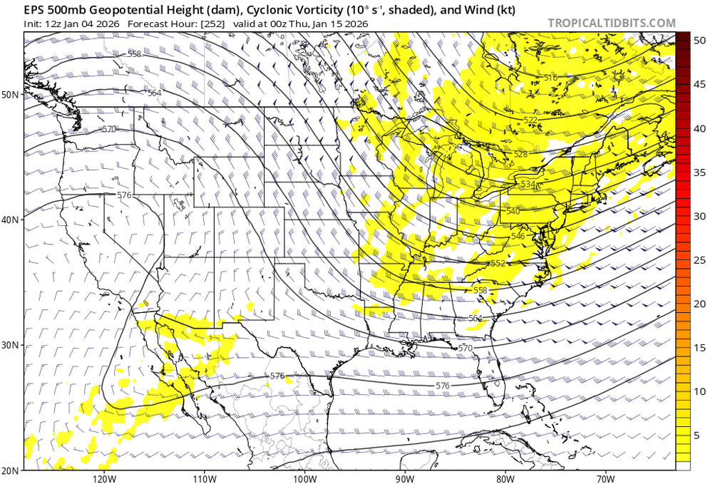
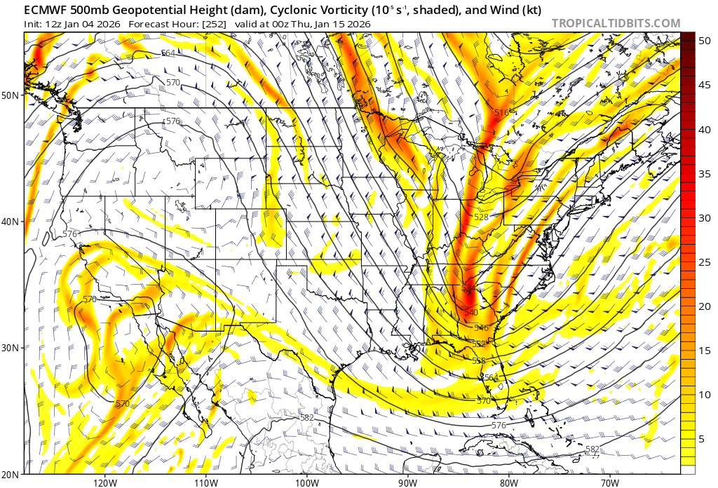
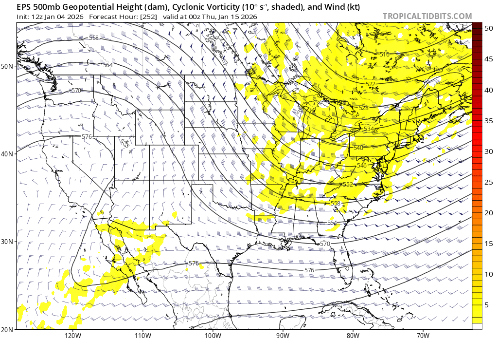
HH gfs still trying some shenanigans on the 15th. Big -NAO block. We’re not out of this yet.
-
Cue the grandpa Simpson door meme.
-
that's because the 500mb wave is positively tilted on that one. Need a neutral or neg tilt. But at this range it won't take much
-
That should help us later when the PNA goes negative after a brief spike into + territory.
-
I'm starting to worry that the Jan 14-17 window is getting can kicked a bit since the 6-10 day eastern trough is getting less strong and the ridging over it is stronger. But the good news is MJO is starting to curve into 7 around day 15. So the pattern change after the 18th is probably real. Still not counting us out for the mid-Jan system, but there could be temp issues east of the BR.
-
And a lot of misses, still. Looks 50/50 or 40/60 to me.
-
It seems for now we have two discrete threat windows on the dates you said. I know some are really down on January because the ens snow means are so low, but I'm not. We have chances. Not saying they'll "definitely" pan out though.
-
Both gfs and euro take a few shots at us after Jan 11. Ensembles look fine.
-
12z eps / 18z gefs both have a retrograding +pna that becomes -epo. Did this happen a lot in 2013-14, or in more recent la nina winters before 2022? I wasn’t around much except for 2016
-
Classic +PNA on gefs starting jan 12-13. Pattern supports the OP
-
Lets see if there’s gefs support for jan 15th
-
Looks decent to me, and that things haven’t really trended worse at all.
-
And remember, it only takes one!
-
For fun, if anyone hasn’t cliff dived yet - 12z euro tries something mid month. Tilt that vort a bit more negative and boom. has ensemble support, too