Terpeast
-
Posts
6,687 -
Joined
-
Last visited
Content Type
Profiles
Blogs
Forums
American Weather
Media Demo
Store
Gallery
Everything posted by Terpeast
-
I think our chances will come in smaller windows. I'd break that big window up into smaller ones, like a week in Dec, two weeks in early Jan, a week or so in Feb, etc. I don't expect multiple chances in a large window, especially now that models are starting to trend warmer in both medium-term and seasonal forecasts. But all we really need is one good hit within one of those windows to make it a winter (or storm) to remember.
-
Maybe overly simplistic, but we’re now going through the warm MJO phases, which means a warming/warmer signal through at least mid-november. If the full MJO cycle is 30-60 days, say the average is 45 days. Then we should go through the cold phases from mid-november through early december. Then warm phases again from early dec through new years. That puts us back in cold phases from new years through the third week of January. That sounds similar to Jan 2022. Just thinking of it in terms of a clock, except counter-clockwise. But that’s assuming the MJO won’t just die into COD at 7 and then resurface at 4, which would be a death sentence to snowfall prospects south of i-90.
-
Yeah, and we’re not even sure if this nina will get that strong by ONI either. Over in the MA forum, we were discussing how we should actually root for a stronger late peaking nina over a neutral because we’ve had better winters during the former.
-
75 here
-
Yeah, if the newer runs are correct and the MJO spends the rest of this month at an amplitude of 2 or higher, then this autumn will be grouped with the colder la nina winters by this measure (other measures may diverge though)
-
Decent cool week. 5 straight nights with lows in the 30s in mid October. I suspect this is the kind of BN stretches bracketed by much AN days we’re likely to see this winter. It’s been bone dry though.
-
The Euro had it this strong a while ago, and the gefs had it much weaker. Seems the gefs “caved” and the mjo 5-6 wave is going strong. It seems to be around 2 in amplitude now, and going even higher in the short term.
-
Interesting on the relationship between IO forcing and the AO. And maybe more volatility will keep things at least somewhat interesting for the winter.
-
That’s quite an explosion in snow cover!
-
I’ll go with the under. The SE will likely end up drier than normal, meaning fewer coastals. But that doesn’t mean we won’t get a lot of rain from cutters or double barreled lows.
-
There was some thick frost on my car roof. So it might have gone even lower than the 38 reported at the nearest pws.
-
Low of 38
-
They can, but with a strongly negative PDO the surprises will be few and far between. Here’s hoping we get at least a couple of well-timed rogue southern track storms.
-
Low of 37
-
If the models are correct, the NAO will be positive for the rest of the month and may actually finish neutral to slight positive for this October.
-
FWIW, all models show a healthy MJO 4-6 pass from now through end of month as per RMM charts. Amplitude about 1.5 up to 2 or a bit more.
-
Got down to 42. Seems the Euro got it right for mby
-
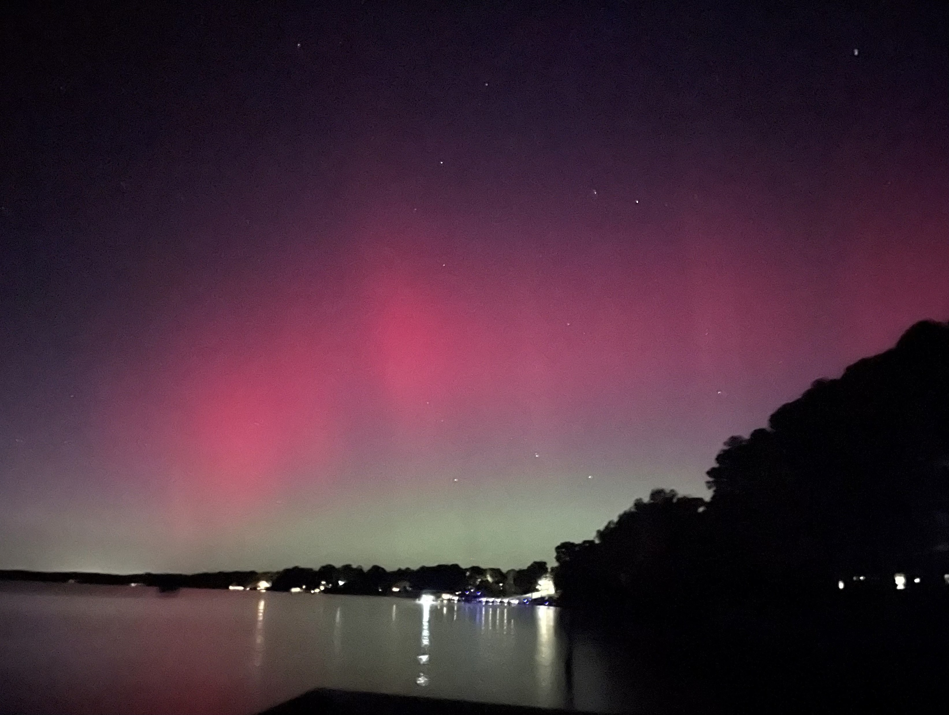
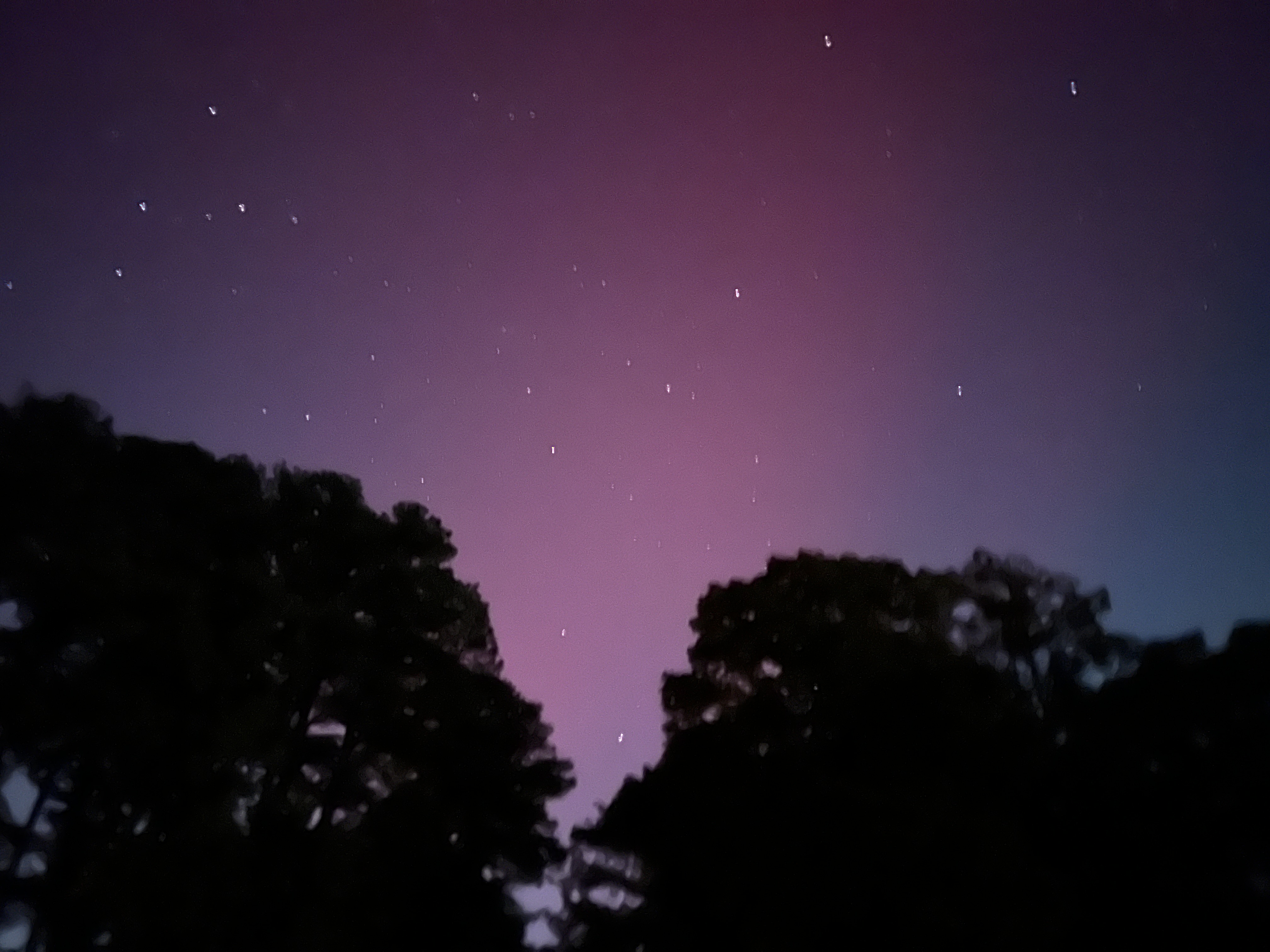
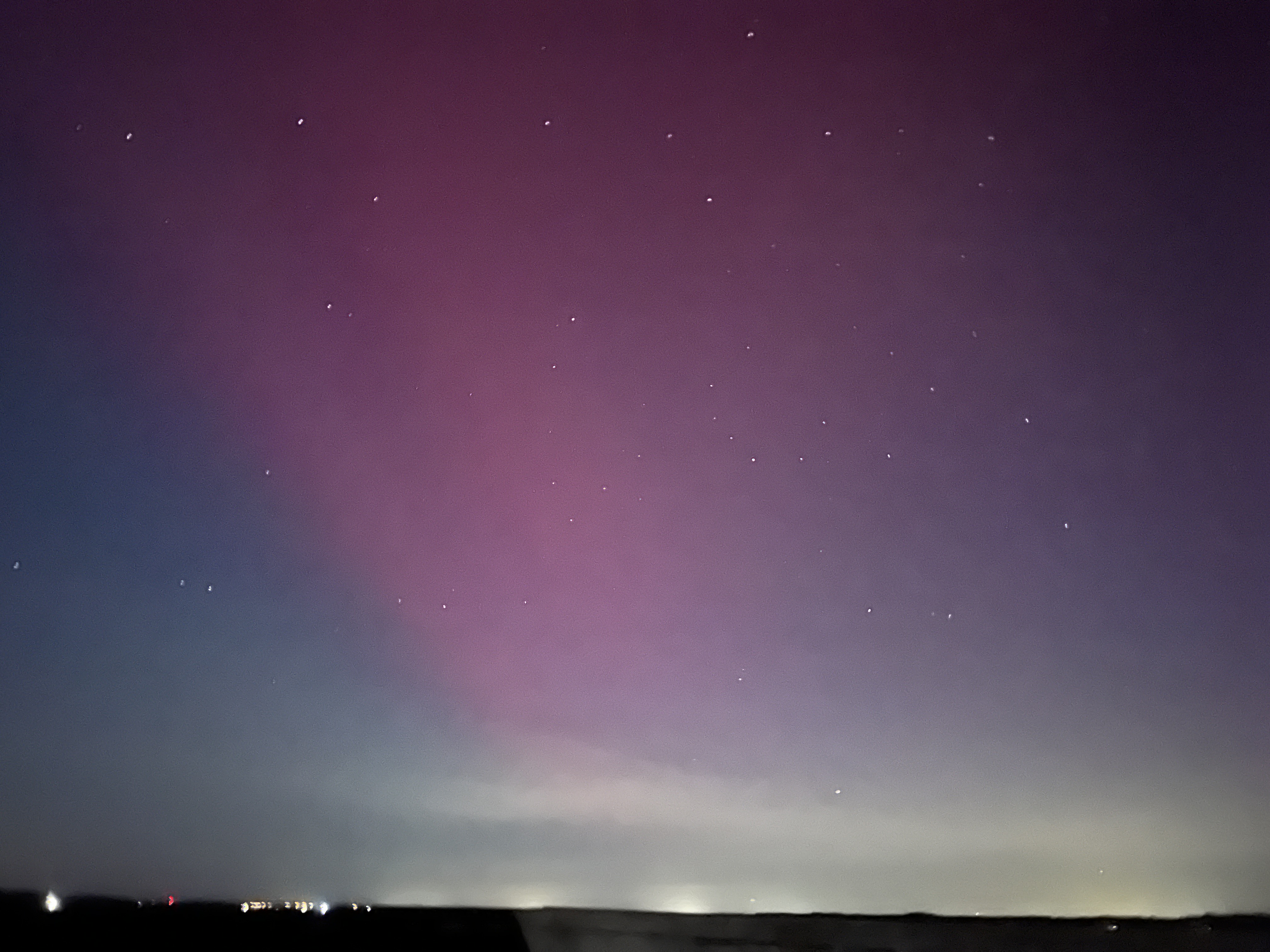
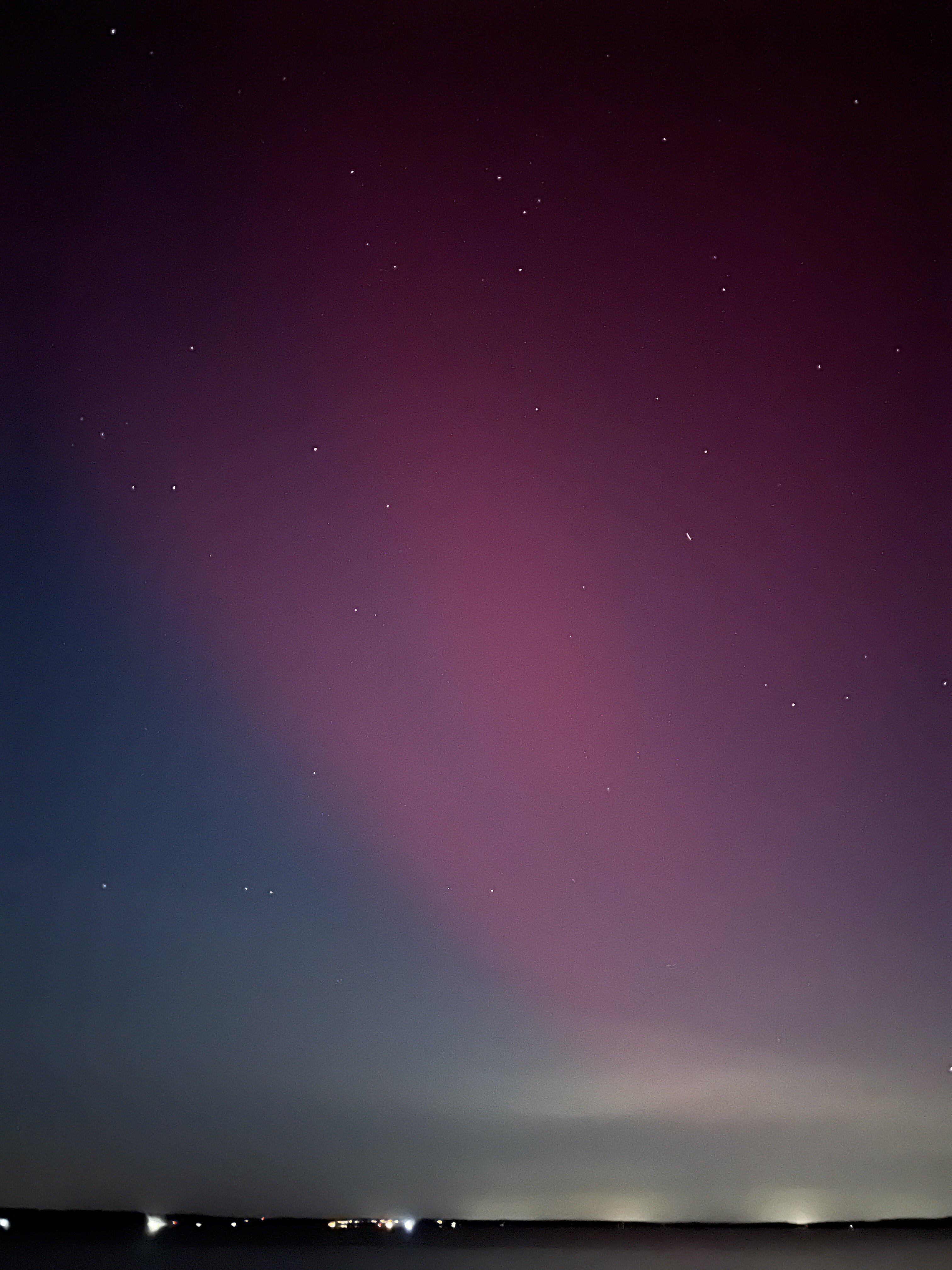
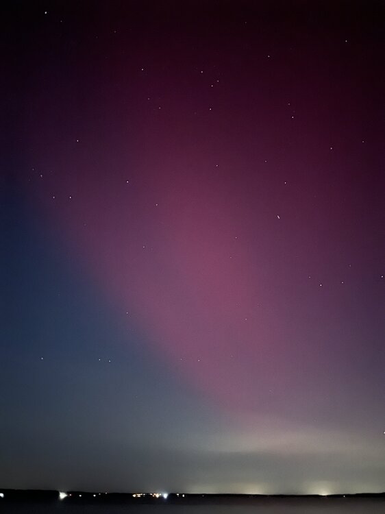
This was the best pic I’ve taken. Southeast VA

-
I’m with bluewave here. I’ve been using SQL for 12+ years, including window functions. It makes more sense to non-technical audiences to portray data like this (I made these values up): Year | Avg Temp | Rank 2022 53.6 1st 2003 53.4 2nd 2016 53.0 3rd Tie 1977 53.0 3rd Tie 2005 52.9 4th Than this: 2022 53.6 1st 2003 53.4 2nd 2016 53.0 3rd Tie 1977 53.0 3rd Tie 2005 52.9 5th (note there is no 4th place)
-
From Jamestown VA on a camping trip with the family. Always wanted to chase north for aurorae and even go to Iceland or Norway for that. But I never thought I’d see it in SE VA of all places.


-
Looking forward to seeing more details of your analysis. I’m curious about the distribution of snowfall when you say the mean prediction is 10.2”. Whether the median is also close to that, or whether one season is skewing the mean. In my case, my analog set was fairly balanced where the median was close to the mean, with one outlier on the high side and one on low side.
-
42.8 for the low
-
Yeah it checks out with my +2 to +3 call for much of the east, but when warm anomalies happen, they are often more extreme than forecast. My hope is that we can get cold air outbreaks to offset some of the warmth.
-
Sarasota obs gust to 93 before the eye
-
43