tamarack
-
Posts
16,290 -
Joined
-
Last visited
Content Type
Profiles
Blogs
Forums
American Weather
Media Demo
Store
Gallery
Everything posted by tamarack
-
Club trail thru our woodlot looked nice and smooth on my walk yesterday. Nothing doing here atm, echoes are traveling NNW instead of N or NE, thus passing to our west. Unless that direction changes or the system moves farther NE, I smell a bust. (However, GYX forecast for here has the majority falling after dark.)
-
First real flakes here at 10:05 (had some teeny flakey things about 7) but no accum yet, sill too light to stick at 33°.
-
The last hurrah? Putting all the eggs in the Tuesday 3/14 basket
tamarack replied to Ginx snewx's topic in New England
Dublin/Jaffrey area in NH, I'm less familiar with the VT towns. For a hairy drive in NH, take Rt 101 past Temple Mountain. -
Took the season's first core last Monday": 9.31" from a 30" pack. Depth was down to 7" after the upper 40s New Year's Day but even that had about 3" LE. From then thru 3/6 we had about 8" precip (62" SN) with the depth peaking at 36" on 3/4, and even with the much AN temps there was more settling than melting.
-
The last hurrah? Putting all the eggs in the Tuesday 3/14 basket
tamarack replied to Ginx snewx's topic in New England
Looks like 4-5" up my way at 10:1 ratio. Fringe of the storm, full daylight, mid-March - maybe 5:1 with little accum except on the old snow. We've already reached the full-season snowfall, so I can't complain. (Though I may, anyway.) -
Gorgeous near-calm day on the Flying Pond ice, though the breakable crust made for tough walking until the sun softened it late morning. Not many strikes but took home an 18" bass & 13" brookie. Then a fave birthday supper, meatloaf, baked spuds, and my wife even bought me some broccoli. (She hates broccoli.)
-
The last hurrah? Putting all the eggs in the Tuesday 3/14 basket
tamarack replied to Ginx snewx's topic in New England
And we take our 6-7", though it would pinch a bit knowing that 4 times that much fell less than 40 miles away. Shades of Feb 13 and Christmas night 2002. Will the qpf cutoff be that dramatic? -
For a storm that passed barely inside the BM, it was very nice here in the foothills, with 19.9". Then another 16.5" a week later. Only 2001 had more March snow.
-
The last hurrah? Putting all the eggs in the Tuesday 3/14 basket
tamarack replied to Ginx snewx's topic in New England
That sequence Jeff posted would obliterate Cape Cod - storm force easterlies thru 3 full tide cycles? Might have Provincetown Island if that verified. -
Would prefer what happened 2 weeks earlier. The April Fool’s Freshet 1987 redux?
-
That's our part of the neighborhood, our 1/10-acre lawn surrounded by trees 60-80' tall. Most are hardwoods but even those trees block 25-40% of sunshine. Come April the fields along Industry Road will melt down to grass while there's still a foot or more on the garden. That and an angry, anti-snow guy who shovels everything out onto the street to melt on sunny days. That's Fort Kent about mid-April. Once most of the lawn is bare, all the piles along driveway and road get blown onto the pavement, sometimes covering the entire adjacent lane with 6-12" slop.
-
2nd pic looks something like your avatar, except that it's real size.
-
That Parsonsfield cocorahs observer also reported 8.0" on the 4th, so if the 2 obs are accurate (and they seem to be logical to me) that 18.5" total looks like the jack.
-
27" here for that period, as we got much less from the little events on Feb 24 and 26. An hour of 40:1 feathers late last afternoon brought the storm total to 12.1". Pack was 36" then, settled an inch overnight.
-
Was brighter here 30 minutes ago. Radar says the northerly patch will send some flakes here, maybe just for show, not accumulation
-
Starting on the other (2nd) foot?
-
Snow dropped to scattered flakes about 1:15. Had 7.0" of 15:1 pow after 7 AM for a total of 11.7" with 0.90" LE. (Unless there's a bit from the ULL.) Final 2" was dime-size feathers, probably 20:1 or higher, even though it was a bit moist as the temp approached 32. Stake at 36" and season 87.7, within a few tenths of the season average and the most since 2018-19. All the above in a bit over 9 hours.
-
Passing 9" here, slight chance the 6-12 forecast busts low, still 26-27° with mod/hvy snow. Stupid gray squirrel tried again, unsuccessfully, to access the bird feeders by launching from 8-9 feet above the pully system, probably at first light when there was an inch or less new. It did manage to dislodge the spreader, so the feeders were hanging almost 3 feet below the upper line. I shoveled a square meter without finding the thing; it likely got catapulted well away from being below the feeders. Stole a spreader from the clothespin bag, will see the first one sometime weeks later. Edit: That clip from NS showed sideways snow, lots more wind than here.
-
Light wind and 8" here, passing 33" at the stake. Good accumulation despite small flakes and modest ratio. At 4:30 there was <1/4" with lgt snow then S++ 5:30-7:15, probably 4" during that period. Reported 4.7" with 0.44" LE at 7, another 3"+ since then, currently high-end moderate with vis. ~3/8 mile. Was 1/8 mile at 7.
-
P&C for my area currently is 6-12; the issue here is a sharp qpf cutoff as temps should be fine. The 90/50/10% totals for Farmington are 5/9/17, a wide span for about 12 hours before first flakes. However, just 65 miles north in Jackman those numbers are zero/3/7. Would only take a relatively small wiggle to create a bust - in either direction. I'm glad I worked with trees, as they tend not to move around as much as snowfall bands.
-
Not always bad - Jan '15 dumped 20" of that stuff on our driveway, 9:1 snow at single-digit temps. (Not that the coming event bears any resemblance to that monster.)
-
Cat 4?
-
Odd little 2.7" storm yesterday, but nicer than the forecast 2 days earlier - snow-to-rain and 40°. Snow became light bout 11 AM, beginning a 6-hour period of continuous snow with no accumulation, including 2 hours of lovely nickel-dime feathers 12:30-2:30. Had the temp during those hours been 20s rather than 32-33 (and if it was January not March), we'd have gotten about 2" more. Towns just to our west - Farmington and Temple - had 4-6" but maybe not as pretty as here.
-
Saw noon news snow maps on 2 channels. Both had 8-12 as tops and for much the same area. However, one had my area centered in the 3-5 color while the other had us in the middle of 5-9. GFS vs. Euro?
-
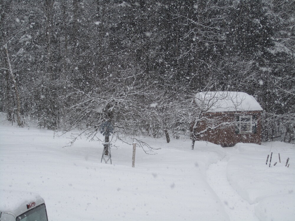
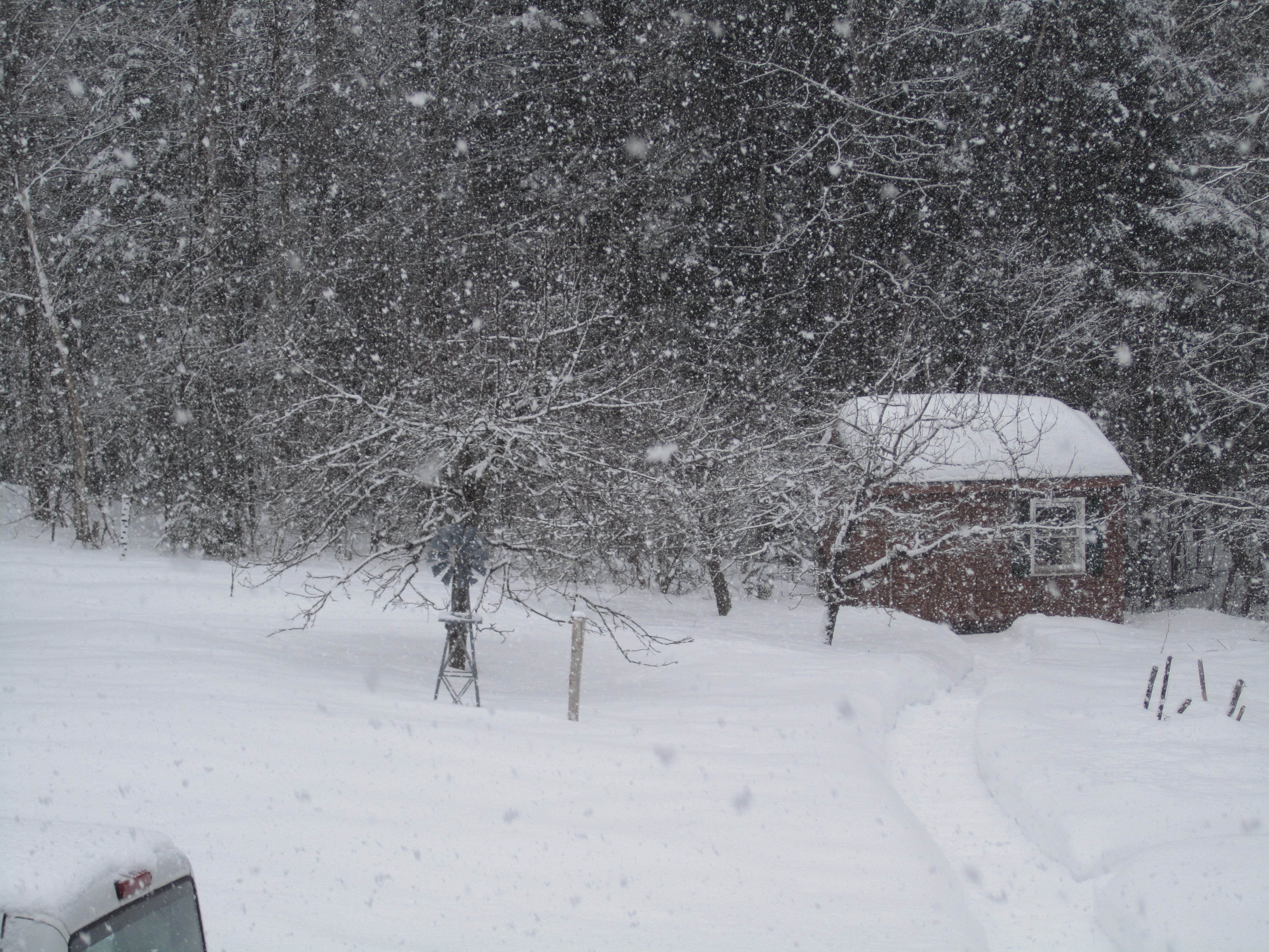
Last bit of decent echoes about to move away here. Pic taken 10:45 this morning. May reach the low end of the 3-5 forecast though it's settling as it falls.