

Dark Star
-
Posts
1,375 -
Joined
-
Last visited
Content Type
Profiles
Blogs
Forums
American Weather
Media Demo
Store
Gallery
Everything posted by Dark Star
-
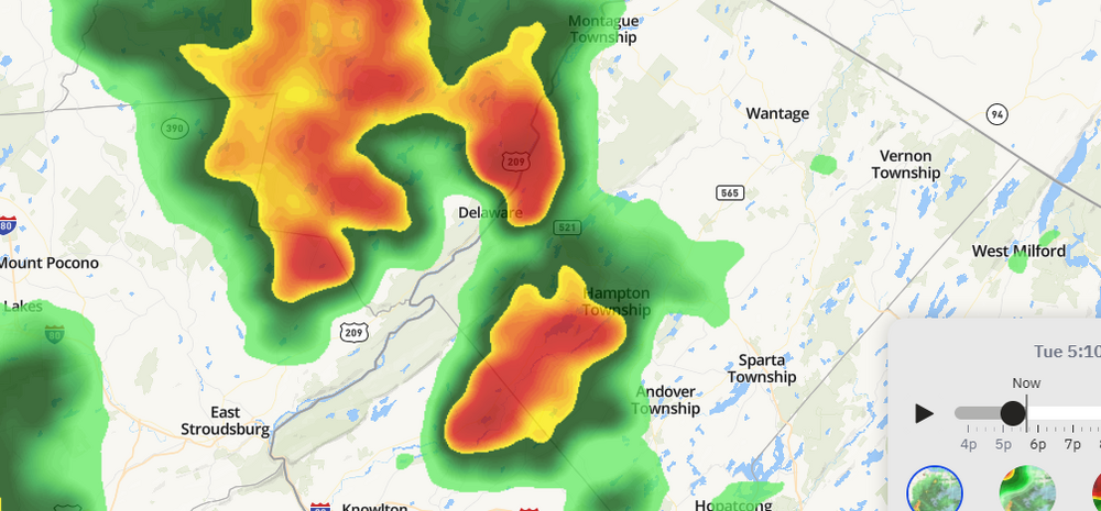
Did you see the hail accumulation? It was half a foot deep?
-
They first said that there were no natural enemies, but I think I heard after the fact that indeed they did have new natural enemies here in the US.
-
With the nature of tornadoes, I don't think we can save many more lives. If you warn someone of it coming, and it never materializes, people become numb to the warnings. And in hurricanes, many people have to be pulled out of their homes to get them out. The whole idea of blanket cutbacks is to see what is really needed and to find ways to become more efficient. Everyone will rationalize that their department, their specific area is the most important. The only way to find out what is most essential is to make cuts across the board and restore the areas that become obvious at a later date (hopefully sooner than later). Also, many of the proposed cuts do not occur, or are negotiated down. The government is too big to be able to surgically remove what is true waste. Pharmaceutical companies are a good example. There used to be people going to work at was once called "country club" environments, read a newspaper, and fall asleep.
-
Isn't the priority of a major airport to move people? Why haven't they redirected or reduced cargo planes at Newark if there is such a problem there? It shouldn't matter if Fedex or UPS have major contracts. In a state of emergency as it seems Newark Airport is in, shouldn't the FAA step in and at least try to relieve some of the air traffic? Oh boo hoo, we get our packages a day or two later because Fedex flights are redirected to JFK, LaGuardia or Philly...
-
Thunder and a light rain starting to fall in Tremley Point section of Linden, NJ
-
If they can outlaw gas stoves, they can outlaw energy-wasteful air conditioning?
-
Alaska rivals Hawaii as the most beautiful states, so not too shabby there...
-
I guess I will continue the unrelated banter by stating I wish there was a way to respond to the banter, but linking it to a more general "thread", so as not to continue to clog up the topic?
-
-
It really doesn't matter. We use all historical data for the minimum/maximum records for any specific date, but only use the previous 20-30 year average for the day's average temperatures? When people hear heat index temperatures, or wind chill, they think that is the actual temperature, so, it really doesn't matter,because all the really good looking girls would still go out with the guys from Mohawk cause they've got all the money!
-
Perhaps local major media "meteorologists" should climb aboard and not use Central Park temps? I know, wishful thinking...
-
Union wage, etc.,closer to a billion. NYC building costs are astronomical compared to the rest of the country. I forget the difference of the cost of Citifield being built with a dome vs. no dome, but it was quite large. It would cost $800 million to put one on now...
-
They don't have to tell anybody. Perhaps a group of us can go in there, with a ladder, with nobody suspecting anything?
-
It's NYC.
-
Maybe not a true dry slot that we seem to see all too often; maybe a "weak" slot?
-
Right about where we should be.
-
I wonder if this was it?
-
Sun
-
Looks like, with very localized exceptions, you are going to be right...
-
It takes a while for the blacktop and buildings to heat up and absorb the sun's rays, attic spaces to fill with hot air, day in and day out. So even though April temperatures may say summer, there is a lot of all around warming to occur, not to mention heat loss during the cool dry nights.
-
Windier? Its been windy for at least the last 9 years...
-
Capitalism is not the problem, its corruption. Don't think there is less corruption in socialist states.
-
The link says scholar.princeton, so I won't be able to understand it. They are too intellectually advanced for me.
-
There are, but you may not like how they are run...
-
Used to love to hang out, outside.


