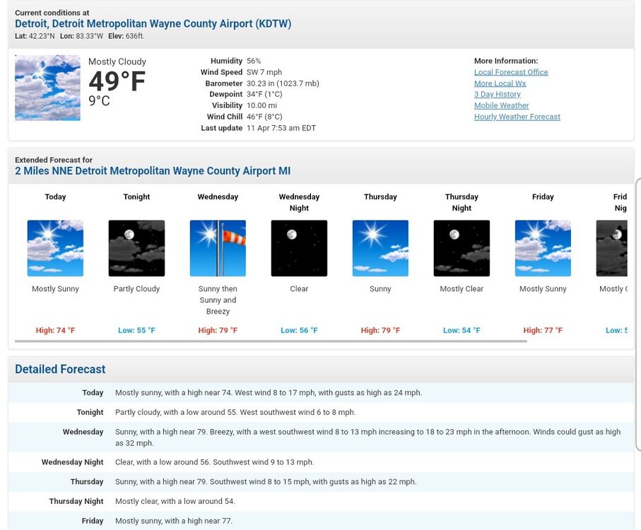
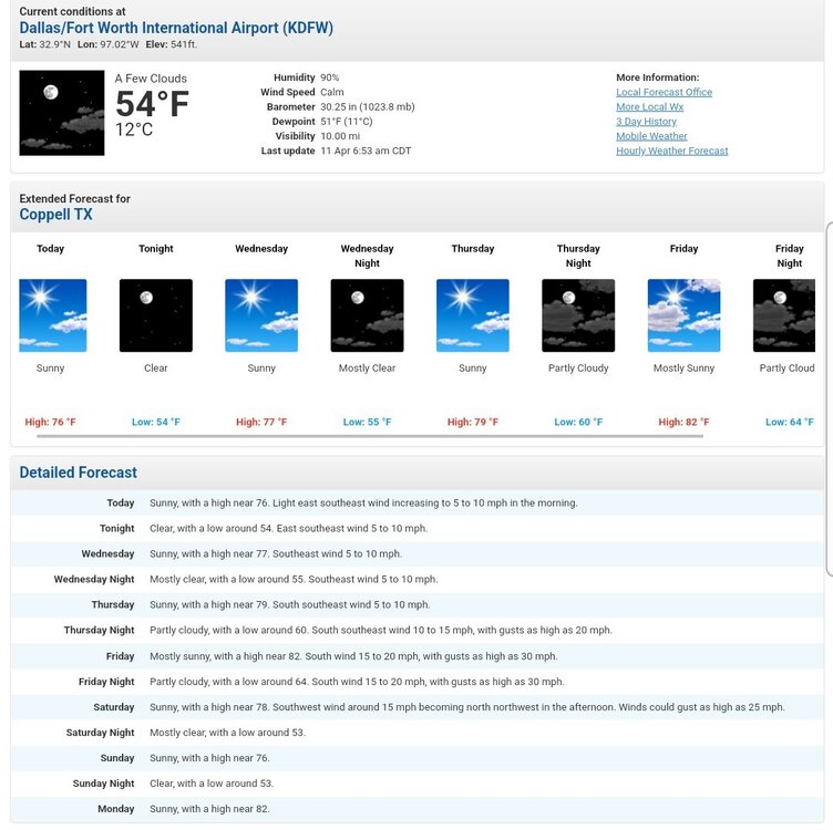
-
Posts
14,420 -
Joined
-
Last visited
Content Type
Profiles
Blogs
Forums
American Weather
Media Demo
Store
Gallery
Everything posted by Powerball
-
Welp, all the 70s are gone from my 7 day forecast after tomorrow (even got 50s in there). And Larry Cosgrove's thinking this pattern won't break until the week of 5/9. If that happens: But at least I got a nice hailstorm before we go to shit!!!
- 512 replies
-
- 3
-

-

Severe Weather 4-19-23 through 4-21-23
Powerball replied to cheese007's topic in Central/Western States
Severe Thunderstorm Warning TXC085-231-210415- /O.NEW.KFWD.SV.W.0163.230421T0326Z-230421T0415Z/ BULLETIN - IMMEDIATE BROADCAST REQUESTED Severe Thunderstorm Warning National Weather Service Fort Worth TX 1026 PM CDT Thu Apr 20 2023 The National Weather Service in Fort Worth has issued a * Severe Thunderstorm Warning for... West central Hunt County in north central Texas... Collin County in north central Texas... * Until 1115 PM CDT. * At 1026 PM CDT, a severe thunderstorm was located over Plano, moving northeast at 40 mph. HAZARD...Ping pong ball size hail. SOURCE...Radar indicated. IMPACT...People and animals outdoors will be injured. Expect damage to roofs, siding, windows, and vehicles. * Locations impacted include... Plano, Garland, McKinney, Frisco, Richardson, Allen, Wylie, Sachse, Murphy, Anna, Fairview, Princeton, Lucas, Melissa, Parker, Farmersville, Lowry Crossing, Merit, St. Paul and Blue Ridge. PRECAUTIONARY/PREPAREDNESS ACTIONS... For your protection get inside a sturdy structure and stay away from windows. && LAT...LON 3340 9640 3338 9638 3334 9639 3335 9634 3319 9617 3298 9659 3299 9684 3309 9684 3340 9656 TIME...MOT...LOC 0326Z 231DEG 33KT 3303 9675 HAIL THREAT...RADAR INDICATED MAX HAIL SIZE...1.50 IN WIND THREAT...RADAR INDICATED MAX WIND GUST...<50 MPH $$ 30 -

Severe Weather 4-19-23 through 4-21-23
Powerball replied to cheese007's topic in Central/Western States
We just got slammed with hail. First true hailstorm since arriving to Texas. -

Spring 2023 Medium/Long Range Discussion
Powerball replied to Chicago Storm's topic in Lakes/Ohio Valley
I'd argue the same could be said for some in this subforum about winter after the 2007 - 2015 period... -
The upcoming pattern will stilll yield solidly below normal for this time of year for much of the country east of the Rockies (with some exceptions). Combined with what is also looking to be a wet pattern with extensive cloud cover, this period won't be kind for outdoor activities and will require heating in many areas. So while it may not be unusual or unprecedented, it's understandable why some folks would be irritated by it. Also, those 2023 positive departure will largely be wiped out by the end of the momth.
-
Ugly-looking medium/long range for the Eastern 2/3rds of the country...
-

Spring 2023 Medium/Long Range Discussion
Powerball replied to Chicago Storm's topic in Lakes/Ohio Valley
Yep. Even down here, it's looking ugly. Was hoping we'd be done with the 60s until next winter... -
Different strokes... I'm a *BIG* city boy through and through. I stayed in Nashville for the 2017 solar eclipse. I can't do rural areas, for a number of reasons...
- 512 replies
-

Spring 2023 Medium/Long Range Discussion
Powerball replied to Chicago Storm's topic in Lakes/Ohio Valley
-

Spring 2023 Medium/Long Range Discussion
Powerball replied to Chicago Storm's topic in Lakes/Ohio Valley
-
On the way back yesterday, still didn't see any signs of life until just north of Dayton. That said, I'd say leaf out is about 95% complete here in Dallas, and they really started to pop out once I got to Nashville.
-

Spring 2023 Medium/Long Range Discussion
Powerball replied to Chicago Storm's topic in Lakes/Ohio Valley
Honestly, the GL/OV has been long overdue for an April torch. -
For me, knowing I get to go back to Dallas for the rest of this season, this bust doesn't really sting. It was always going to a bonus, if anything.
-
Gotta agree with Palm Dude...
- 512 replies
-
- 2
-

-
000 FXUS63 KIWX 051526 AFDIWX Area Forecast Discussion National Weather Service Northern Indiana 1126 AM EDT Wed Apr 5 2023 An updated weather briefing has been published to depict a declining tornado and hail risk. Squall line that has moved in from the west has weakened and MUCAPE is declining. Cluster of storms moving through central IN will further muddy the waters so to speak. So, have removed the "kitchen sink" from the forecast grids and have instead offered damaging wind as the primary threat, should convection become reinvigorated with pockets of clearing noted on satellite.
-

Spring 2023 Medium/Long Range Discussion
Powerball replied to Chicago Storm's topic in Lakes/Ohio Valley
Just in time for me to go back. God bless Texas & the Sunbelt. Love it! -
FYP...
-

Spring 2023 Medium/Long Range Discussion
Powerball replied to Chicago Storm's topic in Lakes/Ohio Valley
Beautiful. -
-
If I'm not mistaken, he (Cyclone) is still out of town on vacation.
-
DTW poured quite a bit of cold water on the potential Wednesday, FWIW. It wouldn't be a early season severe weather setup if it came easy... 000 FXUS63 KDTX 040812 AFDDTX Area Forecast Discussion National Weather Service Detroit/Pontiac MI 412 AM EDT Tue Apr 4 2023 .DISCUSSION... On Wednesday, Southeast Michigan will be well positioned within a strongly sheared warm sector as all indications are that surface temperatures will reach the lower 70s and dewpoints rise into the lower 60s. Environmental winds across the forecast area are impressive with 55 knots down to roughly 3.0 kft agl which results in long 0-1km and 0-2km hodograph lengths. There are a number of items worth discussing that could have significant impacts on what occurs. The first item is that forecast soundings from multiple solutions favor subsidence between 3.5-7.5 kft agl. This checks out as Southeast Michigan is unfavorably situated to the upper level jet axis and absolute vorticity fields strongly show a period of anticyclonic vorticity advection during the afternoon. It is the subsidence and resultant capping inversion that maintains a narrow CAPE profile and limits coverage of shower and thunderstorms during the afternoon. In fact, the 00Z NAM solution is suggesting little to no mixed layer CAPE for Metro Detroit and virtually all of the cwa after 19Z. The second item of discussion is the upstream convection/convective remnants that are shown by some model data to stream out of MO Bootheel region through the far southern forecast area after 12Z. This subset of model solutions then becomes somewhat persistent with continued activity over or just east of the cwa as differential heating/rain cooled air mass likely augments the model convergence fields. This activity does also appear to be tied to the anticyclonic shear side off of the low level jet. So there is a considerable amount of uncertainty as to both the coverage of thunderstorm activity and what area will see the greatest severe weather threat. The best message at this vantage point centers on a conditionality of the severe threat. Given the strongly sheared profile, i.e. 0-3km SRH of 350-450 m2/s2 any deep convection/thunderstorms that become rooted within the 0-2km layer will have the potential to be of supercell mode and pose the threat for significant severe weather. This includes both a strong tornado threat and large hail of golfball or larger. Will state it again, however, the development of deep thunderstorm activity very well remains in question. So the message is one that the environment tomorrow will be supportive of significant severe weather. Given the current model consensus, it appears the greatest severe threat may be early in the prefrontal environment between 16-20Z. Additionally, the northern cwa could possibly see the greatest severe threat as steep midlevel lapse rates/pseudo elevated mixed layer holds on there the longest. Latest day2 has all of Southeast Michigan in an enhanced risk for severe weather. Monitor future forecasts for refinement to the messaging.
-
Got a nice (surprise) appetizer of garden variety t'storms this evening.
- 512 replies
-
- 2
-

-
To some extent of course, the amount of daytime heating will be a question mark as well. Stronger heating (thus greater surface instability) can make up for a somewhat underwhelming LLJ. That said, the satellite is showing quite a bit of cloud cover this morning. .
-
30% hatched wind area also added. They stopped just short of going moderate, which could happen by the next outlook. That said, the NE edge was shaven off just a bit.
-
Based on the Day 4 SPC outlook for MI/OH/IN, this thread should be expanded to 4/5.


.webp.40dd901dca6292e096ffc9f7a3a80fce.webp)


