Hurricane Agnes
-
Posts
9,336 -
Joined
Content Type
Profiles
Blogs
Forums
American Weather
Media Demo
Store
Gallery
Everything posted by Hurricane Agnes
-
February 15-16 Slop Fest/Rain/Wind OBS
Hurricane Agnes replied to Mikeymac5306's topic in Philadelphia Region
It took some time but the grassy areas and colder, untreated surfaces finally caved over the past hour. Currently have SN and temp 34, with a 0.25" coating so far, and with dp of 32.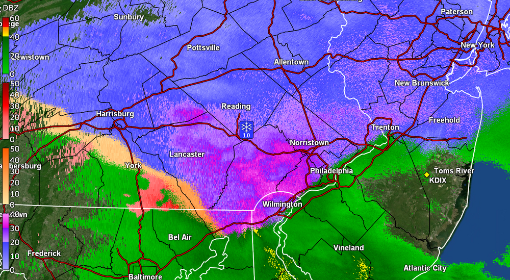
-
February 15-16 Slop Fest/Rain/Wind OBS
Hurricane Agnes replied to Mikeymac5306's topic in Philadelphia Region
Started off with virga and dews in the teens and then the moisture commenced and have flakes. Temp just dropped from 36 to 35 with dp 27 and SN-.
-
E PA/NJ/DE Winter 2024/25 Obs/Discussion
Hurricane Agnes replied to JTA66's topic in Philadelphia Region
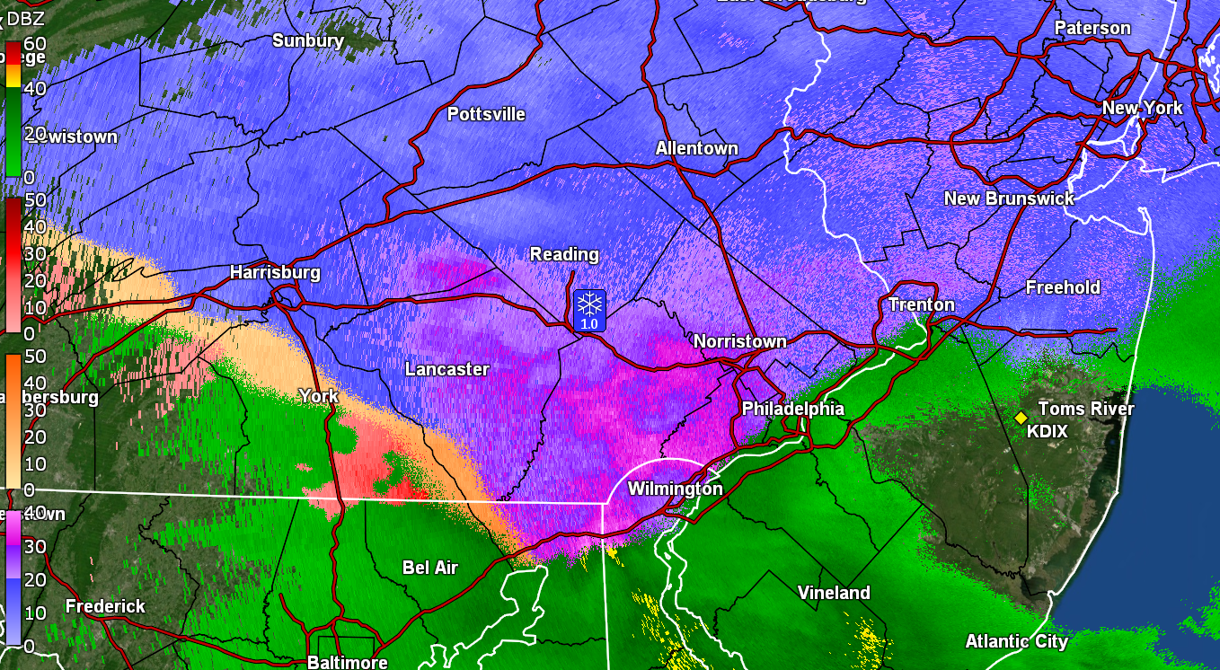
My Upper Darby sis had texted just before 7 pm to say she was getting sleet. I checked where I am here in NW Philly and only had mist and drizzle and dripping (even with radar returns over me). It did make it up to 34 here today after a 28 low and it's currently misty and 33 with dp 32. -
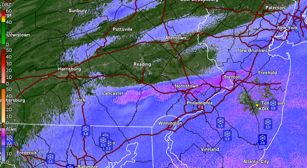
Did a 4:00 am measure and have 2.75" of relatively fluffy stuff. Looks to be good snowball-making snow. I know that round 2 will probably be incoming to add a crust before it all eventually gets rained away. Currently an overcast 28, with some low stratus and dp 28. ETA - this brings my totals just over a foot of frozen for the season!
-
Did an 8:30 pm measurement and am up to 0.75" of snow so far. It has generally been fine stuff and SN- although it has picked up with some bigger flakes now and there looks to be a "heavier" stripe across my area (and just north). Currently SN- and some fog, with temp 30 and dp 28.
-
Finally started getting some very light flakes here about 45 minutes ago. The dews had been in the teens the past day or so and finally started creeping up within the past hour to break the virga. Currently 32 with dp 24.
-
His famous words the last time - "An underdog is a hungry dog". I kept yelling that through the whole game!
-
I think it was progged to start getting windy later today too so if you still have frozen branches (and the temps have been really slow to rise), I can imagine lots of snapped branches.
-
E PA/NJ/DE Winter 2024/25 Obs/Discussion
Hurricane Agnes replied to JTA66's topic in Philadelphia Region
Seems everything on the 6z GFS is either southern-sliding, apps-running or lakes-cutting. Temp here continues to rise and am currently at 33 with dp 32. Dripping has been really slow however. -
I was looking at your chart and was wondering why that last entry of Easton Rd & W. Moreland Ave. (which is an intersection for the Willow Grove Mall, the mall actually being in Willow Grove) is listed by Horsham vs Abington (where Willow Grove is in Abington Twp vs Horsham Twp, the latter being down the road a piece). Checked the accretion early this morning from some branches and had 0.2". This would be on top of the earlier 0.25" of sleet. Temp is slowly rising and am now overcast and at 32 now, with dp 31. The earlier freezing fog/mist has been lifting. The low of 29 today so far, was at midnight.
-
Temp here is down to 29 (dp 26) and have finally been getting a mix - mostly rain but finally got sleet alternating in enough to deposit a 0.25" coating at post time. Accretion is building with the rain in any event. Bucket at 0.05" at post time.
-
Started at 32 and rain and now am at 30 and light rain = ZR. Didn't get any ip or snow preceding or during. The dp did shoot up from 18 to 25.
-
E PA/NJ/DE Winter 2024/25 Obs/Discussion
Hurricane Agnes replied to JTA66's topic in Philadelphia Region
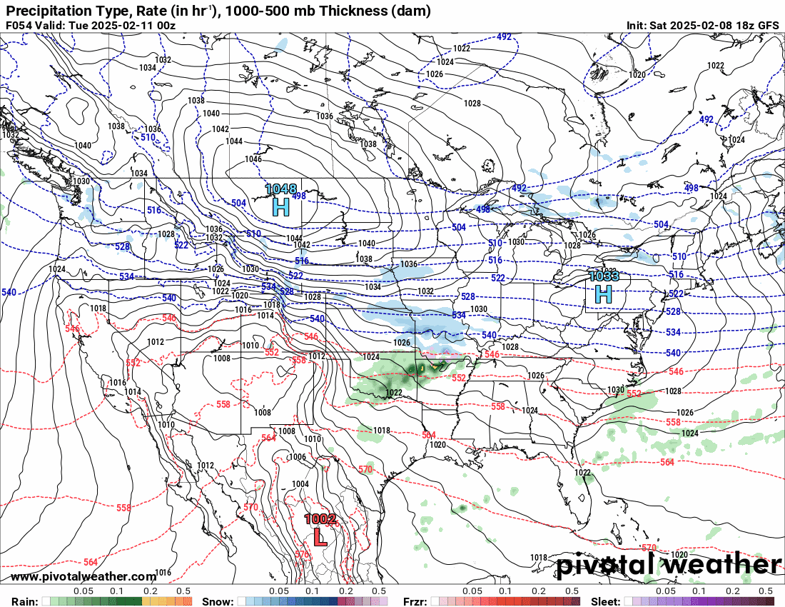
I have noticed the LR models DO tend to "sniff out" something (whether it pans out "positive" or not), but then it all gets muddled and garbled in the midrange. Looks like the 18z GFS has the Wed. storm do a slide to the south and the Friday one is a thump to rain. As an obs, it's currently overcast and 33 with dp 14.
-
BG confirmed to play! https://apnews.com/article/super-bowl-2025-eagles-graham-fb61a5abd427e84b0c79c45b67e752d3 Hope he will help make a difference as a SB winner vet.
-
E PA/NJ/DE Winter 2024/25 Obs/Discussion
Hurricane Agnes replied to JTA66's topic in Philadelphia Region
Am looking out the window right now to the east and see your namesake in all its glory! Made it up to 44 yesterday and am currently at my low of 26 for today with dp 12. Some stuff outta the 6z GFS at the end of the run.

-
Then the Vermeil years would be but a twinkle!
-
E PA/NJ/DE Winter 2024/25 Obs/Discussion
Hurricane Agnes replied to JTA66's topic in Philadelphia Region
Or better - the last lyric - Know when to RUN!!!! -
E PA/NJ/DE Winter 2024/25 Obs/Discussion
Hurricane Agnes replied to JTA66's topic in Philadelphia Region

-
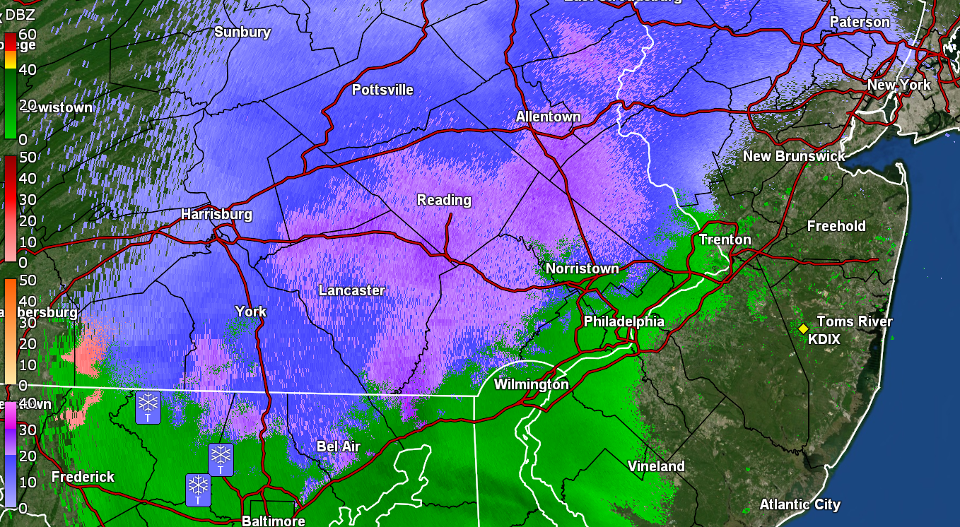
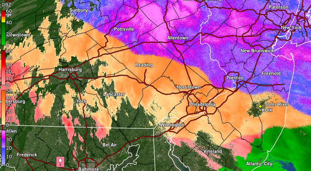
Looks like this system is pretty much out of here. I ended up with 0.1" of ice accretion but found that out back on colder grassy areas (back faces NE), there was about 0.2" IP (sleet) that had fallen overnight. None of that was out front, which was heavily treated and faces SW, or even on my patio, but was away from the house and in open areas nearby. Currently a misty 34, with some fog/low stratus, and a dp 34. Bucket tips resulted in 0.08" liquid, as anything that had accumulated in there and froze, has melted.
-
Still getting ZR (moderate) and although I am registering 0.05" in the bucket, I expect the tipper might be frozen. Temp is 31 with dp 30 (earlier fog/low stratus appears to have dissipated).
-
Currently 30 here with dp 28, and not seeing any snow or getting any pingers but ZR. Getting a coating of ice on car, trees, and untreated surfaces.
-
E PA/NJ/DE Winter 2024/25 Obs/Discussion
Hurricane Agnes replied to JTA66's topic in Philadelphia Region
I remember watching chasers in Lake Charles back in 2020 when Hurricane Laura blasted through (and eventually obliterated their NEXRAD and it took 5 months to get it back up and operational again) - https://www.weather.gov/news/012221-lake-charles-radar -
E PA/NJ/DE Winter 2024/25 Obs/Discussion
Hurricane Agnes replied to JTA66's topic in Philadelphia Region
Made it up to 25 yesterday as a high after a 12 low and got what I could off the car and found a crusty layer under the fluffy snow. Currently down in the single digits here at 8, with a dp of 1. Have to thank Voyager for allowing the Southtown snow! -
E PA/NJ/DE Winter 2024/25 Obs/Discussion
Hurricane Agnes replied to JTA66's topic in Philadelphia Region
Finished up with 3.75" from the storm and bottomed out at 16 this morning. Season total so far is 8.61". It's currently a sunny 22 with dp 14. -
1/19/25 Eagles Playoff Winter Storm obs
Hurricane Agnes replied to Ralph Wiggum's topic in Philadelphia Region
Just measured before the winds kick in and finished up with 3.75". There is a crunchy layer at the bottom of this stuff here too.