SnowenOutThere
-
Posts
5,768 -
Joined
-
Last visited
Content Type
Profiles
Blogs
Forums
American Weather
Media Demo
Store
Gallery
Everything posted by SnowenOutThere
-
Would start right before daylight with temps in the upper 20s so pretty legit
-
Lots of good confluence in the northeast too
-
Can’t believe it’s only a week out! Definitely our first realistic window with pattern support (and ofc the cmc is delayed)
-
Wonder if 18z gfs can do something. It’s a more progressive look out west so I doubt we get enough cold air push
-
Hell the 6Z GFS even has a December 5th reprise!
-
Seriously what the hell is wrong with everyone in this thread. It is November, we are tracking a pattern for a month from now, things will change, and either way it is for December.
-
Diabolical 1-95 map and I love that for them
-
Is there any meteorological reason for this as opposed to the typical warming trend? Is the pattern different or upper levels atypical to the past?
-
Side note don’t ride a bike in the rain, it won’t end well for your backside
-
Don’t worry guys the high reflectivity over Cville is not mixed snow but instead just melting snow aloft and heavy rain at the ground.
-
2009 being in there is pretty hype
-
Cross posting to banter since I doubt many people are still looking at the aurora thread (till next storm at least). That said, next storm if anyone would want to meetup at Reddish Knob, Sandy Bottom overlook (Shenandoah) or Spruce Knob Dm me when the time comes.
-
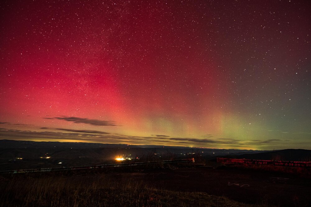
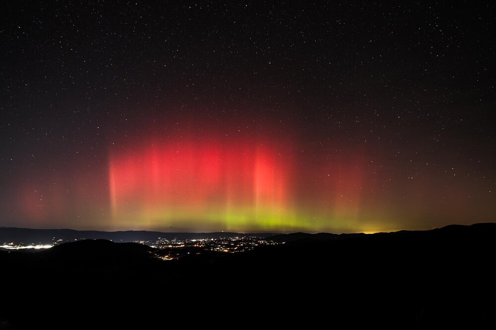
Edited results of the past two days!
-
Worth it though
-
Got the 1st substorm on camera then my tripod falling and breaking my lens combined with an 8am class made me retreat before round two.
-
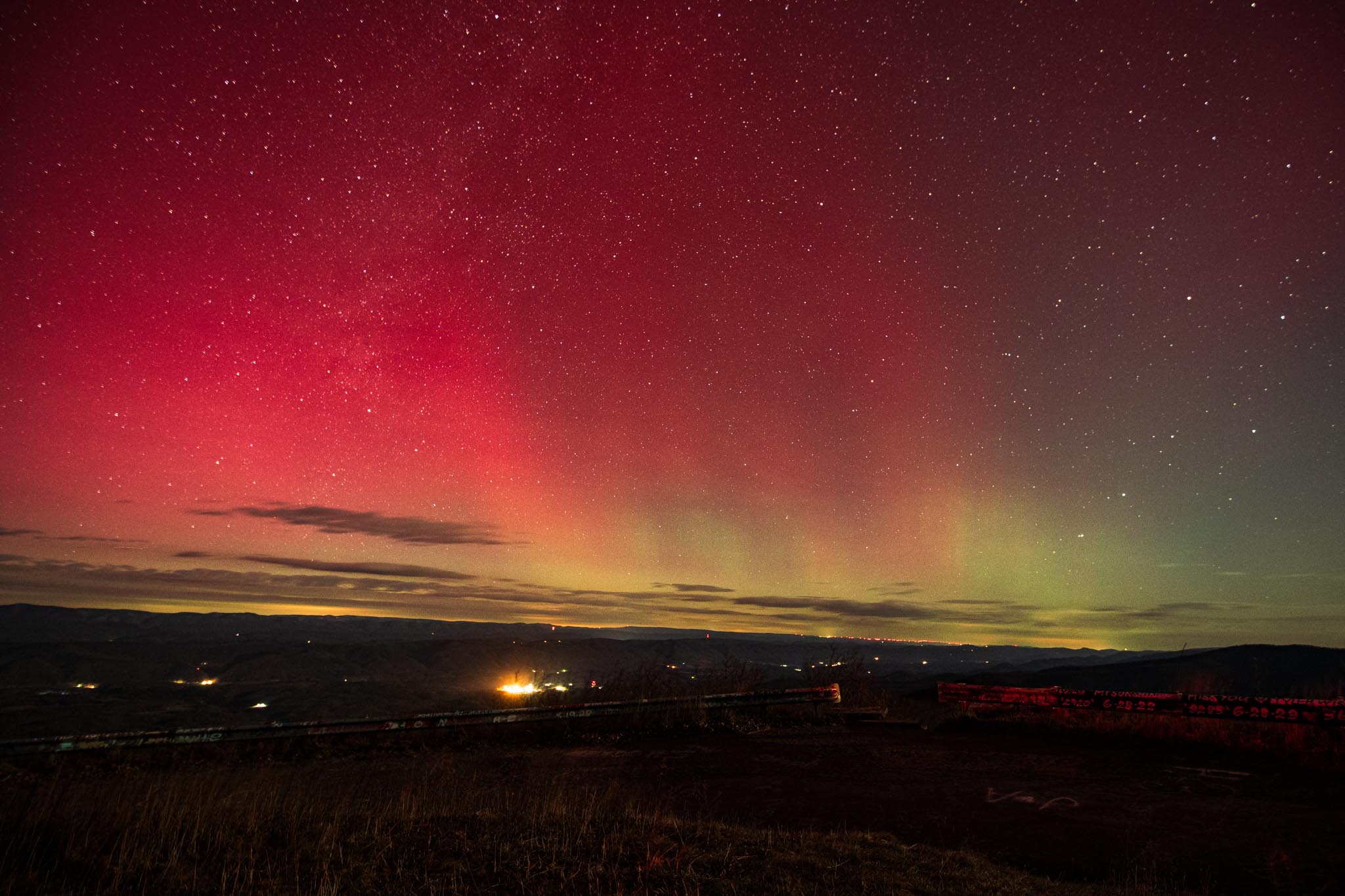
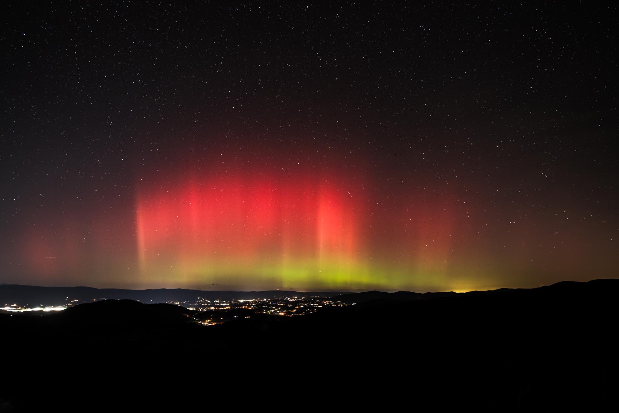
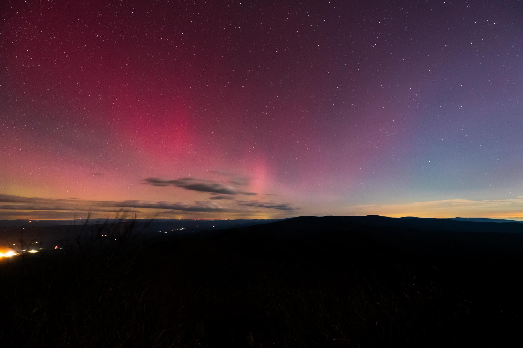
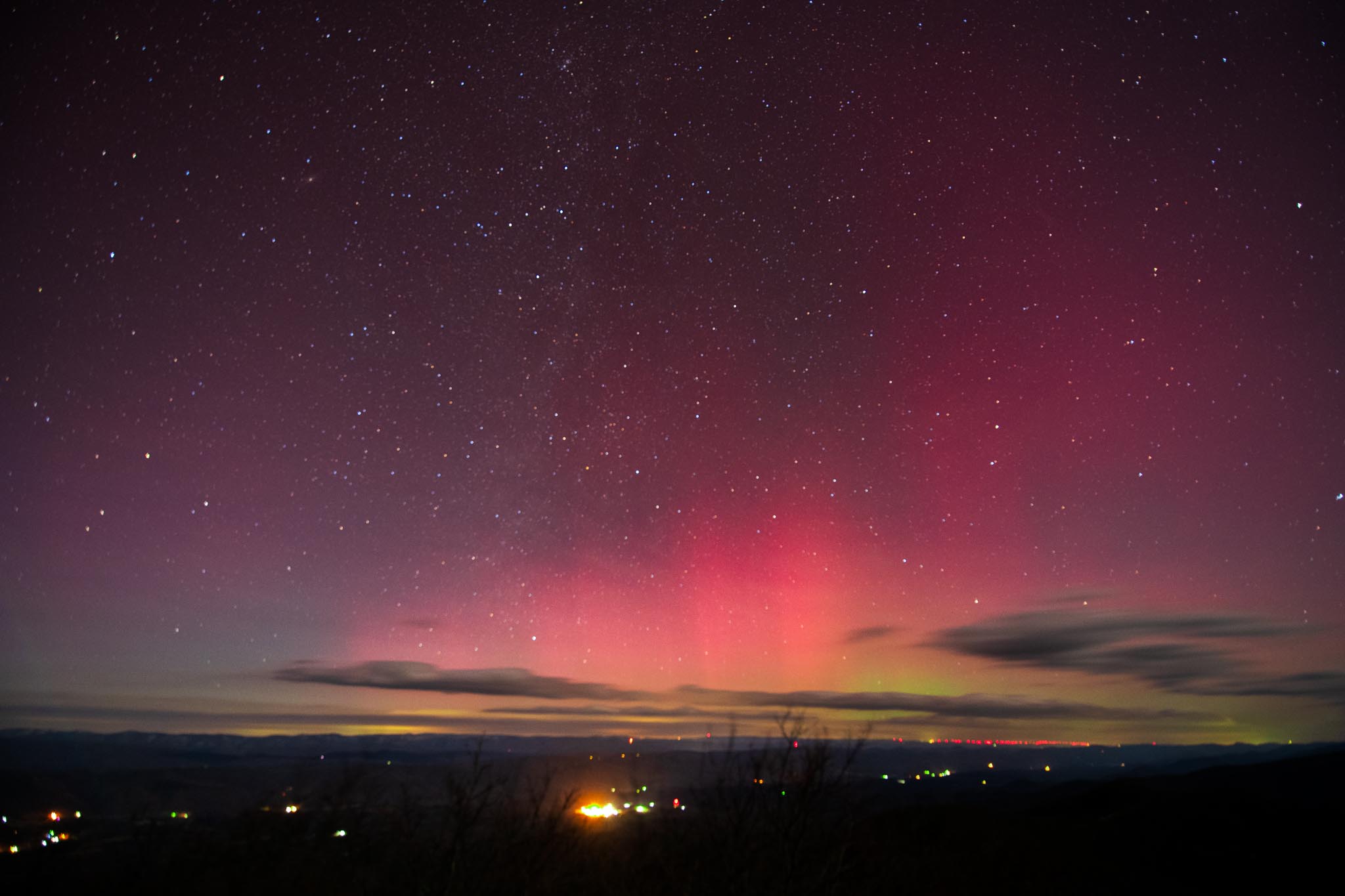
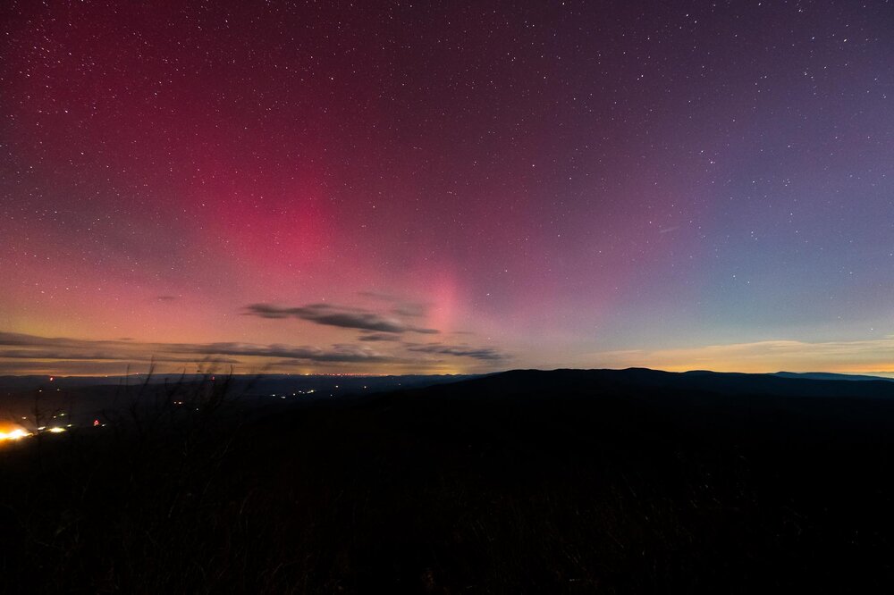
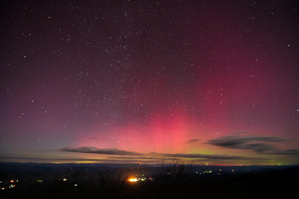
Do all of that and that’s how to get a shot like these! (From WV/VA border and 4000+ ft at 12:30am)
-
As a photographer enthusiast all you really need is 1. Tripod 2. 10 second shutter 3. Lowest f stop possible lens (2.8 is good) 4. 1600-3200 iso 5. preemptively use manual focus on a distant light to ensure your focus is good! Happy photographing!
-
Yeah it left some killer outflow boundaries behind it
-
Got some good shots on the WV VA border but missed the substorm by 20 minutes
-
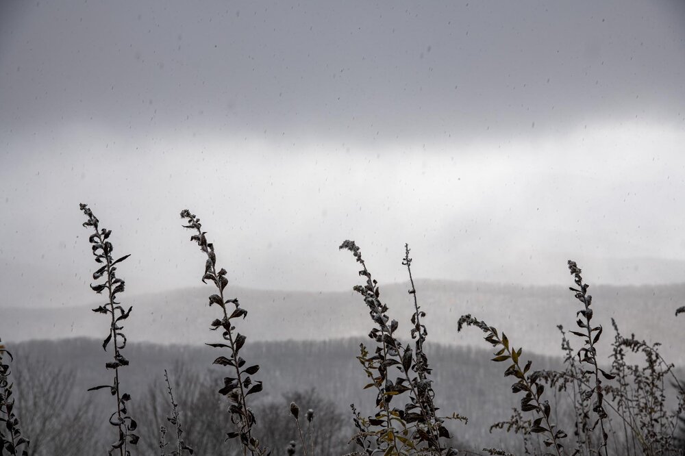
Upslope is weird. From my adventures yesterday it seemed like some areas just kept getting bands while others didn’t for seemingly no elevation reason. Then it kept snowing all the way into VA without any clouds overhead on the drive back.
-
Saw it for a bit in Charlottesville before the clouds ruined my fun
-
I saw that, it seems like models differ on if itll hit either late tonight, tomorrow midday (bad ofc), or tomorrow evening peak
-
I believe that flare would hit Wednesday or Thursday night while the one tonight is seperate
-
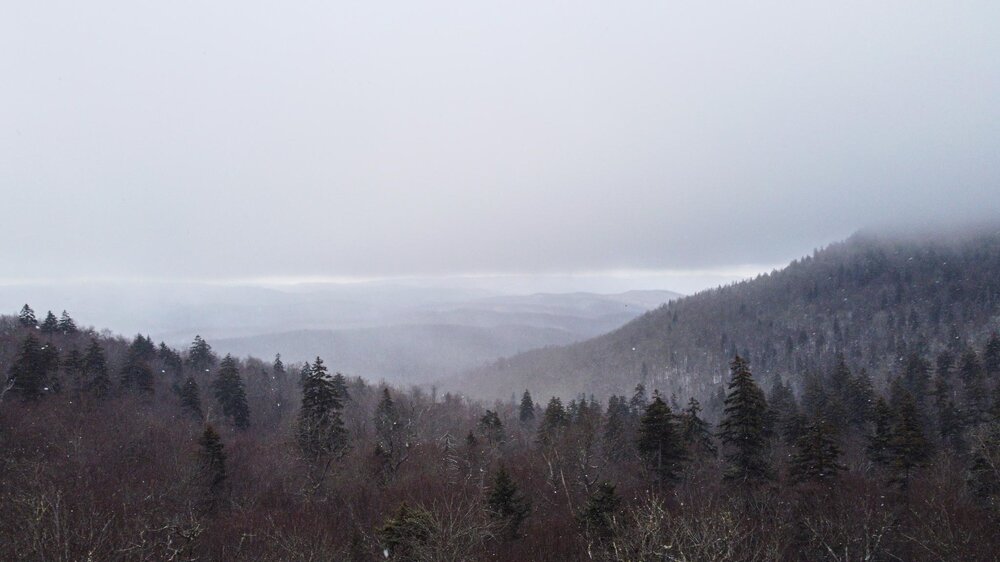
And to West Virginia
- 735 replies
-
- 22
-

-

-
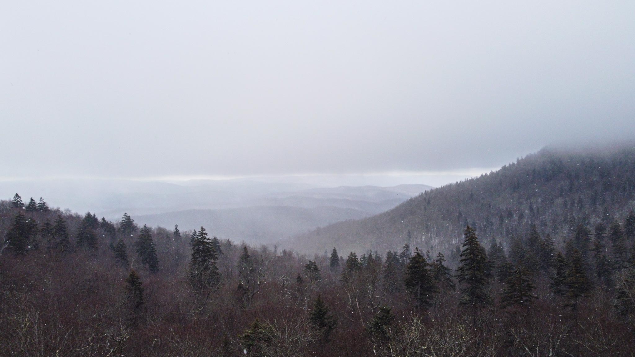
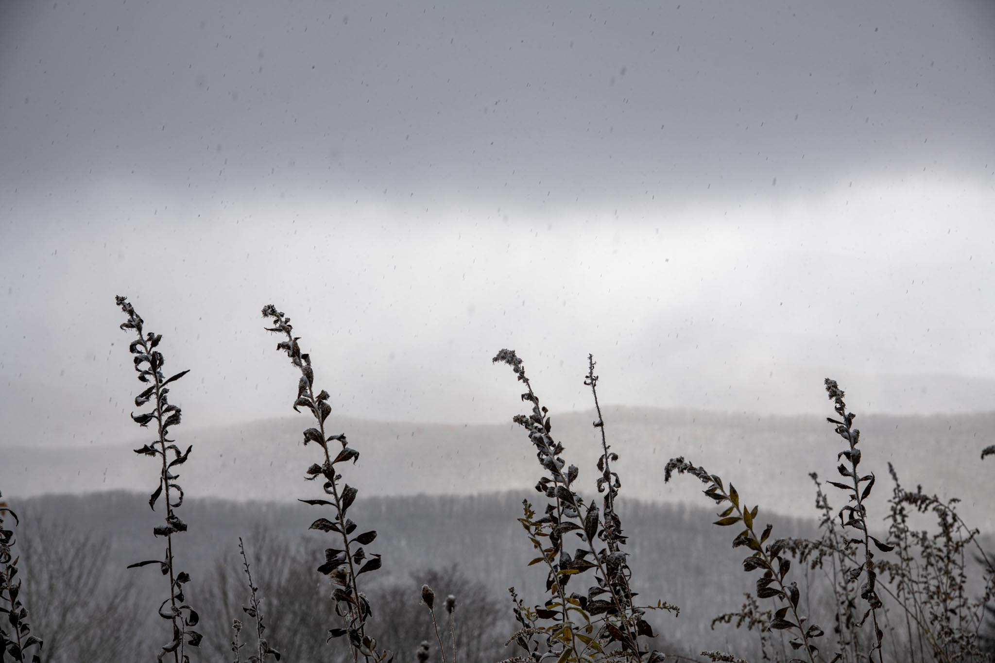
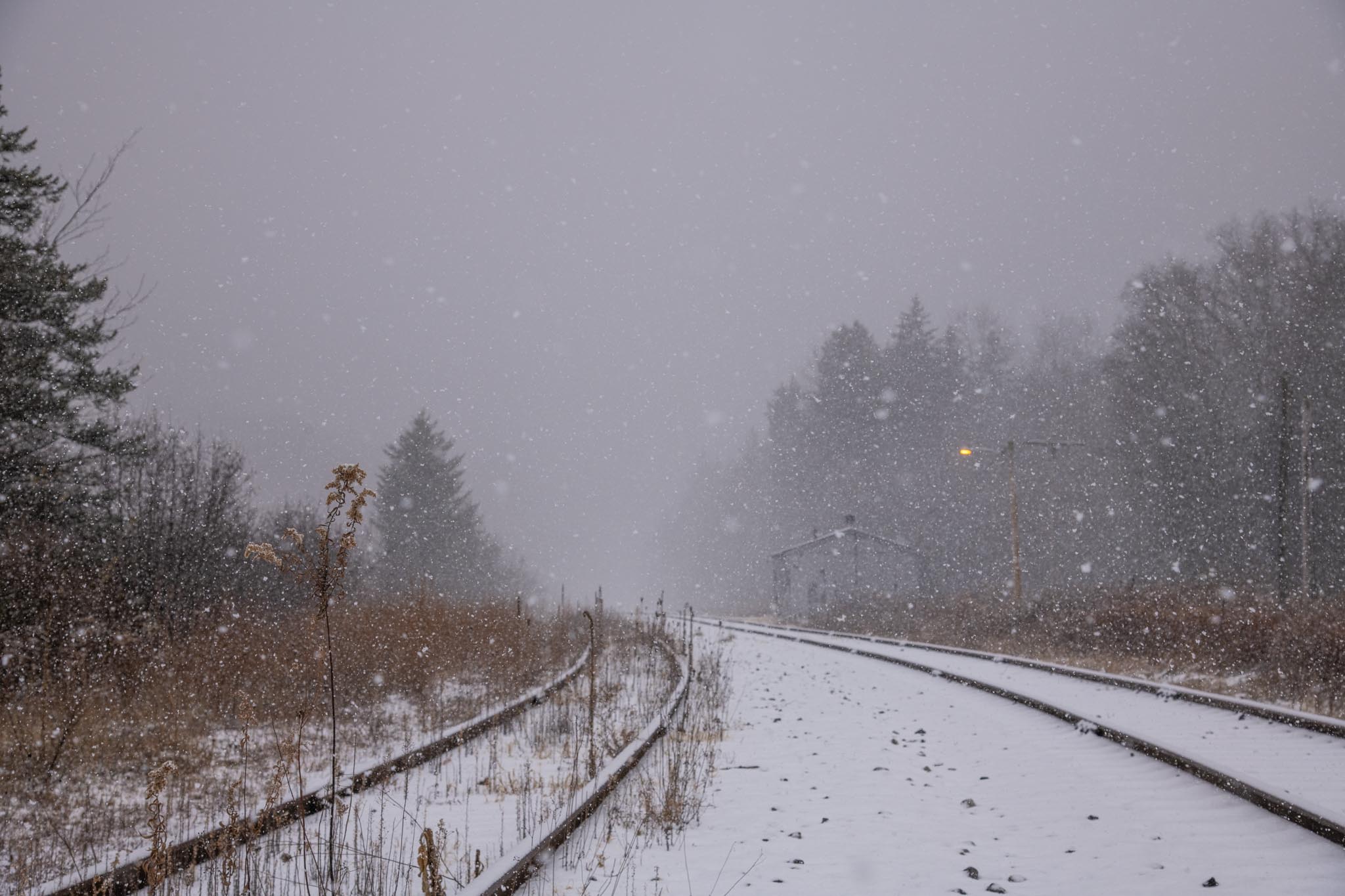
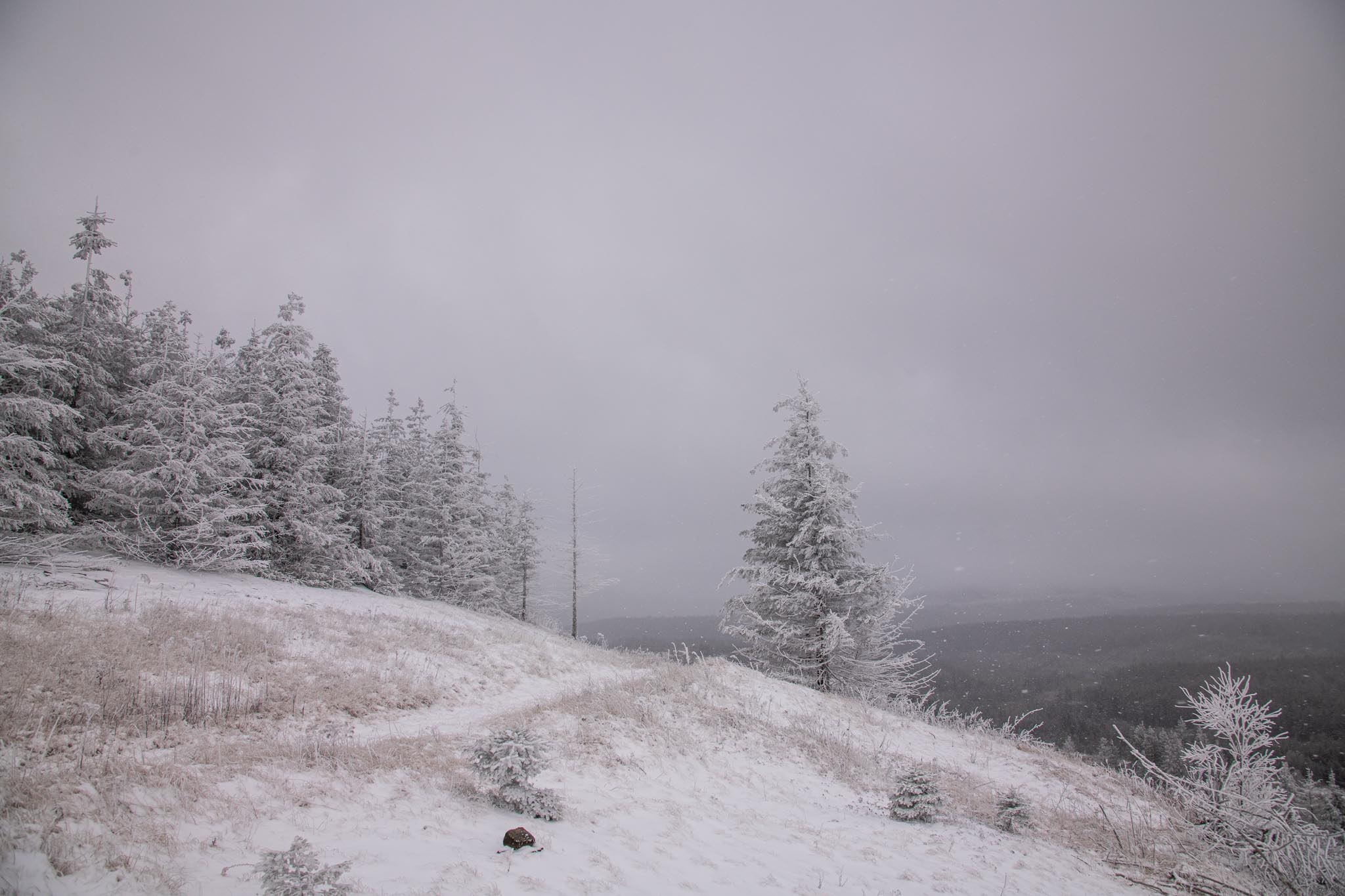
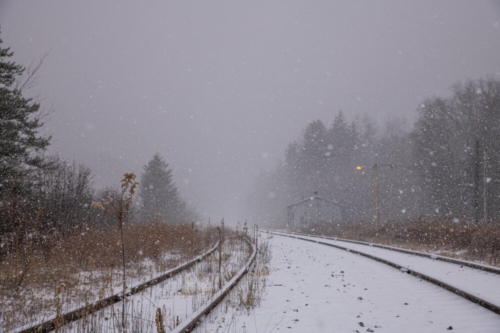
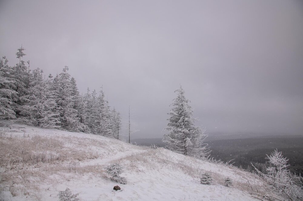
Was quite the adventure! First two hikes I went on were pretty tame with 1-2 inches on the ground (too far north I think) before I headed 10 miles south and got a hike with 3-4 inches on the ground. Couple intense bands punctuated the day as well. Will post some pictures when able
- 735 replies
-
- 11
-