SnowenOutThere
-
Posts
5,616 -
Joined
-
Last visited
Content Type
Profiles
Blogs
Forums
American Weather
Media Demo
Store
Gallery
Everything posted by SnowenOutThere
-
I’m planning on going to spruce knob WV sometime this week for astrophotography could any Mets (or anyone really) weigh in on which night would be the clearest?
-
Honestly the radar's similarities to some recent snowstorms is almost spot on. My backyard rode the edge in each storm this year between the best accumulations to the south and far less to the west and in this storm its the same where I'm at .11 at my home gauge in Reston and .27 at Oakton where I'm at school.
-
Sounds in some ways similar (though far less potential) to last years mini tornado outbreak
-
Congrats Short Pump
-

Digital Snow Thread Winter 2024-2025
SnowenOutThere replied to SnowenOutThere's topic in Mid Atlantic
Dynamically cooled and never gets below freezing the whole event. Book it -
2025 Mid-Atlantic Garden, Lawn, and Other Green Stuff Thread
SnowenOutThere replied to mattie g's topic in Mid Atlantic
Hi guys, wanted to setup a garden this year and made a planning sheet. Should I be direct sowing seeds for all of them ASAP, or should I wait a bit till after the last frost potential? Any advice would be appreciated -
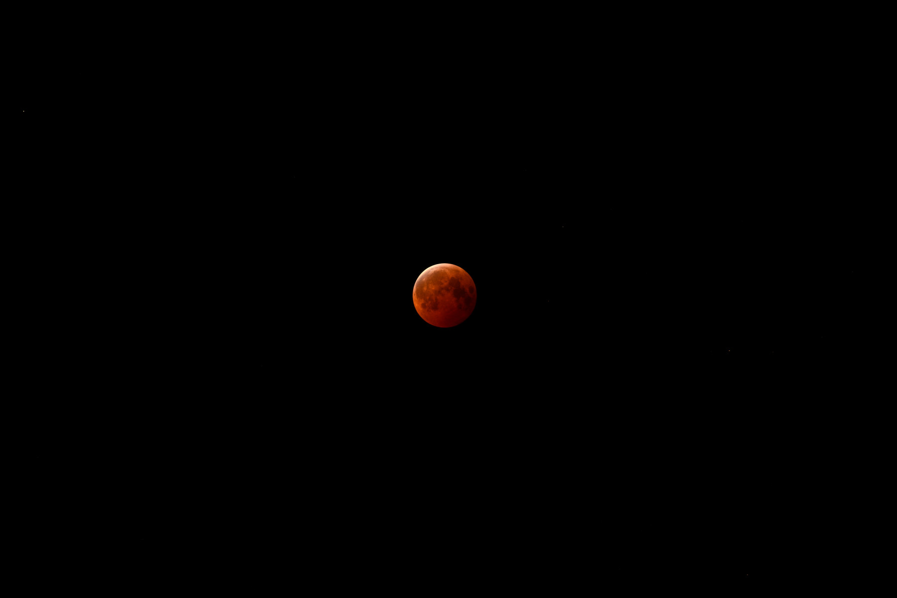
Still can’t believe they made blood moons from botw and terraria a real thing lmao. I got super lucky had didn’t have any clouds for the full hour and a half, and used it as justification to skip first period today
-
The blood moon rises once again...

-
Disappointed no one has posted this yet
-
Punting April, I’m all chips in on a May save
-
0z 3k Nam looks even more intense
- 1,378 replies
-
- 1
-

-
- severe
- thunderstorms
- (and 2 more)
-
He said he could no longer remain silent on the current political situation unfolding and the no politics got him.
-
Miller abcdefuckyou second coming?
-
Your points here are valid and line up well with this video from 9:56 onto a bit. Wish the moderators would watch it to (instead of ignore the issues and most likely delete this post) get an idea of why being an apolitical forum just promotes a slide to the right.
-
Besides if engagement or change is futile than what do I have left as a young person? To go off into the snowy woods and never come out, seems like a better ending than accepting that.
-
No, by stating engagement is futile we are giving into the environment they want to create. We aren't past the Rubicon yet, but if we believe we can't change anything than we might as well be.
-
It's normal for a bombed out cyclone to have no snow associated with it all the way into Canada in winter right?
-
Was going to dm this but it won't let me. Anyways, I just wanted to tell you that you have helped me so much when it comes to analyzing the weather and getting to understand it better (not just looking at the snow or precip maps anymore!). I also understand how you feel, I'm in the middle of applying for colleges, and despite wanting to attend a small liberal arts college in the northeast I think the only safe option is to apply and attend schools in Canada. I would love to hear your more in depth thoughts on whats unfolding in our country and what I (as a younger person) can do about it, if you would like to email me those thoughts then respond and Ill link it. Either way, thanks for everything.
-
So in the end did the models H5 also adjusted to the surface instead of the otherway around too?
-
Light snow flying in oakton
-
This is now the second time this year I have checked this webcam to live vicariously though a snowstorm.
-
Went from legit heavy snow and untreated roads caving near oakton to light snow as I drove west to my home near Reston, can’t make this stuff up.
-
Doubt it considering how it never has yet this season
-
I think that’s what really made the model watching this event feel so awful. It was just every run where every minor detail continued to trend the wrong way, it really felt like this Simpsons clip https://youtu.be/QiSdQtcj73E?si=x7a1hE_SEhOudiPt
-
Actual light snow now in Oakton, sadly the teacher has the blinds shut save for a small gap.