MN Transplant
-
Posts
17,942 -
Joined
-
Last visited
Content Type
Profiles
Blogs
Forums
American Weather
Media Demo
Store
Gallery
Everything posted by MN Transplant
-
Complete whiff, but the outflow is pleasant
-
DCA has only had one stretch in history of 3 consecutive 101+ days (1930).
-
Already have at least a tie of the daily records at DCA/IAD. BWI is tougher at 102.
-
99.0. I’ve had two rounded 100s this year, but still looking for those three digits.
-
River wind got DCA temporarily at the ob time. I’m up to 98.8.
-
97 at DCA, but BWI has already hit 98 (97 on the ob). I’ve also caught DCA at 97. IAD is lagging a bit with 94.
-
That random day in October with 87 at 9am is something. 91.2 at home.
-
Pazzo isn’t awake yet, so I’ll point out that DCA got down to 81. Racking up those 80+ lows.
-
There have only been 12 days in the combined 152 year DCA record that have ever hit 104+. So, I’d take the under.
-
101 at DCA and 98 at IAD. Both new daily records.
-
Wow, 100s at DCA and BWI. IAD and my house look like 98s. I got a few drops in the early afternoon that halted the rise.
-
We are pretty close to a certain 100 Tuesday.
-
All the models look like we are in the 22-24C range for 850 temps on Tuesday. Hot.
-
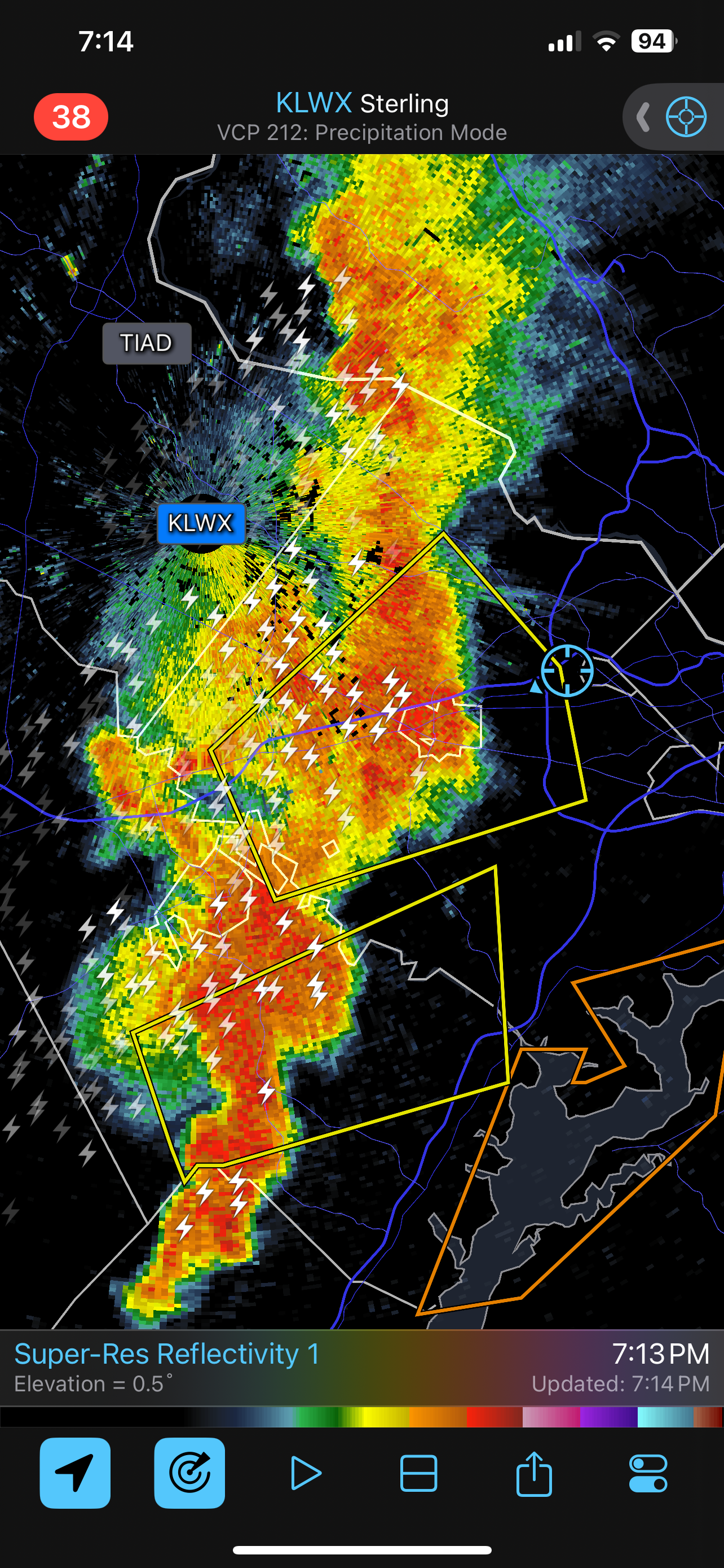
It has been raining, but unless you get under a convective element it isn’t amounting to much. 0.05”
-
Sure would have been nice if this was a big shield of rain instead of distributed convective elements, but that wasn’t in the cards. Just a trace so far.
-
Other than the usual differences in precipitation guidance, there is an interesting battle between the meso and global models for temps on Friday. The globals keep us socked in with clouds and we stay in the 70s. The mesos pop us in and out of clouds and get many of us into the 80s. The 06z NAM Nest is particularly aggressive with a warm mid-80s afternoon bracketed by rain in the morning and evening.
-
0.38”. Not what I was hoping for with the radar looking like it did, but I was clearly in the gradient between wet west and dry east. Most rain in one day since the end of May.
-
Keep it rolling
- 1,696 replies
-
- 4
-

-
- severe
- thunderstorms
- (and 5 more)
-
They just warned it
-
It is mostly because the vegetation (especially grass) takes a beating after a few weeks of dry conditions in the summer. It becomes noticeable and people talk about it.
-
Ctrl-C, Ctrl-V for July/Aug in the DC area
-
The HRRR is backing DPs down to the upper 60s to around 70 and lowering the available CAPE. The NAM seems more realistic per usual, but it is also usually aggressive in these scenarios. It'll probably end up somewhere in between.
- 1,696 replies
-
- 3
-

-
-
- severe
- thunderstorms
- (and 5 more)
-
And while I have my spreadsheet up, if the morning low holds at DCA, this will only be the 11th 82+ low on record at that station.
-
A good delimiter for big-time heat years is whether there are 20 or more 95+ days. There have only been 12 of those in DCA history (2016 being the latest, 2012 having the record of 29). We are currently sitting at 10 with plenty more to come. If you do year-to-date, 2024 only trails: 2012 (14) 2010 (11) 1991 (13) 1911 (11) Interestingly, in 2016 the heat was backloaded, with only 1 95+ day through 7/9, on the way to 23 total.
-
82/75 at 6am at DCA. Woof. edit - as of 6am none of the big 3 airports have dropped below 80.