MN Transplant
-
Posts
17,843 -
Joined
-
Last visited
Content Type
Profiles
Blogs
Forums
American Weather
Media Demo
Store
Gallery
Everything posted by MN Transplant
-
To be clear, IAD has never recorded an 80+ low for any day. The morning low was 81. The question is whether it falls below 80 by the end of the day. It did drop down to 79 last evening when the winds went calm, and then rose again before midnight.
-
We might finally break the all-time warm low record at Dulles. Doesn’t look like they’ve broken below 80.
-
DCA is taking advantage of the west wind. Up to 93. Milky sky, but not a ton of irradiance reduction today. 90.5 at home. Likely a late high day as the warm pocket aloft is still advecting in.
-
Not only Canada, the Boundary Waters area of northern MN has lightning-induced fires and they've closed the park for only the third time on record.
-
Nasty
-
Probably not too much of a leap to think that the smoke might be holding temps back a bit.
-
The 00z sounding from last evening had the highest 500mb height on record at Minneapolis (1957-forward).
-
With Norway out, now I just want a toxic as hell France/England final.
-
0.67” at DCA. 0.20” at home. Nice refresher.
-
Rainfall over the last week. A lot of us in the 1-2.5" range, with some big winners near Frederick, Manassas, Dulles, and Martinsburg. As has been tradition this year, DC itself, southern DE, and Stephens City did poorly. Airport totals continue to diverge (year-to-date total, departure): DCA: 14.71", -6.94" IAD: 21.95", -0.81" BWI: 18.45", -3.94"

-
Happy with 0.70”+ of rain. Still no thunderstorms this year.
-
No thunder yet, but at least it has started raining.
-
Me watching radar

-
We should probably be looking at the stuff initiating out by Dulles
-
C'mon little outflow boundary
-
5 consecutive days where I’ve had measurable precipitation, and my yearly negative departure has grown.
-
Did the exact trip last summer. Incredible stuff. One note - parking in Glacier is damn near impossible, even with the reservation system. Traffic flows, there is just nowhere to stop near the major trails/sights. So, consider the buses.
-
0.32” over the past week.
-
I’m sure these will dissipate and we’ll get a couple hundredths of light stratiform rain.
-
Just getting completely outclassed
-
I understand the frustration, but it is kind of a darned if you do, darned if you don't situation. If that 4" of rain that quickly fell west of Baltimore yesterday was over a city or a major roadway, there would be no questions about the veracity of the Flood Watch.
-
Good news: The 12z HRRR gives me >1" of rain. Bad news: The rain is supposed to be falling right now.
-
Big Heat (and storms?) Week into July 4th Weekend
MN Transplant replied to yoda's topic in Mid Atlantic
0.01” DCA is now -7.28” year to date -
Big Heat (and storms?) Week into July 4th Weekend
MN Transplant replied to yoda's topic in Mid Atlantic
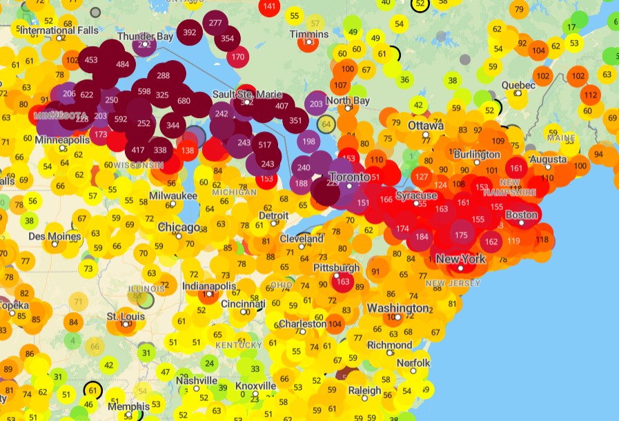
It is July 5th and I haven’t had a close thunderstorm yet this year. And I know this because this weekend’s fireworks was the first time we had to comfort our dog this year due to loud noises. I’d love to see a ytd lightning strike map. -
Big Heat (and storms?) Week into July 4th Weekend
MN Transplant replied to yoda's topic in Mid Atlantic
#alwaysMaryland