MN Transplant
-
Posts
17,845 -
Joined
-
Last visited
Content Type
Profiles
Blogs
Forums
American Weather
Media Demo
Store
Gallery
Everything posted by MN Transplant
-
I'm going to enjoy retirement, provided there is still snow to be had in 15-20 years. Just hit 32.0 in Falls Church. HRRR has about .75" for the DC Beltway area for the period from 7am-1pm.
-
1.0” in Falls Church 0.36” precip so far snowing steadily, beautiful scene
-
46.0/38.5
-
Good number. I've been thinking 6".
-
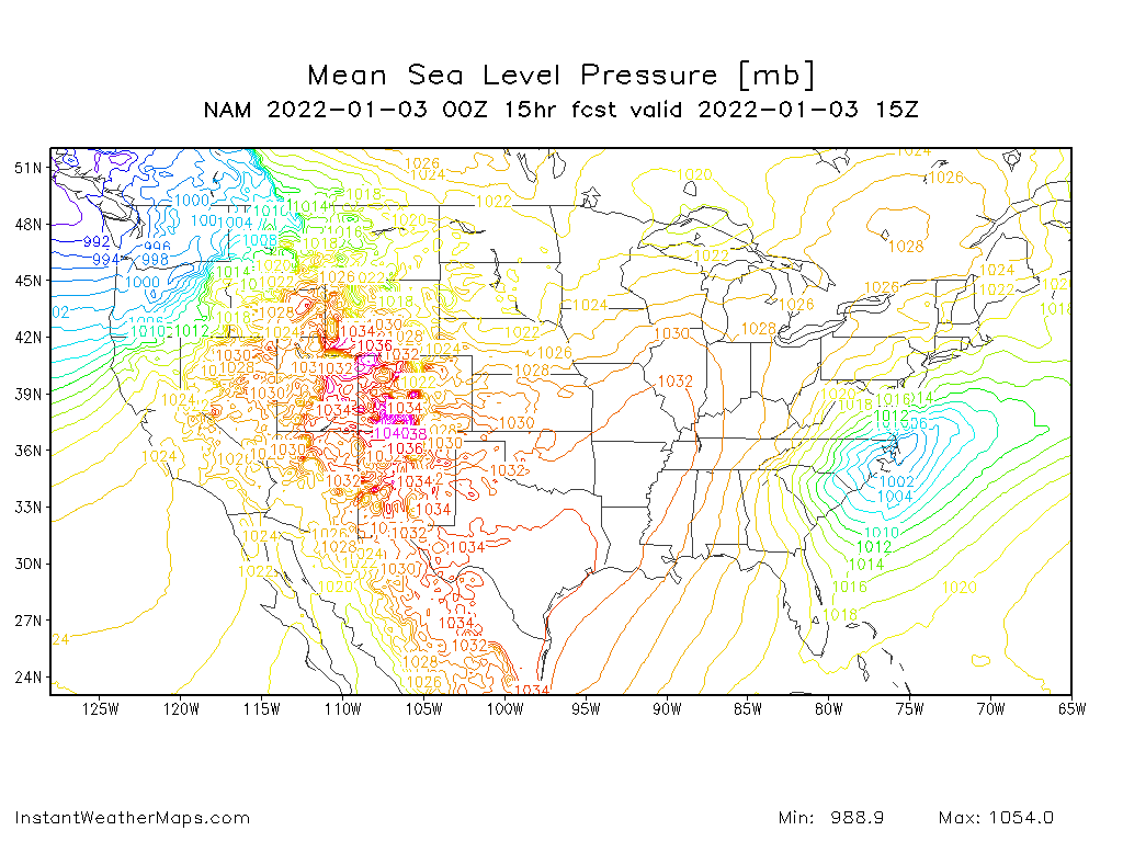
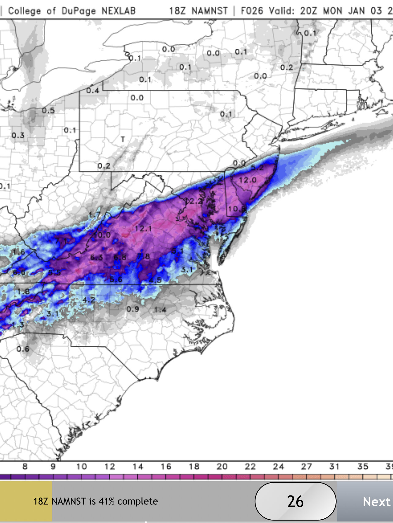
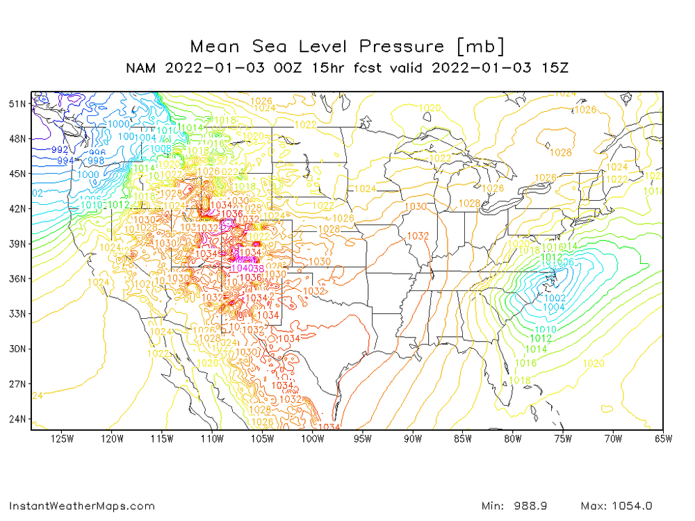
The 3km NAM wastes about 0.3" qpf on the front end in DC and still manages to dump ~10"
-
NAM looks good to me.
-
It can be nice to get the backup from the global models.
-
I noted earlier today that the models with the more northerly precip shield had a low passage between Va. Beach and Hattarras. The HRRR has trended this way.
-
This a strange situation where it is 60 degrees within 12 hours of a snow event, and we want to make sure that the cold air doesn’t come in too aggressively and forces the baroclinic zone too far south.
-
The low track is pretty crucial for our northern neighbors. The GFS and Euro take the surface low between Hattaras and Va Beach, and they have the further NW extent. The NAM and HRRR are over Hattaras and have a brutal cutoff.
-

-
We just got 18z 3km NAMd.
-
NAMs are a bit north of 12z. At least reducing the model spread for DC.
-
62.2. Someone posted the Cobb output from the GFS in the other thread. 9” in two hours at DCA. Yeah. https://meteor.geol.iastate.edu/~ckarsten/cobb/cobb.php?model=gfs&site=kdca
-
I know rates always win, but after being out in the yard for the past two hours, I believe that I would define the ground temps as “molten hot lava”.
-
The upper SC to Hattaras track is not usually a winner for us. But who knows.
-
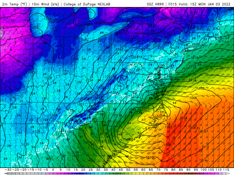
The 00z HRRR has the DP at DCA dropping from 61 to 31 in 10 hours.
-
Save the money for a trip to a place that actually gets snow.
-
If you've got the long-range HRRR and the GFS on your side, how can you go wrong?
-
I knew it was bad, but that is really bad.
-
I love that place.
-
Evidently the Target and the new Element hotel in Superior have burned, to give another landmark on where the fire was. Brutal day in CO.
-
March 2012 was absolutely insane.
-
https://weather.us/radar-us/maryland/reflectivity/KLWX_20110126-234025z.html It is awful what happened to that site.
-
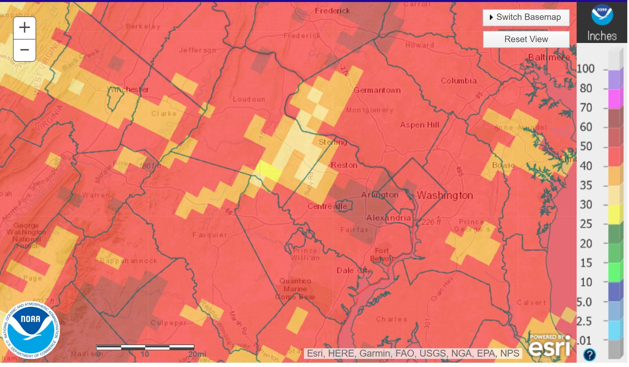
Unreal difference in precipitation in 2021 between eastern Loudoun Co. and Fairfax Co. IAD is under 35", and there is a CoCoRaHS site in Ashburn that is 29.54". Meanwhile I'm at 48.51" in Falls Church and there is a spot of 53.42" in Annandale.