MN Transplant
-
Posts
17,845 -
Joined
-
Last visited
Content Type
Profiles
Blogs
Forums
American Weather
Media Demo
Store
Gallery
Everything posted by MN Transplant
-
Same, the cars cooled fastest and had the most accumulation. Ground-level snow board was relatively low compared to elevated surfaces.
-
No drizzle here
-
If the phone batteries are dead, have to do something to pass the time.
-
That is fantastic.
-
I'm guessing there are a lot of people making friends with their fellow stuck travelers.
-
Low of 20.7 here despite deep snow cover. Can’t fight the inversion without wind.
-
8.8"
-
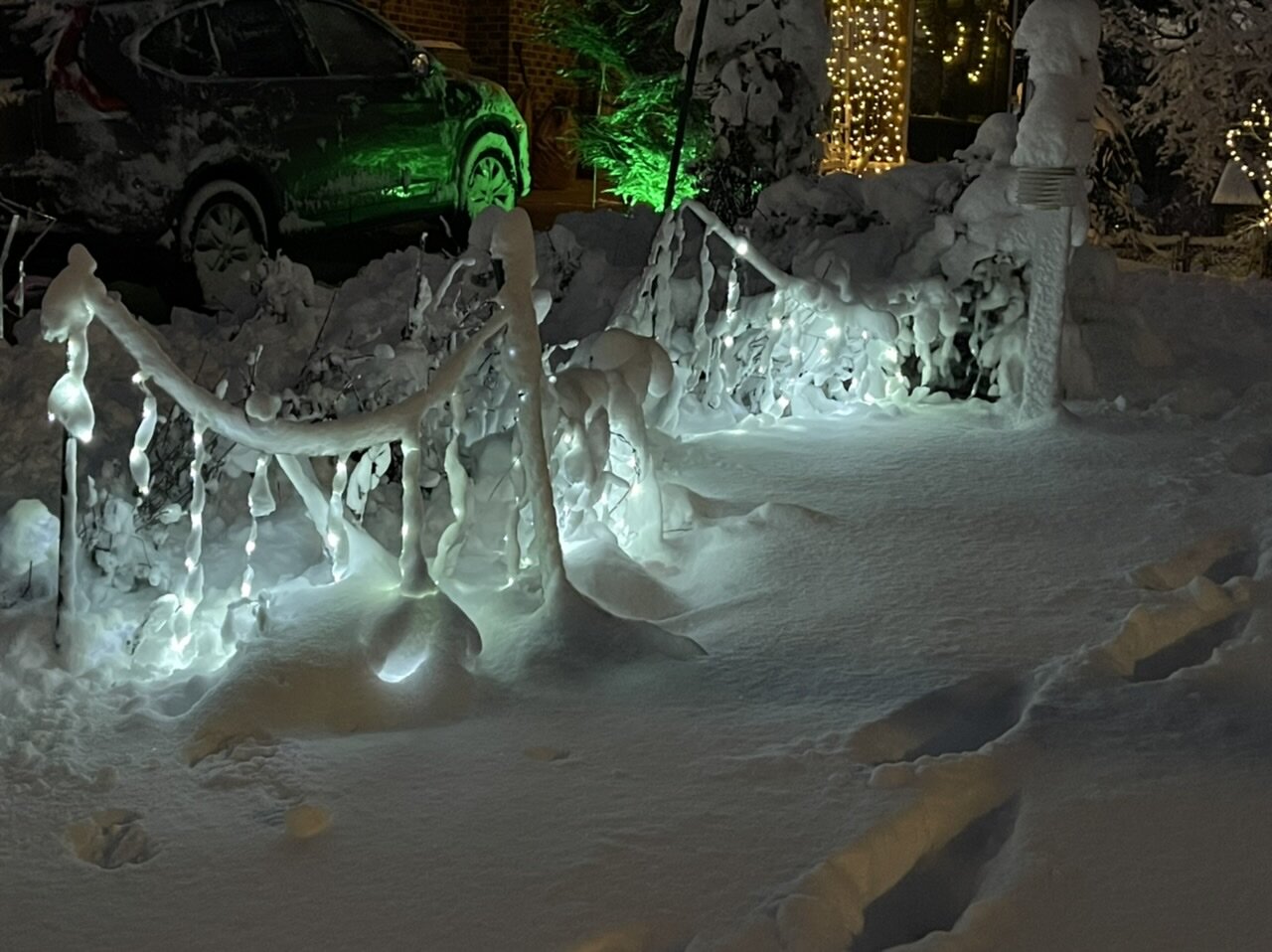
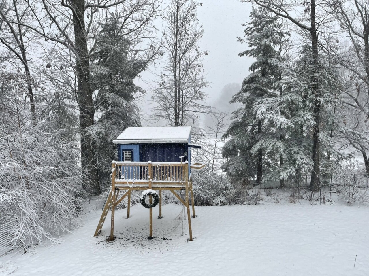
I’ve been waiting for years to have a good snowfall close enough to Christmas to see the lights in the snow. Does not disappoint.

-
The sunshine is a nice added bonus at the end of the day. Enough to be picturesque, but not enough to start any significant melting process.
-
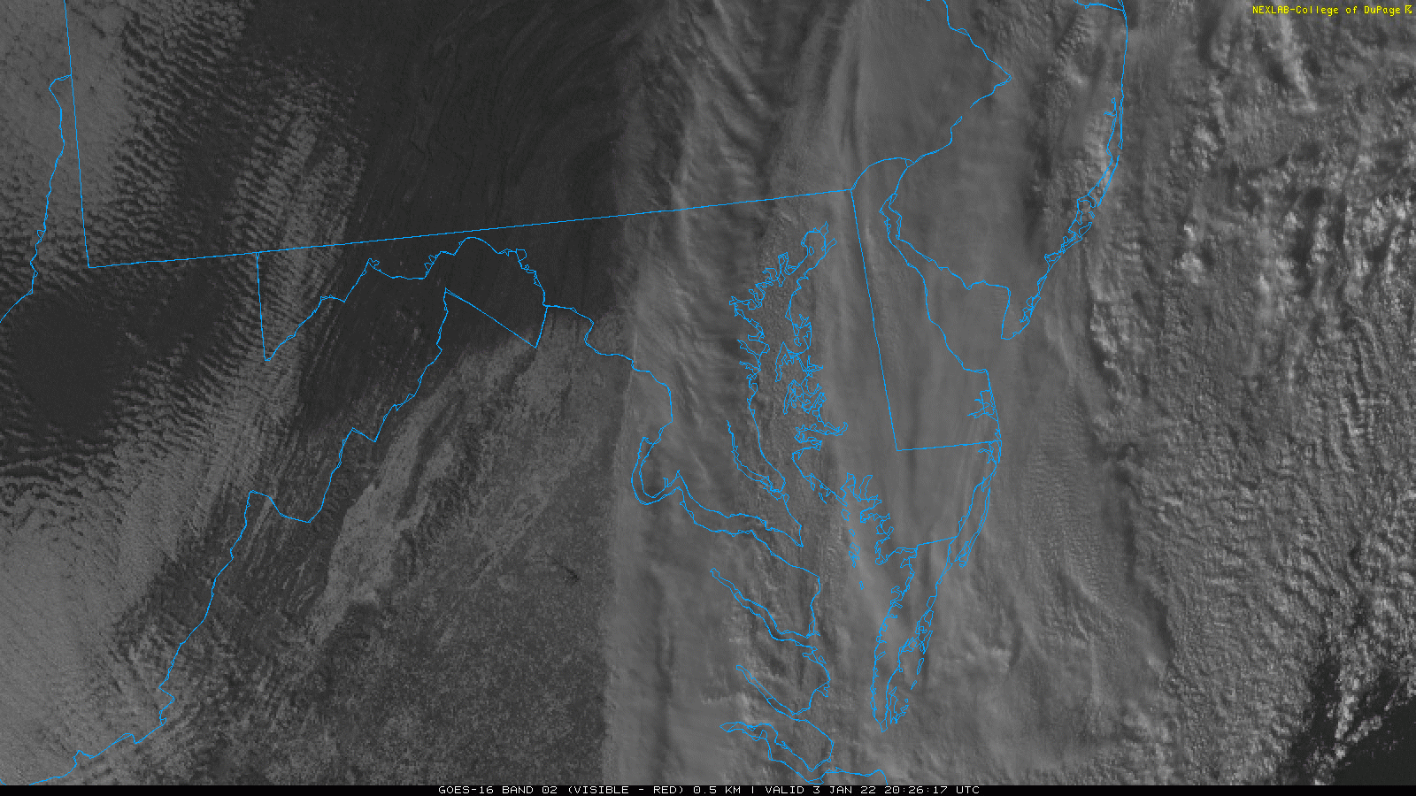
Still shrouded in cloudcover. Can't make a determination.
-
Northern edge is easy to see on visible. Sorry Winchester and Frederick.

-
It isn't a super cold airmass, but the fresh snow really helps. I'll go with breaking the sub-22 drought. 20 or 21.
-
We had one make two passes early on, but nothing since maybe 9am. Worst case is that they come at night and the boulders at the end of the driveway freeze solid by tomorrow am.
-
Mid-Atlantic forum winter 2021/22 snow totals thread
MN Transplant replied to North Balti Zen's topic in Mid Atlantic
Falls Church, VA 1/3/22 - 8.8" -
My neighbor backed out of his driveway into the street and promptly got stuck. After shoveling himself out, did he cancel whatever outing he had? Nope, just continued on. Some people evidently have different risk tolerances.
-
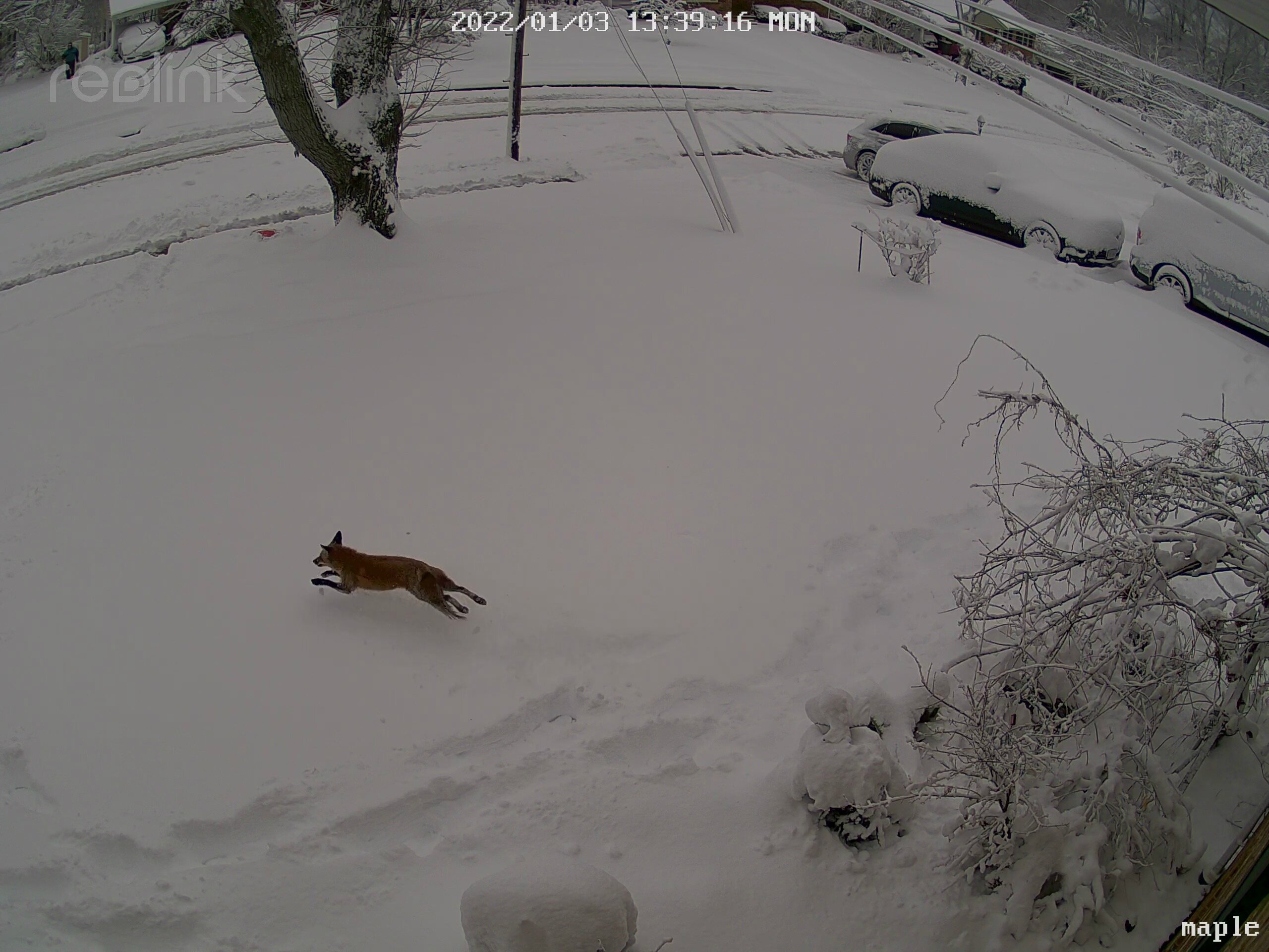
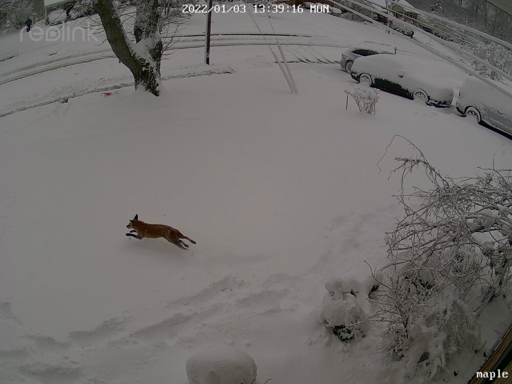
Our neighborhood fox enjoying the snow
-
Sorry if I missed it earlier, but the southern DC beltway is a damn mess. https://chart.maryland.gov/video/video.php?feed=3e0012c100f6004f004de33696235daa
-
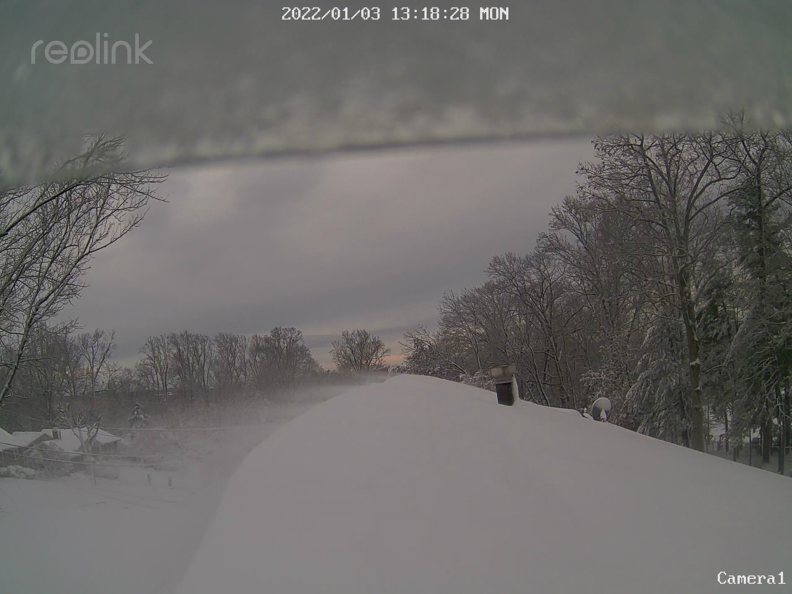
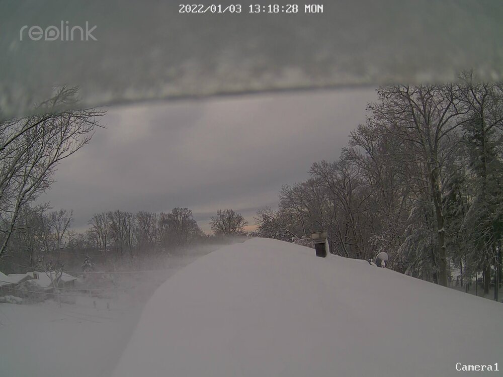
My roof cam is delivering with some blowing snow
-
Final 8.8” in Falls Church. This is a lot of snow!
-
I'm surprised that you weren't closer to 6". Take a few more measurements.
-
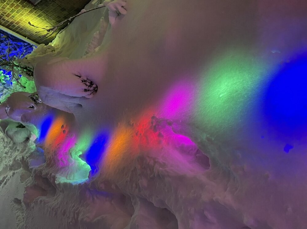
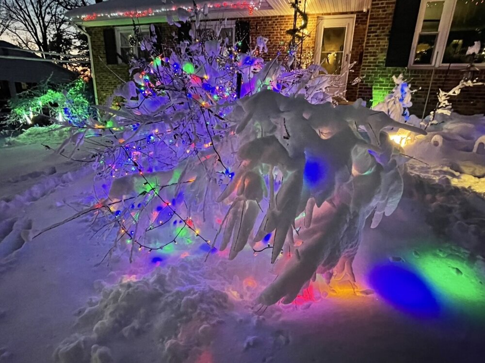
Our witch hazel is unrecognizable. I probably should go out and rescue it, though it isn't my favorite.
-
Just a tad shy of 6" in Falls Church. Exceeding expectations.
-
I haven't even checked the CC! @mattie g approves.
-
3.25” in Falls Church at 9am (1” at 7am) 31.1 degrees

-
Another example of trusting the globals on storm track and the mesos on how the precip shield will behave.