ORH_wxman
-
Posts
93,092 -
Joined
-
Last visited
Content Type
Profiles
Blogs
Forums
American Weather
Media Demo
Store
Gallery
Everything posted by ORH_wxman
-
Glass half full: AK pig showed up, but then as we get closer, it looks maybe like it's transient? Imagine the disdain if a good pattern showed up but then ensembles were breaking it down after 6-8 days. This is the reverse....bad pattern shows up but it seems to be breaking down quickly.
-
EPS map is doable too though I'd rather have the GEFS look....the EPS has been trending toward the GEFS look though the past 2 runs....hopefully it continues. Still out near the end of the run so obviously a lot can change....but if we have something between the GEFS/EPS look, that can definitely produce some winter wx events.
-
There's been more reluctance to have elementary school age kids go remote here. We've seen the high schools be more willing to cancel in-person and go remote if a case pops up vs the younger kids. It makes sense as the younger kids are hurt more by remote and they can't do it from home by themselves like high schoolers can....they obviously need a parent home. As someone once said, there are no solutions, just trade-offs.
-
My wife is a teacher. Unions definitely didn’t want full in-person...and for good reason. Having 30 high schoolers packed into a small room with shitty ventilation is about the least ideal setup. Her district ended up doing hybrid. Class sizes stay below 14. Most of her classes are single digits. Kids get broken into cohorts and they go in person 2 days per week with Wednesday being a remote day for everyone (to keep each cohort getting the same number of in-person each week)
-
Hopefully the weeklies are as accurate as last winter.
-
If it's a Yukon-based -EPO that is phasing with the PNA ridge, I;ll take it (happened at times in 2015)...but I will decline a massive ridge over the Bering Strait or W AK if I can have a generic +PNA ridge instead.
-
A higher PNA down the line might teleconnect to more of a decent -NAO if it happened. Those higher heights lurking in Quebec are kind of waiting for a wave-break.
-
2009-2010 you're thinking of. Anyways, EPS are still showing the 11/29 system as kind of cutter-ish, but it is offering another chance with the mean trough still over the east around 12/1. So there might be a window somewhere in tha 11/29 to 12/2 time span....more likely for NNE than down here, but we'll see if it's still showing up as we get closer. We have some pretty pessimistic posters here that offset the optimists. We had a whole bunch of people whining and canceling winter in January 2013 and January 2015....both winters where I had over 100" of snow, LOL. After last year though, I think even hopelessly optimistic posters like Kevin are becoming skittish.
-
GGEM also has a system around D10 as well. It is in response to the western ridge that amplifies between D8-10. 00z EPS have something too but it's more cutter-ish looking.
-
They are useful if most people wear them (as they will limit the horizontal projection of virus when someone breaths out or coughs)....but if there's someone near you not wearing a mask, then the cloth ones won't help much.
-
Keep national politics stuff out of here (just deleted a couple posts)....I know it can be related, but this isn't the thread for it.
-
2018 and 2019 were both extreme cold/snowy Novembers in NNE. Definitely not the norm. Hell, even down here in 2018, we had like 10 days of snow pack which is crazy....usually November snow melts within a day or two down here.
-
It's an utterly putrid pattern for at least the next 10 days....if we managed anything remotely exciting in terms of winter wx, it would be do to something extremely well-timed and probably more for NNE to boot. As mentioned above though, if one squinted, you could start to see a potentially "better" looking hemispheric pattern by the end of the GEFS (and to a lesser extent EPS). So hopefully that becomes more apparent in the next few runs.
-
GEFS started showing some promise out in early December....EPS were a little uglier, but better than 12z.
-
Got down to 17 here. Coldest of the year so far. Several degrees colder than Halloween morning with the snow pack.
-
Yes. Very few rebound from a crap December. 1955-56 did. You could argue ‘71-72 as well but that one had the big Tday snowstorm over the interior before the crap December.
-
The arctic pattern is just utter trash in the medium range so it’s going to take a lucky break to get a good snow event. You’ll have a much better chance there than down here of course, but even NNE will need a little help this early in the year with that type of arctic.
-
Looks like cheap 05z high of 30F cost ORH tying record low max for the date (28F).
-
Yeah I’m not enough of a stratosphere expert to know what is exactly causing the excessive cold up there but maybe it’s at least partly due to the fires HM tweeted about. There was some tropical volcanic activity this year too but I didn’t think any of them were close to large enough to cause really noticeable strat interference ala El Chincon or definitely Pinatubo. Maybe it’s a combo of several things.
-
Not ‘95-96. We were 4-5 years displaced by that point. ‘93-94 it was probably still lingering though not as strong as ‘91-92 and ‘92-93. Don’t forget that ‘93-94 was a +AO/NAO winter. It did have a really good -EPO though for a large chunk of the middle of winter which is why it was so cold.
-
That wouldn’t be good because post-volcanic stratosphere tends to support a strong +AO. We saw this after Pinatubo and El Chicon.
-
We have a deck heater and may have a couple family members over assuming it's not too cold on T-day.
-
If the heights can migrate a bit north in Quebec like the weeklies show, then perhaps we could get more of a Dec 2012 deal where you have that faux blocking, but it is still somewhat effective....we had mostly crap airmasses but many were marginally cold and we did get some snow events that month....esp after 12/20.
-
It already there more or less by day 10....it's going to happen. It is definitely not set in stone how long it lasts though. I did not like the weeklies on Monday. That was a bad sign. If we do not see a light at the end of the tunnel on the ensembles by, say, 11/25ish, then I'd be worried.
-
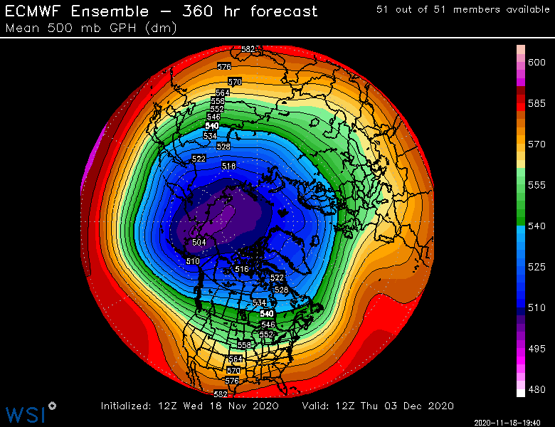
Total snoozefest as we enter December on EPS. That is not where you want the PV.