

ORH_wxman
-
Posts
93,095 -
Joined
-
Last visited
Content Type
Profiles
Blogs
Forums
American Weather
Media Demo
Store
Gallery
Everything posted by ORH_wxman
-
March 12 Rain to…more rain? Maybe some snow
ORH_wxman replied to HoarfrostHubb's topic in New England
Kind of weird how flat the ARW members are on the SREFs. I usually expect them to be jackpotting Ottawa at this point. -
March 12 Rain to…more rain? Maybe some snow
ORH_wxman replied to HoarfrostHubb's topic in New England
You and Alex might do well since a lot of the snow is on a N to NW wind....even during the synoptic snow portion and not just the upslope. Hopefully it doesn't amp back up and cause rain issues....if it doesn't, you can prob score double digits. -
March 9: Little Critter that could part 2.
ORH_wxman replied to Sey-Mour Snow's topic in New England
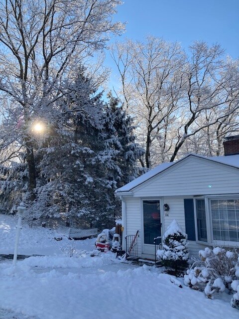
Nice morning.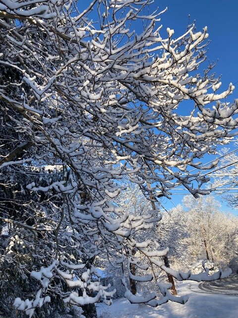
-
March 9: Little Critter that could part 2.
ORH_wxman replied to Sey-Mour Snow's topic in New England
Still some nice fatties falling to top this off. Little band hanging back. -
March 9: Little Critter that could part 2.
ORH_wxman replied to Sey-Mour Snow's topic in New England
Some good fatties falling just a few min ago while finishing up an easy shovel job. Light doesn’t do it very good justice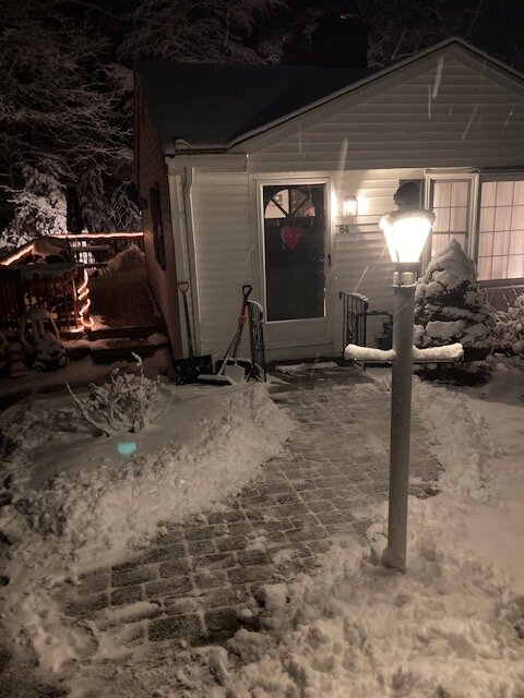
-
March 9: Little Critter that could part 2.
ORH_wxman replied to Sey-Mour Snow's topic in New England
It’s about done…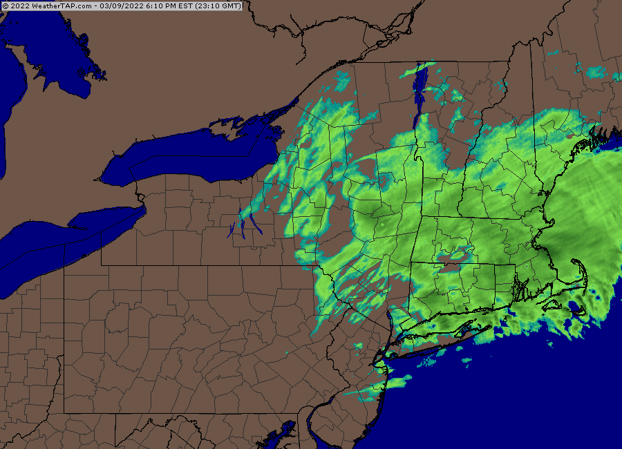
-
March 9: Little Critter that could part 2.
ORH_wxman replied to Sey-Mour Snow's topic in New England
Looks like one last really good band trying to strengthen in NE CT Hopefully a nice finale to end it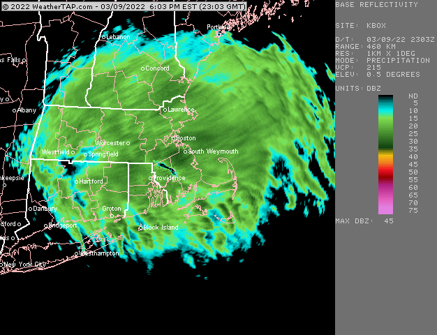
-
March 9: Little Critter that could part 2.
ORH_wxman replied to Sey-Mour Snow's topic in New England
Eyeballing a couple inches in Holliston. Maybe a little more. Stuck to everything. Hopefully we can grab another inch or so. Coming down good right now. -
March 9: Little Critter that could part 2.
ORH_wxman replied to Sey-Mour Snow's topic in New England
Incoming for Scooter
-
March 9: Little Critter that could part 2.
ORH_wxman replied to Sey-Mour Snow's topic in New England
In the heaviest stuff yet now. Really dumping. Hopefully we can pick up a quick inch in the next 45 min with this heavier burst. -
March 9: Little Critter that could part 2.
ORH_wxman replied to Sey-Mour Snow's topic in New England
Any updated thoughts on how much N CT might get? You always mention what your thoughts are for E MA. -
March 9: Little Critter that could part 2.
ORH_wxman replied to Sey-Mour Snow's topic in New England
Yeah I had a brief period of light snow around lunch time but then basically weenie flakes for another hour until it started for real around 45 min to an hour ago. It only got heavier in the past 30 min. -
March 9: Little Critter that could part 2.
ORH_wxman replied to Sey-Mour Snow's topic in New England
Maybe 2 or 3 tenths? -
March 9: Little Critter that could part 2.
ORH_wxman replied to Sey-Mour Snow's topic in New England
Yeah we just had a blob go through here that dropped a couple quick tenths....we've only been snowing for about an hour....at least steadily. Hoping to catch that Windham county stuff though the best might be a bit south of me
-
March 9: Little Critter that could part 2.
ORH_wxman replied to Sey-Mour Snow's topic in New England
Nice....we were talking earlier about that region potentially being a sneaky jackpot but it was starting to take away from the CT discussion so we stopped. Looks like that weenie banding is performing there with good snow growth, -
March 9: Little Critter that could part 2.
ORH_wxman replied to Sey-Mour Snow's topic in New England
Just starting to rip here now....but we don't have as much as the N CT area. -
March 9: Little Critter that could part 2.
ORH_wxman replied to Sey-Mour Snow's topic in New England
Should start ripping there within the next 20-30 min
-
March 9: Little Critter that could part 2.
ORH_wxman replied to Sey-Mour Snow's topic in New England
Radar looks pretty good...I'd expect widspread advisory amounts for anyone over 200-300 feet and maybe down lower....esp as sun goes down and eastward.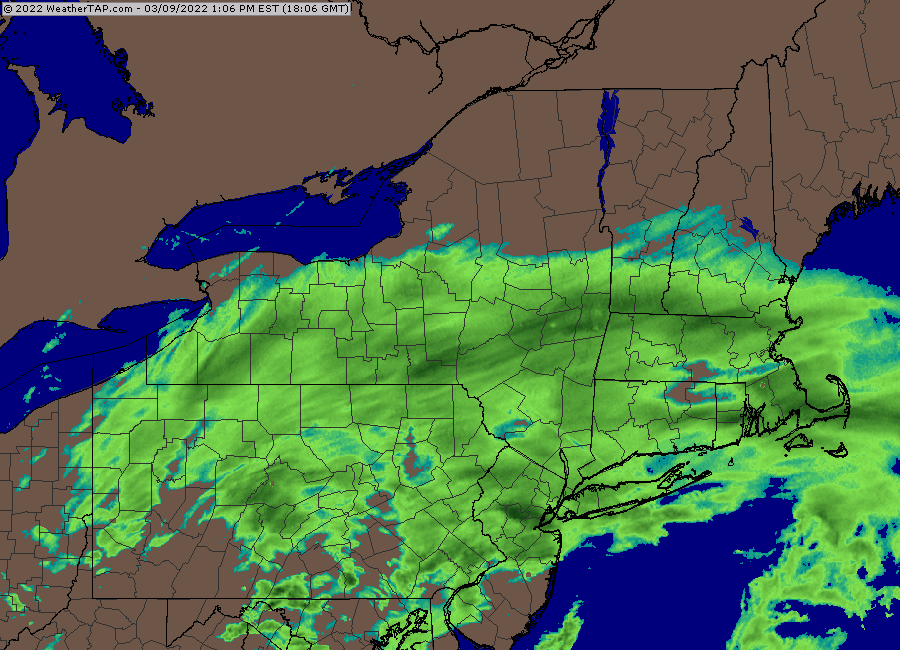
-
March 9: Little Critter that could part 2.
ORH_wxman replied to Sey-Mour Snow's topic in New England
Basically been nothing here for an hour at least...maybe more. Just a few weenie flakes. -
March 9: Little Critter that could part 2.
ORH_wxman replied to Sey-Mour Snow's topic in New England
Tolland CT -
March 2022 Obs/Disc: In Like a Lamb, Out Like a Butterfly
ORH_wxman replied to 40/70 Benchmark's topic in New England
Crush job for NNE on the 12z Euro....looked really good for many up there. -
March 9: Little Critter that could part 2.
ORH_wxman replied to Sey-Mour Snow's topic in New England
We might end up in a bit of screwjie....best band to the north and the low level stuff to the south, but maybe we get lucky with a really good band near the ML dryslot. -
March 9: Little Critter that could part 2.
ORH_wxman replied to Sey-Mour Snow's topic in New England
Very light snow here...prob 2-3 mile vis to start, Can tell the lowest levels are still a bit dry. Hopefully we get an update from CT soon on the conditions there.... -
March 9: Little Critter that could part 2.
ORH_wxman replied to Sey-Mour Snow's topic in New England
Yeah I think some of those spots are gonna put up a 6+ burger...they'll have the snow growth and temps below freezing at the sfc so I won't be shocked to see some 20ish to 1 ratio fluffer numbers there. -
March 9: Little Critter that could part 2.
ORH_wxman replied to Sey-Mour Snow's topic in New England
We literally talked about CT almost non-stop for this event since the best looked like down there....only recently in the past 2-3 cycles did the potential for the jackpot shift north....it's like if the focus goes off CT for more thna a few posts, you can't take it.


