ORH_wxman
-
Posts
93,092 -
Joined
-
Last visited
Content Type
Profiles
Blogs
Forums
American Weather
Media Demo
Store
Gallery
Everything posted by ORH_wxman
-
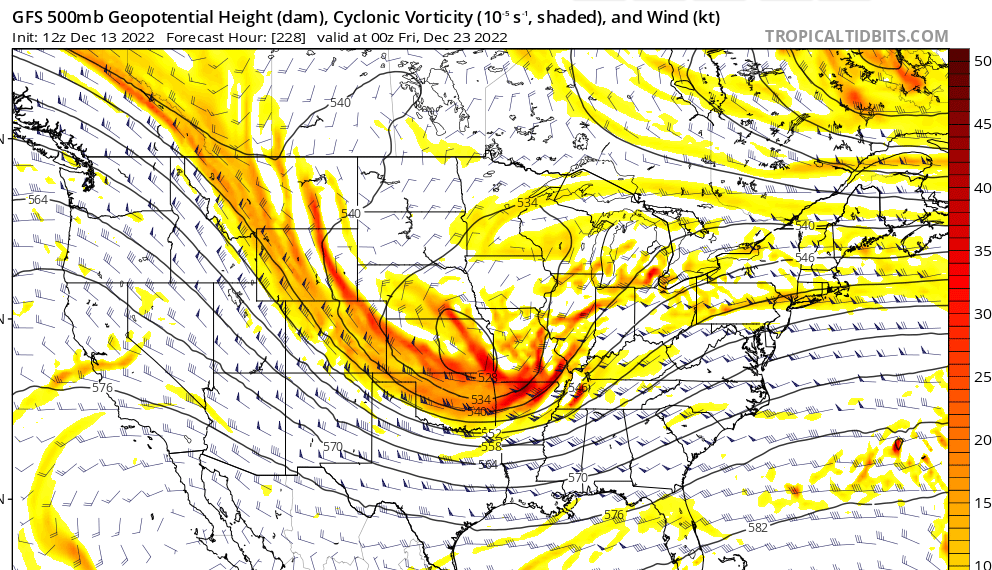
You can see the ridge getting the top sliced off of it out west.....if we had that more amped, then we'd prob see a decent coastal system out of that trough....with the potential to phase in some of that PV energy.
-
Euro is still semi-interesting. Enough to not pull the life-support plug yet. But it's still a long shot.
-
Euro looks like a snoozer over the interior. Cape and south coast though could get it really good. There's like this micro-low that runs near the Cape that we'll have to watch.
-
Never sniffed 60 in Jan 2015....some spots may have touched low 50s in the two cutters (1/3 and 1/18) but otherwise it was pretty cold all month. That was part of the frustration in the first 3 weeks of that month....it was quite cold except the two main storm systems were both awful cutters, so we got little snow (just a bit on the front end in the 1.3 system)
-
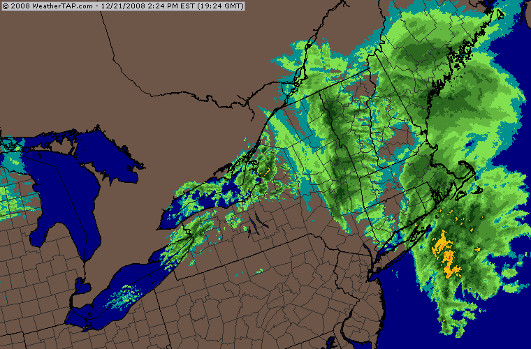
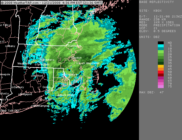
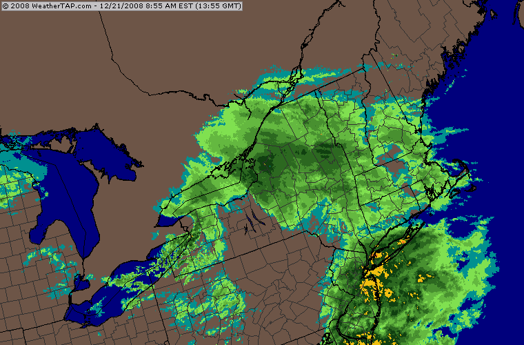
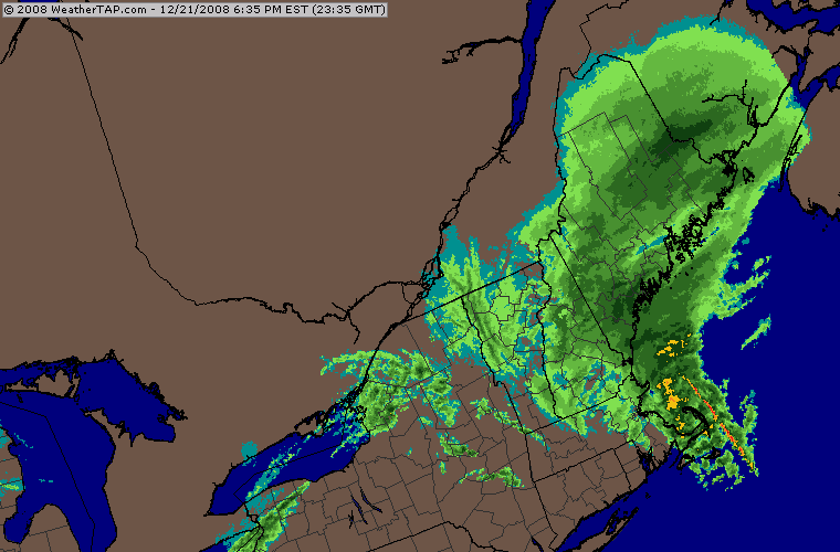
14 years ago today.....crazy coastal front where Ray played naked twister with it and jackpotted. It was a late blooming system right on the heels of the 12/19-20/08 event.
-
I think it was a waterspout that made landfall
-
GFS really isn't close to anything this run. There's just too much wave spacing issues between the PV and the shortwave
-
That won't get it done for big winds....esp away from the exposed areas near the coast. Seems like best shot may be post-FROPA on a quick pulse where the sounding becomes a little more unstable.
-
This one is def a long shot at the moment. There isn't a whole lot to analyze on this...it's kind of just hoping the PV lobe allows the shortwave behind it to amplify, and a better western ridge may help with that. So it's basically a game of "if it improves over the next couple runs, we have a shot, otherwise likely fish food"
-
Tropical forcing is migrating east in early January, so we'll have to see if guidance continues to show that. If it does, I'd expect some improvements on the ensembles post-New Years.
-
GFS looked worse but Euro was pretty close to something last night. We We'll see what happens today.
-
Nobody east of ORH got screwed but it was more “did you get 25” or 35”?” You’re current area was in that band that produced 30”+ totals.
-
We did have a string of solid Decembers in the 2000s. Seems like there were only two true duds that decade (2001 and 2006)….all other Decembers had either big snow totals or at least one notable decent storm. We def paid back the piper recently for that good decade of Decembers. Seems like the 2010s have been bigger Februarys and Marches which were lacking a bit in the 2000s (esp post-2005)….2012-2013 kind of started the era of big Feb/Mar totals that were lacking for a while.
-
Even ORH rarely goes wire to wire. Maybe 1970-71 they did…’95-96 came close….we survived the mega-melt with like an 8 inch glacier but the forgotten late Feb ‘96 torch did us in eventually. I think ‘60-61 pulled it off too. 2000-2001 is another one…though consistent pack didn’t start until a little later around 12/20-12/21. Im not sure where he lives has ever done on the record book. I’d have to check the numbers. Maybe back when “snow up to thy knickers” was the phrase used they did it but that is long before official records began.
-
RGEM and NAM have it too now. I don't expect this to be a snow producer for most of SNE....but it could be for NNE and the increased CAD puts the higher winds at risk for not materializing....esp over the interior and further north you go. South coast and southeast areas prob still get them. The question is how far into the interior can high winds get?
-
This is not correct....the same increased high pressure presence is showing up on all guidance and all guidance has been trending eastward with more CAD over the interior and esp NNE as we get closer.
-
Yeah S RI coast to like EWB area kind of got shafted in both the 2/2 and 2/7-9 systems. Ironically, Ray should've been up at his current place back then....he would've gotten into the Ginxy-ORH-495 band in the Jan blizzard and gotten near-jackpot totals in the 2/2 event.
-
Another run....another tick east and stronger CAD. If this keeps up another 2 or 3 runs, they'll have a net gain up in NNE.
-
Only consolation on that one was we saw it coming from a long ways out....we kept telling everyone to ignore the QPF maps and cut off the northern 30-50 miles because of those brutally dry northerly winds in the mid-levels. There were GFS runs that were giving me like 0.5-0.75 and I was expecting almost nothing.
-
The Jan 26, 2015 phasing mechanics was amazing to watch on that storm....basically backed the thing in from Bermuda (ok, that's hyperbole, but still...I think it was SE and E of the benchmark and then backed up to a position E of the Cape).
-
He was referencing your melt from Jan 2015
-
He didn't say the pattern sucked....he said the wx had sucked up to that point and the model guidance was temporarily taking away the 1/26 storm due to the 1/24 system getting instead of being wide right....so Scooter had a nice melt telling James the 1/26 storm ain't happening. But the pattern always looked pretty good.
-
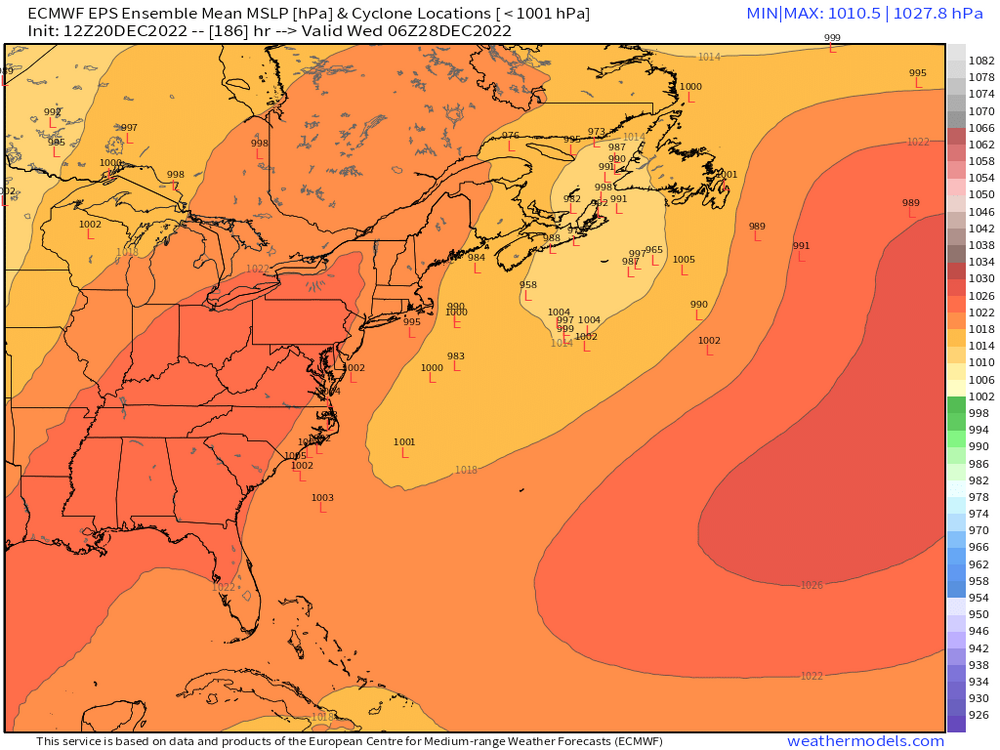
This is what guidance last week generally looked like prior to the end-of-week storm....you can see the PV lobe trapped in SE Canada just to our north. That's a cold look here. That obviously didn't materialize.
-
Here's 12 hours later....you can see a few members look good. But obviously still needs improvement
-
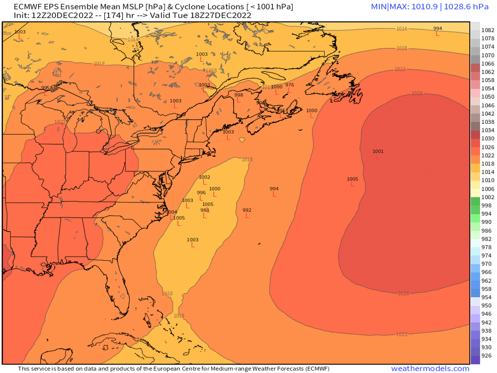
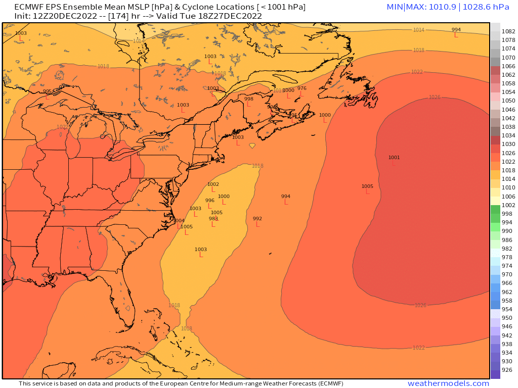
Some mild interest from the EPS