ORH_wxman
-
Posts
93,092 -
Joined
-
Last visited
Content Type
Profiles
Blogs
Forums
American Weather
Media Demo
Store
Gallery
Everything posted by ORH_wxman
-
‘95-96 is such a unicorn…so I hate using that as an example. No previous winter looked anything like it really. Maybe 1898-99…a bit colder but less snow in the northeast (more snow in southeast) Maybe ‘60-61 but not sure if that year hit the southeast good
-
Vort on euro travels right over SNE so there’s plenty of opportunity to bring a nice stripe over the region. The key is don’t let the trough get too rounded which has happened on these 18z runs. Keep it just a smidge sharper and that has nice fronto band written on it.
-
Are they? I think we’d want deeper quantitative analysis to actually know the answer. They kind of seem to be a once per decade type thing…roughly speaking. If we’re including the southeast (and not just mid-Atlantic for the southern extent), then I think it’s probably a safe assumption.
-
Big dog east coast winters are rare anyways. Even historically. The 1980s had some decent mid-Atlantic winters and southeast winters while we got screwed. Most of the good winters in the 1970s were more New England-centric with the huge exception of 1978-79.
-
To be fair, we’re still over 100 hours out. Hopefully things align once we get inside of 4 days. It’s not like we have a ton of variance on the larger scale trough position.
-
We’ll see if that changes as we get closer…sometimes on these fast flow with embedded vortmax events, higher res (OP runs) are gonna pick it up more than ensembles at lower res. I’m not sure if that’s the case here, but I think we’ll have our answer soon enough in the next couple of cycles.
-
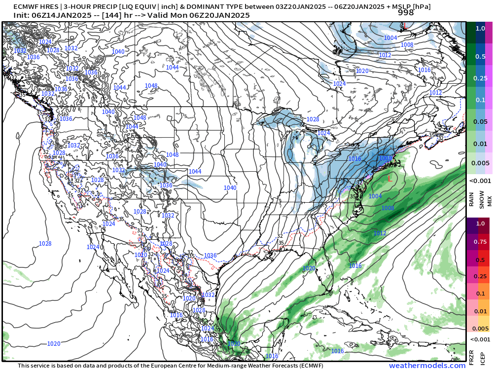
Definite banding sig SE
-
It will oscillate but I don’t think the goal posts are that wide. I expect the canadian to come east. It has no support from other guidance. I’m more worried about a whiff but the 12z GFS moving west to at least getting SE areas is a nice trend.
-
Can’t see QPF yet but Ukie looks pretty far east ala GFS. Canadian may have inherited Uncle’s nip stash after New Years.
-
Yeah those were big fronto bands. They had more vigorous upper level look though. Not quite as fast flow as this one. This one kind of reminds me of that 1/29-30 event in 2018. Was a 1-3” forecast…maybe 2-4” SE areas and this quasi-stationary fronto band with good snow growth set up from like RI to SE MA and got them with a stripe of 6-9”. Big positive bust. People outside the band didn’t have a big bust…it was mostly 1-3/2-4 elsewhere but an area under that band got hit really good. Mostly fell in about 3-4 hours too.
-
Yeah it does. It never goes super slow on guidance like you’d see in a blocky El Niño pattern but the PV lifts north some and the flow relaxes a bit as we get toward the final 7-10 days of the month. That would probably be a potential window for a larger system.
-
Yeah and they can become quasi-stationary since they typically align parallel to the upper level flow too. So sometimes you’ll get a surprise somewhere that gets stuck under one of those bands. Hopefully not offshore in this one.
-
ICON has a nice banding look for SE MA. Hopefully we juice this one up a little more and turn it into a higher end advisory event with maybe some low end warning lollis…it’s possible in these ML magic looks. The worry is making sure the vort doesn’t get ground up too quickly by the compressed flow.
-
Nice little zone of ML fronto on 06z euro. Would be good for some eastern peeps.
-
Actually prolongs precip a bit with IVT look behind the ML fronto. Not a huge event but for south shore peeps and SE MA it would feel like a KU after the last couple years. It does get advisory stuff back to CT river or a bit west even.
-
It has it at 12z but kind of weak. Like a 2-4” type deal. Might have to watch for flash freeze during it too on that type of solution because temps crash. Start off marginal and then drop down into 20s
-
@dendrite We have another one who needs to watch the Terminator movies.
-
yea previously the Canadian was delaying it a bit and turning it into a big overrunning storm but now it’s more like the Euro and GFS focusing the event on that one vort/jet streak on the east side of the trough.
-
I think it’s about 12-13$ per month if you go the full year but if you just go on a month by month basis it’s $15 per month. I don’t completely love them because I feel they can add more parameters on regional views but for the price they are decent enough. Pivotal is easily the best free site…only thing that bugs me with them is their pages just eat up massive amounts of bandwidth. Whether I’m on my computer or iphone, the browser always struggles a bit with pivotal.
-
I’m not particularly excited or confident about next Monday but there’s obviously some solid interest in multiple piece of guidance. We’ve seen some stronger correction on energy coming onshore already this winter, so who knows. Strengthen that vort a bit more and maybe you go from a middling moderate/advisory type event into a solid warning event. Obviously it could go the other way too…weaker energy would be susceptible to getting ground up.
-
I dunno…my original reason (and most others as well) for posting on these forums eons ago was to talk about potential winter threats…so trying to discuss one through a gauntlet of b*tching and moaning gets a bit grueling. I understand the sentiment of multiple seasons of getting porked…but probably better to be segregated from the actual wx/model discussion.
-
Seems overly pessimistic in here. Anyways. 06z euro was nice…esp for interior