ORH_wxman
-
Posts
93,099 -
Joined
-
Last visited
Content Type
Profiles
Blogs
Forums
American Weather
Media Demo
Store
Gallery
Everything posted by ORH_wxman
-
The entire gulf coast down there is in a remarkable setup. Could be some serious accumulations down to the delta in Louisiana and beaches of Alabama and Mississippi…in addition to the Florida panhandle.
-
Yeah that’s a pretty bad performance right there. If we start from yesterday 12z, I think we’re going to end up getting like a 70/30 or 80/20 compromise toward the GFS run. Doesn’t happen too often. I am still slightly worried about the precip shield. Euro finally looks pretty good but there’s still hints of raggedness even there and on GFS (and NAM is more ragged)
-
BOS gets hammered on that run.
-
They will do well imho. Their only risk was if these super zonked solutions like rgem prior to 12z were going to verify and make them too warm at 925 but that seems like a non-starter now. You typically want an intense mesoband with big ratios to get double digits in a storm moving this fast. We’ve seen in some before but it’s hard to forecast it. There is a cross hair sig showing up on a lot of guidance so it’s something to watch.
-
Your area may end up doing sneaky good.
-
This run is

-
Isn’t he in northeast CT? 1-3 sounds quite a bit too low there. Even for the valleys. Don’t think elevation will play a huge role..maybe only in the first couple hours.
-
I’m not discounting someone getting higher amounts either. This is the type of system where I’d prob have a slightly larger range than I typically like to have. If someone rips in a mesoband for a bit, they’ll prob get 10” or even a little more…but there’s a distinct path to getting 4-5” too. I kind of hate using the 5-10 range but this is the type of storm I might use it. Unless we get a little bump back in the more organized direction on tonight’s 00z runs…if that happens then maybe I’d be more inclined to go with the higher floor. The huge uncertainty too is the ratios. This is a storm where going 10 to 1 in the interior might be low balling. I’ve seen storms bust on snow amounts even if QPF was pretty accurate because a large swath got fluff-bombed with 18 to 1 or 20 to 1 ratios.
-
I think 8” as a floor is too aggressive. Not saying you won’t get that much, but as someone who is looking at this with kind of mediocre QPF from the Euro/NAM and some slight backing off on the GFS….given we still have 30 hours to go, I think a good forecast would hedge with a lower floor. Ratios will probably be good over interior so that will help some, but I’d want my forecast to cover a scenario where we get 0.4” of QPF with maybe like 13 to 1 ratios if we don’t get into the best stuff.
-
Done. No worries, lol.
-
There’s no need to deny the SE shift. It’s def went a bit SE and slightly less organized. It just means we’re prob not getting 12-16” of snow…I’d still go a solid 4-8/5-10 over the central zones.
-
GFS ticked cooler again for those on the line in far SE areas. Still excellent for most of us in the interior.
-
Pretty good move E by Reggie. Figured it was coming at some point.
-
Ratios could be good over the interior too…so even if something like half an inch of QPF verified and not larger amounts, could still put up 8” from that.
-
I think the position of the low affects it somewhat. NAM and EC are SE and weaker…not as consolidated. I think a more consolidated low will really make a difference in QPF as the conveyors are more mature. You can see on that saturation coloring how the low level WCB and CCB are basically disjointed whereas on the juicier models, they are linked and much healthier looking.
-
Rgem is still significantly warmer than them out east. It’s having trouble getting any accumulating snow inside of 495. Tossed.
-
NAM not overly impressed with QPF. Euro-esque.
-
Still very big differences between the two. 12km NAM was a compromise of sorts but 3k looked more like euro…which is funny because yesterday the 3k looked a bit better. Now it’s the 12km.
-
Coastal NH will have almost zero issues. Maybe a little paste at the onset before the CF rapidly sinks SE. most of the heavier snow will be with temps in the 20s even down to north shore coastal MA…the battle zone for a consequential amount of paste prob starts closer to BOS on the coast and then moving south toward Scott.
-
06z backed off some. Still worth watching but feels like a whiff wide right.
-
I’m not seeing this complete cave. It’s def moving NW but it still looks somewhat ragged and nothing like these bigger hits ala GFS. Euro tracks this well SE of ACK while GFS is over the cape.
-
Not gonna be paste there. Maybe right at the onset but quickly will go to powder.
-
Latitude becomes a bit of an issue in SE MA with what’s going on aloft and potential dryslotting. But even with that said, most non-RGEM guidance at least gives you advisory snows. Close to warning on a few models like GFS but there’s def gonna be a cutoff between places that get 4-8” and only 1-3” at the end.
-
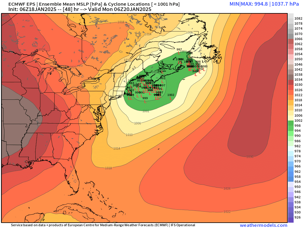
Here’s 48. Don’t really need 54h as it’s gone by then