-
Posts
93,092 -
Joined
-
Last visited
Content Type
Profiles
Blogs
Forums
American Weather
Media Demo
Store
Gallery
Everything posted by ORH_wxman
-
This is more of a semantics argument. I think Don is really just saying “this behaved a lot like other storms on model guidance that would easily hit us at D6-7”….you see some actual hits in the Op runs plus a bunch of close calls and the ones that weren’t hitting us were trending in a good direction until they weren’t. But there was a time where it looked very realistic. It wasn’t a clown range fantasy or something like the GGEM continuously showing the storm at D5-7 but no other guidance agreeing with it. It behaved like many systems that would hit us. But that’s part of the challenge in this field….we aren’t smart enough to calculate millions of perturbations in the atmosphere…otherwise we wouldn’t need model guidance.
-
Yeah we lost the blocking that retrograded from Scandinavia. I actually would've liked to see that stay because it's a nice orientation for us....but I'd gladly roll the dice with that newer look too.
-
Little vort rotating down....18z NAM now has it too and gives BOS a few tenths of snow.
-
-
1980s had some good march storms. They were pretty awful other months though. March 2013 through 2019 was a pretty good period. 2014 was annoying because it was like a top 5 coldest March but we couldn’t buy snowfall. NNE cleaned up though that month. We came close to a historic big dog in March 2023 but that nipple low really killed us in eastern MA.
-
I was walking to the seaport every day for work from south station that winter and even Boston harbor was completely frozen until late March. At the peak of it in late February and early March, you couldn’t see open water looking out east. I think it was frozen solid at least 5-6 miles out when we looked at satellite. The of course it was frozen much further than that when you looked at Cape Cod Bay and Nantucket sound. You could prob walk from Ptown to MVY in a straight line that month…right over the bay and across the mid cape and then across the sound.
-
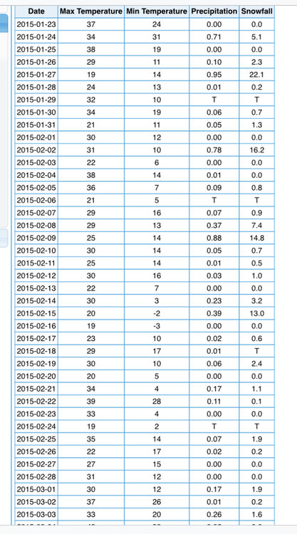
The crazy part about that pattern is we left a couple events on the table too. That’s how favorable they setup was. We had that 1-2” event on 1/31 that was trying to blow up and give us 6-10/8-12 briefly on some guidance…ended up destroying downeast Maine instead…and some of the second half of February stuff didn’t quite amplify but it was there for the taking. Not that we could ever complain about it’s amazing how many shortwaves just wanted to produce. The craziest one is still the 2/7-2/9 event…I remember a bit over a week out we were all saying “could be a brief milder period with a bit of thawing before we reload”…and yeah, like 90% of the country did torch for a few days but that arctic boundary draped SE from Canada over New England and we ran those ripples of low pressure under it and we stayed cold. I remember the first day or two of that event it was like 70F just south of DC and well into the 60s in S NJ. Crazy how it broke in our favor….now we’re paying for it.
-

New England Winter 2024-25 Bantering, Whining, and Sobbing Thread
ORH_wxman replied to klw's topic in New England
See if they can do that for ORH and BDL too. We might need to wait for them to degrade a further half degree to be outside of the “calibration error” of 2F. I still can’t believe that’s the tolerance interval. Does anyone ever talk about that or do we just pretend that being off 1.5F is normal? -
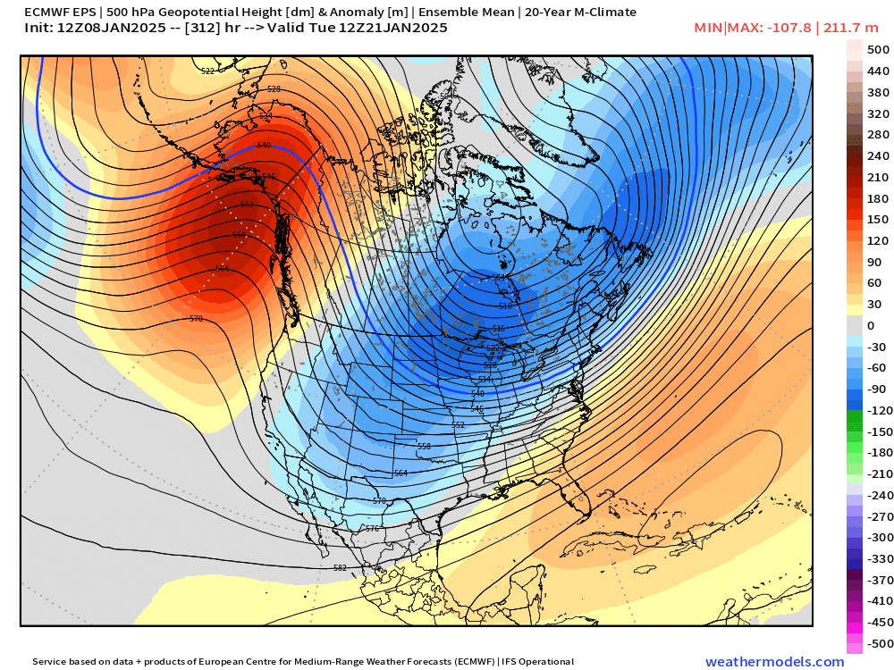
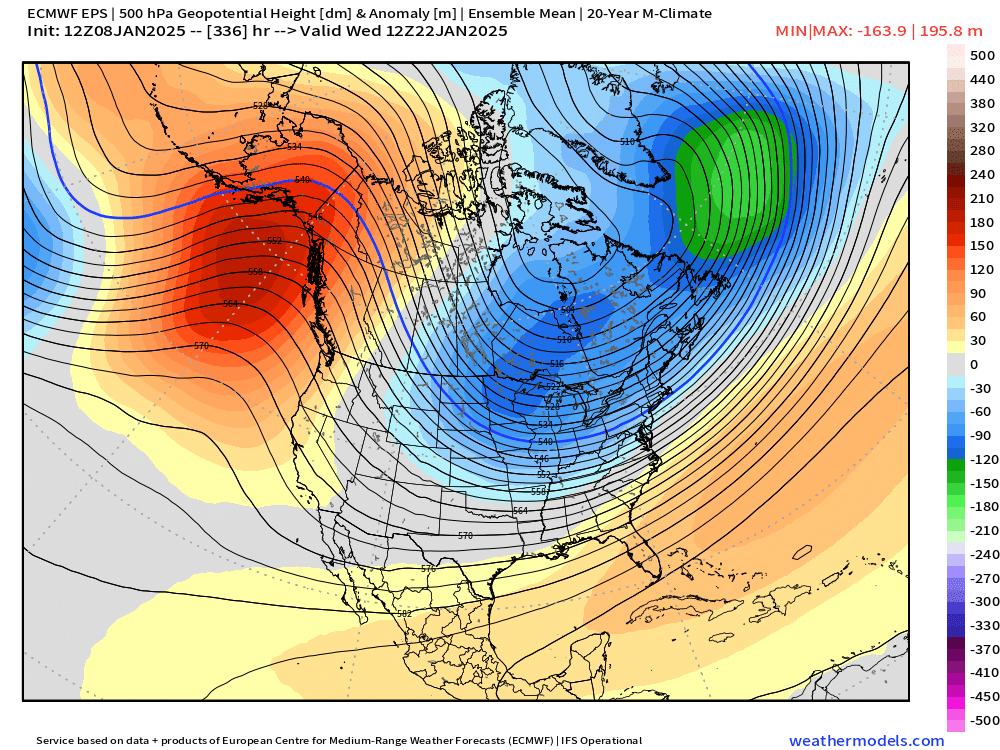
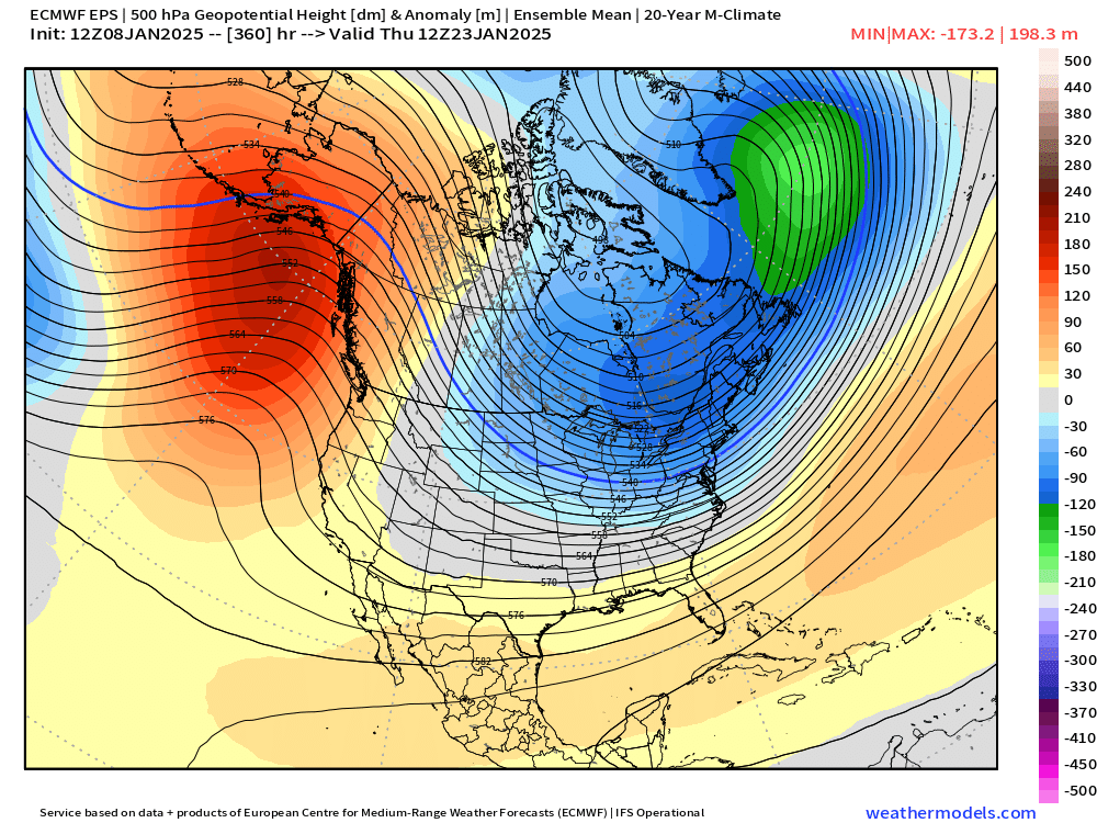
Ensembles on both GEFS and EPS have a decent cutter signal around D10 too. Hopefully that trends into a SWFE look or we’re doing a carbon copy 1980s pattern as it goes back into the arctic freeze behind it.
-
On the flip side, the Euro has sometimes completely schooled guidance when it's on an island with a biggie....February 2013 blizzard comes to mind as the most ridiculous one. I think it flew solo for like 3 runs in a row. But usually you want to see at least 2-3 runs in a row. A single rogue run I don't really count. The January 2015 blizzard is prob the only one true monster in SNE I think it really struggled with to some extent in the last 15 years....but the GFS was garbage in that one too. RGEM was the one that nailed it inside of 48h.
-
Yeah. It’s pretty close imho. I think for much of the 2000s/2010s this area averaged more but the longer term means are likely very close. His area prob averaged more in the 1980s/1990s. There seemed to be a higher frequency of elevation events during that period…and then of course a really huge run for eastern MA snow weenies in the 2000s/2010s…unfortunately we started taking that run for granted and didn’t expect such fast regression the last 2-3 years.
-
Yeah I’d put Kevin around 60-62”. When I really studied Union CT climo back in the day, I had them pegged around 64-65” and Kevin is prob like 3-4” less than them. The spine of the hills from Union into Tolland is prob the best spot in CT for snow east of Litchfield county. The only competition might be that border area a bit north of @Ginx snewx near 700-800 feet….they do sneaky good too.


