Albedoman
-
Posts
1,378 -
Joined
-
Last visited
Content Type
Profiles
Blogs
Forums
American Weather
Media Demo
Store
Gallery
Everything posted by Albedoman
-

E PA/NJ/DE Spring 2026 Obs/Discussion
Albedoman replied to PhiEaglesfan712's topic in Philadelphia Region
Yes I agree, the clody maritime SE fetch is going to destroy the instability factor east of the Blue Mts. No sunshine = no severe weather. The race is on if the sun comes out before the storms hit our area. I see a duration of light to moderate rain until late in the afternoon as the best bet. Rumbles of thunder and heavier downpours tomorrow evening with squallywinds at frontal passage . Anyone west of York/Lancaster, watchout. Tornado watches west of Berks county a good bet -
E PA/NJ/DE Spring 2026 Obs/Discussion
Albedoman replied to PhiEaglesfan712's topic in Philadelphia Region
I guess the point I am making, is all of the years were either were going in or out of an el nino. It really does not matter until late october or early November anyway to call the upcoming winter. SST and the SJS controll the el nino anaywat. The best way to know is wait until late Novmeber and if Baja LP go to the 4 corners- watch out baby for Miller A's. The place that gets hosed the worst in the US is the mid south- some of the worst winter tornadoes in the country occur in November and December in the Memphis area in a raging el nino. I have experienced that too-- the infamous W Memphis Tornado in 1987 with massive flooding right after. The only time I witnessed 18 wheelers stacked on the second floor of a hotel after the tornado hit the truck stop and the huge I 40/55 interstate overhead signs twisted like licorice. What gets me is in all of those years above, I also had to shovel out in every one of those storms - el nino or not. To make outragous predictions this far in advance is complete stupidity. I guess that is why he is on TV In the case of our Oceanic Niño Index (ONI), there was one really oddball El Niño episode that maximized during the late summer/early fall in 1987. This El Niño is also unusual because it spanned two consecutive winters (1986-87 and 1987-88). https://www.facebook.com/watch/?v=850325316247225 -
E PA/NJ/DE Spring 2026 Obs/Discussion
Albedoman replied to PhiEaglesfan712's topic in Philadelphia Region
way too early to even say things like that. Let him sleep while we dig out. Some of the biggest snowfalls ocucr during a raging Nino here. here is my proof. He needs to go to school The Lehigh Valley often sees its highest snowfall totals during El Niño years, which are historically linked to 8 of the 10 snowiest seasons on record for the region. El Niño patterns frequently bring increased moisture to the Mid-Atlantic, often resulting in major winter storms or "nor'easters". Snowiest El Niño Seasons The following winters occurred during El Niño phases and produced some of the highest total snowfall recorded at the Lehigh Valley International Airport (ABE): 1993–1994: 75.2 inches (The all-time record for seasonal snowfall). 2009–2010: 59.8 inches (Includes the "Snowmageddon" period). 2013–2014: 68.1 inches. 2020–2021: 58.1 inches. Notable Individual Storms (El Niño Related) Major single-storm events in the Lehigh Valley often align with these patterns: January 22–23, 2016: 31.7 inches — The biggest two-day snowfall in Lehigh Valley history (often referred to as "Snowzilla" or Winter Storm Jonas). February 1–2, 2021: 27.3 inches — The second-largest recorded snowfall event. February 11–12, 1983: 25.2 inches — A massive nor'easter during a strong El Niño year. March 13–14, 1993: 17.6 inches — Known as the "Storm of the Century". -
E PA/NJ/DE Spring 2026 Obs/Discussion
Albedoman replied to PhiEaglesfan712's topic in Philadelphia Region
now this video is something I never seen in my 67 years of living today. A F-2/3 tornado hitting Michigan in early March next to a body of water being completly frozen. How weird is that? https://www.facebook.com/reel/911913728151145 -
E PA/NJ/DE Spring 2026 Obs/Discussion
Albedoman replied to PhiEaglesfan712's topic in Philadelphia Region
I hope so -
E PA/NJ/DE Spring 2026 Obs/Discussion
Albedoman replied to PhiEaglesfan712's topic in Philadelphia Region
first decent heavy rain event in 3.5 months for LV. We really need this rain and it will soak into the unfrozen ground this time. This really will help the drought situation and farmers fields and will bringing up the base flows in the streams. -
E PA/NJ/DE Spring 2026 Obs/Discussion
Albedoman replied to PhiEaglesfan712's topic in Philadelphia Region
In 2026, the first day of astronomical spring (vernal equinox) in the Northern Hemisphere is Friday, March 20, at 10:46 a.m. EDT. I expect a ton of backdoor coldfronts, foggy days and miserbale cold/cloudy drizzle rains in the next month. A 70 degree day with sun will be a rarity until the pattern changes in late March. Would not be suprised to see overruning mixed precip events the next two weeks too with 3-6 wet snows. We have not even had a dafodill snow event yet let alone a tulip/onion snow and posters are saying that winter is over. This what I have to say about that https://www.google.com/search?q=john+belusho+germans+bombing+peral+harbor&oq=john+belusho+germans+bombing+peral+harbor&gs_lcrp=EgZjaHJvbWUyBggAEEUYOTIICAEQABgWGB4yCAgCEAAYFhgeMg0IAxAAGIYDGIAEGIoFMg0IBBAAGIYDGIAEGIoFMg0IBRAAGIYDGIAEGIoFMg0IBhAAGIYDGIAEGIoFMgcIBxAAGO8FMgoICBAAGIAEGKIEMgoICRAAGIAEGKIE0gEKMTQ3MzhqMGoxNagCCLACAfEFvcZ-XV7KWAI&sourceid=chrome&ie=UTF-8#fpstate=ive&vld=cid:6c04cf49,vid:V8lT1o0sDwI,st:0 -
E PA/NJ/DE Winter 2025-26 Obs/Discussion
Albedoman replied to LVblizzard's topic in Philadelphia Region
This is how close we almost got wacked with ice jams this year. This picture is from the Upper PA forum this afternoon. If we had had the precip pattern that we normally are accustomed to, the Delaware River would have looked like this all the way to Ft Washington, This was taken on the Susequehanna in Luzerne County. The extreme cold with no precip for 3-5 weeks is still unbeleivable. I believe after March 15, the precip machine will finally turn on for us. The drought warning that we are in is basically for groundwater issues as there has no groundwater recharge since last summer. -
E PA/NJ/DE Winter 2025-26 Obs/Discussion
Albedoman replied to LVblizzard's topic in Philadelphia Region
Friends, the drought guy here has shown my experience now. I finally had enought time the last few weeks to gather my educational background information to provide the board with earning my met tag. Thanks guys -
look where S Mtn range is - where the heaviest returns are
-
That issue with the flood warnings has been resolved over two years ago. Worked with the USGS and Mt Holly setting up criteria for issuing flood warnings for the new USGS solared powered telemetry flood guaging stations near my backyard on Spring creek and the Little lehigh Creek. The most accurate guages in the system IMHO. I have down to the .5 ft of height to the 100 and 500 yr floodplain levels
-
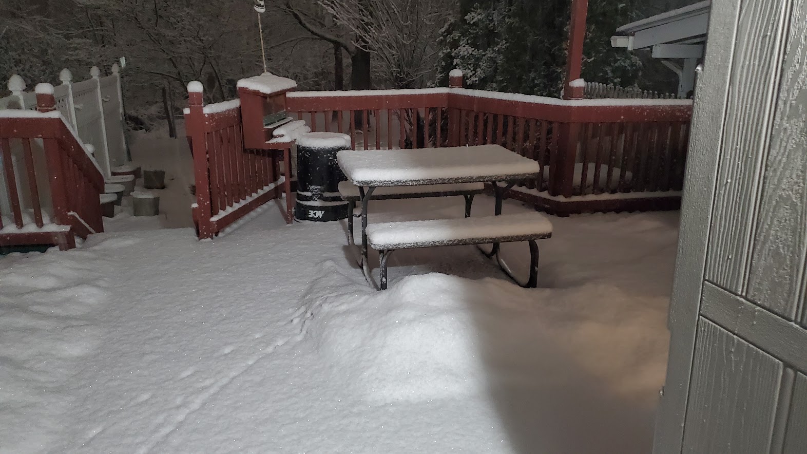
I live near Rt 100. about 2 miles from bear creek. As I said in an earlier post, Heavy Snow rates and the banding due to orographic lifting over S Mtn range with a SE fetch. Its all physical geography. Yes, it is puking snow right now 2-3 inches already. Flakes are fluffy
-
Comment all you want at each of the BS model issues , debbbie downers and upbeat amounts posting. Have fun. This old timer only looks at one one model right now ---the NAM and I am also someone convinced of the HRRR lately at this range. - all the rest are garbage for this type of storm event. I have seen and experienced all of the biggies from 1983, 2010, 2021 etc. At this range it is usually the NAM. While it appears a little on the high side right now at these OZ runs tonight, its going to be close depending who gets the deformation bands. These bands tend to fire up along the S Mtn range too so watch out - there will be screw zones. This map seems very plausible to me after doing this for 35+years Where is the thundersnow guys? This will be a defintley in the cards too. Sleet may cut the totals along the coast in the heavier bands
-
river does not divide- geography does. S Mountains will be the dumping ground with oragraphic lifting and banding
-
Why do guys even listen to him? MY god, it like listening to this the most annoying sound in the world
-
Thanks Mike - I forgot. Still used to travelers advisories in my old age. The conditions will be ripe for blizzzard conditions thats for sure anyway.
-
Who cares let the the kids throw the pennies into the light socket and watch them get the shock of their life. Its the experience of the shock that counts.
-
Thats why I said what I did as this entire event unfolds today. - with the complete model analogy you must wait until the OZ runs tonight before locking in on these insane snowfall amounts. I have been burned too many times locking in with snow weenie amounts only to watch them dwindle with some freak snow banding situation that pops up. Going negative tilt brings on these type of, especially for the coastal regions. Blizzard watches out for the Atlantic City area? Just how far can it tuck in and deep can it go. Stil too many issues on the table. Lehigh Valley, this looks like we will be watching the Delamarva area get their share now of snow with this storm
-
will you guys believe me now? As far as LR models go, the typical pattern MO this year is the LR models show the MECS storm potential at 7-10 days.---lose the MECS potential at 4-6 days and then bring the potential MECS back in a diminIshed capacity IN THE MESO'S----LET IT PLAY OUT FOLKS. I AGREE THAT 6-12" SEEMS PLAUSIBLE --I AM GETTING BLUE IN THE FACE FROM POSTING THIS The GFS models showed 5 days ago 30 inches- all hell broke loose on the board. Then the models lost it all and bang guess what? the NAM brings 20+ inches to the area this afternoon. I am still going with a minimum of 6-12 in but I am willingly to go higher and raise the stakes if the OZ runs show this 18+ in trend being stable. There maybe a few debbie downers later this evening if it goes down as better model dat gets ingested. I also said this storm would happen after the 22nd after the pattern changer on the 14-16th.
-
E PA/NJ/DE Winter 2025-26 Obs/Discussion
Albedoman replied to LVblizzard's topic in Philadelphia Region
As far as LR models go, the typical pattern MO this year is the LR models show the MECS storm potential at 7-10 days.---lose the MECS potential at 4-6 days and then bring the potential MECS back in a diminIshed capacity IN THE MESO'S----LET IT PLAY OUT FOLKS. I AGREE THAT 6-12" SEEMS PLAUSIBLE --I AM GETTING BLUE IN THE FACE FROM POSTING THIS IN THE LAST WEEK -
E PA/NJ/DE Winter 2025-26 Obs/Discussion
Albedoman replied to LVblizzard's topic in Philadelphia Region
As far as LR models go, the typical pattern MO this year is the LR models show the MECS storm potential at 7-10 days.---lose the MECS potential at 4-6 days and then bring the potential MECS back in a diminshed capacity -
E PA/NJ/DE Winter 2025-26 Obs/Discussion
Albedoman replied to LVblizzard's topic in Philadelphia Region
we are all optimists not pessimists. Go post on his page and rave to your hearts content about how great this guy is. His forecasting is like walking with two left feet and trying tie his shoe laces with no thumbs. Hopeless -
E PA/NJ/DE Winter 2025-26 Obs/Discussion
Albedoman replied to LVblizzard's topic in Philadelphia Region
I usually, I do not say much about this guy as he always jumps on board at the last minute with hand drawn maps and makes grossly inaccurate long range forecasts. Ralph Wiggum and LV Blizzard has him beat by miles. Anything DT says now, take with a grain of salt. I been reading this guys posts, for 10+ years and I believe Ji from the MA forum more than this DT. As far as LR models go, the typical pattern MO this year is the LR models show the MECS storm potential at 7-10 days.---lose the MECS potential at 4-6 days and then bring the potential MECS back in a diminshed capacity, especially with qpf amounts, usually cut by 25% or more. This dam reliable LR prediction pattern destroyed my latest prediction on last nights storm where I thought we could get 6+ inches of snow and only got 2-3 inches here in the LV (over ten days ago.) Lets hope the MECS sticks around this time. A separate thread should not be started until Friday evenings Meso runs - anything before then will jinx it. You are warned -
E PA/NJ/DE Winter 2025-26 Obs/Discussion
Albedoman replied to LVblizzard's topic in Philadelphia Region
Yes on Feb 1, I said 6-12 inches of snow and a pattern change. The pattern change has happened but unfortutantly I was off on the qpf by .50. Not to shabby. I also stated this on Jan 22, 2026 ----"1994 all over again folks if that happens" Well the storm did happen and the depth of cold we have had has rivaled 1994 This weekend' storm is a real crap shoot right now in our relaxed pattern but it would not suprise me at all we all get at least a foot of wet snow as the new pattern really sets in for more warmer temps in the first week in march. I am getting concerned that too much frozen precip right now will enhance ice jamming and flooding, especialy when the pattern gets really warm and perhaps even wet in early march. The temps in early march say we torch to 70 degrees on the GFS. The ice in the Upper Delaware river cannot deal with sudden temps changes into the 60 -70's and if we get heavy rainfall, the residents along the major tribs will be in trouble.