

StantonParkHoya
-
Posts
1,183 -
Joined
-
Last visited
Content Type
Profiles
Blogs
Forums
American Weather
Media Demo
Store
Gallery
Posts posted by StantonParkHoya
-
-
It’s really a tough pill to swallow flushing the first two weeks of January. By mid Jan we’re eyeballing like 4-6 weeks as time on the clock to realistically score. Disclaimer: I do not like March snow as I’m fully in spring mode by then.
-
Euro might be cooking up something for mid next week
-
Probably best to take an average of the solutions
-
11 minutes ago, BooneWX said:
It’s a similar look to the GFS at 144
We looking at the same models?
-
Isn’t there a rule about NS interaction, always check with the UKie?
-
13 minutes ago, THEREALTOR1 said:
12/18/2009...can't remember which model showed it first but that's the last time I remember seeing something like this...
You do know we got several feet of snow from one storm in 2016
Still seems like people don’t talk about that storm enough.
-
 6
6
-
-
We need to just be glad it’s still showing a storm at this range
-
We rarely cash in on the first storm of the blocking pattern. Something has to set the table. I think this is it.
-
Well, no matter what happens with the snow, coldest Xmas in a long time seems to be a lock.
-
5 hours ago, Flagman69 said:
Looks like it will be an interesting Veteran's Day weekend for me and the family at Carolina Beach!
Not terribly at that point. Nor’easter in-and-out. Rain.
-
1
-
 1
1
-
-
53 minutes ago, ROOSTA said:
GFS 18z:
Looks tropical, looks like it has an eye.
The worst-case scenario for East Central Florida.
Thankfully a week out.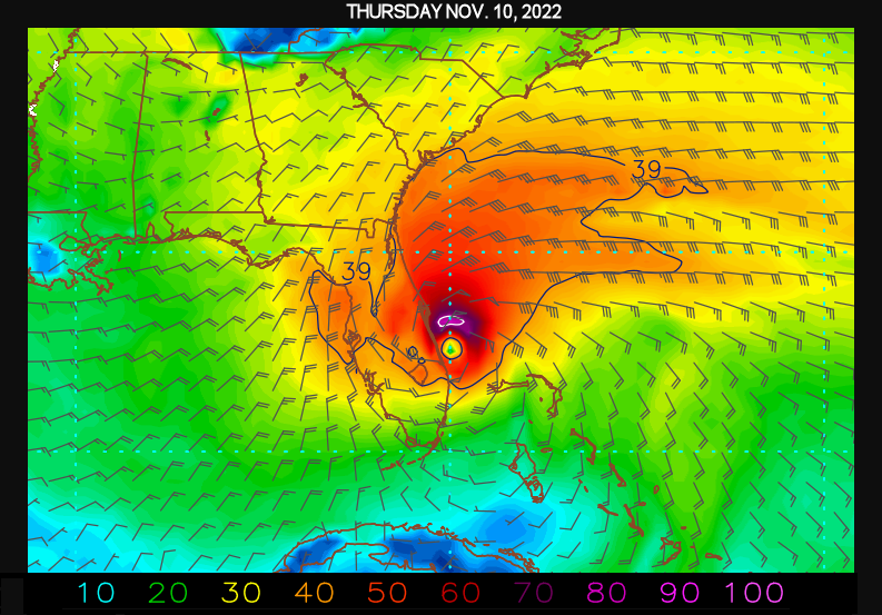
I can think of a lot worse case scenarios. This is a TS at best. More likely a sub trop deal.
-
The hype was certainly worse than the reality
-
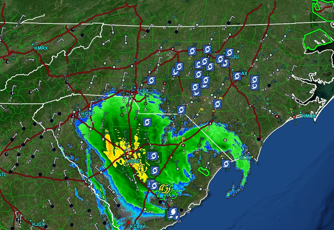
Things have kind of died down here in Raleigh and looks like the edge is nearing. Overall, much more similar to a January nor’easter than a cane.
-
1
-
-
Things have kind of died down here in Raleigh. Some occasional bursts around 30.
-
It would seem to me Ian’s forward speed has increased with the northwest turn
-
31 minutes ago, MattPetrulli said:
Large amount of wind damage reports coming in far inland.
Saving grace is probably going to end up being the fact we’ve been borderline drought. Otherwise uprooting would be major problem.
-
5 minutes ago, NorthHillsWx said:
I’ve just boarded my flight to Denver. Supposed to land in RDU at 11. Flight is still on time. We’ll see…
May take an interesting flight path down across SC and in from the southeast. Should be just about out of here by 11.
-
Just had a gust to 48 in north Raleigh.
also — it is cold out. 55 degrees.
-
1
-
-
9 minutes ago, HKY_WX said:
I Def think there will be some gusts 60+ in the triangle this evening. Not sure what amount of power outages that will equate to though.
If Duke would trim from time to time it probably wouldn’t be too bad
-
1
-
-
15 minutes ago, GaWx said:
Winds are now strong from the NW at Georgetown with SLP falling even more rapidly. It doesn't jibe with what Josh and Dr Knabb said about landfall already occurring.
NHC just called it at Georgetown SC
-
NHC just called it. Georgetown sc
-
6 minutes ago, GaWx said:
Thanks for the clarification. And now the NHC just said that it is hours from landfall. Makes much more sense.
Can you post where they say hours? I see where they say it is about to make landfall.
-
1 minute ago, gymengineer said:
I didn’t hear Dr. Knabb say what the poster claimed he said and I’ve had the channel on nonstop. He was saying landfall could be any moment, not that Ian had made landfall.
He walked it back after the initial comment when the host asked him if it had made landfall and he said yes
-
2 minutes ago, Bubbler86 said:
977 so now a Cat 2 mb gauge wise. That was called impossible yesterday.
That’s because it’s not purely tropical. This is no where near a cat 2.
Mid to Long Range Discussion ~ 2023
in Southeastern States
Posted
I don’t think I have to tell anyone in the SE that we cannot afford to burn January. Especially considering late February is becoming new spring lately.
Sun angle will start getting mentions as soon as February arrives as well.