HeadInTheClouds
-
Posts
1,691 -
Joined
-
Last visited
Content Type
Profiles
Blogs
Forums
American Weather
Media Demo
Store
Gallery
Everything posted by HeadInTheClouds
-
 Yeah, the fact that it's coming in mid day is a problem with surface temps in mid-upper 30's in the afternoon. Even by me north of 84 Albany is talking about snow to rain/snow mix.
 -
Around and north of 84 this is looking like it could be a quick hitting 1-2 inches. Thermals look to support mostly snow.
-
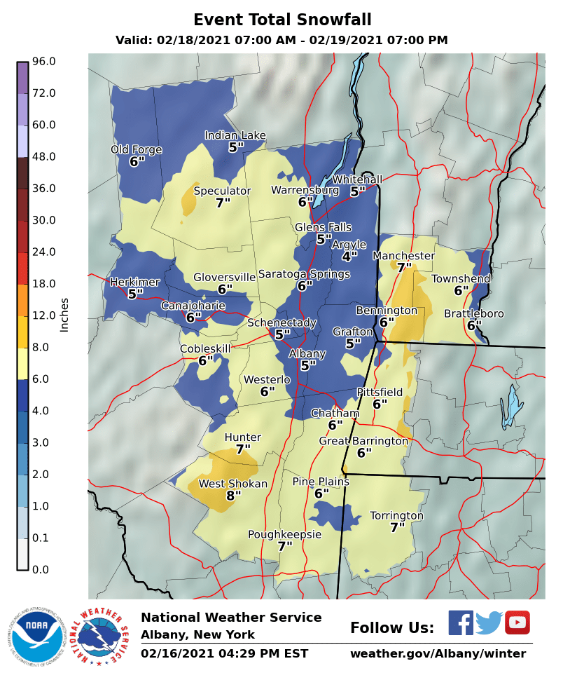
OBS and nowcast Thursday morning 2/18 - 11PM Friday 2/19/21
HeadInTheClouds replied to wdrag's topic in New York City Metro
30 and cloudy. Finished with 5. 50.5 for the season. -
OBS and nowcast Thursday morning 2/18 - 11PM Friday 2/19/21
HeadInTheClouds replied to wdrag's topic in New York City Metro
Still snowing moderately here but looks like it should be ending soon. eyeballing about 5. -
OBS and nowcast Thursday morning 2/18 - 11PM Friday 2/19/21
HeadInTheClouds replied to wdrag's topic in New York City Metro
28 with moderate snow. -
OBS and nowcast Thursday morning 2/18 - 11PM Friday 2/19/21
HeadInTheClouds replied to wdrag's topic in New York City Metro
25 with some light snow. 2 inches overnight for a total of 3.5. 49 for the season. Monday may bring a surprise or 2 especially north. -
OBS and nowcast Thursday morning 2/18 - 11PM Friday 2/19/21
HeadInTheClouds replied to wdrag's topic in New York City Metro
24 and cloudy. 1.5 so far. -
OBS and nowcast Thursday morning 2/18 - 11PM Friday 2/19/21
HeadInTheClouds replied to wdrag's topic in New York City Metro
It's not over till it's over. We were never supposed to get the heavy bands up here. It's going to snow light to moderate at times until tomorrow at noon. We should be able to pick up 3-5 in that time frame hopefully. I picked up .5 inch last night. -
Feb 18-19 long duration manageable snow and ice event
HeadInTheClouds replied to wdrag's topic in New York City Metro
I think he is snowman19's evil twin. -
Feb 18-19 long duration manageable snow and ice event
HeadInTheClouds replied to wdrag's topic in New York City Metro
He should talk. His totals are often very low. He was calling for 6-10 in early feb when it was clear that the city was going to get 12-18. -
Feb 18-19 long duration manageable snow and ice event
HeadInTheClouds replied to wdrag's topic in New York City Metro
Albany has Dutchess county in WWA for 3-5 inches. -
Feb 18-19 long duration manageable snow and ice event
HeadInTheClouds replied to wdrag's topic in New York City Metro
Euro QPF is pathetic. .2 to .6 area wide. -
Feb 18-19 long duration manageable snow and ice event
HeadInTheClouds replied to wdrag's topic in New York City Metro
I think its 7 in 12 hours or 9 in 24 but not 100% sure. -
Feb 18-19 long duration manageable snow and ice event
HeadInTheClouds replied to wdrag's topic in New York City Metro
I would basically go 4-6 for us. I can't see Albany going to a warning as it may not meet criteria. I could see a wwa for 4-7. -
Feb 18-19 long duration manageable snow and ice event
HeadInTheClouds replied to wdrag's topic in New York City Metro
For our area with ratios GFS is 6-8 and V16 is 4-5. -
Feb 18-19 long duration manageable snow and ice event
HeadInTheClouds replied to wdrag's topic in New York City Metro
Most models show more qpf for nyc metro than say around 84. CMC, Euro, V16, Nam all show that. Although we may indeed receive less qpf the ratios will be higher in 13-15:1 range and mixing is unlikely so at the end of the day everybody should see around 6 inches with a few slightly higher amounts. -
Feb 18-19 long duration manageable snow and ice event
HeadInTheClouds replied to wdrag's topic in New York City Metro
yes but v16 has been better with previous storms. Lets see what tomorrow brings. -
Feb 18-19 long duration manageable snow and ice event
HeadInTheClouds replied to wdrag's topic in New York City Metro
You might be right if the v16 and cmc are correct. -
Feb 18-19 long duration manageable snow and ice event
HeadInTheClouds replied to wdrag's topic in New York City Metro
And ratios are probably going to be 15:1. -
Feb 18-19 long duration manageable snow and ice event
HeadInTheClouds replied to wdrag's topic in New York City Metro
Even up north they are expecting decent snows.
-
Feb 18-19 long duration manageable snow and ice event
HeadInTheClouds replied to wdrag's topic in New York City Metro
I would love to see CPk get to 30" for the month because winter was over in early January according to some. -
Feb 18-19 long duration manageable snow and ice event
HeadInTheClouds replied to wdrag's topic in New York City Metro
ICON is trash especially with thermals. It had rain to Canada with last nights event. -
It may be a little more. A huge tree limb just broke off one of my trees and clipped my car. Ugh. I was below freezing all night. I'm now at 33.
-
32 and cloudy. Have about .10 of ice.
-
27 with light ZR.