

Scarlet Pimpernel
-
Posts
7,346 -
Joined
-
Last visited
Content Type
Profiles
Blogs
Forums
American Weather
Media Demo
Store
Gallery
Posts posted by Scarlet Pimpernel
-
-
Just now, mappy said:
If y’all had told me Washington would score 30+ points against Detroit, in the first half, on the road… I’d have laughed in your face.
this team is wild, what a ride. And we get the ball to start the second half. LFG!
Unreal first half for the WTFs!! Just the 2nd quarter alone even.
-
16 minutes ago, high risk said:
The Kuchera daylight ratios show us getting 37 straight hours of darkness.
You should use the daylight depth product, probably more accurate in this scenario.
-
 1
1
-
 1
1
-
-
1 minute ago, adelphi_sky said:
I see what you did right there. What are you? A math teacher or somthin?

Nope...just "angling" for bad humor is all! (But seriously, I do have a math background).
-
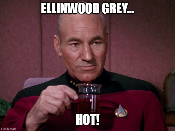
3 minutes ago, H2O said:
Nice map but I fucking hate it. will be a good call just shitty to see the cyan of sadness 1-3" IMBY
Is cyan the new @Ellinwood gray???
-
35 minutes ago, psuhoffman said:
We seem to have the dumb angle covered
That's one of the things we can excel at!!! We're a very...uhhh..."obtuse" bunch at times! And "acutely" sensitive to every single model change!

-
12 minutes ago, stormtracker said:
Ahead of schedule. Models didn't have it this dark yet.
Models totally blew the eclipse last April!

-
2
-
-
1 minute ago, mitchnick said:
That's what you get when all you have is a ruler to make a map.
Actually a bit surprised they're not going somewhat higher for the N MD counties.
-
 1
1
-
-
2 hours ago, MillvilleWx said:
Be on the lookout for falling iguanas after your rain
The RGEM still has the falling iguana line too far north and west. But it ticked a bit more south last run.
-
1
-
-
7 minutes ago, stormtracker said:
Pretty much always been that way for you guys and 2-4 for us. People really need to manage their expectations. Cities ain't getting 6" from this.
Yup...not all that long ago this looked like a decent minor or so level event, probably no more than 3-5" anywhere, with a blast of cold on its heels. Still a lot of fun! Then we had a few model runs that gave DC and other areas 6"+ and all too many people raised their expectations to that level. So tearing of hair and gnashing of teeth at every single blip. I get the concern we've had about temperatures in the metro areas, that's certainly legitimate, but this belief that we're all going to score a warning-level snow (or else it's a failure) is a bit much.
-
I mentioned this in the Banter thread, but this event kind of reminds me of Feb. 14, 2015. Not exactly but similar in some ways. We got a burst of snow squalls near evening for about an hour or so (got 2" where I'm at, though I know it was somewhat localized), which was followed by the Arctic blast on strong winds. It actually turned quite brutal out that evening, and remained extremely cold the next week. That's the last time I recall getting the level of cold that's projected for next week, on the heels of tomorrow's event. And the system tomorrow looks to be better than the one in 2015 (more general snow overall). I suspect we'll have a similar scenario with rapidly falling temperatures as the really cold air blasts in. (ETA: That 2015 blast also kicked off an amazing 4 week period of winter!).
-
3
-
-
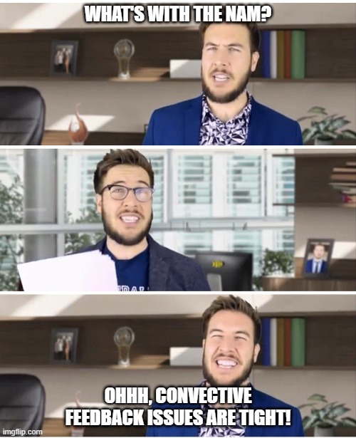
18 minutes ago, psuhoffman said:
I know the 12k NAM is having convective feedback issues.
7 minutes ago, stormtracker said:Convective feedback suck issues.
For anyone familiar with Pitch Meeting (Ryan George)...
-
1
-
-
1 hour ago, vastateofmind said:
I like the profile pic change, @stormtracker. As the dude responsible for social media at my small org, I struggle to come up with new and exciting ways to engage folks on MLK's birthday on those platforms. Biggest challenge at times is to find/utilize a pic of the man that hasn't been OVER-used before...so, semi-stealing your pic to squirrel away for next year's posts.
Same here. Always like @stormtracker's annual tribute to Dr. King. And the one he uses is a bit different than the photos of him that you usually see. He looks pretty young in that one? Wonder where/when that was taken.
-
3
-
-
The NAM 3-km, as I understand it, is still very good guidance for thermal profiles. As for overall precip, not sure.
-
I've been thinking, this is a very interesting period coming up starting tomorrow through next week. To me, it's kind of reminiscent of mid-February 2015. The event tomorrow reminds me of the burst of snow and squalls we got late in the day of Feb. 14, a quick 2" within an hour or so where I'm at. That was along the leading edge of an Arctic blast, it got very cold and windy in a big hurry that evening. It was really cool! That was followed by some extremely cold air the following week. That's the last time I remember it being so cold around here like that, and next week looks to be similar. Maybe the event tomorrow will be a bit more than the one in 2015 here in the metro DC area, if we're lucky!
-
1
-
1
-
-
1 hour ago, wasnow215 said:
Can somebody who knows explain to me what the difference would be with euro AI and regular the European model? Don't you have to put information into both in order to get whatever output? Does AI supply its own information and where do the weather balloons come in?
I'm far from an expert on AI or anything like that, but here's my understanding: The "regular" ECMWF model is based upon dynamic and thermodynamic equations (speaking very simply here), with a set of initial conditions and observations to start from. Those equations are evaluated through time to obtain forecasts. The AI version is based upon some collection of past "training data" (such as previous atmospheric conditions and observations, and perhaps analogues), which are sort of "regressed" or "correlated" against an independent set of observed data (think of it as a highly sophisticated multi-linear regression, in a way). Others can chime in, I hope this is reasonably accurate of a description albeit kind of simple.
-
 1
1
-
-
ICON somewhat juicier than it was earlier, it seems? Just going by what I saw here on a snow clown map above.
-
1 minute ago, mappy said:
Boozin’Nice! I'm on my 3rd glass of wine for the evening right now!
-
11 minutes ago, psuhoffman said:
2020 and 2023 would like to call and remind you want a disaster actually looks like
Amen! In 2022-23 I got literally 0.5" snow for the season that fell in the pre-dawn hours one day in early February, and it was gone before 10AM. That's it. Oh, and a bit of snow-TV later in February. It was consistently warm all that winter. That was truly a God-awful season.
-
1
-
-
Just now, NorthArlington101 said:
No Kuchera yet. Goalposts still seem very wide on this one. Tough forecast… don’t envy the pros.
How's that compare to 12Z or earlier cycles?
-
2 minutes ago, stormtracker said:
Euro got nothing over us yet at 12z, but it's actually a smidge colder than 12z leading in
Does it actually bring in the precip later than previously? Not saying that's a bad thing, just wondering in terms of start time.
-
5 minutes ago, H2O said:
This is a tea flavor as well. Its bitter and makes you sad
-
1
-
1
-
-
2 minutes ago, ravensrule said:
She didn't say "fudge!" She said the F dash-dash-dash word!!!
-
6 minutes ago, mappy said:
get the fuck outta here about foul language lol
-
1
-
-
23 minutes ago, stormtracker said:
I hope you'll turn on the TV and see the entire DMV with cars in ditches, airports closed, streets looking like a war torn third world nation, recitals and schools canceled, snowplows getting stuck as the area is getting destroyed with 2-3" per hour snow bands with lightning and thunder as temps are 12 degrees. and then it happens again 2 days later right before you come back.
So...basically, normal rush hour!
-
1
-

1/19 - The Roulette Wheel 29 Black Storm - OBS
in Mid Atlantic
Posted